
Travel spots in Lithuania
Hillforts in Lithuania
Lithuanian hillforts carry the memory of Baltic tribes and the wars with the Teutonic Order. Each page explains the site, its legends, and how to visit.
Search covers all 156 places in this category.
This category on the map →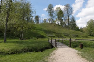
Alsėdžiai Hillfort, known as Žvėrinyčia or Žvėrinčius, is Cultural Heritage Register site 16307 in the north-western part of the town, beside a pond on an…
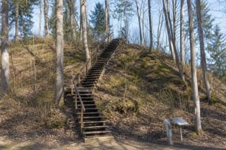
Altoniškiai Hillfort, also known as Altona Hill, occupies a high promontory on the upper terrace of the Nemunas's left bank, between the river valley and the…
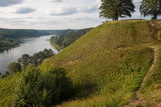
Alytus Hillfort at the Nemunas and Alytupis confluence is considered the birthplace of the city, where the medieval wooden Alytus Castle once stood.
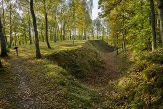
Anduliai, or Ėgliškiai, Hillfort is a Curonian stronghold protected by the Danė and Šaltupis valleys and forming a state-protected complex with its outer…
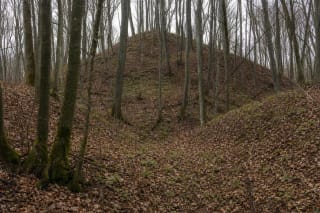
Aniškis Hillfort, also formally associated with the name Arminai, lies hidden in deciduous woodland near Lake Gudeliai.
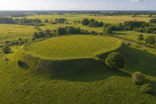
Apuolė Hillfort is one of the earliest places in present-day Lithuania mentioned in written sources: the Curonian Apulia is linked with Rimbert's account of…
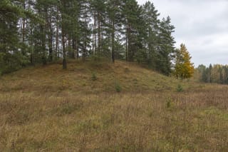
Atesninkai Hillfort, formally also called Pilalė, is a modest rise covered with pines and shrubs in Atesninkai I village.
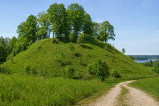
Aukštadvaris Hillfort, also known as Pilaitė, preserves far more than the trace of a medieval timber castle.
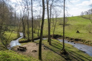
Ąžuolpamūšė Hillfort rises on the high ground at the confluence of the Tatula and Ūgė in Pasvalys District.
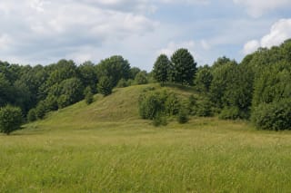
Bačkininkėliai Hillfort occupies a separate hill at the edge of the Nemunas left-bank valley, now on the western shore of Kauno Marios.
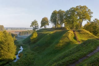
Bakainiai Hillfort, known as Pilis, is one of the largest defensive complexes in the Kėdainiai area.
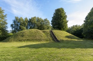
Bambininkai Hillfort, registered as Ąžuoliniai and Bambininkai Hillfort with Settlement, stands on the left bank of the Bambena in the village of Ąžuoliniai.
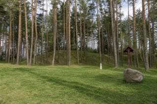
Barčiai Hillfort is a substantial pine-covered mound above the right bank of the Uosupis, officially registered as Ulbinai, Čepelūnai, Barčiai Hillfort.
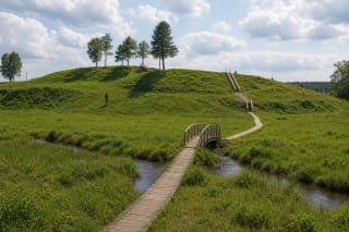
Bėčionys Hillfort is a small mound with a 40 x 20 m summit on the right bank of the Gauja in Dieveniškės Historic Regional Park.
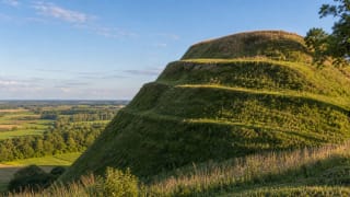
Bilioniai Hillfort, also called Švedkalnis, is a massive Samogitian hill with an oval summit platform, terraced slopes, and traces of a foot settlement.
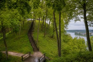
Birštonas Hillfort, better known as Vytautas Hill, is a state-protected archaeological site in Vytautas Park at a sharp bend of the Nemunas.
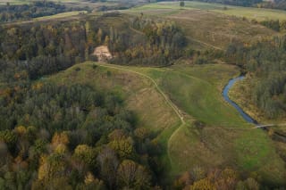
Bradeliškės Hillfort, also known as Pakilta, is one of the largest hillforts in Neris Regional Park.
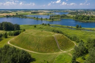
Bubiai Hillfort stands on the Dubysa bank beside Bubiai Reservoir, south-west of Šiauliai.
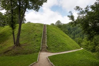
Buivydai Hillfort occupies a high promontory above the Dūkšta Valley, about 400 metres south of Bradeliškės Hillfort.
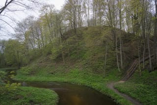
Burbaičiai Hillfort, also called Piliukas, rises on the right bank of the Kražantė at a small tributary.
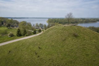
Buteliūnai Hillfort is an open mound clearly visible from a village road on the south-eastern shore of Lake Prapuntas.
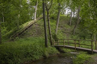
Daubariai I is the larger of two hillforts beside the Viešetė stream.
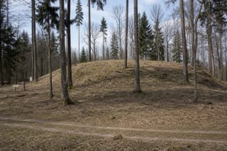
Dirmiškiai Hillfort, formally also called Strumpakalnis, is a compact woodland rise with an unusual plan.
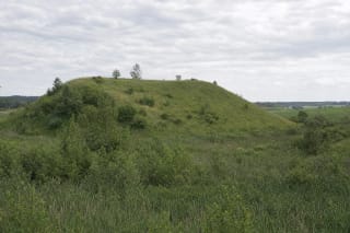
Dirvonai Hillfort in Kalvarija Municipality is not the site of a famous documented castle.
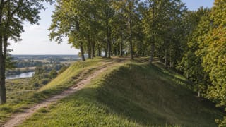
Dovilai Hillfort, also called Gedminai Castle, Muškalnis, or Pelutė and Pelalė Hill, is a national-significance monument in the Cultural Heritage Register (code…
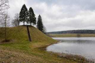
Dukurnonys Hillfort and Settlement stands beside Lake Surmius in Dukurnonys village.
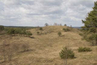
Einoronys Hillfort, also registered as Pilies kalnas or Castle Hill, occupies a massive isolated mound within Pivašiūnai Geomorphological Reserve.
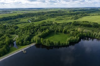
Eketė Hillfort near Gvildžiai was one of the largest Curonian centres on Lithuania's coast.
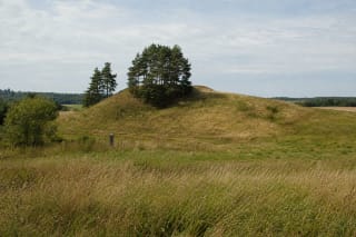
Elveriškė Hillfort, also registered under the name Eglynkalnis, is a small isolated mound among fields near Rudamina.
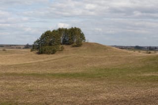
Ežerėliai Hillfort occupies a broad isolated rise among the fields of Ežerėliai, a few kilometres south of Šventežeris.
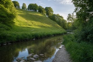
Gandinga Hillfort I, also called Gondinga Castle, is the principal fortified hill in a five-hillfort archaeological landscape on the right bank of the…
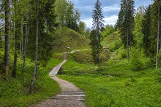
The Gegrėnai Hillforts near Žemaičių Kalvarija are a major Žemaitija National Park archaeological complex.
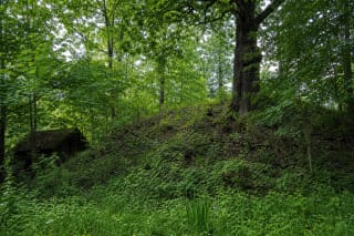
Geruliai Hillfort in Prienai District is a small archaeological complex covered in mature deciduous trees and undergrowth.
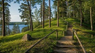
The Ginučiai and Papiliakalnė hillforts in Aukštaitija National Park form one of the strongest historical landscapes in lake-filled Aukštaitija, joining the…
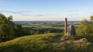
Girnikai Hill, also called Girnikų šventkalnis, is the highest point in Šiauliai District (183.4 m) in Kurtuvėnai Regional Park.
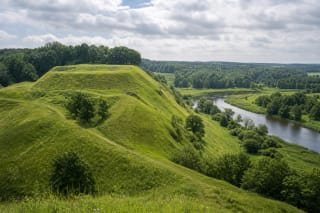
Imbarė Hillfort, also called Pilalė, is one of the key Curonian hillforts in the Salantai area: from early fortifications to a tenth- to thirteenth-century…
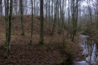
Ivangėnai II Hillfort occupies a spur on the left bank of the Suvirkštė, about 100 m southeast of the larger Ivangėnai hillfort.
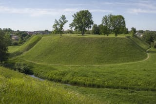
Jurbarkas Hillfort, known as Bišpilis, rises on the left bank of the Imsrė at the north-western edge of town.
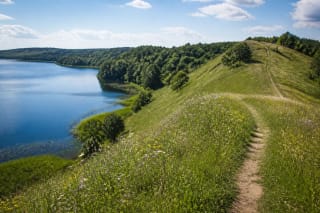
The Kačėniškė Hillfort area in Sirvėta Regional Park combines the Lake Mergežeris shore, Čiūlėnai upland relief, an early archaeological layer, and a nature…
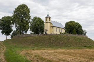
Kalnelis Hillfort near Joniškis is the site of the Semigallian Sidabrė castle, described in chronicles as the strongest and last Semigallian fortress, which…
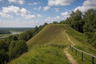
Kalniškės, or Gargždai, Hillfort rises about 20 m above the Minija near Gargždai.
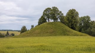
Kalnujai (Palendriai) Hillfort in Raseiniai District is a defensive site dated to the first millennium, with two ramparts and a sensitive twentieth-century…
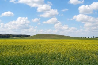
Kampiniai Hillfort, also recorded as Apšutkalnis, is a low, elongated grassy rise in the open fields of Kampiniai.
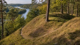
Karmazinai Hillfort, also called Viršupis, is a small but important defensive hill in the Dūkšta valley of Neris Regional Park.
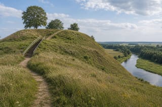
Kartena Hillfort rises above the Minija valley: a Curonian-period hillfort with a 48 x 40 m platform, two ramparts, and ditches.
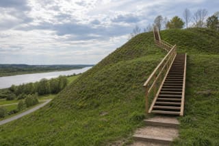
Kartupėnai Hillfort rises on a 20-metre spur between the Nemunas valley and the Kartupis, immediately beside Panemunė Castle.
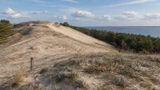
Karvaičiai Village Site and Dune recalls a fishing village first recorded in 1509 and the birthplace of Liudvikas Rėza in 1776.
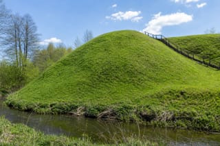
Kaukai Hillfort occupies a bend on the left bank of the Peršėkė, while the heavily eroded Obelytė Hillfort and its outer enclosure stand across the stream as a…

Kaunas Fortress Third Fort is a symmetrical red-brick and earthwork fortification built in 1882-1889 in the city's south.
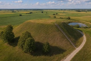
Kaupiškiai Hillfort rises on an open hill west of Kaupiškiai village, where the rolling uplands of Sūduva begin to flatten into broad farmland.
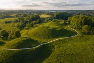
Kernavė Archaeological Site is a UNESCO-protected cultural landscape of the Neris valley, Pajauta Valley, and five hillforts, preserving some of the most…
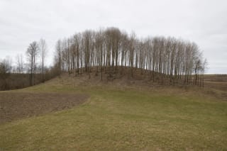
Kieliškas Hillfort is a small, wooded, detached mound above the right bank of the Peršėkė in the farming landscape of Kieliškas village.
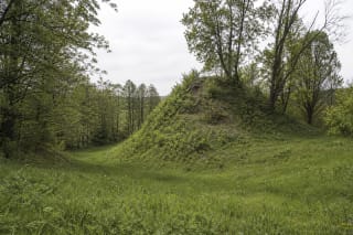
Klebiškis Hillfort, also known as Pakiauliškis, is not a conventional mound with a surviving summit platform.
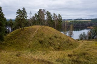
Krūminiai Hillfort rises on the right bank of the Verseka, between Krūminiai Reservoir and hollows belonging to the river's former valley.
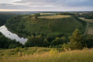
Kubiliai, or Papušynys, Hillfort occupies a large promontory at the confluence of the Dubysa and Gryžuva.
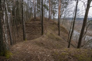
Kučkuriškės Hillfort, also called Naujoji Vilnia Hillfort or Barsukynė Hill, stands near Kučkuriškės in the eastern Vilnius landscape.
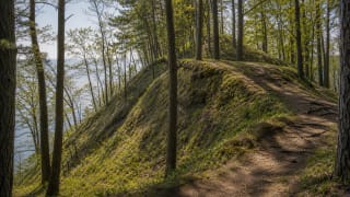
Kukuliškiai Hillfort is a Bronze Age hillfort with a settlement in Seaside Regional Park, discovered in 2016 and entered in the Cultural Heritage Register in…
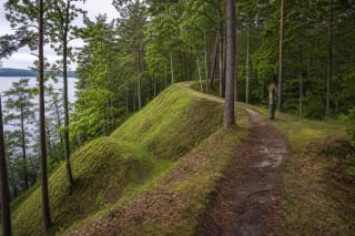
Kulionys Hillfort is a large wooded peninsula hill between Lakes Želvai and Trinktinis, dated from the 2nd-1st centuries BC to the 12th-14th centuries AD.
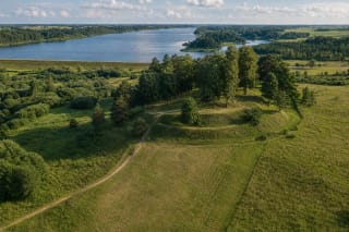
Kupiškis (Aukštupėnai) Hillfort is a large protected complex above the Lėvuo and Aukštupis valleys, not part of Kupiškis Reservoir or the Uošvės Liežuvis island…
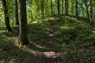
Lakinskai Hillfort is a substantial archaeological complex on the right bank of the Šešupė, yet it is almost invisible in the wider landscape.
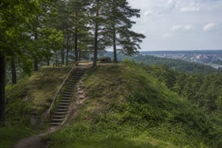
Lentainiai Hillfort, also known as Lantainiai, Kleboniškis, and Pekelka, stands in Radikiai above the Neris valley.
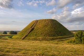
Lepelionys Hillfort near Stakliškės is known for its regular truncated quadrangular-pyramid form, which gave it the nickname Napoleon's Hat.
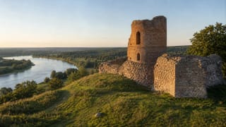
Liškiava Hillfort by the Nemunas combines an early settlement layer, a medieval defensive place, and remains of an unfinished brick castle tower, making it one…
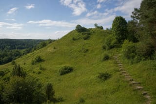
Liškiava Sacred Hill, known in Lithuanian as Liškiavos alkakalnis or Bažnyčios kalnas, is a separate steep-sided hill east of Liškiava Hillfort.
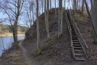
Lokėnėliai Hillfort, known as Žvalgakalnis, rises on a steep wooded slope as high as 30 metres beside the Lokys stream and reservoir.
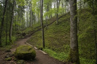
Lopaičiai Hillfort near Tverai is not only an archaeological monument but also one of Samogitia's legend-rich ethnomythological complexes.
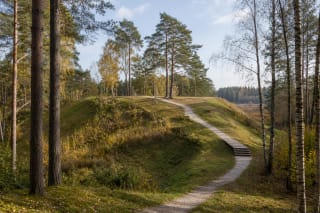
Luokavos Hillfort, also called Lokava Hill or Kerėžiai Hillfort, stands in the forest between Vėlaičiai and Kerėžiai villages at the highest point of a…
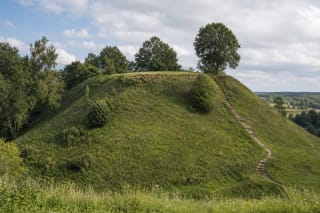
Maišiagala Hillfort, popularly called Bona's Castle, rises by the Dūkšta River in Vilnius district.
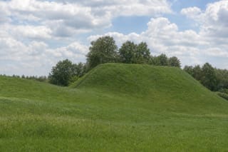
The Maisiejūnai Hillforts are two distinct archaeological sites in Kauno Marios Regional Park: the prominent Maisiejūnai I mound with an approximately 4 ha…
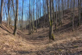
Maštaičiai Hillfort is not a single mound but an archaeological complex covering 85,277 square metres on the edge of the upland above the left bank of the…
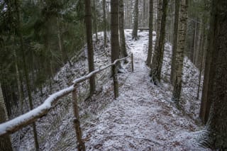
Matiešionys Hillfort is a small forest site with a clear defensive form: ramparts up to 2 m high surround a quadrangular 10 by 9 m summit, while two deep…
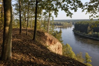
Mažieji Žinėnai Hillfort is a nationally significant archaeological monument on the right bank of the Neris beside the mouth of the Šlėna.
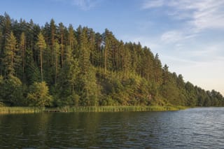
The pine-covered hill traditionally called Mėčiūnai Hillfort rises on the western shore of Lake Ančia in Gudiškės Forest.
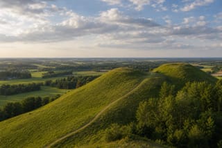
Medvėgalis Hillfort stands on the lower summit of Medvėgalis, called Pilies kalnas; the castle mentioned in 1316 belonged to the Samogitian defence system.
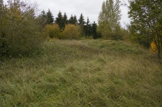
Menkupiai Hillfort occupies a highland spur on the left bank of the Menkupis, bounded by the stream to the south and southeast and by a broad wet hollow to the…
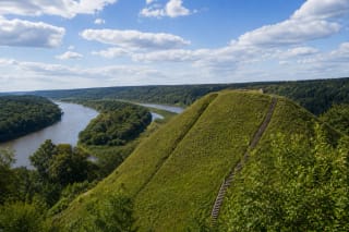
Merkinė Hillfort stands near the Nemunas and Merkys confluence on a steep-sided hill that in the fourteenth and fifteenth centuries held one of the important…
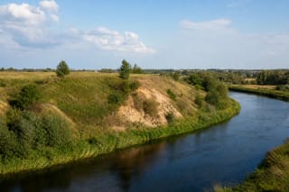
Meškučiai Hillfort on the southwestern edge of Marijampolė is not a symmetrical mound but the surviving portion of a riverbank fort largely eroded by the…
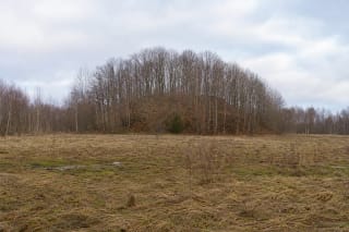
Mikniūnai Hillfort is a modest but clearly fortified wooded mound surrounded by marshy hollows.
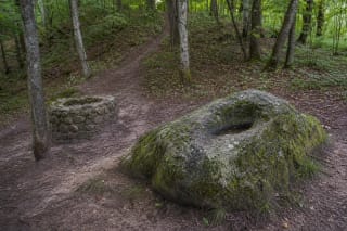
Mikytai Sacred Hill in Žemaitija National Park is an old sacred-site landscape: a forested hill, the site of an offering well, a mythological stone with a…
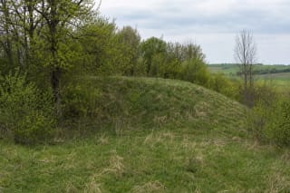
Misviečiai Hillfort is a small, scrub-fringed earthwork on a spur above the right bank of the Brideikis.
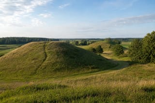
Molavėnai Hillforts form a two-hillfort landscape by the Šešuvis in Raseiniai District, dated broadly from the first millennium BC to the end of the second…
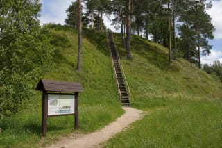
Moškėnai, also known as Laukupėnai, is a massive hillfort rising 20-30 metres above the left bank of the Laukupė.
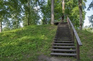
Mošos, Naujasodžių Hillfort with Settlement, locally known as Kazokų Hill, is a compact archaeological complex beside the Mošia Stream in Aukštadvaris Regional…
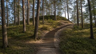
Naglis Hill in Palanga is a national-significance object in the Register of Cultural Property (Palanga Cemetery IV), a seaside dune about 7 m high with a…
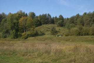
Naravai Hillfort is a small first-millennium earthwork on a promontory above the left bank of the Nemunas.
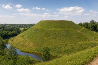
Narkūnai Hillfort near Utena is one of the important hillforts of Aukštaitija, also called Utenis Castle and associated with early fortifications, Nalšia…
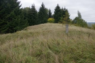
Naujienėlė Hillfort, also called Aukštakalnis and Kovakalnis, occupies the southern end of an upland spur in what the current register identifies as Margai…
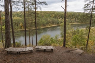
Naujoji Rėva Hillfort, also known as the Russian Church, is hidden among pines on a high terrace above the right bank of the Neris.
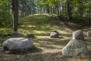
The Naujoji Vilnia burial mounds lie in Barsukynė Forest above the Vilnia valley, close to the Kučkuriškės dam.
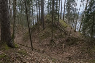
Nemunaitis Hillfort is a rare place where a modest wooded earthwork is linked to a relatively early and specific documentary record.
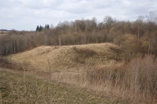
Noreikiškės II Hillfort is a broad, low, partly fallow upland promontory above the left bank of the Alšia in Noreikiškės village.
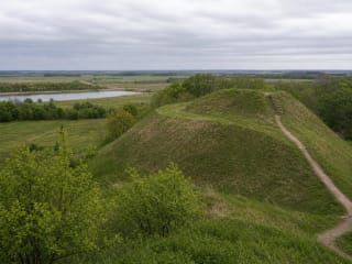
Opstainiai (Vilkyškiai) Hillfort is the largest and most striking hillfort in Rambynas Regional Park, in Pagėgiai Municipality, with steep slopes up to 20 m…
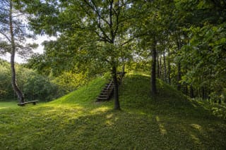
Paberžė Hillfort with Settlement stands in Šilai, on the left bank of the Beržanka stream.
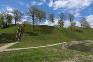
Padievaitis Hillfort near Kvėdarna is only the most visible element in a much larger archaeological complex.
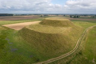
Padovinys Hillfort is an open, unmistakably two-tier hill rising among the fields of Sūduva.
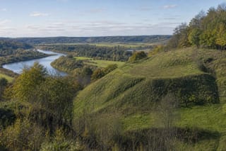
Padubysys Hillfort, also called Kaukuras and Kaimelė Hillfort, occupies a promontory on the upper terrace of the Dubysa's right bank.
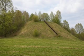
Pagaršvys Hillfort, also known locally as Pošventis Hillfort, rises from a field in the Nemunas valley like a remarkably regular truncated cone.
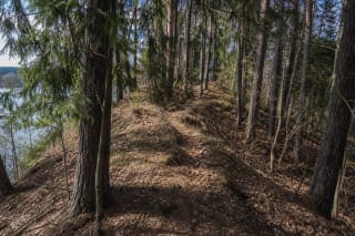
Pageluvis I Hillfort, also called Barsukynas Hillfort, occupies the highest part of a narrow glacial esker in the forests of the Pageluvis lake country.
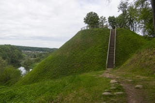
Pagramantis Hillfort rises more than 20 m above the Akmena and Gramančia valleys.
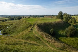
Pajevonys Hillfort in Vilkaviškis District, officially Kunigiškiai Hillfort, is one of the largest and best-fortified Sudovian hillforts, dated to the 2nd-13th…