- Place
- Babtai Rural Eldership, Kaunas District Municipality
- Region
- Kaunas Region
- Type
- hillfort with an associated settlement
- Address
- Piepaliai village, Babtai Rural Eldership, Kaunas District
- Coordinates
- 55.07411, 23.78384
- Visit duration
- 30-60 minutes
- Best time
- in dry weather from spring to autumn, when the slopes and valley landscape are easier to read
Piepaliai Hillfort, Babtynas Hillfort, Babcina Hillfort, Žemaitkiemis Hillfort
Piepaliai Hillfort and its names
The Cultural Heritage Register records the full property as Piepaliai (Babtynas) Hillfort with Settlement under unique code 40158. It stands in Piepaliai village, Babtai Rural Eldership, on a high terrace promontory above the right bank of the Nevėžis near the Asiūklis stream. The register dates the complex to the first millennium and the beginning of the second.
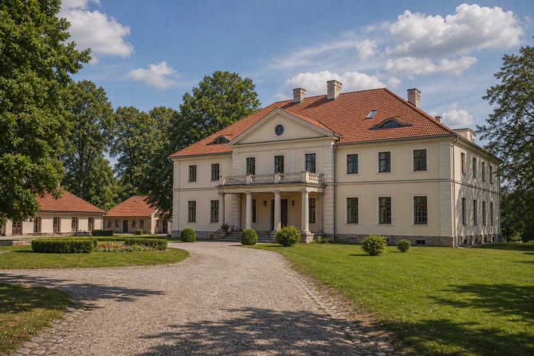
The hillfort is also known as Babtynas, Babcina, and Žemaitkiemis. These names refer to the same archaeological site. Babtynas-Žemaitkiemis Manor, however, is a separate later heritage ensemble nearby.
Triangular summit, rampart, and ditch
Piepaliai’s summit is described as triangular: about 17 metres long, with the north-western end about 24 metres wide. A rampart about three metres high and 18 metres wide was formed along the north-western edge, with an outer slope of about five metres.
Beyond the rampart, the archaeological description records a ditch up to about 30 metres wide and 1.5 metres deep. Natural slopes of roughly 15 metres protect the other sides. Look not only at the top while walking, but also at how the rampart separates the summit from the upland.
The associated settlement and traces of fire
An associated settlement of about two hectares is described east of the hillfort. It shows that the defended summit belonged to a larger inhabited complex. Archaeological research dates Piepaliai to the first millennium and the beginning of the second, although the site has not yet been fully investigated.
The rampart and its surroundings contain numerous fragments of burnt fine clay daub. They are associated with a fortification damaged by fire and allow a cautious discussion of conflict traces, but they do not identify one specific battle for visitors to reconstruct on the spot.
The Nevėžis valley, Babtynas, and local stories
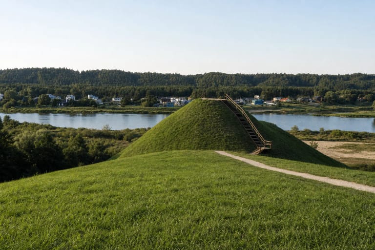
The hillfort looks across the Nevėžis valley, and the official Kaunas District description identifies the direction of Babtynas Manor. The view changes with trees, season, and weather, so the site is valuable not as a purpose-built terrace but as a high point for understanding the scale of the river landscape.
Local stories say that Swedes piled up the hill with their hats, and another legend connects it with the Napoleonic period. These stories are part of local memory. They should be kept distinct from the archaeological evidence for the summit, rampart, settlement, and burnt clay fragments.
Approach and careful visiting
Reach Piepaliai on the local roads around Babtai in the direction of Žemaitkiemis. The coordinate marks the hillfort, not a guaranteed car park, so respect road signs, private property, and residents’ access when approaching.
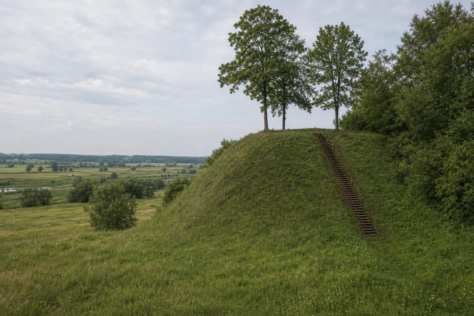
A long stairway leads up the slope, and the KVR description also records an information board on the property. Outdoor infrastructure changes over time and its condition should be judged on site. Erosion is described near the south-western summit and at the foot of the slope. Do not approach collapsing edges, climb the rampart from the side, dig, or collect finds.
The official descriptions list no separate ticket office or admission charge. Allow 30-60 minutes for the landform and valley, wear shoes with good grip, and reassess the steps and natural approach after rain.