- Place
- Daubariai, Tirkšliai Eldership, Mažeikiai District Municipality
- Region
- Mažeikiai District
- Type
- state-protected archaeological hillfort complex with ancient settlement
- Coordinates
- 56.28905, 22.30315
- Visit duration
- 45-90 minutes for both hillforts and the Viešetė valley
- Best time
- a dry spring or autumn day when the slope relief is easiest to see
First Daubariai Hillfort, Daubariai hillfort complex
The larger hillfort on the right bank
The Daubariai complex contains two hillforts and settlement areas on opposite sides of the Viešetė. Daubariai I is the larger mound on the right bank, with an elongated summit around 51 by 26 metres and slopes about 7-8.5 metres high.
The Roman numeral matters because Daubariai II stands nearby. Visit them as one valley system while remembering that their map points, register codes and summit dimensions are not interchangeable.
Life extended beyond the summit
Archaeology places use in the first millennium. Settlement areas spread around the mounds, so traces of daily life were not confined to the top. Handmade pottery, stone tools, iron slag and other objects document sustained activity.
The chronology is more complex than one neat date. Different areas had different phases and stream erosion reshaped the banks. The idea that the Viešetė split one original hill is best treated as an interpretation rather than a precisely proven geological event.
Excavations in 1975 and 1976
Vytautas Daugudis led systematic work in 1975 and 1976. A Mažeikiai summary lists 274 square metres excavated at Daubariai I, while the heritage-register document records the research bibliography and valuable features.
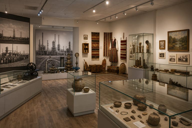
The finds are not normally visible on the mound. Read the relief, the relationship between both hills and the stream, then use the information panel or museum to understand what archaeologists discovered below the turf.
Stairs, bridge and fragile slopes
Stairs, walking paths, benches, an information panel and parking have been provided, with a timber bridge linking both banks. Timber and natural ground can become slippery after rain.
Use the managed route. Shortcuts scar the turf and archaeological layer. Never dig, use a metal detector or remove pottery, since an archaeological object loses much of its meaning when separated from its find context.