Taurapilis, Tauragnai eldership, Utena District Municipality
Aukštaitija
hillfort with a foot settlement and barrow cemetery
55.44812, 25.86962
1-1.5 hours
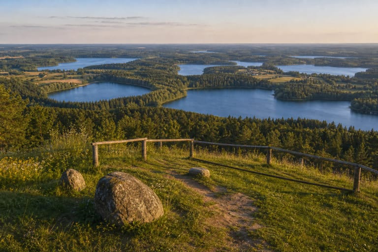
a clear day or evening, when the Lake Tauragnas landscape is easiest to see from the hill
Taurapilis Hillfort and barrow cemetery, site of Tauragnai Castle
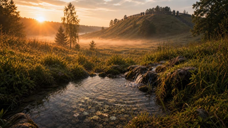
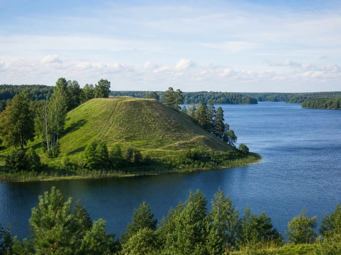
A Hillfort on the Shore of Tauragnas
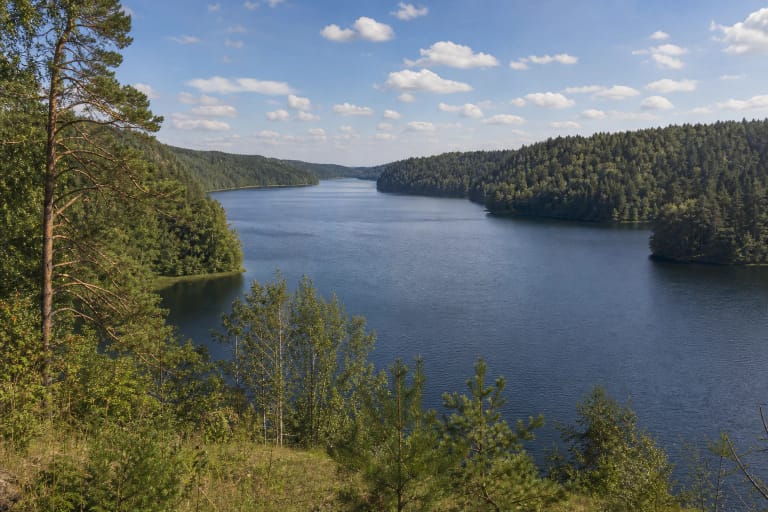
Protected-area sources describe Taurapilis clearly: it stands on the southern shore of Lake Tauragnas, also called Tauragnai, beside the village of the same name. Water protected the hillfort on three sides, while defensive structures once guarded the fourth.
Tauragnas is not just scenery. VLE identifies it as Lithuania's deepest lake, reaching 62.5 m. The lake belongs to Aukštaitija National Park, and its surroundings form the Tauragnas Landscape Reserve.
The Shape of the Hillfort
According to VLE, the slopes of Taurapilis Hillfort are steep and up to 14 m high. The platform is trapezoid, about 22 x 90 m. A 1 m high and 12 m wide rampart was built on the western edge, and a 0.4 m high and 6 m wide rampart on the eastern edge.
A ditch, 220 m long, 25 m wide, and 4 m deep, was dug along the western, southern, and eastern lower slopes. Visitors should therefore look beyond the lake view: water, slopes, ramparts, and ditch together formed the defensive system.
Tauragnai Castle
VLE connects the hillfort with Tauragnai Castle. The castle is mentioned in 1373 and was destroyed in 1433. The hillfort itself is dated more broadly, from the first millennium to the mid-fifteenth century, so its history is longer than the late-medieval castle episode alone. VLE states that Taurapilis Hillfort and the barrow cemetery have been a state-protected archaeological monument since 1998.
A foot settlement of about 4 ha was found beside the hillfort. Finds included a clay spindle whorl and fragments of pottery - modest, but important traces of everyday life next to a defensive centre.
The Barrow Cemetery and a Rich Burial
About 0.5 km southeast of the hillfort lies the Taurapilis barrow cemetery. VLE notes that it has been damaged; its mounds measure 5-11 m across and up to 1.5 m high.
In 1970-1971 an expedition of the Lithuanian Institute of History, led by A. Tautavičius, investigated part of the cemetery. The barrows yielded weapons, warrior and horse equipment, jewellery, and a drinking horn. One burial stands out as among the richest from the middle of the first millennium, with a double-edged sword, a silver-mounted drinking horn, spur fittings, and other grave goods.
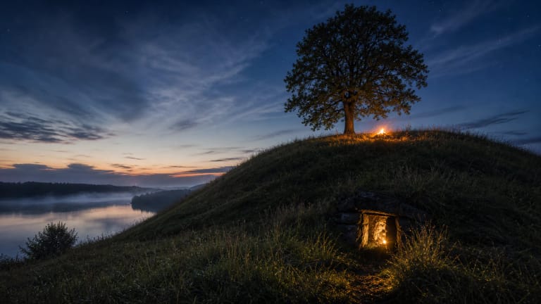
Legends About the Inside of the Hill
Saugoma.lt records a local legend: people said that a thick oak once grew on the summit, that a vaidila, a pagan priest, lived in its hollow, and that vaidilutės tended a sacred fire. This is not an archaeological fact, but it is an important memory layer that helps explain why the hill acts as a sacred place in local stories.
Another legend says that after the introduction of Christianity a church was built on top of the hill and later disappeared inside it. On St John's Night, people said, the hill opens for a moment and the underground church and its organ music can be seen and heard.