- Place
- Kalvarija eldership, Kalvarija Municipality
- Region
- Suvalkija
- Type
- a monument-status archaeological complex comprising Menkupiai Hillfort and its ancient settlement
- Address
- C4JG+XM, Ėgliabaliai, 69307 Kalvarija Municipality; the heritage register assigns the site to Menkupiai village
- Coordinates
- 54.43239, 23.12667
- Visit duration
- 45-90 minutes for the approach through the village-and-meadow landscape and for examining the foot, enclosure, rampart, and terraces
- Best time
- a dry day in early spring or late autumn, when tall grass and foliage obscure less of the rampart, terraces, and Menkupis slopes
Menkupių piliakalnis, Menkupiai Hillfort with Settlement
Heritage complex 22977 includes both the hillfort and an ancient settlement
Lithuania's Cultural Heritage Register protects Menkupiai as a monument-status archaeological complex of national significance. Code 22977 covers 33,533 square metres and comprises hillfort 5083 and ancient settlement 22978. A further 238,462 square metre visual protection zone surrounds the complex. The protected place is therefore not just the grassy summit: it also includes the slopes, the foot of the mound, and settlement deposits surviving below ground.
The current register states that the complex was registered on 8 August 1997. In that year's state list of immovable cultural properties it carried the former code A231KP. In November 2023, Kalvarija Municipal Council adopted a visitor-site list that includes Menkupiai Hillfort. Inclusion in that list does not by itself confirm a car park, trail, or other visitor facilities.
Sources assign the hillfort to different village names. The register says Menkupiai, while the municipality's 2023 list and the Google address say Ėgliabaliai. The exact Google Maps listing is nevertheless titled Menkupių piliakalnis, and its point at 54.432389, 23.126675 lies within the registered complex. It marks the site rather than a confirmed entrance or parking place.
On 15 July 2026, the exact listing displayed an average rating of 5.0. An earlier check on the same date showed two reviews, but a later limited public view no longer displayed the count. The average is therefore verified for that date, while a sample of two reviews is exceptionally small, liable to change quickly, and should be checked again before publication or travel.
A rampart, ditch, and slope terraces defended the 49 by 40 metre enclosure
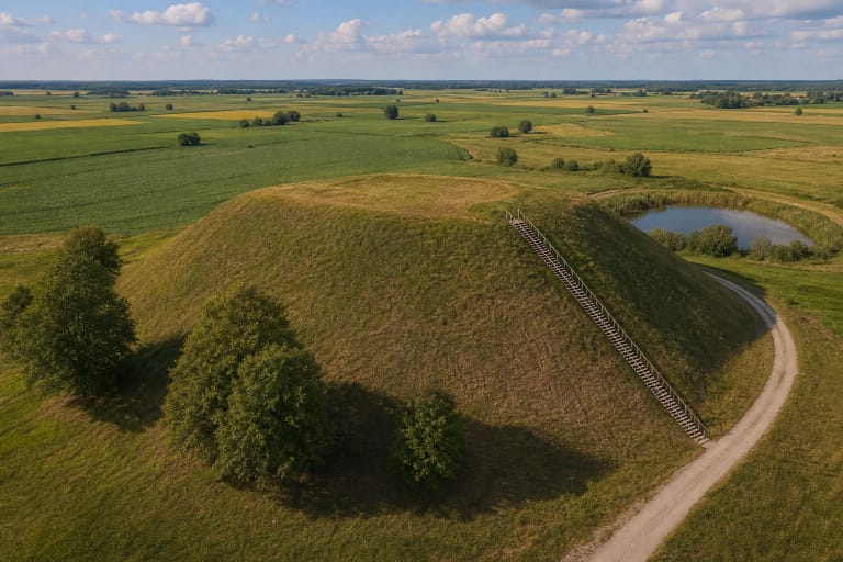
The hillfort occupies a highland spur on the left bank of the Menkupis. The stream bounds it to the south and southeast, a broad wet hollow lies to the east, and to the north and northwest the upland continues beyond a natural depression. Wet low ground and steep to moderately steep slopes rising up to 16 metres formed an important part of its natural defence.
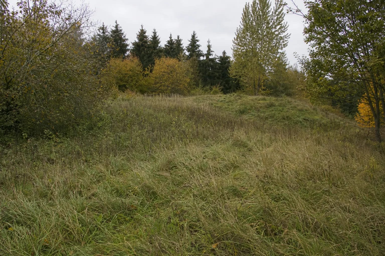
The slightly convex oval enclosure is aligned northwest to southeast and measures approximately 49 metres long by 40 metres wide. A curved surviving section of rampart on its northwestern edge is about 6-11 metres wide and 0.5-1.5 metres high when measured from the enclosure. The register says a rampart once bordered every side, but most of it has been destroyed. The surviving length is worn and pitted, and a former entrance is recorded at its eastern end.
A trace of an almost completely filled ditch remains outside the rampart. About 1 metre below the enclosure, the southeastern slope has a triangular terrace up to 7 metres wide; the eastern slope has a terrace up to 8 metres wide around 3 metres below the top; and north of the rampart lies another bench approximately 10 metres wide. These subtle forms are easy to mistake for natural irregularities, so examine the mound from several sides and do not climb directly up an eroding slope.
The 1954 survey recorded burnt material, while the settlement has its own heritage code
During reconnaissance by the Lithuanian Institute of History in 1954, stones and burnt material were observed in the hillfort rampart. The current register records a dark-earth cultural deposit in the enclosure containing clay daub and archaeological finds, but the public entry provides no comprehensive excavation report, building plans, or precisely dated destruction horizon. Burnt material therefore cannot be turned into a story about the destruction of a particular castle.
Ancient settlement 22978 extends north and northwest of the hillfort and across the southwestern end of a nearby lower rise. The register describes its cultural deposit as black, dark grey, or grey slightly sandy soil containing clay daub, burnt stones, and archaeological finds. In 1954, surface finds were collected north, northwest, and west of the mound.
The whole complex is dated broadly from the first millennium AD to the beginning of the second millennium. That span can contain more than one phase of settlement and fortification. Reliable sources give no name for a Menkupiai castle, no ruler, no battle known from written history, and no exact abandonment date. What visitors encounter is an archaeological landform rather than a documented medieval castle site with a reconstructed narrative.
Ploughing, pits, and erosion by the Menkupis reshaped the mound seen today
The register's condition record notes long-term damage to the enclosure, rampart, ditch, and slopes from ploughing and pit digging. The Menkupis eroded the southern and southeastern slopes, parts of which have slipped, while the southwestern foot remains connected to cultivated land. Today's dimensions describe the surviving earthwork rather than its original complete form.
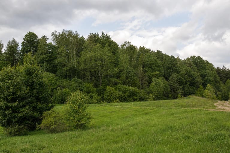
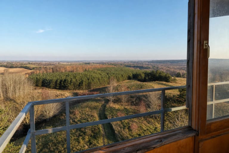
The rest of the complex is recorded as fallow, wooded, and scrub-covered. Register photographs show a broad enclosure in tall grass, a low earth rampart, dense deciduous growth, and a few more mature spruces. There are no masonry ruins, reconstructed timber defences, observation tower, or broad open panorama. Vegetation changes, so the visibility of earthworks can differ by season and year.
Both the ground surface and the cultural deposit below it are protected. Do not dig, use a metal detector, move stones, light a fire on the rampart, or widen a track across the slope. The value of this archaeological place lies precisely in its fragile layers and understated landforms.
The rumbling stone and doors in the slope belong to recorded folklore
The register's mythological-value description records two versions of Menkupiai folklore. One says there was a hole on the summit in which a dropped stone made a loud rumbling sound. Another tells of doors in the side of the hill.
These motifs are an important part of local memory, but they do not establish an underground room, tunnel, surviving gate, or visitor-accessible opening. The archaeological description records no such structure. If a depression is visible on the summit, it must not be interpreted as the legendary hole or explored, because the register also documents damage from later pits.
The final approach crosses a meadow landscape, and no official car park was found
The exact map listing marks the protected complex itself. An older public approach description suggests leaving road 200 between Kalvarija and Vištytis near the Jurgežeriai area, heading towards Menkupiai, crossing the Menkupis in the southern part of the village, and, after about 700 metres, taking a fork before walking the final roughly 250 metres across meadows. This is not a confirmed, permanently waymarked route, so road condition, vehicle access, and the pedestrian approach may have changed.
Authoritative sources identify no prepared car park, steps, interpretation trail, or step-free route. The southwestern foot has been cultivated, so never drive across fields or walk through crops. Park only where legal, do not obstruct homesteads, respect fences and prohibition signs, and ask permission or turn back if the only visible approach crosses enclosed or clearly private land.
The register and municipal documents list no ticket office, admission charge, gate, or official opening hours. Google labelled the place as open 24 hours when checked, but that is not a municipal access regime and grants no right to cross private property. Visit in daylight, check the latest official information before leaving, and allow 45-90 minutes for the approach and for reading the landform.
Tall grass, scrub, roots, a wet hollow, and slopes up to 16 metres can be slippery after rain. Wear closed, sturdy footwear, check for ticks after crossing grass, and use an existing trodden line only when it clearly leads to the hillfort. Safe summit access for wheelchairs or anyone who struggles on uneven ground has not been confirmed.