- Place
- Saločiai eldership, Pasvalys District Municipality
- Region
- Biržai Regional Park
- Type
- a hillfort with an ancient settlement in Tatula Landscape Reserve
- Address
- Ąžuolpamūšė, Saločiai eldership, Pasvalys District
- Coordinates
- 56.12338, 24.45957
- Visit duration
- 30-60 minutes; longer if combined with a Biržai Regional Park route
- Best time
- spring to autumn; assess the steep slope and gravel-road conditions carefully after rain
Dabužiai Hillfort, Ąžuolpamūšė Hillfort
A hillfort above the Tatula-Ūgė confluence
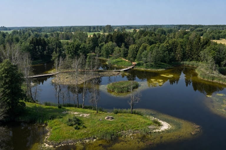
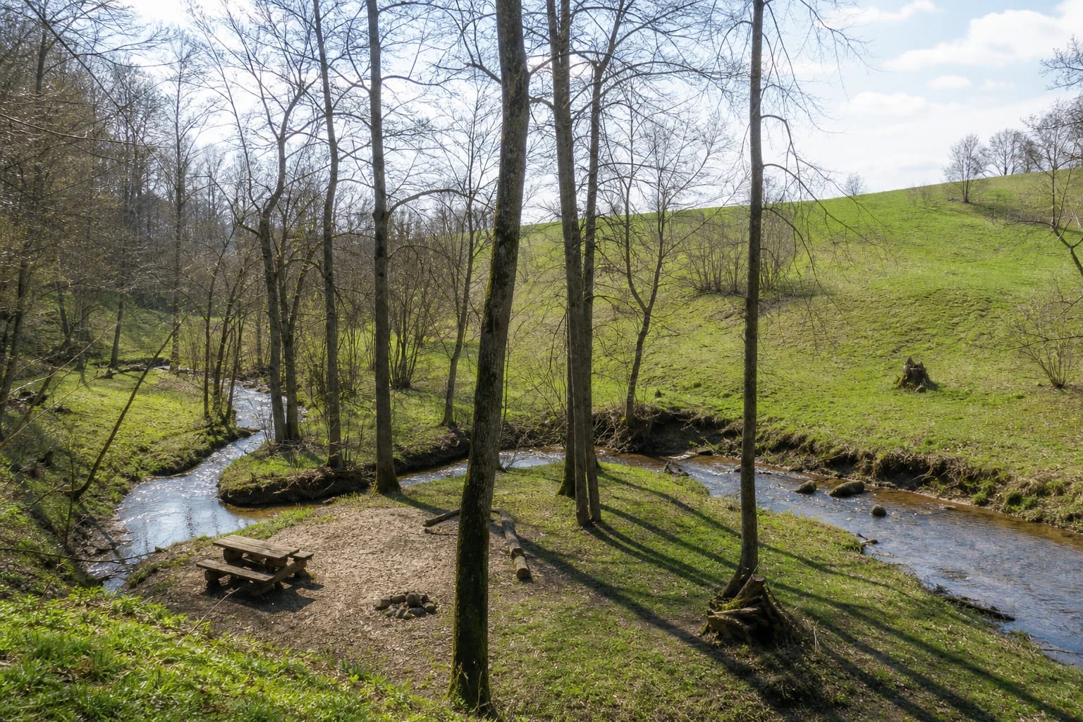
Ąžuolpamūšė Hillfort is near Ąžuolpamūšė village in Saločiai eldership, where the Tatula meets the Ūgė stream. It was built on high ground above the confluence, so its historical defensive role cannot be separated from the waterways and natural relief around it.
The site lies in Tatula Landscape Reserve and is associated with the northern Lithuanian karst and cultural landscape of Biržai Regional Park. The coordinate 56.123375, 24.4595738 on this page marks the hillfort itself, not the park centre or a general point for the surrounding area.
Ramparts, platform, and the foothill settlement
The Encyclopaedia of Lithuania describes the platform as elongated from east to west and about 60 by 36 metres. Two ramparts enclose its eastern side: the inner is about 45 metres long and 3.5 metres high, while the outer is about 50 metres long and 1.3 metres high. Saugoma.lt gives the steep slopes as about 7-10 metres high and the platform as approximately 50 metres across.
The Tatula washed away the western part of the platform, so the present relief is also a record of long-term erosion. A settlement east of the hillfort contained hand-built pottery with a rough surface.
A Semigallian castle and an archaeological timeline
The hillfort dates from the ninth to thirteenth centuries and has been a nationally significant archaeological monument since 1998. Research carried out in 2001 helped clarify the structure of the ramparts and settlement, while archaeological finds confirm that this was more than a natural hill.
The Encyclopaedia of Lithuania states that a Semigallian castle stood on Ąžuolpamūšė Hillfort at the beginning of the second millennium. That identifies the period and significance of the site but does not reconstruct the whole castle plan: today visitors see the earthwork, slopes, confluence, and woodland edge rather than wooden buildings.
What you will see on arrival
The strongest impression comes from the relationship between water and slope: a wooded confluence below, a more open green rise above it, and rampart lines best understood by reading the relief from different sides. Here archaeology appears in the landscape itself rather than in a separate building.
Saugoma.lt lists a gravel road at the site. Do not expect a visitor centre or permanent exhibition, so prepare for a short self-guided stop and follow the heritage and protected-area requirements in force when you arrive.
Visit in a way that protects the hillfort
The steep 7-10 metre slopes, riverbank, and western platform edge shaped by the Tatula show that this is a vulnerable archaeological landform. Do not climb rampart edges, dig, collect finds, or drive onto the hillfort. After rain or a spring thaw, slopes can be slippery and the gravel road can be harder to drive.
Ąžuolpamūšė Hillfort pairs well with the karst sites of Biržai Regional Park or a visit to Pasvalys. Such a route shows two layers of the region: the long history of a Semigallian defensive place and the living northern Lithuanian relief shaped by water and soluble underground strata.