- Place
- Piliūnai, Pilviškiai eldership, Vilkaviškis District Municipality
- Region
- Suvalkija
- Type
- archaeological complex of national significance comprising a hillfort and an ancient settlement
- Address
- Piliūnai village, Pilviškiai eldership, Vilkaviškis District Municipality
- Coordinates
- 54.70226, 23.25583
- Visit duration
- 30-60 minutes to examine the surviving enclosure, rampart, and Rausvė valley setting
- Best time
- a dry day in early spring or late autumn, when sparse foliage makes the low rampart and river-eroded edges easier to read
Piliūnų piliakalnis, Piliai, Piliūnai Hillfort and Settlement
Piliūnai and Piliai name one complex, but not Piliakalniai Hillfort
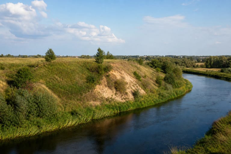
Piliūnai Hillfort stands in the western part of Piliūnai village in Pilviškiai eldership, on a spur of the Rausvė's left bank near its confluence with the Šešupė. VLE also records the short local name Piliai. The Register of Cultural Property calls the full complex Piliūnai Hillfort and Settlement and assigns it code 22993. It comprises the hillfort, code 3700, and the ancient settlement at its western foot, code 22994.
VLE identifies the site as a state-protected cultural property of national significance and says it was designated an archaeological monument in 1998. An account prepared by Vilkaviškis District Municipal Public Library specifies Government Resolution No. 612 of 19 May 1998. In the Cultural Heritage Department's 2021 monitoring table, both parts of the complex were listed as monuments, and neither their physical condition nor their surroundings was recorded as having changed at that assessment.
Do not confuse this site with the separately documented Piliakalniai Hillfort in the same district. Piliūnai, or Piliai, lies beside the Rausvė and Šešupė near Pilviškiai, whereas Piliakalniai Hillfort rises above the Aista near Bartninkai and carries a different register code, 22985. The similar Lithuanian names conceal two distinct landscapes, archaeological complexes, and travel directions.
The Rausvė removed three sides of the enclosure, leaving a 30-metre rampart to the west
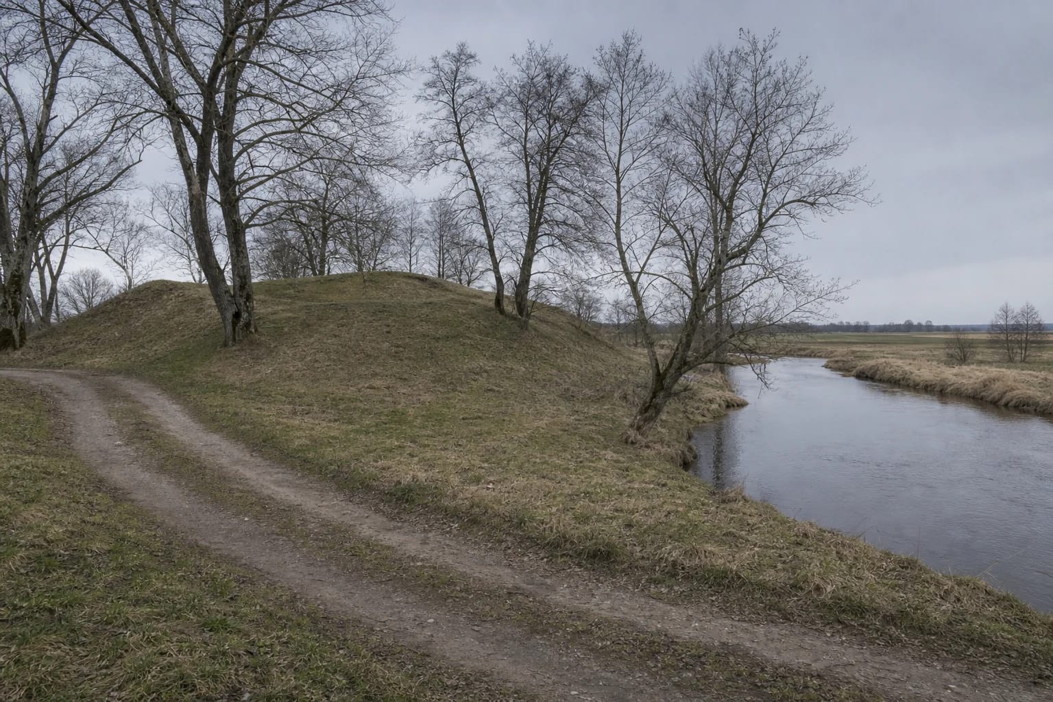
The hillfort occupies a low river spur rather than a high isolated hill. Its surviving enclosure is triangular, aligned east to west, approximately 11 metres long and 14 metres wide at the western end. A rampart along that edge is about 30 metres long, 22 metres wide, and up to two metres high. Its outer slope reaches roughly 2.5 metres, while the hillfort's natural slopes are only about four metres high.
These modest dimensions do not represent the hillfort's original extent. VLE and the 2004 archaeological fieldwork report agree that the enclosure was once larger but that the Rausvė washed away its eastern, southern, and northern sides. The report describes the western rampart as already spread and its outer slope as 2-2.5 metres high. The river supplied natural protection and simultaneously destroyed part of the archaeological relief.
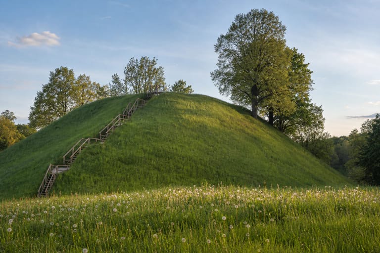
The official VLE photograph and images in the 2004 report show a low grass-covered rise, sparse deciduous trees, and a local road near its foot. The report mentions thinned black alders, not an open panoramic summit or the outline of a reconstructed castle. Visitors should look for the rise of the rampart, the remnant triangular enclosure, and the river-wrapped form of the spur, because this landscape is much subtler than the high hillforts above the Nemunas or in Dzūkija.
The settlement below and two different chronological assessments in the sources
An ancient settlement was identified in ploughed ground at the western foot of the hillfort. VLE reports that archaeologists from the Institute of History surveyed the hill and its foot in 1954 and found handmade pottery with smooth and faintly roughened surfaces in the settlement area. The 2004 report likewise mentions an occupation deposit and handmade pottery with smooth and roughened surfaces. The protected archaeological complex therefore extends beyond the visible rampart.
The sources present different chronologies. VLE dates Piliūnai Hillfort broadly to the first millennium and the beginning of the second millennium. The 2004 fieldwork report by Z. Baubonis, citing an earlier publication by Gintautas Zabiela, repeats the narrower range from the eleventh to the early fifteenth century. These are not two consecutive phases established by the same investigation and should not be fused into a single, supposedly precise date range.
The two 2004 test pits did not establish either chronology. One exposed rampart fill and isolated pieces of charcoal; the other produced no archaeologically valuable finds. VLE's broad date and the report's narrower assessment arise from different interpretations of earlier evidence. Unless a new, larger investigation is published, the honest approach is to present both assessments rather than promote either as unquestionably final.
A concrete plaque was removed in 2004, and two test pits answered narrowly defined questions
The 2004 fieldwork accompanied maintenance work and the selection of a position for an information panel. A concrete commemorative plaque then stood in the centre of the western rampart and, in the report author's assessment, impaired the view of the earthwork. After its removal, test pit 1, measuring 0.5 by 0.5 metres, was opened in its place. Beneath 10-20 centimetres of turf and grey topsoil lay a 40-50-centimetre layer of sand fill with isolated pieces of charcoal at its base; clay followed below, but sterile natural subsoil was not reached.
Test pit 2, measuring one by one metre, was excavated at the planned support for an information panel at the northwestern foot, near the road towards Pilviškiai. Beneath about 20 centimetres of turf and topsoil, archaeologists recorded 8-24 centimetres of grey sandy soil and 10-25 centimetres of brownish loam grading into clay. No occupation deposit or archaeologically valuable finds appeared at this point.
The negative result from the second pit does not mean that no settlement exists below the hill. It describes one square metre at the selected panel position, while the registered settlement extends westward in another part of the complex. Nor was the first pit a broad section through the rampart. These limited investigations matter because they document two maintenance locations precisely and distinguish observed evidence from speculation about the whole hill.
Three strands of folklore involve Lithuanians, Crusaders, and French soldiers
The 2004 report records three distinct strands of folklore about Piliūnai Hillfort. One says that Lithuanians heaped up the hill and watched approaching Crusaders from its summit. Another claims that the Crusaders themselves used the hillfort. Because these two versions contradict one another, they preserve a local memory of conflict with the Crusaders rather than identify a historically documented owner of the fortification.
A third tradition attributes the hill to French soldiers. VLE gives an expanded Napoleonic version: finding no dry place to sit in the wet ground, the soldiers supposedly carried earth and turf in their hands and hats until they had made a dry mound on which to rest and eat. This is a vivid origin legend, but the enclosure, rampart, occupation deposit, and pottery are archaeological evidence; the Napoleonic episode is not documented construction history.
A draft council act published by the Cultural Heritage Department in 2023 proposed adding a mythological classification to the complex's recorded heritage significance and revising its protection data. Because this wording appeared in a draft, this page does not treat it as proof that the proposal was finally adopted. The proposal nevertheless shows that the recorded traditions were being considered a meaningful layer of the site's cultural memory.
The map pin marks the hillfort; parking, steps, and official hours remain unconfirmed
The exact Google Maps listing for Piliūnų piliakalnis, place ID ChIJIZdKWk7T5kYRO-16OL6T0uo, marks 54.7022594, 23.2558334. The municipal library's account places the hillfort approximately three kilometres from Pilviškiai, beside the road to Piliūnai and near the bridge across the Rausvė. The 2004 report mentions an information-panel position at the northwestern foot beside the road, but that does not establish that the panel or its condition remained unchanged in 2026.
The official sources checked do not confirm a separate car park, installed steps, handrails, or a step-free route to the enclosure. They also publish no admission charge, ticket office, gate, or official opening schedule. Google showed 24-hour access on the verification date, but this is not an official guarantee of opening hours, lighting, maintenance, or safe night-time access. Visitors with impaired mobility should regard access to the top as unconfirmed and check current conditions separately before travelling.
Arrive in daylight and, if possible, in dry weather. Do not park on the bridge or block the local road, and follow the latest signs on site because no verified parking point was found. Part of the registered settlement at the western foot lies in ploughed land, so do not cross crops. Keep away from the eroded river edges, wear firm footwear, and do not cut shortcuts into the archaeological slope.
On 15 July 2026, the exact listing showed 4.8 out of 5 from 4 reviews. That exceeds the 4.5 threshold, but four opinions form a small sample and one new rating can change the average noticeably. Treat the score as a snapshot on the verification date, not as a stable measure of the site's infrastructure or accessibility.