- Place
- Elveriškė village, Lazdijai Eldership, Lazdijai District Municipality
- Region
- Dzūkija
- Type
- a nationally significant archaeological complex comprising a hillfort known as Eglynkalnis and a settlement at its foot
- Address
- Elveriškė village, Lazdijai Eldership, Lazdijai District Municipality
- Coordinates
- 54.29510, 23.42856
- Visit duration
- 30-60 minutes to read the mound, bank, terrace, and foot setting, excluding any walk from a legal place to leave a vehicle
- Best time
- a dry, bright day in spring or early autumn, when lower vegetation makes the bank and terrace easier to read
Eglynkalnis, Elveriškės piliakalnis, Elveriškė Hillfort with Settlement
The isolated Eglynkalnis mound rises among fields near Rudamina
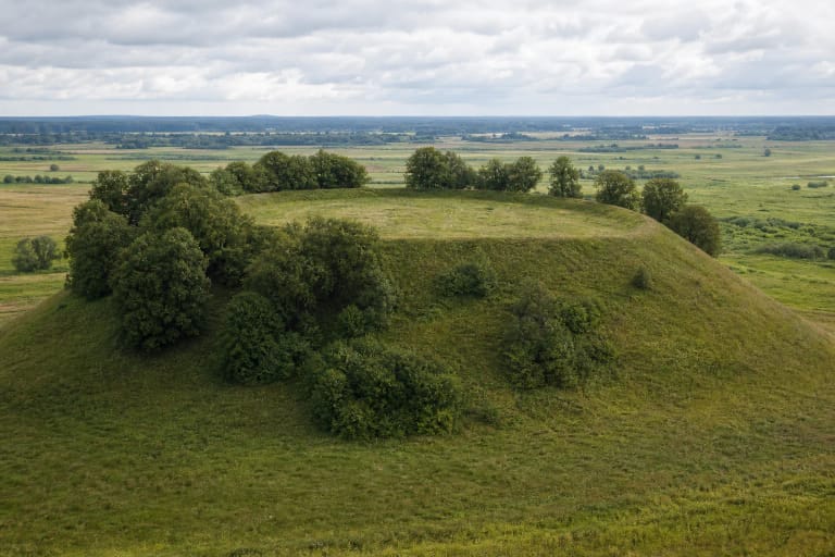
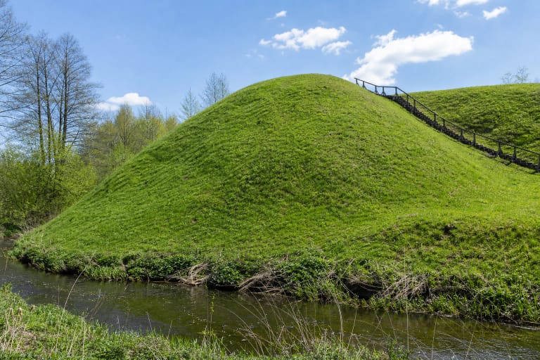
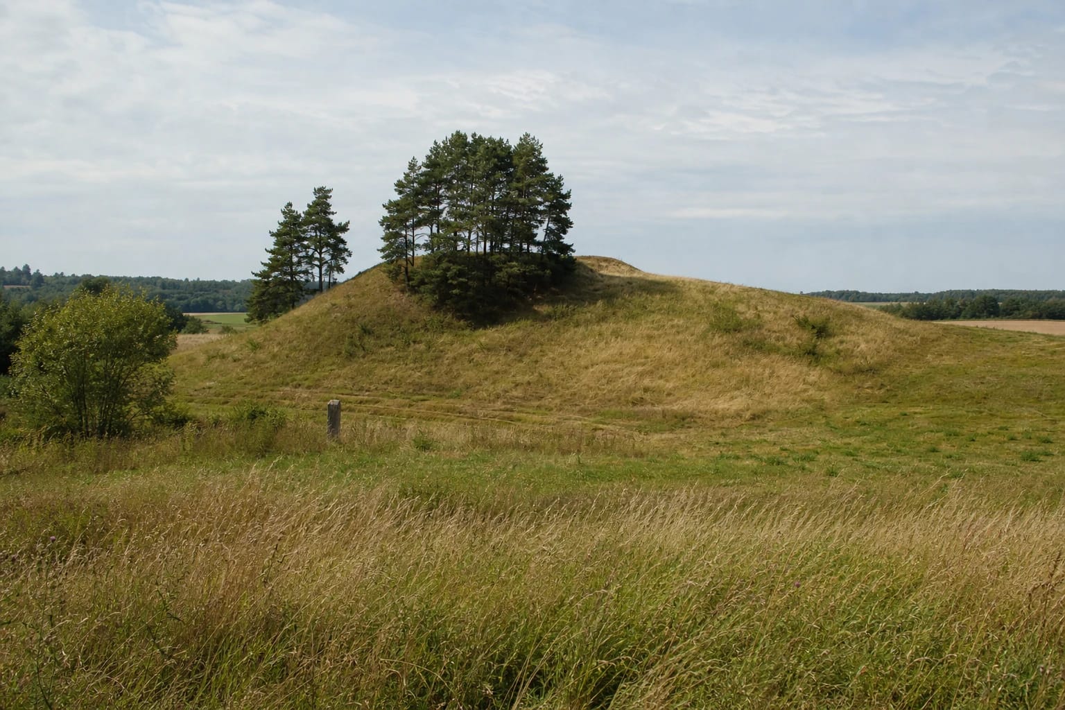
Elveriškė Hillfort occupies a detached mound surrounded by shallow hollows in the agricultural landscape of Lazdijai Eldership, near Rudamina. Cultural Heritage Register photographs from 2019 show an open grass-covered hill against a broad field horizon. A compact group of mature Scots pines grows on the south-western slope, with only a few more trees on the north-western side. There is no masonry, reconstructed timber castle, or outdoor display: the landform itself is the place to see.
The exact Google Maps place, ID ChIJM0zEmDXd4EYRL5FlzhQ1klI, marks 54.2951043, 23.4285599. This point falls inside the registered complex and lies approximately 19 metres from the register's hillfort-component point, so it reliably identifies the mound itself. It is not a verified entrance, car park, or officially recommended starting point for the ascent.
On 15 July 2026, the listing carried a 5.0/5 average from one review. It formally cleared the 4.5 selection threshold, but a single rating is an exceptionally small sample: the next review could move the average sharply. The score also says nothing about the condition of the local track, vegetation, or slope on the day of a visit.
The current register records a 16 by 10 metre summit, a low bank, and a terrace up to 13 metres wide
The hillfort component's updated 2019 record describes an oval summit aligned north to south and measuring about 16 by 10 metres. A levelled bank up to 15 metres wide encloses the whole edge. It rises approximately 1.5 metres above the summit on the east and 0.5-1 metre elsewhere. Because cultivation reduced its profile, the bank makes more sense when the crown is read around its full perimeter rather than by looking for one dramatic ridge.
On the north, east, and south, a terrace up to 13 metres wide lies about three metres below the bank. The register interprets it as the probable position of a ploughed-down outer bank and a filled or ploughed-in ditch. The north, west, and south slopes rise about 12 metres; the eastern slope is approximately five metres. This asymmetry explains why the mound appears distinct from some fields but merges into rolling ground from others.
The published measurements are not wholly consistent. An older summary for the complete complex gives a 16 by 9 metre summit and an eastern bank as much as 2.5 metres high and 16 metres wide, while some earlier popular accounts repeat a 30 by 20 metre summit. This page gives priority to the newer 2019 component record. The figures should not be blended into a false single measurement or attributed to erosion alone without evidence.
Register codes distinguish the complete complex, its hillfort, and the settlement at the foot
The Cultural Heritage Register protects Elveriškė Hillfort with Settlement as complex 22939. Its two components are the hillfort known as Eglynkalnis, code 5306, and the foot settlement, code 22940. These are not three visitor attractions. The numbers distinguish the whole protected place from two archaeological evidence sets and prevent finds from one component being silently assigned to the other.
The complex and both components have monument status and national significance. The registered object covers 26,780 square metres; a physical-impact protection subzone covers 9,741 square metres, and a visual-protection subzone covers 146,458 square metres. The older complex summary describes the foot settlement as approximately 0.5 hectares on the eastern and southern sides. That estimate should not be confused with the much larger registered area of the entire complex.
The settlement component protects a dark cultural deposit containing archaeological material. Surveys in 1954 and 1962 recorded handmade and wheel-thrown pottery together with fire-cracked stones. At ground level, the area looks like relatively even fallow or agricultural land rather than a visibly enclosed village. There is no fence or prominent earthwork marking its limit, so do not dig, use a metal detector, or collect objects from the surface.
The site was surveyed in 1954 and 1962, but the hillfort deposit has not been excavated
The register's bibliography includes Pranas Kulikauskas's reconnaissance expedition of 1954 and Vytautas Daugudis's survey trip of 1962. These visits recorded observations and finds; they were not broad excavations of the summit. Describing the hillfort as having been excavated in the 1950s or 1960s would therefore overstate the work.
The current hillfort-component record explicitly calls its cultural deposit unexcavated. Dark soil was observed on the summit in 1962, but earlier cultivation had already damaged the deposit, levelled the bank, and altered the profile of the terrace and ditch. What survives is an authentic archaeological surface, not an untouched version of the defensive earthwork.
Handmade and wheel-thrown pottery at the foot documents more than one ceramic tradition, while fire-cracked stones demonstrate human activity within the cultural deposit. Without excavation, these finds cannot establish a building plan, population, named fire, or particular battle. Elveriškė's importance lies not in an invented famous episode but in the surviving complex and its still-unexamined archaeological potential.
Eglynkalnis is a registered name, while the landscape stands on Dzūkija's Suvalkija edge
Eglynkalnis is formally recorded as another name for Elveriškė Hillfort. The name alone does not prove that a castle known from written sources stood here or that spruce forest always covered the crown. Pines are the most conspicuous trees in the current register photographs, and the official sources checked name no ruler, battle date, or securely associated local legend for this mound.
The register assigns the complex and both components a broad chronology spanning the first millennium and the beginning of the second millennium. This range summarises archaeological dating; it does not mean that one fortress operated continuously for a thousand years. A narrower occupation sequence, castle name, or account of its destruction would require evidence that the existing surveys do not provide.
The Ethnic Culture Council's approved 2023 map places Lazdijai Eldership and Elveriškė on the Dzūkija side. Kalvarija Municipality and the Suvalkija region begin nearby, however, and the council itself treats ethnographic boundaries as approximate zones with transitional margins. The accurate description is therefore a Dzūkija hillfort near the Suvalkija border, not a transfer into Suvalkija based solely on its open Trans-Nemunas farmland.
The map pin marks the archaeology, not verified parking or visitor infrastructure
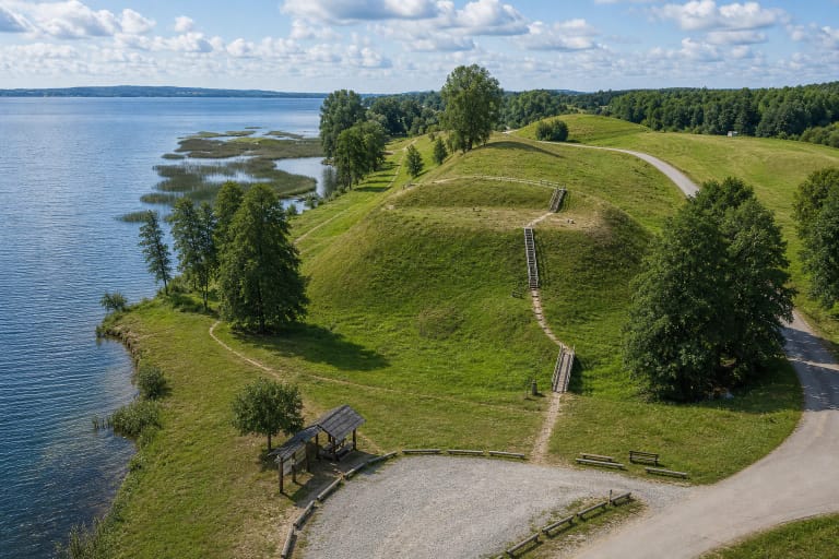
Register photographs from 2019 show a narrow local or field track at the foot and a faint walking trace on the slope. The official sources checked, however, publish no marked car park, confirmed entrance, steps, handrails, toilet, or visitor centre. Navigate to the exact place but leave a vehicle only where doing so is legal and safe, without blocking the narrow track or access to a homestead.
The register's visiting-hours and visitor-information fields are blank, and the other official sources checked publish no ticket office, admission charge, or gate schedule. This is an unstaffed outdoor monument, but missing information is not a guarantee of unrestricted access. Visit in daylight, obey current signs, and check for any local restrictions before travelling.
Fallow and actively used agricultural parcels extend around the protected foot settlement, so do not cross crops or private land simply because the map pin appears close. Grass slopes rising 5-12 metres can be slippery after rain, and no dependable step-free route is confirmed. Use only an obviously established track or path, do not cut new lines across the bank or terrace, and keep children close on the steeper sides.