- Place
- Žagarė, Joniškis District Municipality
- Region
- Joniškis District
- Type
- a Semigallian hillfort with a foothill settlement, chapel, and cemetery
- Address
- Raktuvės Street, Žagarė, Joniškis District, Lithuania
- Coordinates
- 56.35700, 23.24100
- Visit duration
- 30-60 minutes; longer for a quiet look at the chapel and cemetery surroundings
- Best time
- April to October; dry weather makes the climb easier, and visits to the cemetery and chapel call for respectful behaviour
Raktuvė Hill, Raktė Hillfort, Žagarė I Hillfort
Raktuvė Hill on Žagarė's western edge
Žagarė I Hillfort stands on the western edge of Žagarė, on the right bank of the Švėtė River, about 100 m from the riverbed. Saugoma.lt calls it Raktė or Raktuvė Hillfort. From town, approach along Raktuvės Street towards Minčaičiai; the exact map location is 56.357, 23.241.
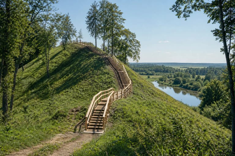
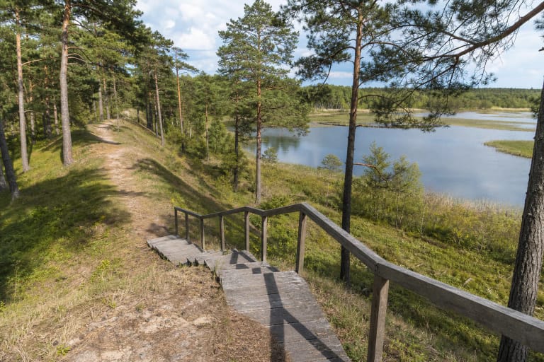
The most important navigation note is that Žagarė has two different hillforts. Raktuvė Hill is about 700 m east of Žvelgaitis Hill, while Žvelgaitis Hillfort occupies another stretch of the esker landscape. Do not automatically transfer one site's description, photograph, or stairs to the other.
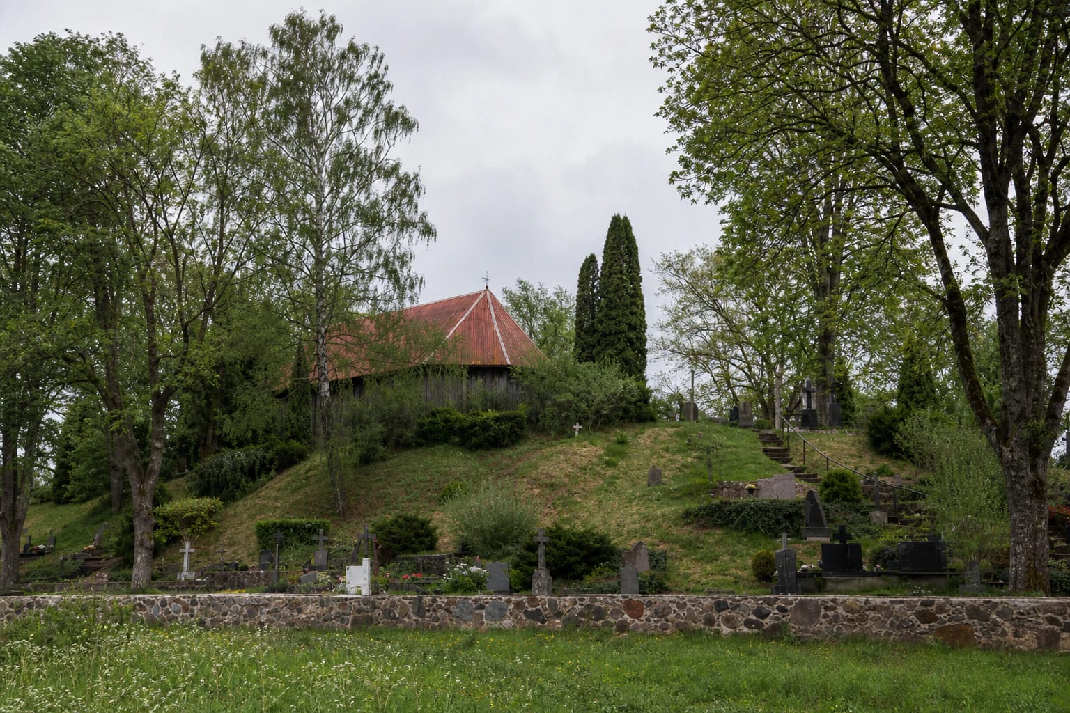
Raktuvė Hill brings together a river valley, archaeological relief, a chapel, and a cemetery. It is not simply a green mound to rush through: the summit should be treated as both a sacred and historic place.
The hillfort's form and foothill settlement
The platform is elongated, about 70 m long and 30 m wide, with the trace of a ditch on the western side. The steep slope and raised platform reveal the site's defensive purpose, although later cemetery and chapel use has strongly changed its present appearance.
A foothill settlement of about 5 ha surrounds the hillfort. Archaeological research revealed a cultural layer up to about 2 m thick, with remains of defensive structures, handmade pottery, animal bones, and various metal objects. These finds show the place as a lived-in and used landscape, not a one-time military earthwork.
In 1999, archaeologists excavated an area of 44.9 m². Visitors cannot see these layers, so do not collect stones, pottery fragments, or other objects from the slopes: an item in its original position can matter more than its appearance.
The history of Raktė Castle
The Semigallian castle of Raktė stood on Žagarė I Hillfort. Archaeological evidence shows that people lived here as early as the first millennium BC, while the history of the castle and settlement reaches into the Middle Ages. Raktuvė Hill is therefore an important point in the historic landscape of Semigallia.
Raktė is first mentioned in historical sources in 1272, when the Livonian Order attacked and burned the castle. Some researchers suggest that the place may have been mentioned as early as about 1198, but that earlier date should be understood as a scholarly hypothesis rather than an undisputed fact.
The historical story has not been recreated with new ramparts or a castle model. What remains for visitors is the real landform, the memory held in archaeological layers, and later sacred buildings. The site's strength is its layered landscape, not a decorative medieval reconstruction.
Raktuvė Chapel and Žagarė Cemetery
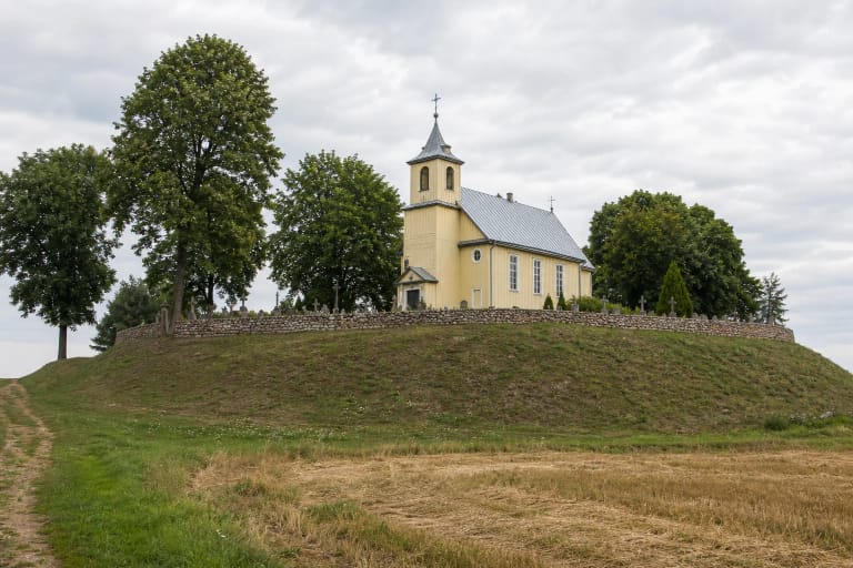
Raktuvė Chapel, a wooden folk-architecture building constructed in the seventeenth century, stands on the hillfort. The small wooden building gives the hill a distinctive silhouette and shows how the summit was adapted to a community purpose after its defensive period.
Žagarė's Catholic cemetery was opened on the hillfort platform in the eighteenth century. Graves, crosses, and trees are not decoration but a living memorial landscape. Stay on paths, do not disturb prayer or funerals, and do not touch gravestones or crosses when taking photographs or walking through the area.
The chapel and cemetery maintenance, the landform, and seasonal conditions can affect which parts are convenient to reach on a given day. If a gate, path, or information sign says otherwise, follow the local instruction rather than looking for a shorter route across the slope.
Practical visiting and a respectful route
Allow 30-60 minutes for Raktuvė Hill: enough time to look calmly at the hillfort outline, chapel, cemetery surroundings, and the Švėtė valley from the slope. Grass slopes may be slippery after rain, so wear shoes with good grip and avoid eroded sections.
Saugoma.lt provides the site's location, but the checked sources do not describe separate tickets, fixed opening hours, or a visitor centre for this outdoor site. Leave a car only lawfully and without blocking Raktuvės Street, cemetery access, or a local road; do not drive over grass or create an improvised approach.
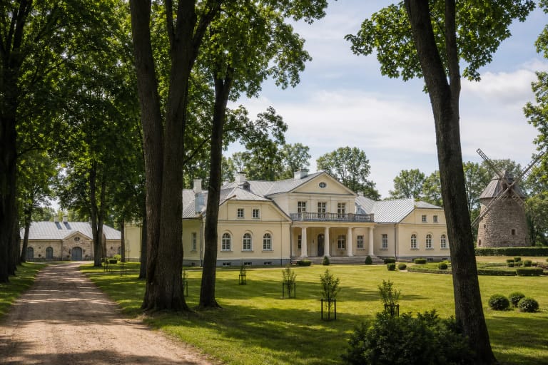
Extend the day's route to the separate Žvelgaitis Hillfort, Žagarė Esker Educational Trail, or Žagarė Manor Estate. This lets you see several layers of Žagarė's landscape while keeping each heritage site in its real location and historical context.