- Place
- Jonava District Municipality
- Region
- Aukštaitija
- Type
- wooded hillfort with an associated settlement
- Coordinates
- 55.09448, 24.32956
- Visit duration
- 45-90 minutes
- Best time
- in dry weather in spring or autumn, when the landform is easier to see through the trees
Žvalgakalnis
Žvalgakalnis beside the Lokys
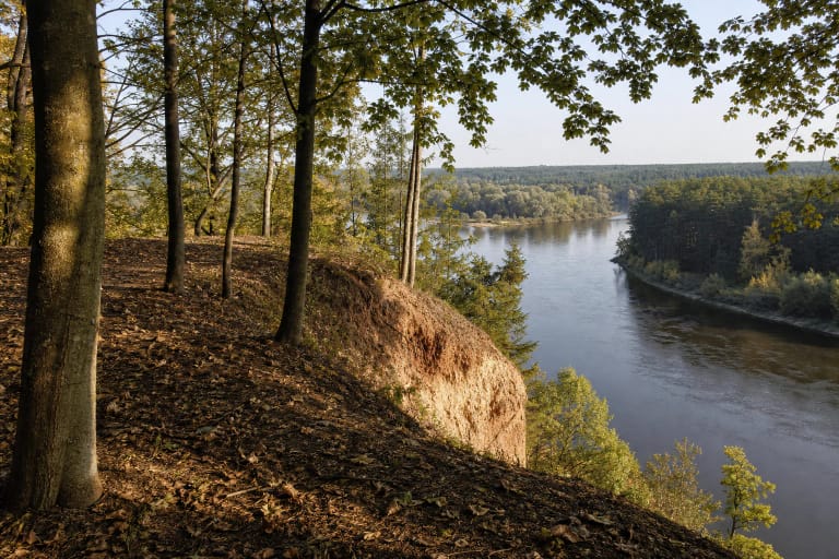
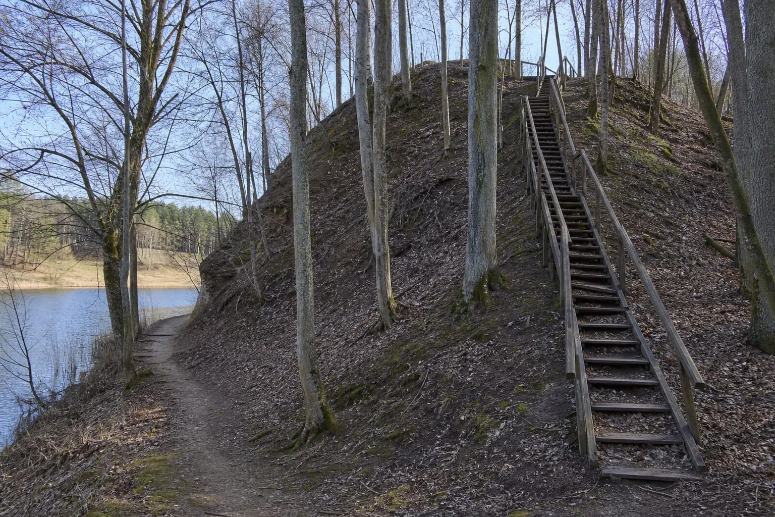
Lokėnėliai Hillfort occupies the left bank of the Lokys stream beside the present reservoir. Its wooded slopes are steep and reach up to 30 metres. Visit before the full spring canopy or in late autumn to read the relationship between rampart, slope, and shore more clearly.
The coordinate marks the archaeological site, not a car park. Approaching from the Jonava-Ukmergė road involves turning towards the reservoir and crossing the dam, but road and parking conditions must be judged locally. Do not obstruct access routes.
A hillfort reshaped by water
The entire former summit and part of the rampart had been washed away by the Lokys before the mid-twentieth century. The municipality says the platform once ran east-west; today a wooded remnant and a rampart flattened after excavations survive.
That loss does not diminish the site's meaning. Žvalgakalnis clearly shows that archaeological landscapes continue to change through erosion, water regimes, tree roots, and visitor paths. Do not cut directly up the steep slopes, as this accelerates damage.
From a 1st-2nd-century settlement to a medieval castle
Excavation showed occupation in the first and second centuries AD. Beneath the rampart archaeologists found a Brushed Pottery culture layer with a hearth and postholes. The ramparts are thought to have been strengthened several times, indicating more than one phase of use.
The municipal account says a strong wooden castle stood here in the fourteenth century during conflict with the Teutonic Order. An associated settlement of about five hectares lies at the south-west foot. Together with Gudžioniai Hillfort across the Lokys, it formed a larger complex.
The legend of a hill carried in Swedish caps
Local tradition says Swedes piled up the hill in their caps and that bones and decayed planks were found while ploughing nearby. This is folklore, not an archaeologically confirmed explanation of the hillfort's origin.
Documented evidence tells a different story: early occupation, Brushed Pottery, postholes, repeated rampart strengthening, and a medieval defensive complex. Preserve both layers while visiting, treating the legend as local memory and the excavated evidence as historical data.
Stairs, shoreline path, and current improvements
Between 2008 and 2010 landscape work covered two hectares. Two timber staircases, a gravel shoreline path, and a platform over the reservoir were installed. Outdoor timber ages, so assess its condition before using it.
In 2026 the municipality is implementing a larger project to improve access at Lokėnėliai, Gudžioniai, and Laukagaliai hillforts. Paths or zones may close temporarily. Check current municipal notices, follow signs, and stay outside fenced work areas.