- Place
- Nemunaitis village, Nemunaitis Eldership, Alytus District Municipality
- Region
- Dzūkija
- Type
- a registered archaeological complex of regional significance comprising a fourteenth-century hillfort and outer bailey on the right bank of the Nemunas
- Address
- Nemunaitis village, Nemunaitis Eldership, Alytus District Municipality
- Coordinates
- 54.30558, 24.03985
- Visit duration
- 45-90 minutes for the surviving enclosure, defensive ditch, and outer-bailey relief, excluding the time needed to identify clear lawful access
- Best time
- a dry day in early spring or late autumn, when reduced foliage reveals the ditch and Nemunas slope more clearly and the ground is less slippery
Nemunaičio piliakalnis, Nemunaičio piliakalnis su papiliu
The exact 5.0 listing marks the hillfort itself, not an entrance
The exact Google Maps listing for Nemunaitis Hillfort, place ID ChIJRY5ELwC74EYRbs6jChyNdek, marks 54.3055767, 24.039852. The point lies inside the registered heritage complex and less than 10 metres from the published archaeological-atlas coordinates for the main hillfort. It is therefore an appropriate marker for the site, but not a verified entrance, trailhead, or parking place.
A separate unrated generic historical-landmark pin appears roughly 40 metres to the northwest. Both markers fall within the same wooded section of the main hillfort landform. The outer bailey farther southeast is a separate component of the registered complex, so the second marker should not automatically be interpreted as its location.
On 15 July 2026, the exact tourist-attraction listing averaged 5.0 out of 5 from a single review. That clears the 4.5 selection threshold but represents the smallest possible sample: one new rating could change the average substantially. The listing provided no reliably verified official visiting schedule.
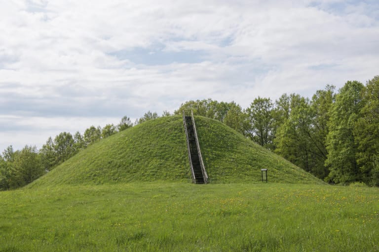
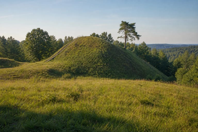
The registered complex combines an eroded hillfort with a separate outer bailey
Lithuania's Cultural Heritage Register records the complete Nemunaitis hillfort-and-outer-bailey complex under code 33484. It consists of main hillfort 33541 and outer bailey 33543. The 5.8899-hectare property was registered on 26 February 2010 with regional significance and registered legal status. It has not been declared state-protected, so those terms should not be used interchangeably.
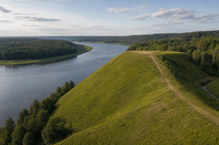
The register treats archaeological value as decisive, historical value as important, and landscape value as significant. The complex occupies the edge of the upland on the right bank of the Nemunas. Deep spring-fed gullies bound it on the east and west, while the river has continually eroded the relief from the southwest.
The register dates both components to the fourteenth century. That chronology aligns with the documentary history of Nemunaitis Castle, but the register identifies no separately confirmed foothill settlement, excavated castle structures, or assemblage of archaeological finds here. Results from other hillforts must not be transferred to this site.
Only a 12 by 5 metre fragment survives above slopes up to 50 metres high
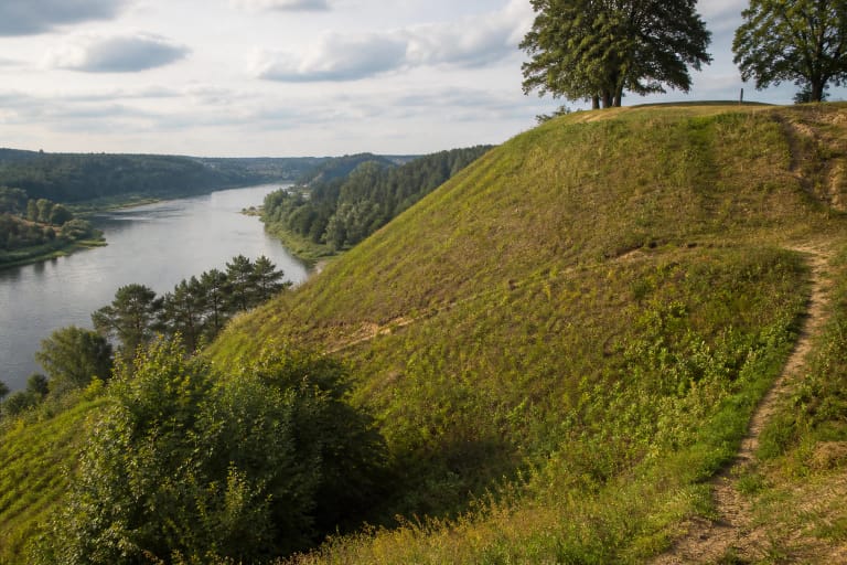
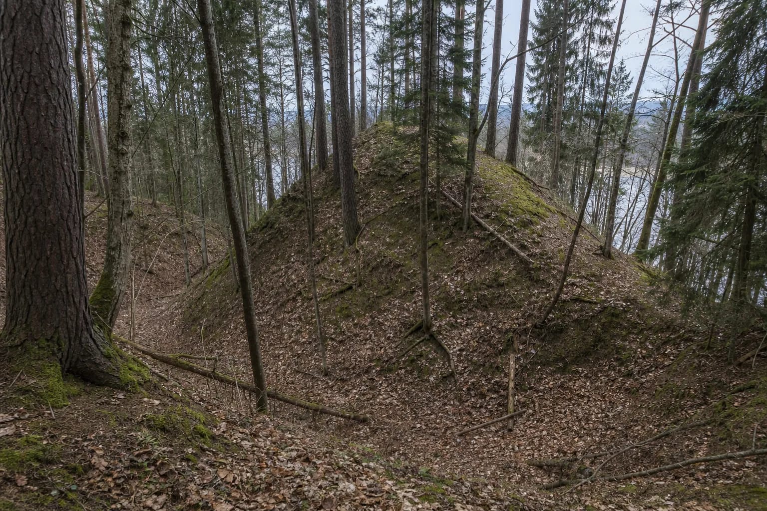
The Nemunas has washed away most of the main hillfort. Only the southeastern end of its enclosure survives, measuring about 12 metres from north to south and 5 metres across. This explains why visitors do not find a broad, level summit in the woods: the landform now reads more like a narrow remnant at the edge of the upland.
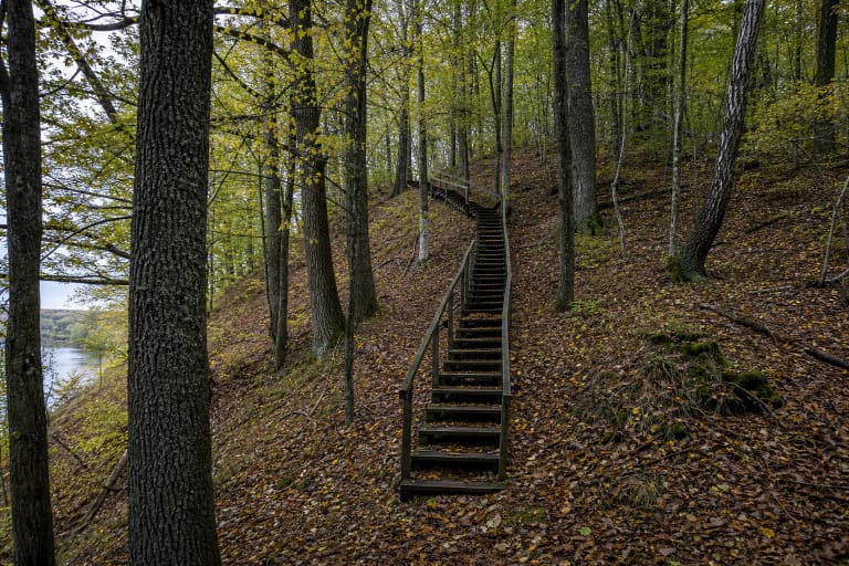
The slopes are steep, eroded, and reach as much as 50 metres in height. A terrace 2-4 metres wide runs about 4 metres below the southeastern enclosure slope. Trees and shrubs cover both the terrace and the enclosure, so summer foliage can obscure their edges and much of the view towards the Nemunas.
A formidable ditch separates the hillfort from the adjoining upland on the southeast. It is about 40 metres wide at the top, narrows to roughly 4 metres along the bottom, and reaches a depth of 12 metres. Parts have silted or slipped in, while leaves, branches, and fallen trunks can hide the edges. This ditch is the clearest surviving defensive feature, but its steep sides are not safe to descend.
An outer bailey of approximately 100 by 40 metres lies beyond the ditch
The outer bailey is neither a second hillfort nor a duplicate map pin. It is a separate component of the complex, registered as 33543. Its irregular trapezoidal enclosure extends from northwest to southeast for roughly 100 metres and is about 40 metres wide. The northern edge has slipped into a gully, and woodland covers the entire surface.
At the southeastern end, the register records a bank about 4 metres wide and up to 0.5 metres high, part of which has been flattened. The ditch beyond it is up to 20 metres wide and 1-2 metres deep, but it too is partly infilled. These forms are far subtler than the main deep ditch and can easily resemble natural undulations beneath dense vegetation.
The safest interpretation is functional but general: this was additional space beside the principal fortification. The checked evidence does not establish which buildings stood here, who occupied them, or the details of everyday activity within the bailey.
Texts from 1384-1387 document Nemunaitis Castle, not surviving castle fabric
Nemunaitis enters Teutonic route descriptions in 1384. Historian Tomas Baranauskas also publishes a winter-route entry dating from about 1385 that uses the phrase hus Nameneyten, referring to the castle or fortified house of Nemunaitis. The described direction from Kirsna through Nemunaitis and onward towards Perloja places it within a wider network of military movement.
Jogaila's privilege to Skirgaila of 28 April 1387 lists the fortifications and districts of Nemunaitis, Alytus, Punia, and Birštonas while describing the Duchy of Trakai and its bounds. This is firm documentary evidence that Nemunaitis was a named administrative and defensive point on the Nemunas by the late fourteenth century.
The Cultural Heritage Register, VLE, and modern scholarship localise the castle named in those records at the present hillfort. Even so, the river destroyed most of the hill, and the checked sources provide no surviving building, inscribed plaque, or find that names the castle directly. Calling this the site of fourteenth-century Nemunaitis Castle is a well-supported historical identification, but it should not become a story about a reconstructed or archaeologically complete fortress.
Access is not verified, and a future trail does not mean a route already exists
Older directions approach from the road between Užupiai and Nemunaitis, turning onto a barely visible forest track beyond a homestead and continuing for about 300 metres. They do not confirm a current formal entrance. Forest tracks, property boundaries, barriers, and surface conditions may have changed, so do not drive to the pin solely by navigation or cross closed and clearly private land.
In March 2026, Lithuania's public procurement portal advertised design and construction-supervision services for a Nemunaitis nature trail. A design contract demonstrates an intention to improve the route; it does not prove that a trail, stairs, handrails, or car park have already been built. Check the latest Alytus District Municipality information before travelling and follow the signs actually present on site.
The checked official sources publish no ticket office, admission fee, or regular opening hours. That absence does not grant unrestricted access at any time. Visit in daylight, leave vehicles only where doing so is legal and safe, remain on a clear existing path, and turn back if the approach is uncertain.
Eroded slopes up to 50 metres high, a ditch up to 12 metres deep, exposed roots, wet leaf litter, and fallen timber create genuine slipping and falling hazards. No official step-free route is confirmed, and dense woodland does not guarantee an open river panorama. Allow 45-90 minutes to read the terrain, wear sturdy footwear, and keep away from the steepest edge.