- Place
- Neringa Municipality
- Region
- Curonian Spit
- Type
- buried village site, dune, and cultural landscape
- Coordinates
- 55.38943, 21.06111
Karvaičiai Hill, Karvaičiai Dune, Karwaiten, Carwaiten, Krawaytten
A buried village site by Karvaičiai Bay
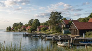
Karvaičiai Village Site and Dune is one of the key places on the Curonian Spit for understanding the history of villages buried by sand. Old Karvaičiai stood on the lagoon shore, by Karvaičiai Bay, between present-day Preila and Pervalka, and was the largest village of the northern spit's fishermen, who called themselves Curonians.
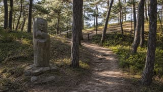
Curonian Spit National Park sources list Karvaičiai among vanished villages, while Karvaičiai Landscape Reserve (2,985 ha) protects not only the natural but also the cultural relief of this section. Today the place is marked not by buildings but by forest, the dune, and the directions of the lagoon.
1509 and 1797: a written mention and the final departure
Karvaičiai was first mentioned in 1509, in the Kuncai accounts book. In 1736 a Lithuanian school was founded here, in 1740 Karvaičiai became a parish centre, and in 1741 an Evangelical Lutheran church was built. From 1786 the residents fought ever harder against wind-blown sand that gradually buried the homesteads.
The last residents left Karvaičiai in 1797, when the sand of the great dune completely covered the village and church. By 1794 the parish centre had already been moved to Juodkrantė, where so-called New Karvaičiai rose at the southern end of the town with a newly built church.
The Karvaičiai dune and the pressure of sand
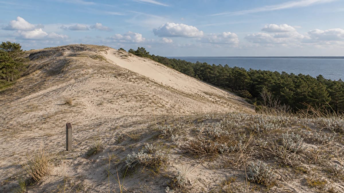
Karvaičiai Hill, or the Karvaičiai dune, is one of the forest-covered hills of the great dune ridge that reach about 60 m on the spit. In the same Karvaičiai reserve stands the highest dune on the whole Curonian Spit, Vecekrugas (67.2 m), as well as the Preila and Skirpstas dunes.
Neringa’s tourism centre connects the residents who left in 1797 with Juodkrantė, Nida and Nagliai. The lost village’s history therefore continues in other settlements; tracing an individual family’s relocation requires separate evidence.
The birthplace of Martynas Liudvikas Rėza
In 1776 Martynas Liudvikas Rėza (German: Ludwig Rhesa) was born in Karvaičiai - a professor at Königsberg University, editor of Bible translations, and a worker of Lithuanian letters. In 1818 he first published Kristijonas Donelaitis's Metai, and in 1825 the first collection of Lithuanian folk songs.
Rėza described the death of his native village in the poem "The Sunken Village" (Nugrimzdęs kaimas). Because of him the Karvaičiai site matters not only as the story of a village destroyed by nature, but as a point of Lithuanian literary and folklore memory - one reason to stop here deliberately, not only for the dune view.
Visiting the site
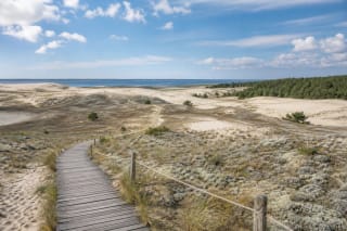
Karvaičiai is easy to connect with Preila walking routes and the direction of Pervalka. There is no separate ticket, but this is protected Curonian Spit National Park territory, so keep to paths and do not damage the slopes and dune ridge.
When visiting, imagine not ruins but a vanished landscape. The main point here is not to look for visible buildings, but to understand how moving sand changed a settlement and the fate of several generations.