- Place
- Buteliūnai village, Seirijai eldership, Lazdijai District Municipality
- Region
- Dzūkija
- Type
- a registered hillfort of regional significance on an isolated hill beside Lake Prapuntas
- Address
- Buteliūnai, Seirijai eldership, Lazdijai District Municipality
- Coordinates
- 54.19260, 23.68611
- Visit duration
- 30-45 minutes for the landform, summit, and view of Lake Prapuntas; allow longer only for a lawful walk along village roads
- Best time
- a dry day in spring or autumn, when shorter grass makes the hill's outline easier to read; mist can hide the lake and wet slopes become slippery
The exact listing marks a grassy hill between a village road and the Lake Prapuntas landscape
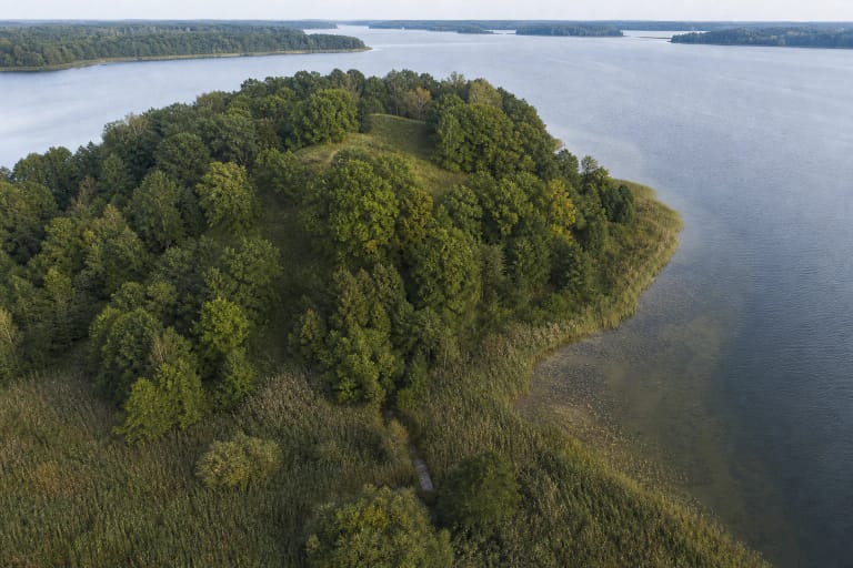
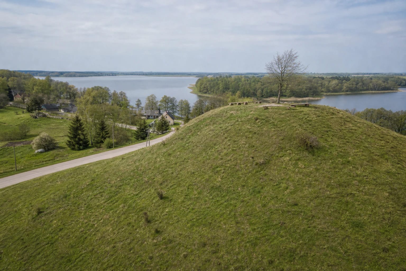
Buteliūnai Hillfort stands in Buteliūnai village on the south-eastern shore of Lake Prapuntas. KVR records the Paliūnai-Buteliūnai road along its north-western side and lower depressions around the other sides. The road lies between the mound and the lake, so the view from the summit reaches the water across village homes, trees, and a band of shoreline rather than from an untouched lakeside bluff.
The exact Google Maps listing, place ID ChIJhRl2lE2V4EYRd-WSQQoc-C8, marks 54.1925991, 23.6861079. This is a point on the protected hill, not a confirmed car park. On 15 July 2026, the listing averaged 4.7 out of 5 from 6 reviews. That exceeds the 4.5 selection threshold, but six ratings are a very small sample and the average can change quickly.
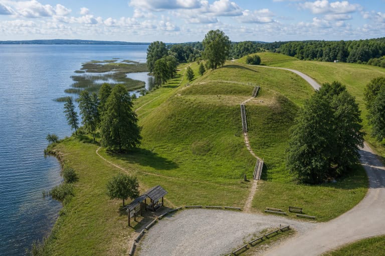
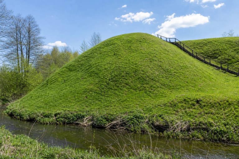
From the road, the hillfort appears as a distinct but simple grassy mound. There are no masonry ruins, reconstructed tower, or prominent rampart on the summit. The place rewards careful reading of its setting: the steepest slope facing the lake, the small oval top, the depressions around it, and the expanse of Prapuntas in the distance.
KVR's 2020 description identifies a 17 by 12 m summit and one higher slope
KVR describes the hillfort as an isolated hill. Its oval summit extends from south-west to north-east and measures about 17 m by 12 m. The centre rises by up to 0.5 m. This is a very small top, and its entire protected landform can be considered within a few minutes.
The north-western slope descending towards the lake and the road at its foot is steeper and, in KVR's 2020 description, about 15 m high. The other moderately steep slopes stand roughly 8 m high. The registered property covers 11,456 square metres. It has a regional level of significance, registered status, and unique code 5312; its earlier monument-list number is AR594.
The summit and most slopes were once ploughed and had reverted to grassland by 2020. KVR recorded a single tree, while newer public photographs show simple timber benches on top. These are modern landscape and visitor features, not archaeological defences. Their presence and condition should never be treated as a guaranteed facility.
The 1954 measurements and current register show how difficult it is to define plough-damaged relief
Pranas Kulikauskas measured the mound in June 1954, and Petras Tarasenka later published the description. The oval top was then estimated at roughly 25 by 20 m, covering about 400 square metres. The lakeside slope was considered 20 m high; on the other sides, a steeper upper section of 5-6 m was distinguished. The soil was described as clayey and gravelly, and no cultural layer was observed on the surface.
The current KVR record gives a smaller 17 by 12 m summit, a lakeside slope of about 15 m, and other slopes around 8 m high. These figures do not necessarily represent simple shrinkage, because different surveys may have drawn the summit and slope boundaries differently. Both descriptions do agree on the essential change, however: long cultivation severely disturbed the hillfort's surface.
Documentation continued with an archaeological-property passport in 1955, another passport in 1983, a field survey in 1989, and later register revisions. The current KVR entry gives 7 October 1992 as the registration date. KPD's 2021 monitoring summary marks both physical condition and environmental change as unchanged, but notes that the underlying municipal inspection dated from 2012. It is not an assurance about today's path or furniture.
The 2001 trench found no cultural layer, leaving the site's precise story unresolved
Archaeologist Eugenijus Ivanauskas examined 16 square metres on the hillfort in 2001. No cultural layer was found in the investigated area. KVR and earlier descriptions likewise report no pottery, metalwork, structural remains, or clearly excavated ramparts. One small trench cannot prove that nothing archaeological survives across the protected 11,456 square metres, but it cannot support a detailed reconstruction of a settlement or castle either.
KVR dates the property to the beginning of the first millennium. This should be understood as the register's chronological assessment, not as a construction date secured by a group of datable finds. The public sources checked provide no basis for assigning the site to a particular tribe, identifying a named castle, or connecting it with a battle. Even its inclusion in a route called the Yotvingians' Road does not establish such an attribution by itself.
That uncertainty is part of Buteliūnai's value. It demonstrates that the Lithuanian word for hillfort does not always imply a surviving fortress plan. The landscape position and registered relief are documented; the precise activity, type of defences, and basis for the date remain questions that require broader archaeological work.
Lake Prapuntas gives the hill scale and atmosphere, but does not date the archaeology
VLE describes Prapuntas as a 126.8 ha glacial tunnel-valley lake. It stretches about 2.4 km, reaches 1.3 km at its widest point, and has a maximum depth of 22.3 m. A long peninsula projects from the north and separates the north-eastern bay. The lake's bends and the wooded line of this peninsula form the most distinctive backdrop visible from the hillfort.
Buteliūnai village extends along the eastern shore, while the hillfort occupies its south-eastern edge. An older aerial photograph clearly shows the isolated mound among cultivated fields, a road, and homes, with the lake beyond. Its character is therefore better understood as an inhabited Dzūkija lake landscape than as an imagined fortress on a wild shore.
The orientation of the steepest slope towards the lake helps explain why researchers noticed this particular hill. A scenic position beside water does not by itself prove a harbour, trade route, watch post, or defensive role, however. Those interpretations require finds and excavated evidence that Buteliūnai still lacks.
A short visit depends on safe stopping, dry grass, and daylight
The hillfort stands immediately beside a local road, but the official sources checked identify no marked car park, toilet, steps, or visitor centre. The Google pin lies on the mound. Leave a vehicle only in a legal safe place, never block a homestead entrance, and do not stop where you obstruct traffic on the narrow road. Walk the final section.
The grassy slope can become slippery after rain, dew, frost, or snow. A visible footpath and timber seating can change, so assess current conditions on arrival. No reliable step-free universal route was found, and the uneven slope is unsuitable for independent wheelchair access. Keep away from the steepest north-western edge of the small summit, supervise children closely, and do not cycle down the protected slope.
Official sources publish no separate admission charge or gated schedule. Google displayed 24-hour access on 15 July 2026, but this is an unlit and unstaffed archaeological site. Visit during daylight, check current road and weather conditions before travelling, and never enter private yards or fields merely to obtain a better lake view.