- Place
- Šilalė District Municipality
- Region
- Žemaitija
- Type
- hillfort with surviving fragments of ramparts, ditches, and terraces
- Address
- Pilių village, Kaltinėnai Eldership, Šilalė District
- Coordinates
- 55.56699, 22.43360
- Visit duration
- 45 minutes-1.5 hours; longer when combined with Kaltinėnai and a Žemaitija hillfort route
- Best time
- a dry, bright day from late spring to autumn, when the landform is easier to read and the climb is more comfortable
Pilių Hillfort, Pilės, Kepaluškalnis, Kaltinėnai Hillfort
Pilių, Pilės, Kaltinėnai, and Kepaluškalnis
This state-protected archaeological site stands in Pilių village, Kaltinėnai Eldership. Its full Cultural Heritage Register name is the Pilių and Kaltinėnai hillfort known as Kepaluškalnis, unique code 3313. Visuotinė lietuvių enciklopedija also uses the name Pilių Hillfort and places it northwest of Kaltinėnai.
The Lithuanian hillfort research database calls the site Pilės and lists Kaltinėnai and Kepaluškalnis as alternative names. Pilių, Pilės, Kaltinėnai Hillfort, and Kepaluškalnis therefore all refer to the same mound, while the official village address is Pilių.
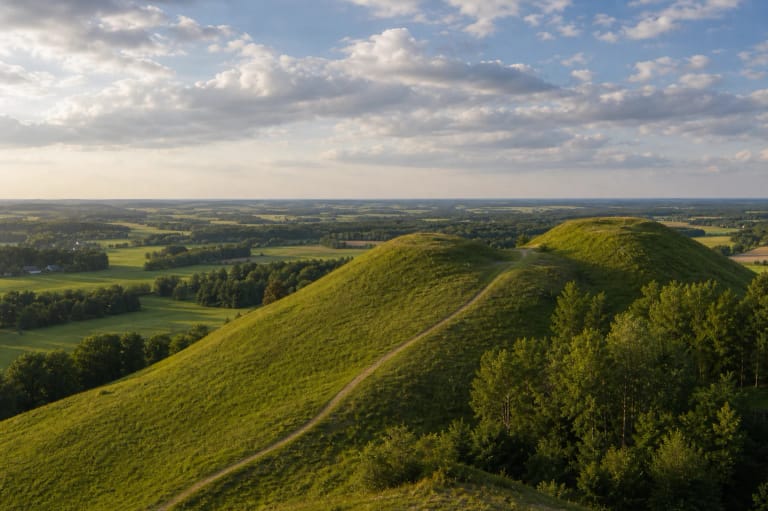
The hillfort occupies a highland edge on a spur shaped by two ravines. Its isolated form and southern slope are easiest to grasp from the foot, while the summit opens across the rolling countryside around Kaltinėnai.
An almost circular summit and steep slopes
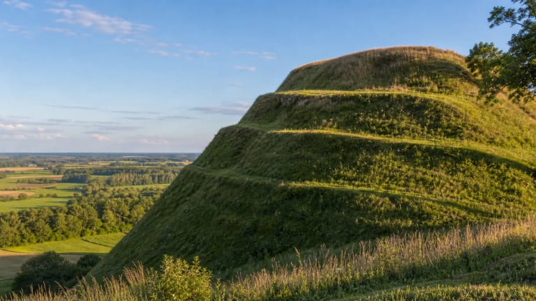
The summit is almost circular and slightly elongated north to south, measuring about 48 by 45 metres. Its southern and western edges lie around three metres below the centre. On the northern edge, the rampart reaches 1.5 metres in height and 13 metres in width; on the other sides, it survives as a terrace about four metres wide.
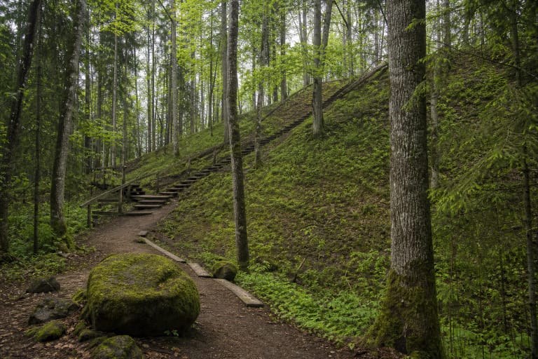
The steep slopes rise as much as 20 metres. This is not a reconstructed castle, so the important features are the mound itself, the summit edges, terraces, and uneven earthworks. They make more sense after walking around the hillfort than after simply reaching the top.
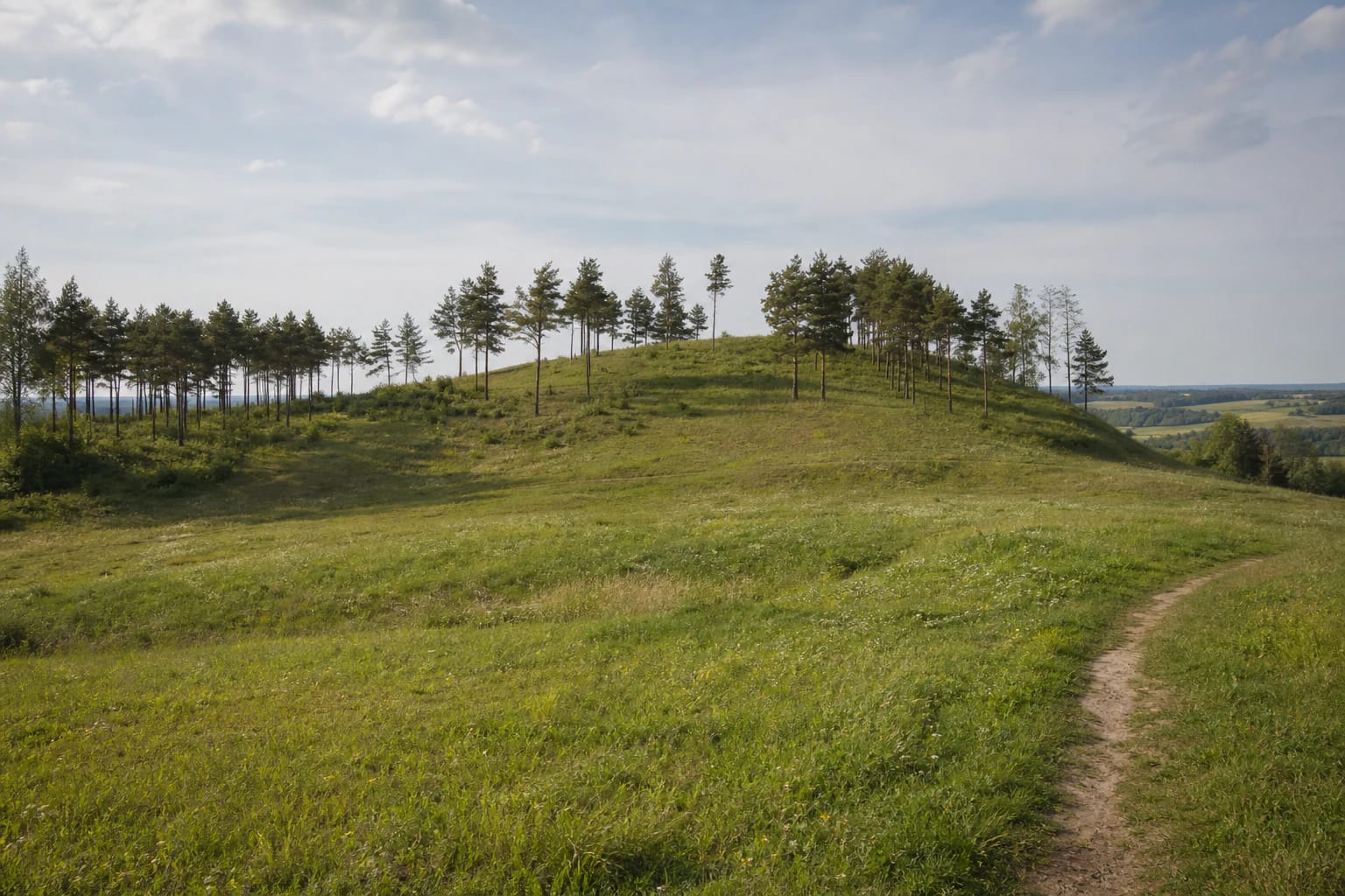
Ploughing has heavily damaged the site, flattening some ramparts and filling ditches. The research description records that the scattered pines on the slopes were planted in 1960, so today's open meadow-and-pine landscape also reflects later management.
Five defensive lines and a carefully told history
Five ramparts and five ditches defended the summit from the north; the first three lines also continued along the eastern and western slopes. The measured ditches ranged from three to seven metres in width, and ramparts reached up to 1.5 metres in height. Part of another ditch-and-rampart line survives in the southwest, while three additional ramparts once crossed the eastern slope.
Spurs, stone projectiles, and other finds are reported from the summit. In 1990, archaeologist J. Genys excavated 8.5 square metres but found no cultural layer. The profusion of fortifications supports a date at the beginning of the second millennium, yet the small excavated area does not justify a detailed reconstruction of the castle that once stood here.
A Šilalė District Municipality guide records a hypothesis by some historians that the castle of Pilėnai, burned in 1336, may have stood here. Pilių is one proposed location, not an archaeologically proven identification. The same guide records four legends about witches, a lord's lost hat, logs used to defend the castle, and a buried iron chest of gold coins; these belong to local folklore rather than established history.
Approach from Kaltinėnai
The research description gives this landmark: follow the Kaltinėnai-Laukuva road for about 1.2 kilometres from Kaltinėnai, then look for the hillfort roughly 100 metres to the right, north of the road. The map pin marks the site itself, but current signs and the real condition of the final approach take precedence.
Around 2002, a stone-paved road was laid across the northern fortifications toward the summit. The research record also describes an asphalt approach along the eastern foot and a return around the western side. Because those works themselves damaged part of the archaeological landform, drive only where access is clearly permitted today.
The historic description places parking in the area of the fifth ditch, but that does not guarantee that current parking arrangements are unchanged. Keep vehicles off ramparts and grassy slopes, do not block the local road, and leave the car in a safe, permitted place if signage is unclear.
An open archaeological site to protect
The hillfort is an open-air archaeological site without a normal ticket office or museum schedule. Its value is in the surviving mound and readable earthworks, so even a short visit deserves a slow circuit of the summit and defences. Check official municipality channels if you are coming for an event or a special visit.
The slopes are steep, and grass can be slippery after rain or in autumn. Use safe existing approaches, do not climb the edges of ramparts, dig into the soil, or search for finds with a metal detector. The archaeological layer is not a visitor souvenir.
Pilių Hillfort can be combined with Kaltinėnai Spirituality Park, Medvėgalis, or Bilioniai Hillfort. Weather matters on the exposed mound: a dry day makes the earthworks easier to read and the footing more comfortable, while strong wind, wet grass, or snow calls for extra care.