- Place
- Einoronys, Pivašiūnai eldership, Alytus District Municipality
- Region
- Dzūkija
- Type
- a nationally significant, state-protected individual hillfort within Pivašiūnai Geomorphological Reserve
- Address
- Einoronys village, Pivašiūnai eldership, Alytus District
- Coordinates
- 54.44495, 24.39073
- Visit duration
- 45-75 minutes for the approach, views of the mound from its foot, the plateau, terrace, and former triangulation-tower footprint
- Best time
- a dry day in early spring or late autumn, when low vegetation makes the hill, terrace, and surrounding hollows easier to read
Einoronių piliakalnis, Pilies kalnas, Castle Hill, Zamkova gura
The mound called Castle Hill is an early, state-protected hillfort
Lithuania's Cultural Heritage Register lists Einoronys Hillfort as code 1857 and records Pilies kalnas, literally Castle Hill, as an alternative name. It is a nationally significant, state-protected individual site, and its present registered area covers 46,741 square metres. Its administrative address is Einoronys village in Pivašiūnai eldership, Alytus District.
The name Castle Hill identifies the place but does not by itself prove that a masonry castle, or even a castle known from written history, stood here. The public register and the municipality culture centre provide no construction date, named ruler, battle, or local legend. The responsible way to understand Einoronys is through its surviving landform and archaeological evidence, not an invented medieval narrative.
The dedicated Google Maps listing titled Einoronių piliakalnis marks 54.4449536, 24.3907257. The point lies within the registered heritage area, but it is a site point rather than a confirmed entrance or car park. On 15 July 2026, the listing averaged 5.0 out of 5 from 14 reviews. That clears the required 4.5 threshold, although both the small-sample average and review count can change quickly.
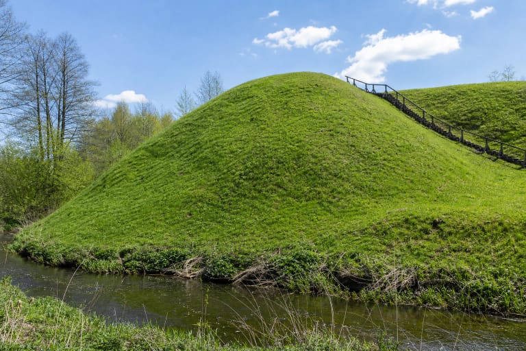
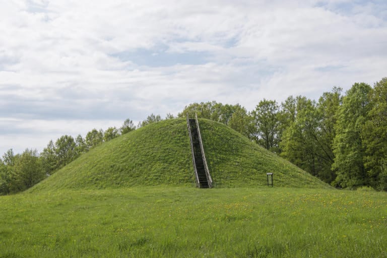
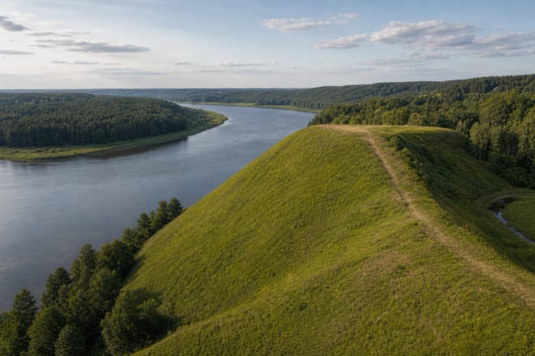
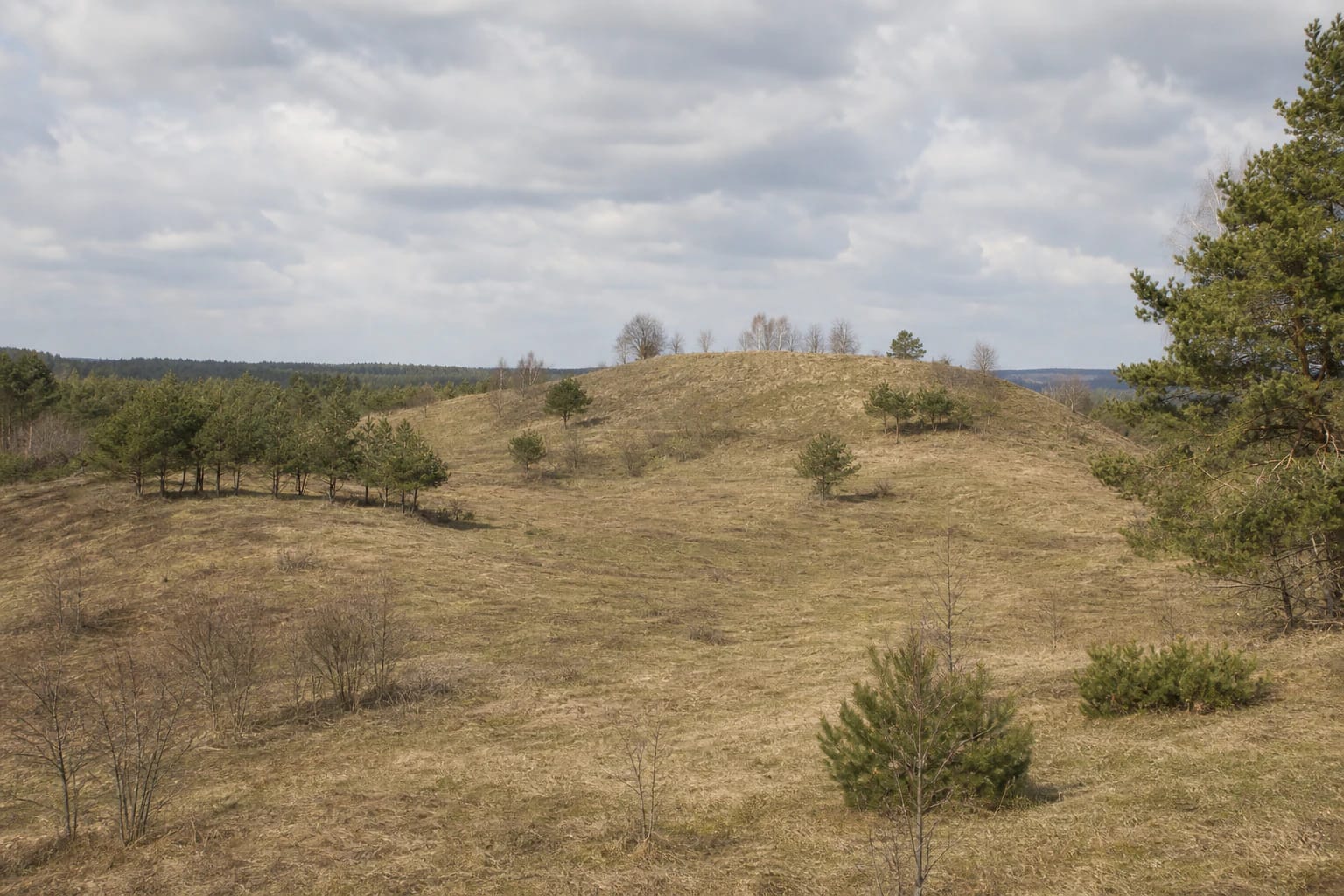
A 70 by 30 metre plateau and 30 by 25 metre terrace occupy a massive moraine hill
The hillfort was established on a separate mound that dominates its rolling surroundings. Its oval plateau runs southeast to northwest for about 70 metres and measures roughly 30 metres across. The northwestern section and the centre stand about 2 metres higher, so the top is not one perfectly level surface.
An approximately triangular terrace measuring 30 by 25 metres survives on the northwestern slope, about 4 metres below the plateau. Most of the mound's slopes rise 15-20 metres, but the northwestern side is considerably gentler at only about 4-5 metres. For a visitor, this contrast in height is the key to reading the hillfort on the ground; imaginary walls are not.
The entire mound lies in the 447-hectare Pivašiūnai Geomorphological Reserve, established in 1992 to protect a distinctive moraine massif in the Dzūkai Upland. The open hollows, rolling hills, and distant pine woods surrounding the hillfort belong to an Ice Age landscape. Human use shaped the plateau and terrace within this natural moraine landform, and the two should not be confused.
The 2001 excavation revealed a charcoal-bearing deposit, striated pottery, and flint artefacts
Archaeologist Eugenijus Ivanauskas excavated 8 square metres at Einoronys in 2001. The register summary reports a cultural deposit more than 60 centimetres thick together with striated pottery and flint artefacts. Its formal 2021 description characterises that deposit as brownish loam containing charcoal patches and archaeological material.
The fuller register entry also defines the limit of the excavation: an undisturbed cultural horizon was reached 20-60 centimetres below the surface but was not investigated farther down. These two statements allow for a deposit deeper than the tested portion, yet they do not justify claiming that its base or uniform thickness is known across the hillfort.
The current Cultural Heritage Register dates the hillfort to the first millennium BC. The municipal culture centre's visitor text gives a broader range from the first millennium BC to the beginning of the first millennium AD and associates the finds with the Stone and Bronze Ages. Because the public sources do not resolve that difference, this page gives priority to the register's current date and does not force an exact age upon each find.
Documentation began in 1959, but excavation has covered only a very small area
The register bibliography begins Einoronys's formal record with an archaeological monument passport prepared by Adolfas Navarackas in 1959; that document also recorded the name Zamkova gura. Adolfas Tautavičius surveyed the place in 1971, Mykolas Černiauskas mapped it in 1977, and Arūnas Strazdas carried out reconnaissance work in 1989.
The most important excavation-based stage was Eugenijus Ivanauskas's 2001 investigation, later reported together with Arūnas Strazdas. Subsequent literature included the site in the Atlas of Lithuanian Hillforts and surveys of Alytus District archaeology. This sequence shows a long history of recording rather than extensive excavation: the 8-square-metre test area represents only a minute part of the 70-by-30-metre plateau and the protected area as a whole.
It is therefore possible to describe the mound, cultural deposit, and published classes of finds with confidence, but not to reconstruct a detailed building plan, population, or single destruction event. Part of Einoronys's archaeological value lies precisely in how much of its deposit remains unexcavated.
Ploughing and a former triangulation tower left two different kinds of later damage
The heritage register records that the plateau and parts of the slopes were ploughed. Cultivation disturbed the upper cultural deposit and damaged the plateau surface, so today's even grassed ground is not an untouched prehistoric horizon. Parts of the site are fallow or grassed, while young pines, shrubs, and scattered clumps of deciduous trees occupy others.
The plateau also preserves a roughly 13-by-13-metre area enclosed by a shallow ditch, which the register associates with a former triangulation tower. It is the footprint of a modern-era surveying structure, not a registered hillfort rampart or ancient ditch. A visitor who notices this square ditch outline should not reinterpret it as the foundations of a nonexistent castle tower.
The Cultural Heritage Department's 2021 monitoring review rated both the hillfort's physical condition and changes in its setting as 3, meaning unchanged at that inspection. This is evidence about the 2021 visit, not a guarantee of trail, vegetation, or approach conditions in 2026.
This hard-to-find mound calls for an exact map point, dry weather, and a cautious approach
Alytus District Municipality Centre of Culture explicitly describes Einoronys Hillfort as difficult to find. Authoritative sources identify no confirmed car park, marked entrance, stairs, or official trail to the summit. Use the Google point to identify the site, not as a promise that a car may lawfully be driven all the way to it. Follow existing routes that may legally be used, do not block entrances, and never drive across fields or protected terrain.
Most slopes are 15-20 metres high, the ground is uneven, and grass, clay-rich soil, or snow may be slippery. Step-free access has not been confirmed, so the site should not be presented as wheelchair-accessible. Arrive in daylight and in dry weather. If no clear lawful route is available on the ground, do not trample a new one; turn back instead.
Official heritage and culture-centre sources list no ticket office, admission charge, gate, or set opening hours. That does not justify promising either permanent free access or a site open around the clock. Check current municipality, culture-centre, and protected-area information before setting out, and allow roughly 45-75 minutes including the approach.
Do not dig, use a metal detector, disturb the shallow ditch, or remove archaeological material. The hill's value lies in more than the view: a charcoal-bearing cultural deposit survives beneath the plough-disturbed surface, and most of it has never been excavated.