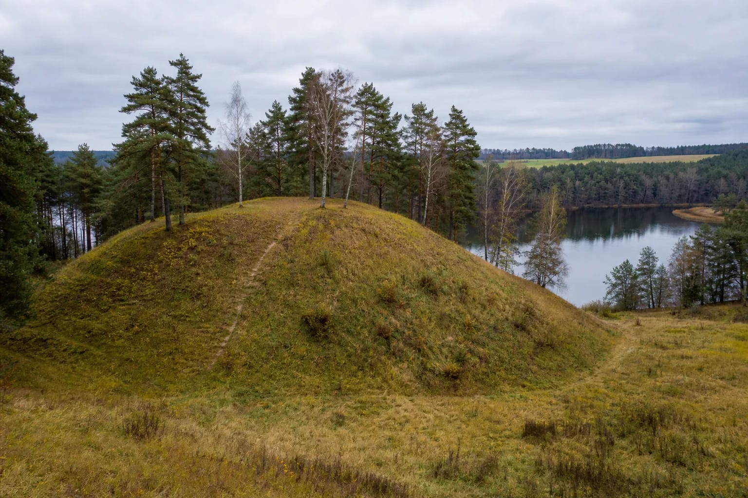
- Place
- Krūminiai, Matuizos eldership, Varėna District Municipality
- Region
- Dzūkija
- Type
- a monument-status archaeological complex comprising Krūminiai Hillfort and an ancient settlement at its foot beside the Verseka
- Address
- 7RRJ+JQ, Krūminiai, 65474 Varėna District Municipality
- Coordinates
- 54.29153, 24.83200
- Visit duration
- 40-75 minutes for the approach, the foot of the mound, two lines of earthworks, and the small enclosure
- Best time
- a dry day in early spring or late autumn, when foliage hides less of the ramparts, ditch, and steep slopes
Krūminių piliakalnis, Norkūno pilis, Norkūnas's Castle, Raganos pilis, Witch's Castle, Krūminiai Hillfort with Settlement
Heritage complex 22955 extends well beyond the top of the mound
Lithuania's Cultural Heritage Register protects Krūminiai as complex 22955, and the Heritage Department's protected-object list gives it monument status. The complex has two separately registered components: the hillfort, code 3670, and the ancient settlement, code 22956. Its defined area covers 32,188 square metres, so protection extends beyond the enclosure to the slopes, valley foot, and settlement deposit surviving below ground.
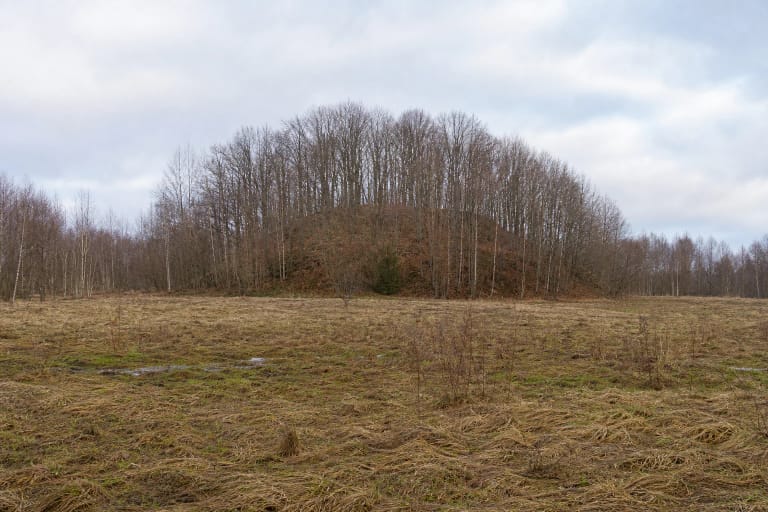
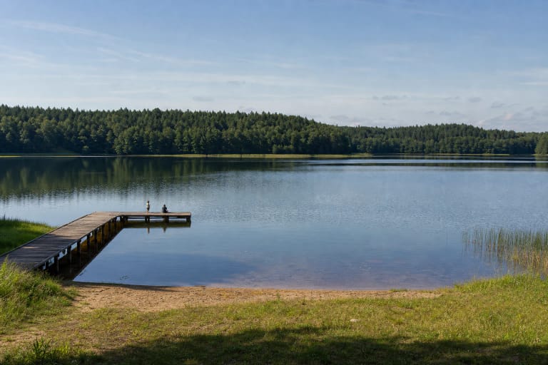
The hillfort stands approximately 1.5 kilometres south of Krūminiai village in Matuizos eldership. It occupies a separate mound on the right bank of the Verseka. The dammed river and Krūminiai Reservoir enclose it to the west, while hollows in the former river valley separate it on the other sides. Water, steep natural slopes, and constructed earthworks form one defensive landform.
The dedicated Google Maps listing is titled Krūminių piliakalnis and marks the mound at 54.2915322, 24.8319985. On 15 July 2026, it averaged 5.0 out of 5, but from only three reviews. That clears the required 4.5 threshold, yet such a small sample can change with a single new rating, so the figure should be rechecked before publication or travel.
Two ramparts and a ditch defend the 29 by 17 metre enclosure
The current register describes an irregular triangular enclosure aligned south to north. It is approximately 17 metres long and 29 metres wide along its northern edge. The western part has slipped, while earlier cultivation and pits altered the surface. The figure of 29 by 17 metres therefore describes the registered surviving landform, not a geometrically perfect triangle.
A rampart approximately 2 metres high and 15 metres wide closes the southeastern edge. Its western end has slipped or was cut away in the past. The register records stone paving and burnt timbers in the cultural deposit, but these remains are not enough to reconstruct particular gates, walls, or a timber castle without further investigation.
A second line of defence survives on the northwestern slope, approximately 5 metres below the enclosure. Here a ditch 30 metres long, 4-6 metres wide, and about 0.5 metres deep is followed by a rampart 1.5 metres high and 10 metres wide, with an outer face reaching 6 metres. A small terrace 3 metres lower is interpreted as a trace of the former entrance. The natural slopes rise steeply for approximately 11-12 metres.
Fieldwork in 1955 and excavation in 1998 examined different parts of the complex
The enclosure retains a dark cultural deposit more than 0.5 metres thick containing stone paving, burnt timber, and archaeological finds. Archaeologists from the Institute of History surveyed the mound in 1955 and recovered handmade rough-surfaced pottery, wheel-thrown pottery, and clay spindle whorls. These finds reveal occupation and craft activity, but they do not identify the people who lived here by name.
Settlement 22956 lies at the eastern foot. More than 280 square metres were excavated there under Erika Striškienė in 1998. The deposit produced pottery with striated and rough surfaces, wheel-thrown pottery, iron awls, and clay spindle whorls. The register also notes earlier damage from cultivation, construction of a farmstead, planting fruit trees, and other ground movement.
VLE dates the complex broadly from the beginning of the first millennium AD to the beginning of the second. This range can contain several phases of use and is not the building and destruction date of one castle. The finds are held by the National Museum of Lithuania, while no archaeological display stands on the hill itself. For visitors, the surviving landform remains the principal evidence on site.
Norkūno pilis is a registered name, while Raganos pilis requires greater caution
The register officially calls the hillfort component Krūminiai Hillfort with Settlement, known as Norkūno pilis. Varėna District Municipality also uses this name. It is therefore a securely documented place-name, but the register identifies no Norkūnas Castle in written historical sources, no ruler by that title, and no battle here. In this context, pilis or castle belongs first to the traditional name.
Raganos pilis, which can be translated as Witch's Castle, appears in later compiled lists of Lithuanian hillforts. It does not appear in the current register act, VLE article, or municipal description used for this page. It may be retained as a cautious alternative name, but it proves neither a sanctuary associated with witches nor a historical castle known by that title.
Folklore recorded in 1936-1937 says oxen collapsed when people tried to plough the hill, uncanny animal calls came from the mound, and a star or flame revealed hidden money. Another narrative tells of wrongdoers burned in a pleasure house and charcoal left underground. These stories must not be mapped directly onto the burnt timbers found archaeologically. Folklore interprets the place through narrative, while archaeology records material traces.
Cultivation, pits, landslips, and the dammed Verseka shaped the site seen today
Register data show that cultivation, pit digging, and landslips damaged the enclosure, ramparts, and slopes. The western enclosure edge and parts of the ramparts have slipped, while the ditch has partly filled. Investigators documented and backfilled some older pits in 1998, but this did not restore the earthwork to its original form.
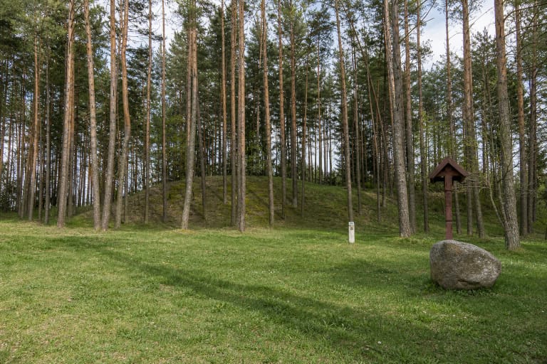
A timber cross stood at the southwestern edge during the first half of the twentieth century, but VLE records that it no longer survives. It was a later marker of local memory, not a structure from the hillfort's period of use. Damming the Verseka produced another major change by flooding part of the former valley and strengthening the modern impression of a mound surrounded by water.
The register's 2013 condition description called the mound densely wooded and scrub-covered, while photographs now published by VLE show more open grass and low scrub on the slopes with pines and birches on the crown. Vegetation and management change, so visibility of the earthworks varies by season and year. Do not dig, use a metal detector, or widen paths through the protected deposit.
The Google pin marks the mound, not a formal car park or an officially 24-hour attraction
The exact map listing marks the hillfort itself. The authoritative sources used here confirm no formal car park, ticket office, gate, steps, or permanently waymarked route to the enclosure. Older public approach descriptions suggest using field and woodland tracks from the direction of Krūminiai and Jakėnai, but they cannot guarantee the present condition of a track or permission to drive on it.
Some unofficial descriptions place the hillfort on private land, but no clear current ownership or visitor regime could be confirmed in authoritative sources. Do not drive across fields, cross fences or prohibition signs, or disturb the farmstead at the foot. If the only visible approach clearly enters enclosed land, ask permission or turn back.
Google displayed 24-hour access on 15 July 2026, but that is not an opening schedule approved by the municipality. Visit in dry daylight. The 11-12 metre slopes, grass, roots, and unprepared path can be slippery after rain, while step-free wheelchair access is unconfirmed. Allow 40-75 minutes, read the profile from the foot first, and then use an existing path rather than cutting directly up the slope.