- Place
- Panemuninkai village, Alytus Eldership, Alytus District Municipality
- Region
- Dzūkija
- Type
- a registered hillfort of national significance in Punia Forest within Nemunas Loops Regional Park
- Address
- Panemuninkai village, Alytus Eldership, Alytus District Municipality
- Coordinates
- 54.51022, 24.04745
- Visit duration
- 20-40 minutes for the hillfort itself, although legal marked access forms part of the 8.8 km Punia Forest loop; allow several hours for the complete circuit
- Best time
- a dry, bright day in early spring or late autumn, when foliage does not obscure the narrow promontory, bank, and ditch
Panemuninkų piliakalnis
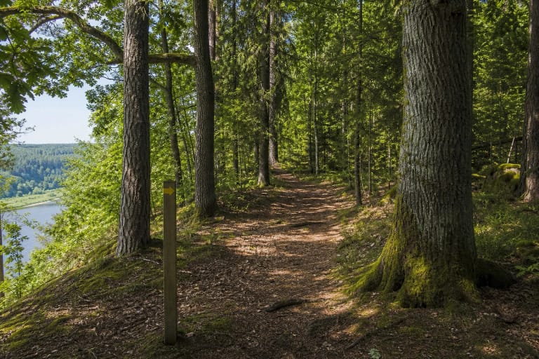
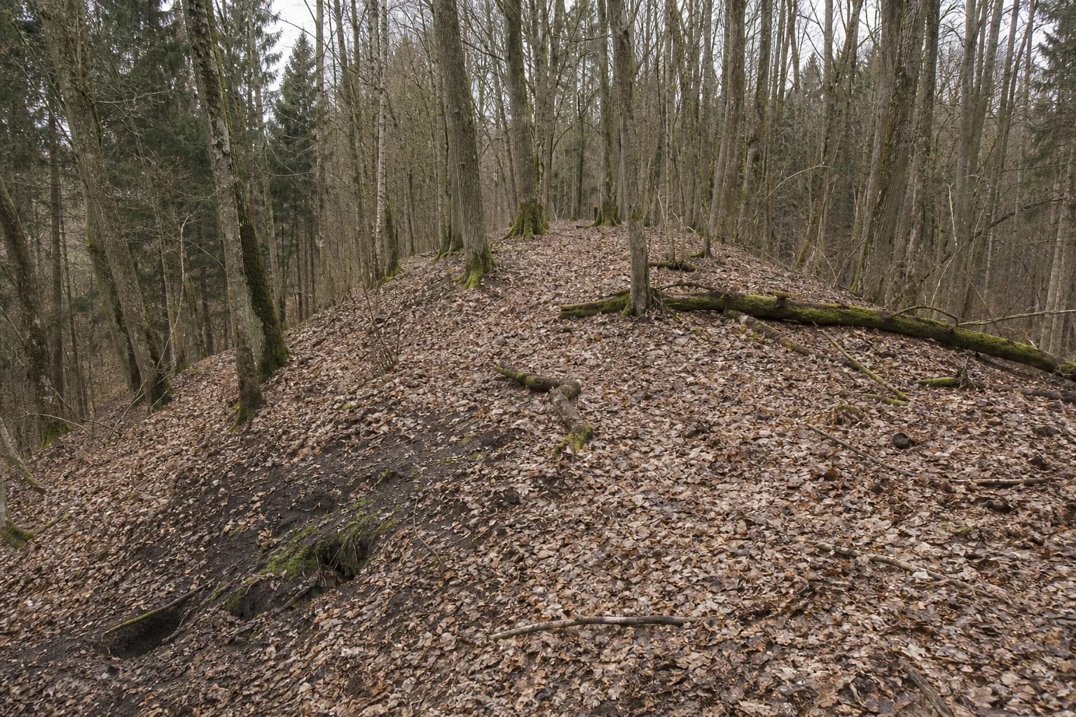
The narrow hillfort promontory blends into the woodland relief of Punia Forest
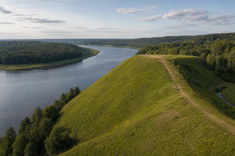
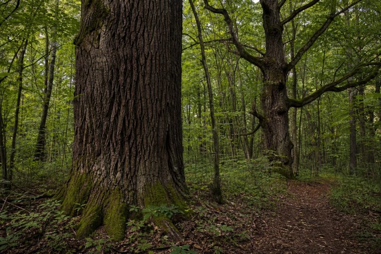
Panemuninkai Hillfort occupies an upper terrace high above the left bank of the Nemunas. An unnamed stream ravine bounds the promontory on the south-west and west, the Nemunas valley lies to the south-east, and the ridge joins the high riverbank on the north. Register photographs show no open grassy mound: this is a narrow rise beneath mature deciduous trees and scattered spruce, covered with brown leaves, mossy timber, and deadwood. Dense trunks screen the Nemunas, so the primary subject is the landform rather than a river panorama.
The exact Google Maps place, ID ChIJqzPeZp5L50YRDZBl303E-Ws, marks 54.5102182, 24.0474491. The point falls inside the current registered site and reliably identifies the hillfort, but it is not a car park, trailhead, or official entrance. Its Google CID is 7780465669998743565.
On 15 July 2026, the place averaged 4.6 out of 5 from 7 reviews. It cleared the 4.5 selection threshold, but seven ratings remain a small sample and the average can move noticeably. The score also says nothing about wet ground, fallen branches, or nature-reserve restrictions on the day of a visit.
A 20 by 15 metre summit is defended by a low bank and a broad silted ditch
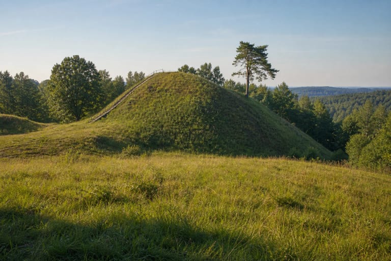
The register describes a north-south summit approximately 20 metres long and 15 metres wide. Its northern end is fairly level, while the whole surface is slightly convex across its width and descends gently towards the south. This is not a neatly graded platform: continual animal burrowing has deformed and severely damaged the surface.
At the northern end stands a levelled bank approximately 14 metres long, 10 metres wide, and 0.5 metres high. Its outer slope, about two metres high, descends into a ditch roughly 15 metres wide and up to 1.5 metres deep. The ditch has silted up and reads as a broad, shallow depression beneath the forest litter, so the defence makes more sense through slow observation than by searching for a conspicuous wall.
KVR records a slight rise beyond the ditch and cautiously considers it the probable remnant of a second bank. This is an interpretation, not a fully reconstructed second earthwork. The natural promontory supplied much of the defence: the slope reaches 50 metres above the Nemunas side and 8-25 metres above the unnamed stream ravine.
Finds noticed in animal burrows in 2015 revealed the archaeological deposit
A dark cultural deposit is visible in the walls of animal burrows on the summit and slopes and reaches 30-40 centimetres in places. Small fragments of handmade pottery and clay daub were found there in 2015. They confirm past human activity, but a few fragments cannot establish a building plan, population, named battle, or account of the hillfort's destruction.
The State Service for Protected Areas says that the hillfort was discovered in 2015, and it entered the Cultural Heritage Register on 21 November 2017. The current register dates it broadly from the middle of the first millennium to the beginning of the second. That range summarises archaeological dating; it does not imply that one fortress operated continuously for several hundred years.
The site has KVR code 41319, registered status, national significance, and a protected area of 13,611 square metres. It is an individual object: KVR does not attach a separately registered settlement at its foot. Evidence or narratives from settlements beside other hillforts should therefore not be imported into Panemuninkai without research.
Panemuninkai Hillfort and Panemuninkai bluff are two separate stops
The official Punia Forest route visits both Panemuninkai Hillfort and Panemuninkai bluff, but they are not the same place. Their Google Maps points lie about 922 metres apart in a straight line, which is not a trail distance. The new steps described by VSTT connect the top of the bluff with Dukes' Avenue beside the Nemunas; they do not climb to the hillfort summit.
The register's 2017 hillfort photographs show no steps, handrails, viewing platform, boardwalk, benches, or information board. The bank, ditch, and narrow ridge remain within the natural forest floor. Promising an engineered ascent or a viewpoint immediately at the hillfort would therefore be misleading.
The bluff is the stop for a view over the Nemunas valley; the hillfort rewards attention to subtle archaeological relief. Woodland is dense enough for the river to remain completely hidden between the trunks. Look instead for the small summit, low bank, silted ditch, and wooded sides dropping sharply away from the ridge.
Official access forms part of the 8.8 km Punia Forest Educational Trail
Current Saugoma.lt information describes an approximately 8.8 km circular educational route through Punia Forest. It begins by Punia forestry at Nemuno Street 82 in Panemuninkai village; the official parking point is published at 54.507141, 24.038340. The hillfort pin lies about 680 metres away in a straight line, but the terrain and trail are not a straight segment, so that number must not be presented as walking distance.
The present route is marked by yellow arrows on a white background on trees and posts. Follow current waymarks and signs rather than trying to cut a shorter line with a phone compass. Official sources publish no separate short vehicle approach to the hillfort and no confirmed parking beside it.
The register's visitor-information and opening-hours fields are blank, while the hillfort sources publish no separate ticket office, admission price, or gate schedule. Google's round-the-clock hours are not an official guarantee of access. Visit in daylight, check Saugoma.lt and directorate notices before setting out, wear footwear suitable for a forest path, and allow several hours for the full marked loop.
The marked route protects both the reserve boundary and damaged archaeology
The Punia Forest route remains in visitor-access territory and approaches the boundary of the strictly protected Punia Forest Nature Reserve on part of its circuit. A 2026 directorate reminder states that independent visiting and driving in the nature reserve are restricted and that the prohibition includes its roads. Stay on the marked route, do not pass reserve signs, and never treat an animal track as a visitor shortcut.
The hillfort itself has already suffered from natural erosion and burrowing animals. Do not enter burrow cavities, scrape the exposed dark deposit, collect pottery, or use a metal detector. Even a small object has archaeological value only in its exact context; once removed, much of that evidence is lost.
Leaf-covered slopes rising 8-50 metres, damp ground, roots, and deadwood make the place unsuitable for wheelchairs and difficult after rain. No steps or handrails are confirmed at the hillfort. Keep children close, avoid abrupt edges after dark, and do not turn the search for a Nemunas view into a hazardous descent from the protected promontory.