- Place
- Padovinys, Marijampolė Municipality
- Region
- Suvalkija
- Type
- archaeological complex of national significance comprising a hillfort and a settlement around its foot
- Address
- Padovinys village, Liudvinavas eldership, Marijampolė Municipality
- Coordinates
- 54.50951, 23.44368
- Visit duration
- 45-75 minutes to examine the two levels, enclosure, and landscape of the settlement around the foot
- Best time
- a dry day in spring or early autumn, especially after the grass has been cut and the hillfort's two levels are easiest to distinguish
Padovinio piliakalnis, Vyšnialaukis Hillfort, Padovinys Hillfort and Settlement
A two-tier hill stands out in the level countryside of Sūduva
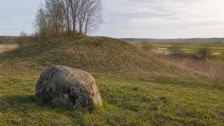
Padovinys Hillfort stands north and slightly west of the centre of Padovinys village, on an elongated moraine hill among cultivated fields and damp lowlands. An unnamed channelised stream curves past its northern and eastern sides. In the wider landscape between Amalvas and Žuvintas, the hill is one of a series of islands of higher ground rising above drained fields and low meadows.
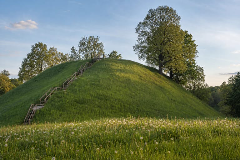
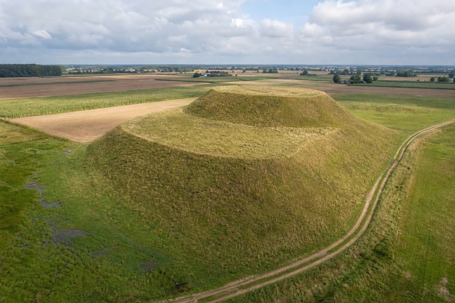
The site's defining shape is clearest from the south: a long lower level supports a compact upper mound. Official photographs show an open, treeless earthwork without reconstructed defences, allowing its profile to be read almost like a relief drawing. There is no observation tower on top; the view comes from the natural rise of slopes that stand 9-11 metres above the fields.
A 27-by-22-metre enclosure sits above a terrace up to 30 metres wide
The valuable features defined by the Register of Cultural Property in 2019 describe an oval enclosure elongated from northeast to southwest and measuring 27 by 22 metres. A levelled rampart about one metre high and 12 metres wide survives at its southwestern end. A trench cut into the southeastern edge is later damage to the enclosure, not an ancient defensive ditch.
A terrace up to three metres wide follows the slopes three to four metres below the enclosure. It broadens to 30 metres on the southwestern side, where it resembles a separate lower enclosure; part of the terrace has been destroyed on the northwestern slope. The main slopes are steep and 9-11 metres high, while those below the southwestern terrace are gentler and about four metres high.
Older descriptions give different measurements. Petras Tarasenka recorded an enclosure of roughly 45 by 20 metres in 1954, while an earlier descriptive section of the register refers to a 20-by-25-metre terrace. These figures were recorded at different times and reflect different ways of separating the enclosure, rampart, and terraces. This page uses the current measurements from the register's legally defined valuable features while retaining the discrepancy as part of the site's research history.
A settlement and three pottery traditions extended beyond the summit
Archaeologists identified a settlement of about two hectares at the western and northern foot of the hill. Pottery with smooth, brushed, and roughened surfaces was found there. The register also describes settlement traces to the north, west, and east, so it should not be imagined as one sharply fenced plot: archaeological deposits occupied ground around several sides of the hill.
Darker cultural deposits containing finds were observed during surveys in 1954 and 1962. Traces of a cultural layer were also recorded in the enclosure and on the eastern slope, but trenches damaged the summit, while long-term ploughing and land drainage disturbed the settlement below. Padovinys is a nationally significant archaeological complex, yet the landscape visible today is not an untouched survival from antiquity.
The register dates the complex broadly to the first millennium AD and the beginning of the second. Such a long range brings several strands of archaeological evidence together; it does not mean that a single castle stood here continuously throughout that period. Published sources do not identify a historical castle name, ruler, or a particular battle fought at Padovinys.
A silver brooch and five spindle whorls reveal the limits as well as the value of old finds
The first archaeological objects known from the area between Amalvas and Žuvintas came from Padovinys. The National Museum of Lithuania inventory attributes six objects to the hillfort: five clay spindle whorls and a silver ringed crossbow brooch. The brooch is 8.9 centimetres long, its spring measures 9.6 centimetres, and its bow is decorated with pairs of small rings and rows of dots. It is dated to the seventh or eighth century.
Their history also shows why early descriptions need to be checked. At the beginning of the twentieth century, historian Jonas Totoraitis called the silver brooch he had received from children in Padovinys a bronze buckle. Later researchers corrected the identification and matched two spindle whorls through his detailed account, but noted that the origin of the remaining three objects carrying a Padovinys provenance is less securely documented. These are chance finds transferred to a museum, not the contents of a sealed archaeological excavation context.
The site was also known as Vyšnialaukis Hillfort. An old description of one hill sitting upon another neatly conveys its visible two-tier profile, but does not prove that two castles of different periods stood here. Varnupiai is the hillfort in the Amalvas-Žuvintas area that has been excavated more extensively; knowledge of Padovinys rests chiefly on measurements, field surveys, registered finds, and condition monitoring.
The final approach follows a farm track to a site without visitor infrastructure
The registered site point is 54.509507, 23.443677. Leave district road 2605 between Marijampolė and Daukšiai at the local turn by the junction towards Vaitiškiai, then follow the farm track for roughly 220 metres. The hill rises on the left, west of the track. The final section is unpaved and serves farmland, so park without obstructing access and never drive onto crops.
A Marijampolė Municipality condition report from 2020 found the surroundings maintained and no change in the physical condition of the monument. The same inspection noted that heavy farm vehicles had damaged the approach road. This is a historical inspection record rather than a guarantee of present conditions, so reassess the track after rain or active fieldwork.
Official sources publish no tickets, opening hours, paved car park, steps, or handrails. Reaching the top involves an uneven grassy slope, so the summit is not wheelchair accessible and can be slippery after rain. Visit in daylight, wear firm footwear, avoid crossing crops, and protect the archaeological deposits: do not dig, use a metal detector, or disturb the slopes.