- Place
- Vilnius City Municipality
- Region
- Vilnius
- Type
- nationally significant hillfort with an associated settlement at its foot in Pavilniai Regional Park
- Address
- Pūčkorių Street, Pavilniai Regional Park, Vilnius
- Coordinates
- 54.68929, 25.36926
- Visit duration
- about 30-60 minutes for the hillfort; 1-3 hours with a chosen loop of the Pūčkoriai Nature Trail
- Best time
- a dry day from spring to autumn; the relief is clearer without leaves, but wet or icy steps can be slippery
Vilnius (Pūčkoriai) Hillfort, Pūčkoriai Hillfort with Settlement
The Vilnius hillfort is neither the outcrop nor the Pūčkoriai group in Plungė
The exact place entry marks 54.6892862, 25.3692629 beside Pūčkorių Street in Vilnius. This is a nationally significant archaeological site in Pavilniai Regional Park, Cultural Heritage Register code 16124. The pin marks the hill itself rather than a guaranteed free parking space.
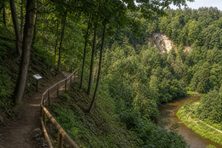
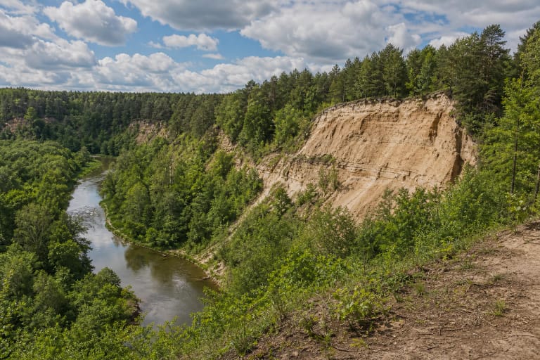
Pūčkoriai Outcrop is a different geological destination west of the hillfort, while the Pūčkoriai Nature Trail offers routes of several lengths connecting places in the valley. Two other well-known Pūčkoriai hillforts, Pilė and Pilies Kalnas, stand in Plungė District. Check the Vilnius coordinates and Google Place ID ChIJc2UXe3GW3UYR5f2_S-KrIUE when navigating.
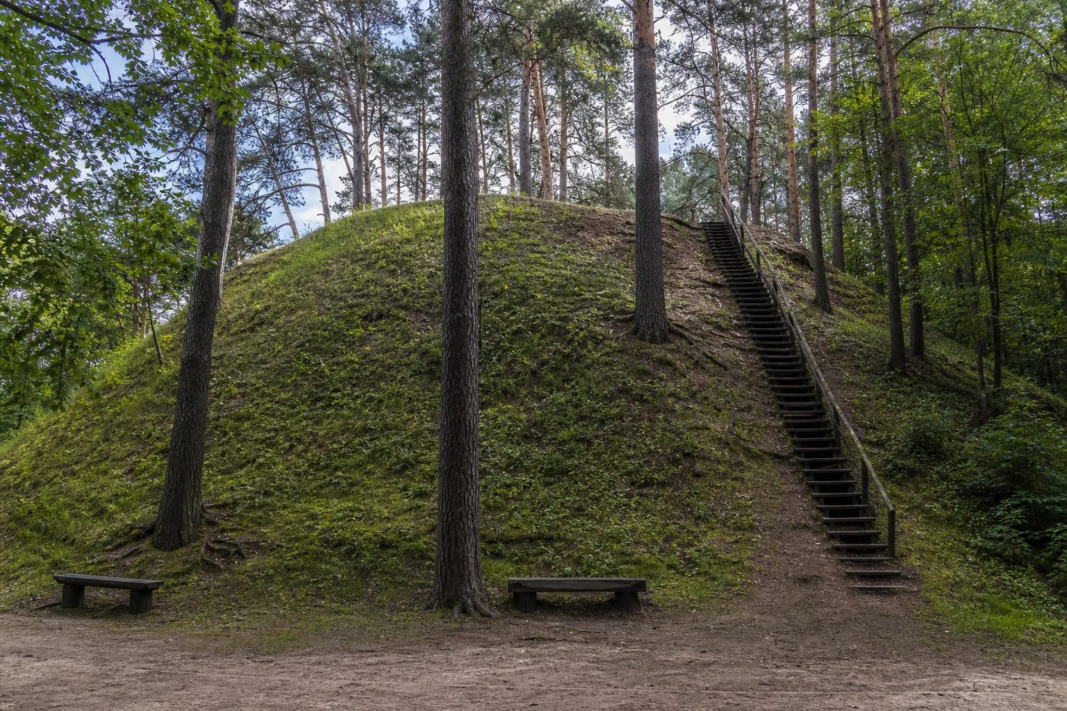
Allow about 30-60 minutes for the hillfort alone. From below it appears as a steep grassed mound with scattered pine and deciduous trunks, benches, and a narrow stair. Its scale unfolds on the ascent and cannot be understood from the Pūčkoriai Outcrop viewpoint.
The Vilnia Valley, a ravine, and a broad low rampart defended the 18-metre hill
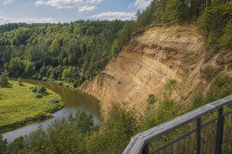
The hillfort occupies a prominent hill beside the Vilnia Valley. Its slopes are steep and reach 18 metres. The valley wraps around it from the north, west, and south, while a ravine on the east separates it from the neighbouring upland.
An oval summit enclosure measuring 20 by 28 metres runs north to south. A rampart about 0.5 metres high and 8 metres wide survives along its southern and eastern edges. A long, shallow ditch can still be read at the foot, together with traces of terraces on the slopes.
Saugoma.lt states that the Vilnia flowed closer to the hill when the fortification was in use, while Pūčkoriai ponds now occupy part of the old channel. This helps explain the defensive choice: ground that appears as dry land and ponds today was once more closely connected to the river course.
A one-square-metre test pit produced evidence open to two readings
In 1984, an expedition led by Kęstutis Katalynas opened a one-square-metre test pit on the northern edge of the summit. The park authority divides the cultural layer into two horizons and records handmade lightly brushed pottery, wheel-thrown pottery, an iron sickle, and remains interpreted as stone paving. The LAD archaeological report describes a 45-50-centimetre layer with the same pottery and sickle finds but refers to burnt stones. The paving interpretation is therefore not unequivocal.
Such a small excavated area cannot reveal a complete building plan. The sickle connects the community with agricultural work and the pottery with preparing and storing food. If the stones formed paving, they would indicate an intentionally prepared surface, but a single test pit cannot reconstruct the appearance of a particular castle yard or its houses.
A settlement covering about 0.2 hectares is registered at the southern and western foot of the hill. VLE records coarse-surfaced and wheel-thrown pottery together with iron slag. The slag shows work with iron, but does not identify the particular objects made here.
The finds cover a much longer story than one phase of a castle
VLE dates the hillfort from the 1st millennium to the 14th century and states that it became a protected cultural monument of national significance in 1993. Saugoma.lt additionally records Stone Age flint artefacts, blades and waste, cremation graves, a 10th-century sword, and pottery at the foot of the hill.
These should be read as traces of human activity from different periods in the Vilnia Valley, not the contents of one castle occupied continuously for thousands of years. Stone Age flint predates the fortified hill, the 10th-century sword belongs to another phase, and wheel-thrown pottery may be later still.
The checked sources provide no castle name, documented battle at this hill, or complete plan of its timber buildings. Saugoma.lt records an altar standing on the summit, but its presence alone does not prove an ancient sanctuary or an unbroken ritual tradition. Documented archaeology should remain separate from modern interpretation.
Steps repaired in 2008 improve access, but the route is not barrier-free
In 2008, the path surface was restored, steps strengthened, benches replaced, and landscape-management thinning carried out. Current photographs still show mature trees on part of the hill and a narrow stair climbing its steep green slope.
The official object pages publish no separate opening hours, ticket office, or compulsory admission. Do not treat the all-day access shown by the Google listing as a guarantee that the steps are always safe or the approach never restricted. First-time visitors should come in daylight and check current park information.
Official photographs show a small stopping area beside the road, but capacity and legal parking arrangements can change. Follow signs, keep Pūčkorių Street clear, and do not drive onto grass. The steep stair is unsuitable for wheelchairs, while children need close supervision on wet or frosty steps and near slope edges.