Karmazinai, Vilnius District Municipality
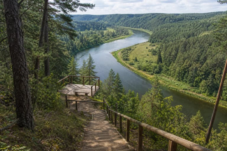
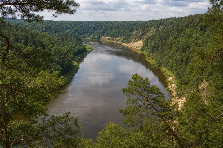
Neris Regional Park
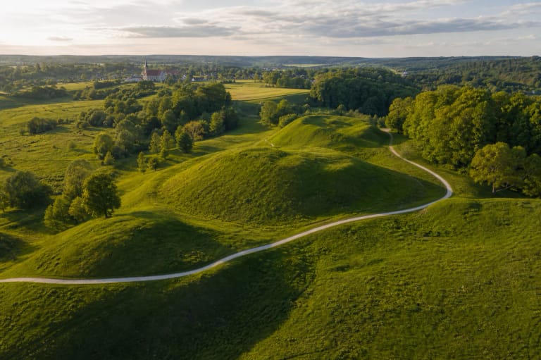
hillfort and 150-burial-mound complex in Neris Regional Park
54.81917, 24.93111
30-60 minutes for the hillfort, 2-3 hours with Karmazinai Trail
dry spring or autumn, when the Neris valley relief is easier to read
Viršupis
A Hillfort in the Karmazinai Archaeological Landscape
Karmazinai Hillfort should not be judged apart from its surroundings. It stands in Neris Regional Park near the Dūkšta valley, and the nearby Karmazinai burial mound cemetery and nature trail reveal the wider Iron Age and river-valley context.
Hillfort, burial mounds, Neris scarps, Dūkšta valley, and forest paths form one archaeological route. One place speaks of defence and settlement; another of burial and community memory.
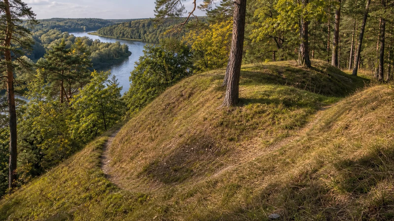
Viršupis: A Small Hill in the Dūkšta Valley
Karmazinai Hillfort is also called Viršupis. VLE says it is about 0.8 km northwest of the village and about 40 m west of the right bank of the Dūkšta. A low hill in the Dūkšta valley is surrounded by ravines and marshes. Its steep slopes are 7-12 m high, and the oval platform is only about 20 x 10 m.
VLE also records traces of defences: on the northeast slope, 1 m below the platform edge, a 4 m long and 0.5 m high rampart; on the southwest slope, another 6 m long and 0.5 m high rampart; and on the northwest slope, a 1-2 m wide, 28 m long terrace connecting them. Remains of a cultural layer exist on the platform and at the southern foot. The modest scale helps show that defensive networks included local water-linked sites, not only large castles.
Karmazinai Burial Mound Cemetery: About 150 Mounds
The strongest archaeological feature is the Karmazinai burial mound cemetery. VLE says it lies about 1.8 km southeast of the hillfort, in forest near the right bank of the Neris, with about 150 surviving mounds.
The mounds are 6 m to 12-15 m in diameter and 0.3-1.0 m high; many are flat and encircled by ditches, pits, or stone rings. VLE dates burials to the sixth-eighth centuries and notes finds such as spindle whorls, neck-ring and knife fragments, a sickle, and a blue glass bead, now kept at the National Museum of Lithuania.
Research History
Karmazinai burial mound cemetery has a long research history. VLE notes that Konstantinas Tiškevičius investigated three mounds in 1857. In 1933, the Vilnius University Archaeology Museum excavated 43 mounds under Helena Cehak-Hołubowiczowa.
In 1997 Vilnius University investigated three mounds under Gintautas Vėlius, and after the research their embankments were rebuilt to preserve the landscape view. The sequence shows that Karmazinai is a scientifically important Iron Age monument, not only a tourist point.
Neris Valley Context and Visiting
Karmazinai Hillfort helps explain why Neris Regional Park is both a natural and archaeological space. The river was a route, boundary, food source, and landmark; the hillfort and cemetery show a living community in the valley.
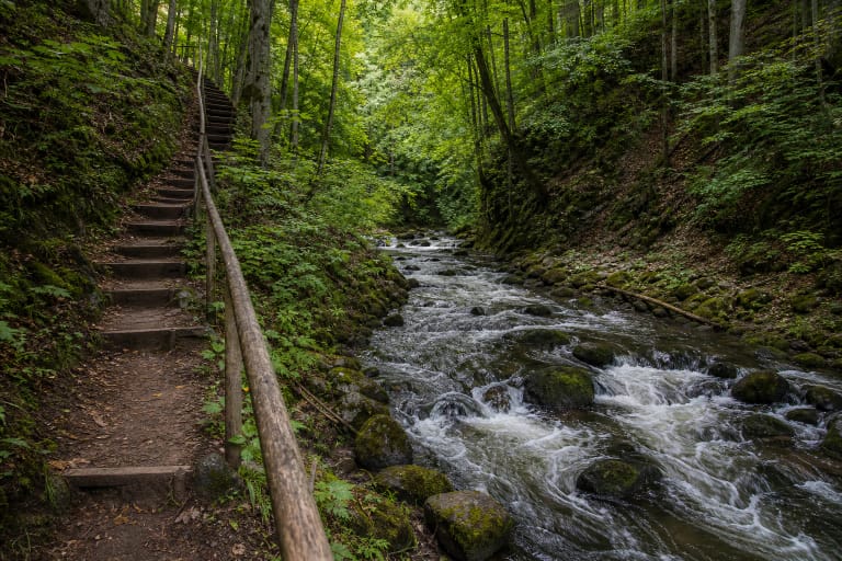
Allow 30-60 minutes for the hillfort alone, but choose Karmazinai Nature Trail and 2-3 hours to understand the site properly. Keep Kernavė, Dūkšta Trail, and other Neris valley points in mind so Karmazinai reads as part of a wider cultural landscape. In wet weather, slopes and stairs can be slippery. Stay on marked trails, do not walk over burial mounds, and do not shortcut through slopes.