- Place
- Petrašiūnai Eldership, Kaunas City Municipality
- Region
- Kaunas Reservoir Regional Park
- Type
- hillfort with a foot settlement
- Address
- Marių g., Palemonas, Kaunas, Lithuania
- Coordinates
- 54.89944, 24.05028
- Visit duration
- 45-90 minutes; longer if combined with a walk along the Kaunas Reservoir shore
- Best time
- in daylight, especially spring or autumn for the wider view; slopes and steps can be slippery after rain
Šuneliškiai Hill, Amaliai Hillfort, Vieškūnai Hillfort with foot settlement
Vieškūnai Hillfort is in Palemonas beside the Kaunas Reservoir
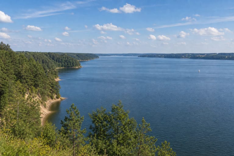
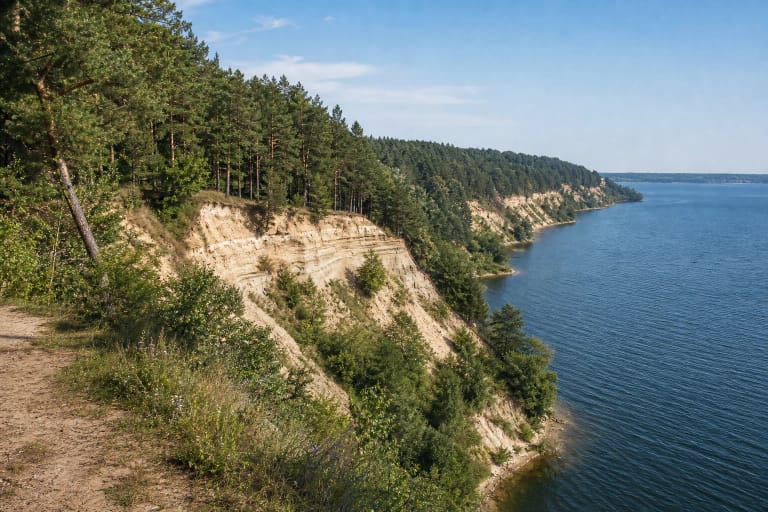
Vieškūnai Hillfort stands in Palemonas, within Petrašiūnai Eldership in Kaunas City Municipality, on a promontory of the upper terrace of the Nemunas Valley. The Kaunas Reservoir now surrounds the promontory from the south, while the Šuneliškiai Ravine stream borders it from the west. Official and travel descriptions use the names Vieškūnai, Šuneliškiai Hill, and Amaliai Hillfort for the same place.
The page coordinate 54.899444, 24.050278 marks the archaeological hillfort itself rather than the entire Palemonas shore. Marių Street is a useful approach landmark, but the precise access, gates, and shoreline surface can change. Navigate to the Vieškūnai Hillfort point rather than searching only for the wider Kaunas Reservoir.
The platform is defended by a rampart, ditches, and steep slopes
The Lithuanian hillfort atlas describes an irregular triangular platform elongated from north-east to south-west. It is about 32 metres long and about 30 metres wide in its north-eastern section. A rampart about 32 metres long, 3 metres high, and 11 metres wide was built along the north-eastern edge.
Beyond the rampart lies a ditch about 55 metres long, 13 metres wide, and 2.5 metres deep. In the north-western slope it turns into a terrace, while the south-western side includes a smaller excavated ditch and a triangular tip. The slopes are steep, about 15-20 metres high, so the relief is best read from the existing steps and paths.
A wooden stronghold guarded Kaunas in the second half of the fourteenth century
Saugoma.lt dates Vieškūnai Hillfort to the second half of the fourteenth century. A wooden stronghold stood on the promontory as part of the defensive ring covering Kaunas from the south-east. The stronghold was attacked at least once, but its historical name has not survived.
This was not an isolated mound. A foot settlement of about one hectare lay north-east of the hillfort and existed for roughly as long as the stronghold. After the wooden stronghold declined, habitation moved back into the Nemunas Valley, where the archaeological context suggests that a cemetery may also have existed.
The name Šuneliškiai Hill is explained through a local legend. It is said that a nobleman's daughter once took her own life on the hill and that ghostly barking or howling could then be heard there. This is an oral tradition, not archaeological evidence or a documented account of a specific historical event.
Vieškūnai and Amaliai belong to the place-name and heritage-catalogue layers, while the legend adds another layer of local memory. On a visit, keep the documented ramparts, research, and sources distinct from what has been passed down through storytelling.
The settlement layer preserves an older Stone Age trace
The foot settlement was established on the site of an earlier Stone Age settlement. The Lithuanian hillfort atlas records a fourteenth-century cultural layer up to 40 centimetres thick in the settlement investigated in 2000, with pottery, animal bones, and daub. This makes Vieškūnai an inhabited archaeological complex, not only a defensive earthwork.
Research in 1997 and 2000 examined a combined area of 47 square metres on the platform and southern slope. Investigators found a cultural layer up to 20 centimetres thick with traces of buildings, a crossbow bolt head, a knife, a bronze fitting, a pendant, and wheel-thrown pottery. These finds belong to archaeological research and should never be collected from the ground.
The memorial stone links the hillfort to the flooded reservoir landscape
A memorial stone stands at the south-western foot of Vieškūnai Hillfort for hillforts washed away by the Kaunas Reservoir. It shows that the present water landscape is not merely a natural backdrop: the reservoir was formed by damming the Nemunas, and water and shore changes transformed the former valley.
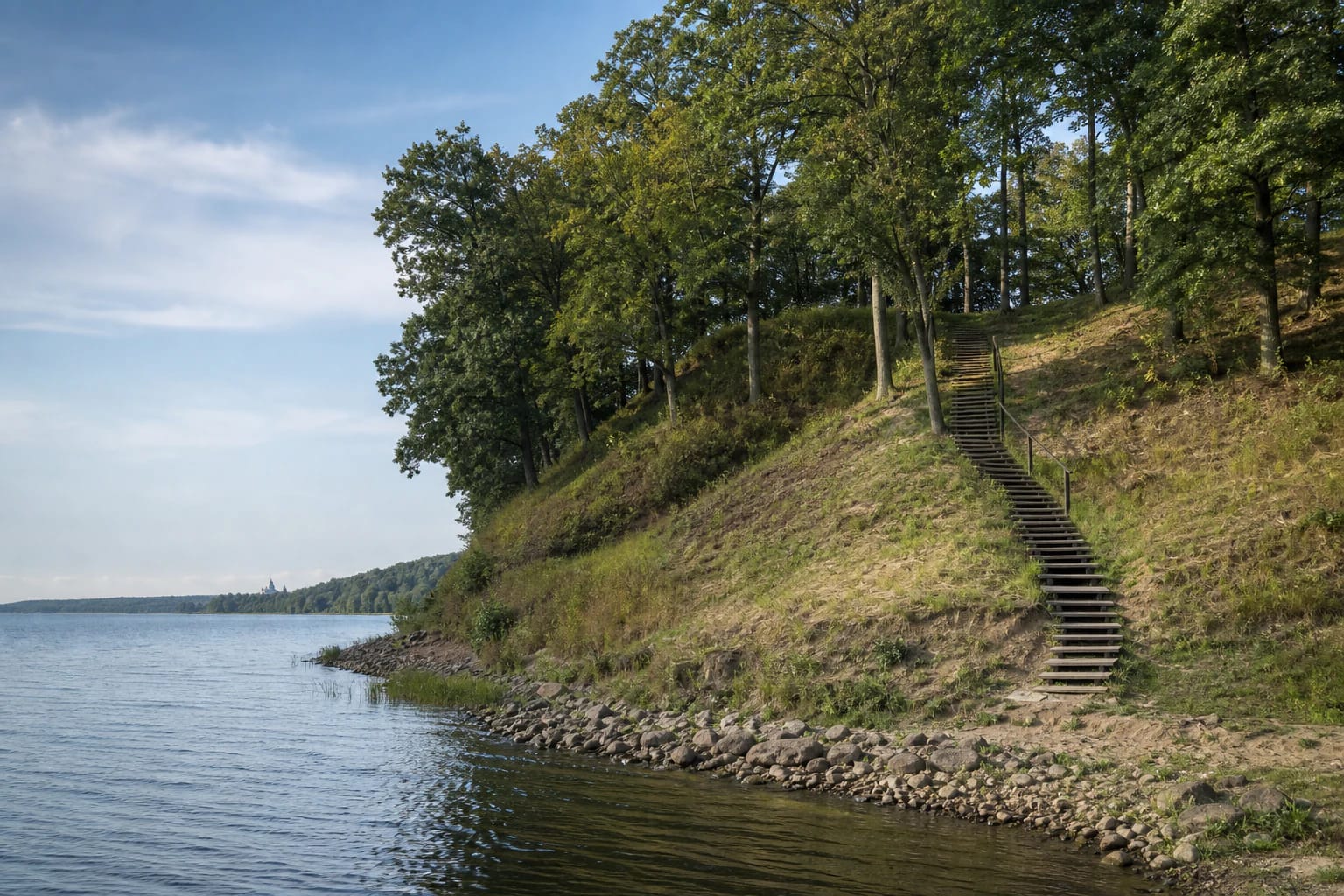
The reservoir had already begun eroding the lower part of the hillfort's southern slope. From 1998 to 2002 the site was restored: the eroded slope was rebuilt and reinforced, some trees were removed, and steps were installed. Today's visitor infrastructure is therefore part of the site's conservation history, not proof that the natural shore always looked the same.
How to visit Vieškūnai Hillfort
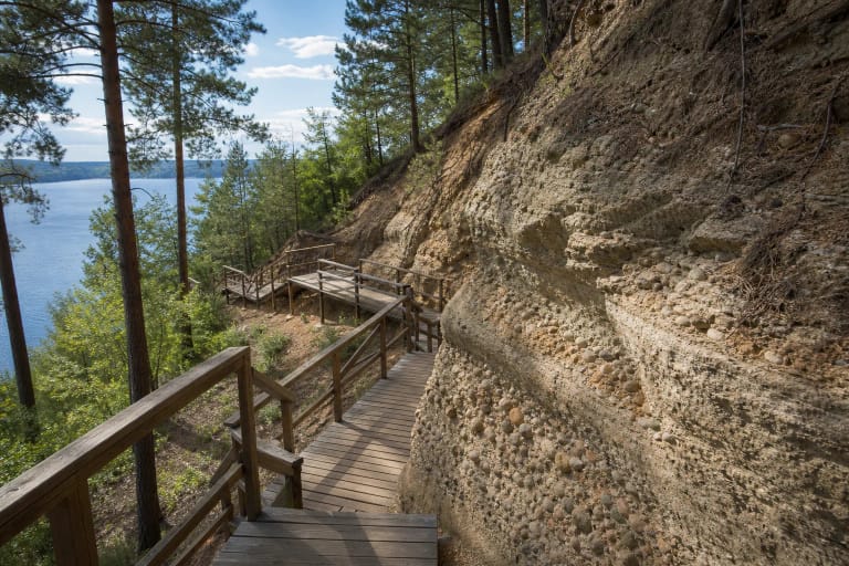
Visitors can use the steps to reach the platform and see the rampart, memorial stone, and the direction of the reservoir shore. Real photographs show a grassy slope, timber steps, a wooded upper terrace, and a stony shoreline. This is not a level park: soil, timber, and stones can be slippery after rain.
The heritage sources checked do not publish a separate hillfort ticket or fixed opening hours. That does not mean that visitors may park anywhere, cross barriers, or descend unmarked slopes. Use a lawful parking place, protect the rampart and foot-settlement area, and supervise children closely near the water and high slopes.
Allow 45-90 minutes for the main site. You can extend the day with Pažaislis, Kaunas Lagoon Regional Park trails, and other reservoir viewpoints, but each has a separate approach and its own surfaces.