- Place
- Domeikava Eldership, Kaunas District Municipality
- Region
- Kaunas Region
- Type
- hillfort with remains of settlements at its foot
- Address
- Užupio Street, Radikiai village, Domeikava eldership, Kaunas District
- Coordinates
- 54.96161, 23.94775
- Visit duration
- 1-2 hours for the climb, summit, and Neris valley views
- Best time
- a dry morning or evening from May to October; steep slopes and steps can be slippery after rain
Lantainiai Hillfort, Kleboniškis Hillfort, Pekelka Hillfort
Lentainiai Hillfort rises above the Neris valley
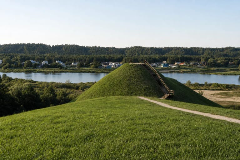
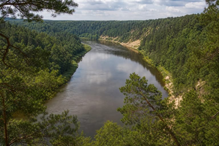
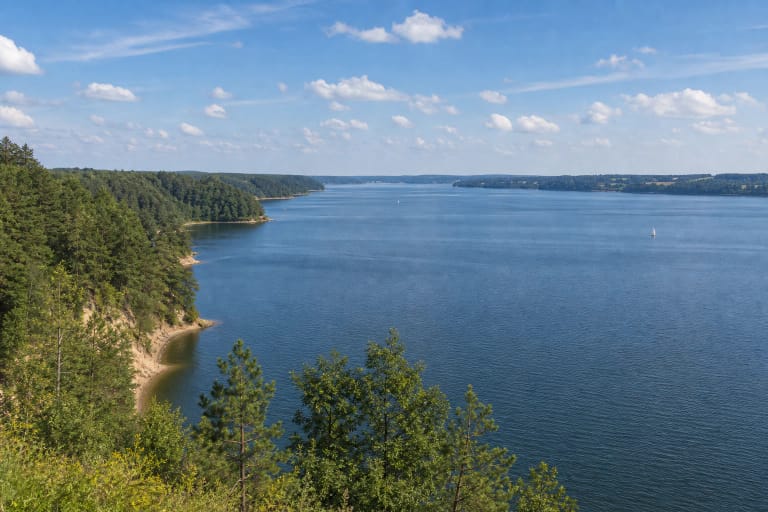
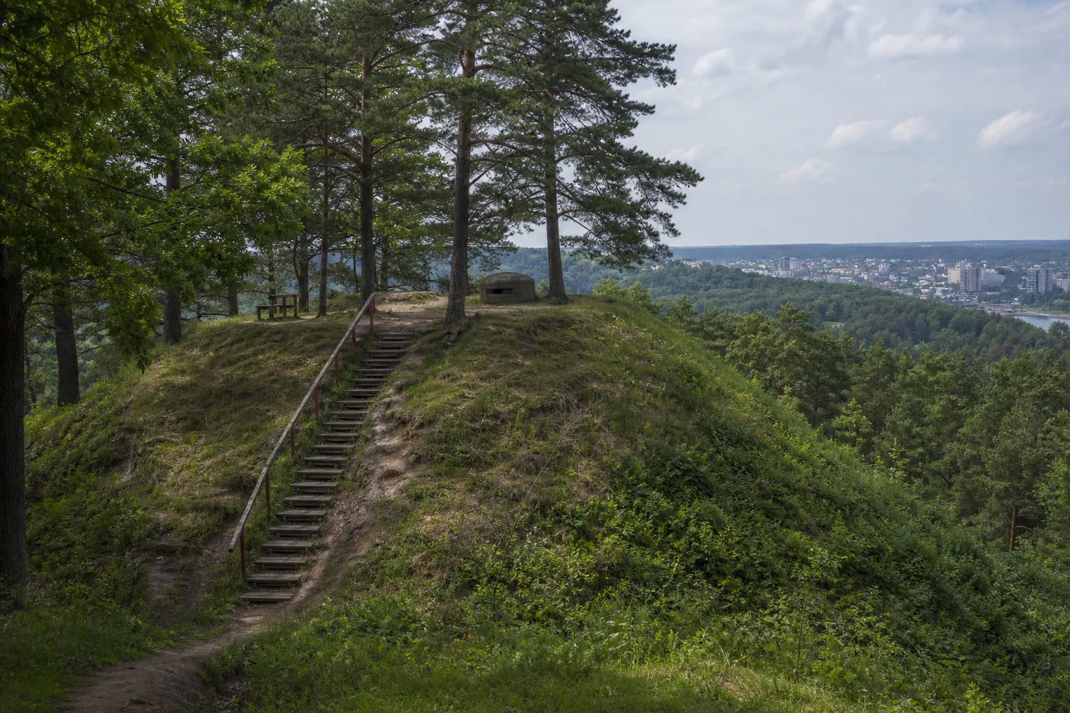
Lentainiai Hillfort is in Radikiai village, Domeikava eldership, on the right bank of the Neris. From the summit, visitors can see Kaunas District's natural landscape, Kleboniškis Forest, and an urban panorama, making the site both an archaeological monument and a compact viewpoint.
The official Domeikava Eldership page uses Lentainiai as the main name and also gives Lantainiai, Kleboniškis, and Pekelka as variants. This matters in navigation: the different names refer to one hillfort, not several separate hills.
The exact official map point is 54.961611, 23.947750, by Užupio Street. It identifies the hillfort approach, but stairs, trail conditions, and parking must be assessed on site, especially after rain or in winter.
The hillfort's shape: summit, slopes, and terraces
The Universal Lithuanian Encyclopedia describes the summit as oval and elongated northwest to southeast, about 23 metres long and 15 metres wide. A hollow separates it from the rest of the upland, while the northwest edge retains a rampart-and-ditch line.
Steep slopes about 30 metres high protect the hillfort on three sides. A triangular terrace lies below the summit on the southeast slope, and another terrace remains on the southwest slope at ditch level. These are thought to have formed part of an additional defensive system.
Read the relief as you visit rather than looking only for a photographic viewpoint. The rampart, hollow, terraces, and valley edge make up the hillfort structure; cutting straight across a slope damages the archaeological ground.
A wooden castle and settlements at the foot of the hill
The Kaunas District description suggests that a wooden castle once stood here, with a defensive wall around its yard. It dates the hillfort from the first millennium to the beginning of the second millennium; remains in the lower settlement include house traces, postholes, hearths, a whetstone, pottery, and animal bones.
The encyclopedia records ancient-settlement traces on the northern and southern lower slopes. The southern cultural layer was later affected by gardens and buildings. Surveys in 1931 and 2001-2008 added evidence that this was not an isolated mound but part of a wider inhabited landscape.
Research on the lower settlement in 2022 recorded charcoal, burnt stone, animal-bone fragments, a spindle, a pair of sixth-century copper-alloy tweezers, and several types of pottery sherds. These finds belong to research and museum collections: visitors must not dig or search for them at the site.
The 1915 bunker is a later layer of the landscape
The concrete bunker on the summit is not a medieval castle remnant. Archaeological material states that German forces built it in 1915 and used part of the northwest rampart's earth for the construction.
The combination shows how different histories overlap here: an Iron Age defensive site, lower settlements, and a First World War military structure. The bunker should not be described as the hillfort's castle or as a reconstructed castle.
Do not climb on the concrete structure, enter closed openings, or try to expose it. The earthwork, steep slope, and bunker can all be unsafe when their condition or the path changes after rain.
Planning a visit
When arriving by Užupio Street, first find a lawful approach and parking place, then follow the existing path. The Domeikava Eldership page associates the site with Radikiai but does not guarantee a large car park or a permanent toilet, so plan this as a short nature-and-heritage outing.
Allow 1-2 hours for the climb, summit, rampart, bunker, and view. After rain, steep slopes, wooden steps, and soil can be slippery; children and dogs need close supervision.
The second-to-sixteenth-century Radikiai cemetery is mentioned about half a kilometre southeast, but it is a separate heritage site rather than part of the summit. Do not cross private land to reach it or change a safe route simply because it looks close on a map.