- Place
- Aukštadvaris eldership, Trakai District Municipality
- Region
- Aukštadvaris Regional Park
- Type
- hillfort with an ancient settlement
- Address
- Moša village, Aukštadvaris eldership, Trakai District
- Coordinates
- 54.58496, 24.56382
- Visit duration
- 45 minutes-1.5 hours; longer if walking the Skrebio Forest trail
- Best time
- a dry day from late spring to autumn, when the woodland relief is easier to read; slopes may be slippery after rain
Mošos Hillfort, Naujasodžių Hillfort, Naujasodžio Hillfort, Kazokų Hill
Mošos Hillfort stands at the edge of the Mošia valley
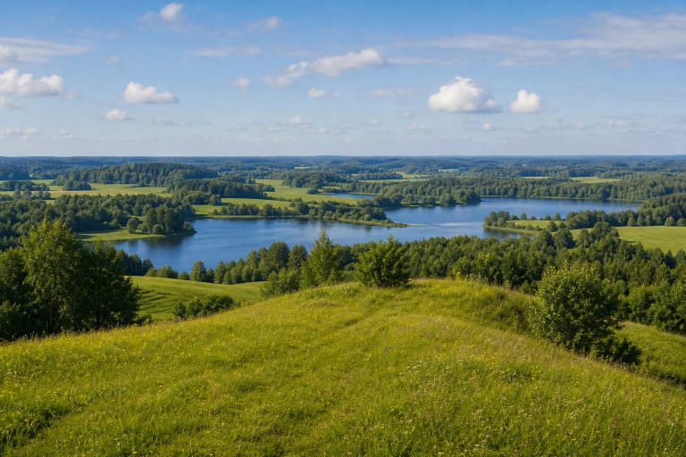
Mošos, Naujasodžių Hillfort with Settlement is in Moša village, Aukštadvaris eldership, on the right bank of the Mošia Stream. VSTT also calls the stream Ribinka. The valley surrounds the hillfort to the north and east, low ground lies to the south, and the hill joins the rest of the upland on the west. The precise visitor point at 54.5849584, 24.5638228 corresponds to the publicly marked Naujasodžiai Hillfort.
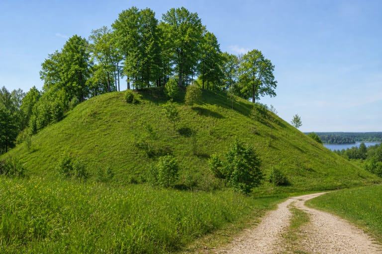
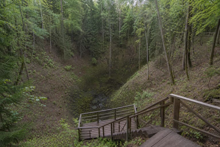
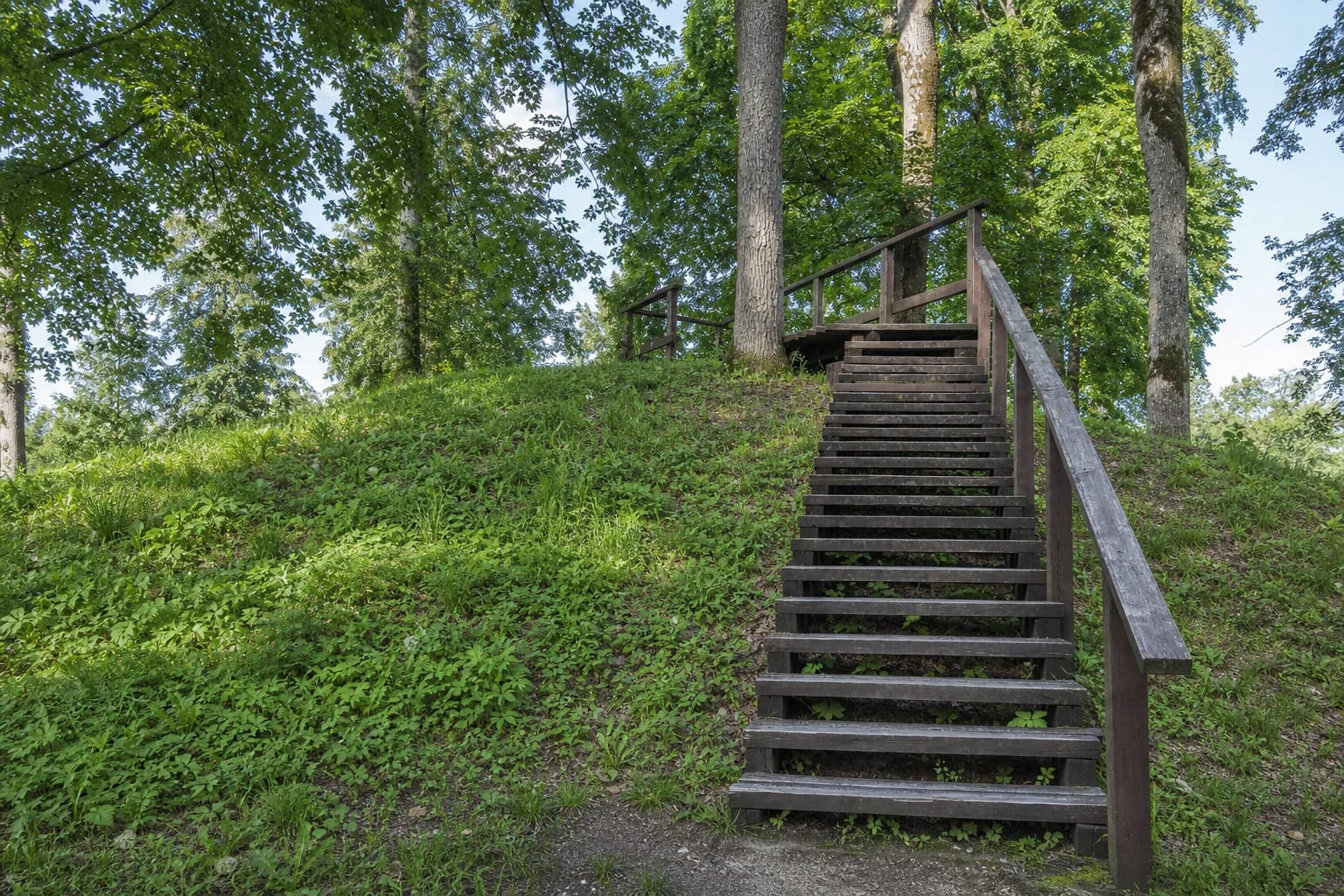
This is a woodland archaeology site rather than a broad open viewpoint. Visitors meet a compact grassy rise among mature deciduous trees and dark timber steps with simple handrails. Read the surrounding Mošia valley relief from the prepared approach instead of descending the steep slopes.
A rampart circles the platform, with a ditch on the upland side
The 2007 Cultural Heritage Register description gives the platform as an elongated area about 18 metres long and 5 metres wide. A roughly 75-metre rampart circles it and rises 1-4 metres above the platform. Saugoma.lt publishes an older rounded platform measurement of 15 by 10 metres, so the differing figures should not be taken to describe two sites.
On the western side, beside the adjoining upland, a surviving ditch is about 37 metres long, 35 metres wide, and up to 7 metres deep. The northern and eastern slopes rise as much as about 20 metres from the Mošia valley, while the southern slope is lower. Stay on the existing path and do not cut across the rampart or the ditch edge.
An ancient settlement survives at the southern foot
The hillfort is part of a complex that includes an ancient settlement. A cultural layer was found across roughly 1.5 hectares at the southern foot. Investigations in 1994 and 1997 recovered hearth remains and handmade striated, rough-surfaced, burnished, and plain pottery. This is not a museum with finds displayed on site, so do not search for objects or disturb the soil.
VSTT describes the Mošos Archaeological Reserve as a place preserving traces of western Baltic people commonly associated with the Yotvings. The hillfort is dated to the first millennium through the beginning of the second millennium. This is a long period, not a claim that every rampart layer belongs to one precise date.
Mošos and Skrebio barrow groups and other burial mounds lie north of the hillfort. One description records roughly 28 barrows about 100 metres away, but these are separate heritage objects. The hillfort, settlement, and barrows form one landscape complex without being one single visitor point.
Kazokų Hill: a historical name and a local story
The name Kazokų Hill is associated with Cossack raids in the area during the middle of the seventeenth century. VSTT also records a local story that, during later uprisings, a detachment of hired Cossacks serving the tsar's army hid in the hillfort hollow and kept horses there. This belongs to local tradition, so it is more accurate to say that it is told rather than to present it as an archaeologically proven event.
Another older story connects the hillfort with pagan rites and sacred fire. Archaeological evidence confirms a settlement, pottery, a hearth, and fortifications, but it does not confirm a specific ritual ceremony. The site can be respected as heritage without turning an unverified story into a fact.
Planning a visit to the Mošos Archaeological Reserve
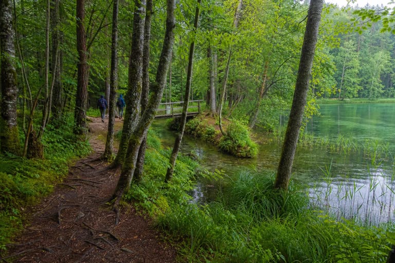
VSTT says that Mošos Hillfort can be reached on foot along the Skrebio Forest nature trail. The exact map marker identifies the hillfort itself, not a confirmed car park or the start of the whole trail. Timber steps lead to the upper part, so the site is not step-free. Save the official route orientation before travelling and follow signs and any access restrictions on site.
The official sources checked publish no separate hillfort ticket, ticket desk, or fixed opening hours. This is a woodland site without guaranteed lighting or daily surface maintenance. A dry day and sturdy footwear make the slopes easier, while rain increases the risk from mud, roots, and the slippery ditch edge.
Do not leave the prepared steps for the steeper slopes, disturb the cultural layer, or walk over barrow mounds. Mošos Hillfort matters not only for its upper platform but for the surviving relief, settlement, stream valley, and woodland setting.