- Place
- Vilkija Rural Eldership, Kaunas District Municipality
- Region
- Kaunas Region
- Type
- hillfort with a viewpoint
- Address
- Ringovė village, Vilkija Rural Eldership, Kaunas District
- Coordinates
- 55.05013, 23.52164
- Visit duration
- 1-2 hours for the earthworks, foot, and Nemunas valley views
- Best time
- a dry period from May to October; steep slopes and the natural approach can be slippery after rain
Pilikė Hillfort, Linksmasis kalnas
Ringovė Hillfort above the Nemunas valley
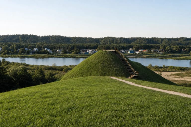
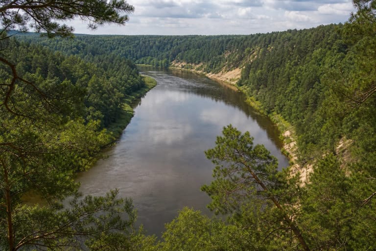
Ringovė Hillfort stands on a promontory on the right bank of the Nemunas, formed by the Ringovė and Krestinava ravines. It lies in the Ringovė Entomological Reserve, so the wooded river-valley setting and protected insect habitats matter alongside the earthwork itself.
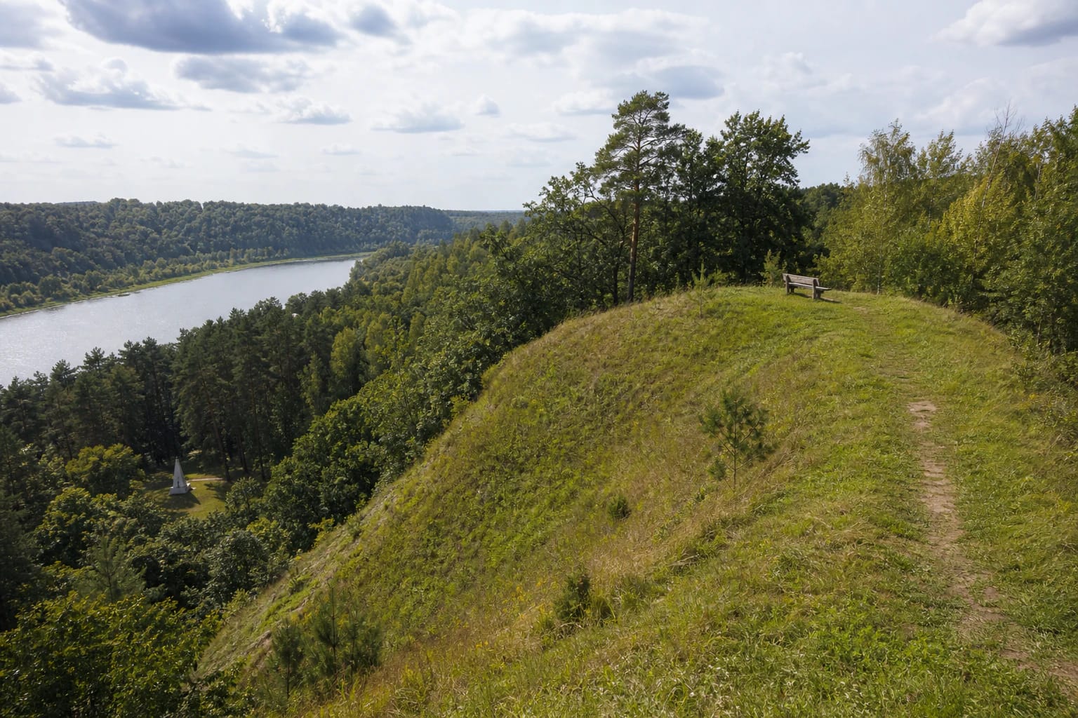
The hillfort is also called Pilikė and Linksmasis kalnas. The official description mentions a viewpoint on the summit, community events, and Poetry Spring gatherings; at the foot stands a white Tėviškės angelas, or Fatherland Angel, with the Columns of Gediminids.
The official map point is 55.050129, 23.521645. It identifies the hillfort area, but heritage condition, trail safety, and access must be assessed through current signs, weather, and official notices.
Summit, rampart, and steep slopes
The Lithuanian Hillforts description presents the summit as an elongated quadrilateral promontory about 135 metres long and 32 metres wide. A hollow lies in its centre, so the top is not one uniformly flat platform.
The northern part has a rampart described as about 3.5 metres high, 19 metres wide, and 17 metres long, with a ditch about 4 metres wide and 0.5 metres deep in front. A terrace remains on the western and southern sides, adding to the defensive relief.
Steep slopes about 20-30 metres high surround the hillfort and are wooded in places. Follow the existing approach, do not climb the rampart from the side, and do not slide down the slopes: these actions risk both visitors and the archaeological ground.
Ringė Castle in a 1364 chronicle
The Kaunas District description associates Ringovė Hillfort with the wooden Ringė Castle mentioned in a chronicle from 1364. This is important to the site's historical story, but there is no reconstructed castle building on the summit today.
Sources describe the hillfort as an important monument to Lithuania's struggles against the Crusaders. The fortification used a rampart and wooden palisade cutting the promontory off from the upland; the main rampart may have held a wooden tower, yard wall, and a terrace with a second defensive wall.
Treat these elements as an archaeological and historical-source interpretation. What visitors see is earthwork, trees, and valley, not a reconstructed medieval settlement; digging for finds or collecting objects is prohibited.
The monument at the foot and a living local tradition
The white Tėviškės angelas, or Fatherland Angel, with the Columns of Gediminids at the foot is one of the site's modern landmarks. It helps identify the Ringovė landscape but is not a remnant of the medieval castle.
The Kaunas District description says that a pagan fire is lit at the summit altar during celebrations. This is a living local tradition: during events, follow the organisers' instructions, do not touch the fire, and do not make your own fires.
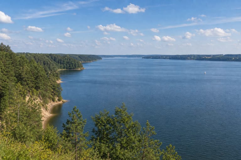
The Nemunas valley view and community gatherings give the place a present-day role. It remains a heritage site in nature, so leave no litter, do not disturb the ramparts, and respect visitors seeking a quiet landscape.
Planning a visit
The approach landmark is Ringovė village in Vilkija Rural Eldership. The 55.050129, 23.521645 coordinate helps locate the official site card, but it does not guarantee a specific parking area or every road surface; leave a vehicle only where parking is lawful.
Allow 1-2 hours for the earthworks, monument at the foot, and valley views. After rain, the natural approach and steep slopes can be slippery, and the summit edge needs care; children and dogs require close supervision.
Check weather and local access before travelling and wear sturdy shoes. Do not climb the ramparts, cross slopes, enter closed private land, or try to descend to the Nemunas simply because the river is visible from above.