- Place
- Alsėdžiai, Plungė District Municipality
- Region
- Samogitia
- Type
- a hillfort dated broadly from the first millennium to the thirteenth century, with a rampart and a community events valley at its foot
- Address
- Platelių Street, Alsėdžiai, Plungė district
- Coordinates
- 56.03278, 22.04250
- Visit duration
- 30-60 minutes to examine the earthworks, summit, and events valley
- Best time
- in dry weather and daylight, when the steep grassed slope is safer and the rampart easier to read
Žvėrinyčia, Žvėrinčius, Alsėdžių piliakalnis
Žvėrinyčia is the hillfort beside the pond, not Alkos Hill
The Cultural Heritage Register records Alsėdžiai Hillfort, called Žvėrinyčia, under unique code 16307. It lies in the north-western part of Alsėdžiai, beside Platelių Street, on the right bank of an unnamed tributary of the Sruoja. The archaeological description already calls the water body at this point a pond. The coordinates 56.032778, 22.0425 mark the hillfort itself, not a dedicated visitor car park.
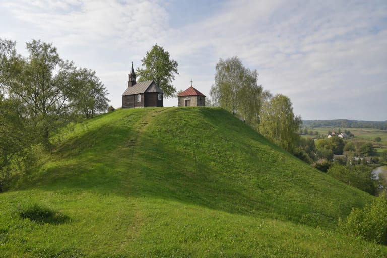
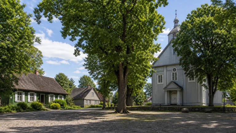
Žvėrinyčia should not be confused with Alkos Hill in central Alsėdžiai. The Cultural Heritage Department states clearly that the timber Church of the Immaculate Conception of the Blessed Virgin Mary stands on Alkos Hill. Žvėrinyčia is a separate rise farther to the north-west, beside the pond and the community events valley. The distinction matters because some brief accounts collapse the hillfort, the bishops' manor, and the church hill into what appears to be one place.
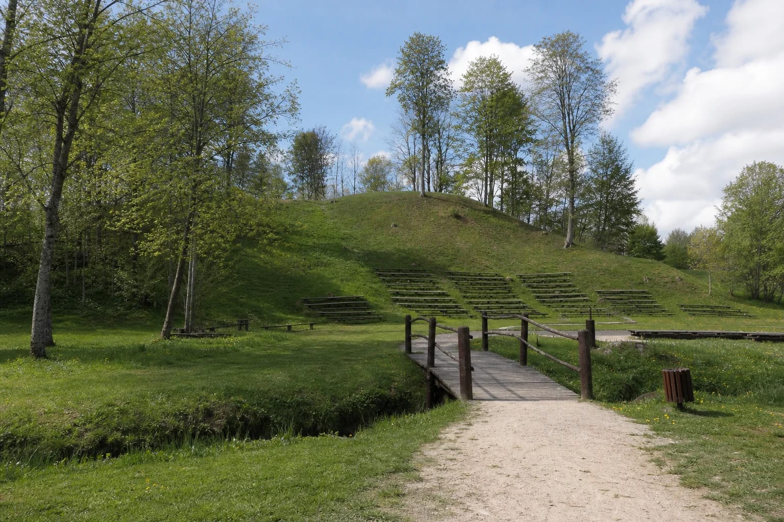
The foot of the hill is now easy to recognise by its maintained meadow, timber footbridge, rows of outdoor benches, and open-air stage. These are not archaeological reconstructions. They belong to a modern public space used by the Alsėdžiai community, while the protected monument is the hill rising above them.
The summit is small, but the slopes and western rampart remain legible
The 2012 archaeological report describes a rectangular summit aligned north-west to south-east, measuring 18 metres long and 40 metres wide. A rampart about 1.5 metres high and 12 metres wide stands at its western edge. Slopes facing the pond and former stream channel are steep and reach 8-9 metres, making this compact landform appear taller and more defensible from below than its summit dimensions alone suggest.
The current official visitor description gives a different shape: a roughly triangular summit measuring about 40 x 30 metres. The discrepancy may result from different ways of measuring and describing altered edges. The eastern part of the summit has been cut away, the northern slope is eroded, and the south and south-west side has been deformed. This page follows the specialist report's 18 x 40 metre dimensions while making the disagreement between sources explicit.
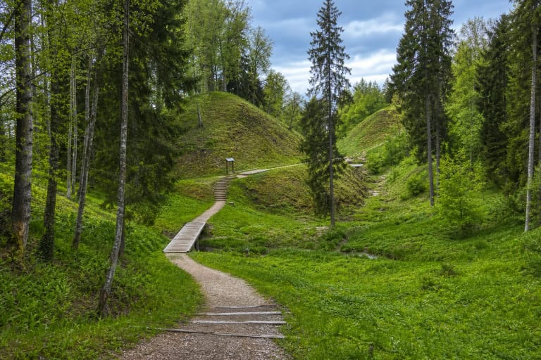
There are no masonry ruins, reconstructed castle, or timber defensive walls on Žvėrinyčia. The landform itself is the principal exhibit: the level summit, the rise of the western rampart, and the slopes falling towards the water. Grass covers the summit and deciduous trees grow on the sides, so the best way to read the rampart is to walk around the top slowly without descending directly over eroded ground.
The castle name recorded in 1253 is important, but its location here is unproven
Alsėdžiai first enters written sources in 1253 under the forms Alizeyde and Alileide. The thirteenth-century document associates the place with the Curonian land of Ceklis and one of its castle districts. Researchers and local accounts have consequently proposed that this castle could have stood on Žvėrinyčia. It is a reasonable geographical hypothesis, but the document provides no modern coordinate, and the hillfort itself has not been excavated in a way that conclusively joins it to the 1253 name.
The hillfort is generally dated from the first millennium to the thirteenth century, but this broad range is a chronological assessment of the monument, not an excavated sequence documenting continuous occupation. A cemetery known as Dokšo rėžis, dated to the tenth-thirteenth centuries, lies about 1 kilometre north. It is important evidence for the medieval settlement context around Alsėdžiai, but it does not in itself prove that a particular person buried there lived on the hill or that the Alizeyde castle occupied this exact summit.
Older literature mentions two Roman coins and a Scandinavian coin struck in 1343 as finds from near the hillfort. The 2012 report repeats those notices from an early publication, but no controlled find circumstances are given. The coins therefore cannot serve as secure direct dating evidence for the summit or proof of the castle's identity.
The 2012 test pits examined the wet foot of the hill, not its summit
The field evaluation led by Darius Kontrimas in 2012 was prompted by infrastructure planned at the foot of the hillfort. Thirteen test pits, each measuring 1 x 1 metre and totalling 13 square metres, were dug north and north-east of the hill, across the tributary. This was a wet, almost level meadow where a stage, sports and leisure facilities, and an electricity cable had been proposed. The investigation did not cover the hillfort summit or rampart, so a conclusion about this low ground is not a conclusion that the entire hillfort lacks archaeological deposits.
No archaeological occupation layer of significance was found in the test pits. The investigators recorded alluvial and erosion deposits, high groundwater, and ground subject to flooding by the tributary. Such a wet area on the northern side would have been unsuitable for a permanent settlement. The report suggests looking for a possible old settlement south of the hillfort, although construction in the town and the creation of ponds may have heavily disturbed that ground.
Only isolated objects were recovered: a fragment of animal bone or antler that may have been worked, the base of a wheel-thrown pot, and the corner of a green-glazed stove tile. The pottery and tile were dated to the sixteenth-seventeenth centuries and tentatively linked with the episcopal manor, but the report stresses another possibility: road construction may have redeposited them from the town. These finds confirm neither the thirteenth-century castle nor a bishops' residence on Žvėrinyčia.
The name Žvėrinyčia belongs to the later story of the bishops' manor
The Cultural Heritage Department documents that Alsėdžiai passed to the Diocese of Samogitia in 1421 and that a manor established in the town between 1463 and 1471 became an episcopal residence until the middle of the nineteenth century. Citing an interpretation by archaeologist Vladas Žulkus, the archaeological report raises the possibility that the early residence occupied the hillfort. Until investigation of the summit produces supporting evidence, that possibility should not be turned into a statement that bishops' buildings certainly stood on Žvėrinyčia.
The current official Plungė visitor description explains the names Žvėrinyčia and Žvėrinčius through an animal enclosure or menagerie maintained within the bishops' manor estate from the seventeenth century, holding both local and exotic animals. This explains the later place name; it does not describe the hillfort's function in the first millennium or thirteenth century. Three layers are worth keeping separate: the old defensive landform, the later history of the episcopal manor, and today's community space at the foot of the hill.
In 2018, Plungė District Municipality announced a visitor-improvement project for Žvėrinyčia, with aggregate and terraced paths, a viewing platform, repairs to a culvert, and handrails among the planned works. More recent photographs in the official visitor catalogue show a maintained meadow, bridge, paths, rows of benches, and a stage. Even so, an old project announcement does not guarantee that every planned element remains in identical condition on the day of a visit.
How to approach and visit Alsėdžiai Hillfort safely
Approach the hillfort from Platelių Street. The clearest landmark is the green Žvėrinyčia valley with its open-air stage, benches, and a timber footbridge over a narrow water channel. Reach the summit only by an existing path or the locally marked approach. Do not climb straight up the eroded slope or through the tiers fitted with benches, because this damages both the turf and the archaeological landform.
The meadow and paths at the foot of the hill are considerably gentler than the hillfort slope, but no official continuous step-free route to the summit is published. The bridge, aggregate surface, grass, gradient, and soft ground after rain may hinder wheelchair users or anyone who finds climbing difficult. If reaching the top itself matters, ask Alsėdžiai Eldership or Plungė District Municipality to confirm the current approach and available assistance before travelling.
As of 20 July 2026, no reliable official source published permanent opening hours, a ticket price, or rules for a dedicated visitor car park. This is an open community space, but events may alter access, movement, and parking. Allow 30-60 minutes for a quiet visit, go in daylight, wear footwear with good grip, and check municipal notices for festivals or maintenance work before setting out.