Kačėniškė, Švenčionys District Municipality
Švenčionys District
Hillfort and nature trail
55.22100, 26.26200
1-1.5 hours
summer evening or autumn above Lake Mergežeris
Kačėniškė Hillfort Area
Hillfort between lake and upland
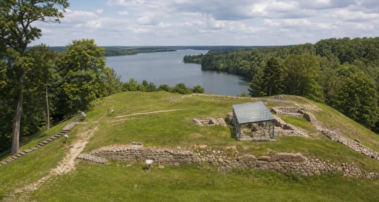
Kačėniškė Hillfort stands in Sirvėta Regional Park, on the western shore of Lake Mergežeris. It is not an isolated hill but part of the Čiūlėnai upland: an elongated ridge protected by the lake on one side, marshy lowlands, and a stream ravine.
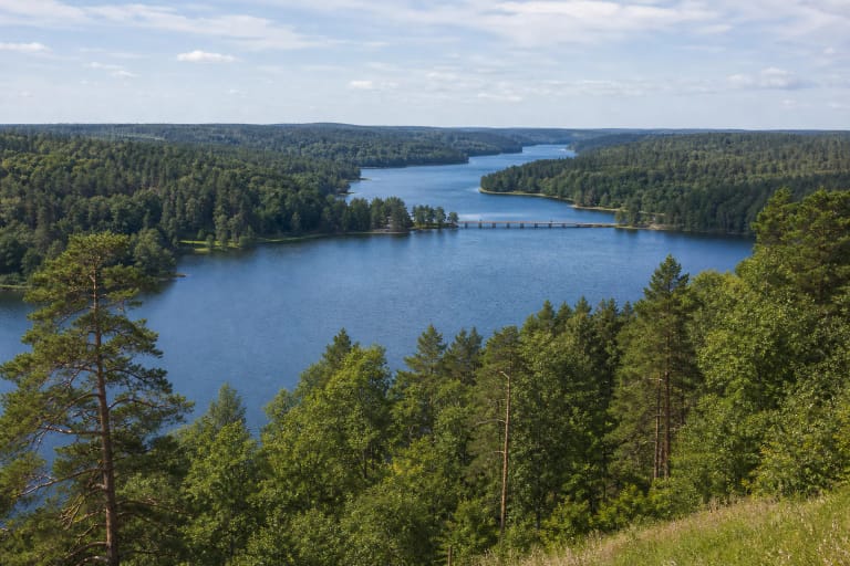
The value of the hillfort is visible not only from the top. Walking the trail shows how water, wetlands, and high ground created natural protection later used for settlement and defence.
Platform, slopes, and foot
VLE gives a hillfort platform of about 65 x 10 m and slopes 22-23 m high. It is compact but has strong relief, so even a short visit gives a clear sense of scale.
A foothill settlement of about 0.5 ha is mentioned on the south-eastern side. The archaeological object therefore extends beyond the summit, and visitors should protect the surrounding ground as well.
Two occupation stages
Sources connect the hillfort with the period from the end of the first millennium BC to the first millennium AD. Saugoma.lt mentions two cultural-layer horizons: late brushed pottery and early rough pottery periods.
This date range helps understand the site as a landscape used over time, not a one-time defensive platform. The lake relief and visibility may have mattered at different stages of life.
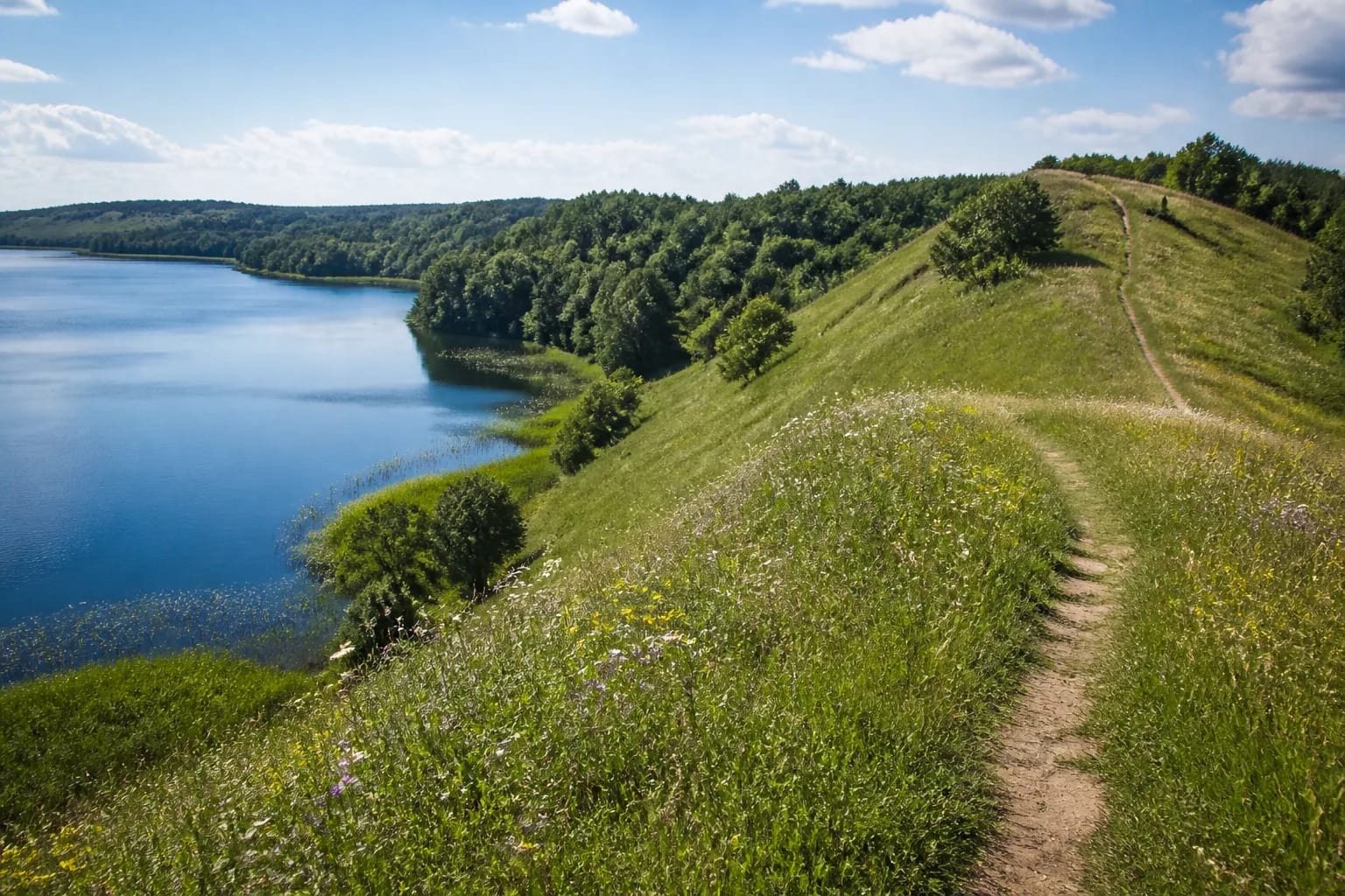
Nature trail and access
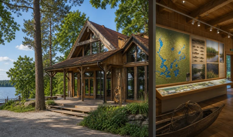
The hillfort is adapted for visitors with paths, wooden stairs, rest places with benches, fire sites, and bicycle stands. Official advice to search navigation for 'Kačėniškė hillfort nature trail' helps reach the correct start.
Do not stop only at the top. The Lake Mergežeris shore and the contours of the Švenčionys uplands across the water are part of the same panorama.
Protecting the relief
Slopes can be slippery after rain, and archaeological relief is sensitive to trampling. Use arranged paths, do not climb steep slopes, and do not shortcut across ramparts or wet edges.
If combining this with Sirvėta Mythological Trail or Aukštaitija lake routes, treat Kačėniškė as a calm 1-1.5 hour stop rather than a quick photo from the platform.