- Place
- Ežerėliai village, Šventežeris eldership, Lazdijai District Municipality
- Region
- Dzūkija
- Type
- a state-protected, nationally significant individual hillfort on an isolated hill
- Address
- Ežerėliai village, Šventežeris eldership, Lazdijai District
- Coordinates
- 54.22451, 23.62881
- Visit duration
- 30-45 minutes to examine the hill profile, summit, and north-western terrace, provided legal access has been confirmed before the trip
- Best time
- a dry, bright day in early spring or late autumn, when shorter grass and sparse foliage reveal the plough-softened outline most clearly
The exact listing marks the mound itself, not a verified entrance
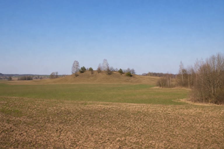
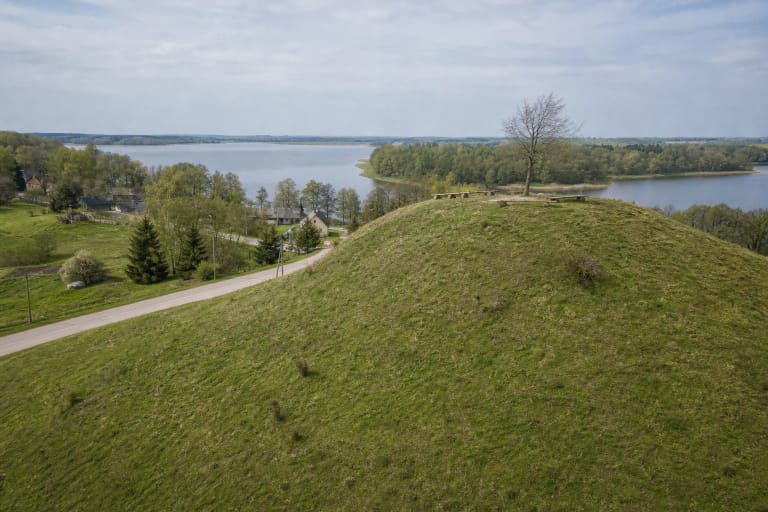
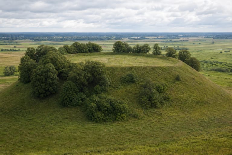
Ežerėliai Hillfort lies in Ežerėliai village, Šventežeris eldership, Lazdijai District Municipality. KVR locates it on a fairly large isolated hill. Register photographs taken in 2020 show open rolling fields and distant farmsteads around the mound, Scots pines on its western and north-western half, and an exposed eastern end. The attraction is a subtle earthwork, with no masonry ruin or reconstructed fortress.
The exact Google Maps place, ID ChIJL8CnQgDB4EYRugrCTdZX51U and CID 6190012790783216314, marks 54.2245102, 23.6288114. These coordinates are a representative point on the protected site, not an official trailhead, gate, or parking space. Use the listing to identify the hill from a distance, then verify the final approach separately.
On 15 July 2026, Google Maps displayed an average of 5.0 out of 5 from 1 review. That met the 4.5 selection threshold, but a single rating is exceptionally volatile: one additional score could alter the average immediately. It says nothing reliable about the condition of access, parking, or visitor facilities.
KVR's 2020 description records a 30 by 10 metre summit and a natural north-western terrace
The register describes a quadrangular summit extending from south-west to north-east, approximately 30 metres long and 10 metres wide. Its centre is convex and the south-western end rises slightly. Given the long history of ploughing, these undulations do not justify sketching an imaginary plan of ramparts or buildings.
The moderately steep slopes stand 9-13 metres high. On the north-western side, KVR identifies an unusual natural terrace that falls gently towards both ends. The word natural matters: the feature should not be presented as an excavated defensive ditch, outer bailey, or man-made bank. Trees cover this slope, while the rest of the mound has reverted to rough grassland and remains only partly wooded.
The registered property covers 11,790 square metres, with a visual protection subzone of 153,257 square metres. Its KVR code is 31929 and the record UUID is 32d81b77-5204-4474-b658-cb38d8d45091. This nationally significant individual property is state-protected for its primarily archaeological and secondarily landscape value. The visual-protection area is not a visitor zone and creates no right to cross the surrounding fields.
The 1954 survey produced different measurements, but it was not an archaeological excavation
Survey material dated 9 June 1954 described a natural hill more than two kilometres south of Šventežeris. A small marsh lay at its western foot, with cultivated fields on the other sides. The top was recorded as elongated and convex, roughly 37 by 15 metres and about 400 square metres in area. The hill stood about 15 metres high, with its western slope considered the steeper side.
No cultural deposit was observed and no archaeological artefacts were found on the summit or in its immediate surroundings during that surface reconnaissance. This is a meaningful negative observation, but not the result of a trench or an extensive excavation. Buried material may be covered, disturbed, or confined to another part of the site, so the 1954 inspection cannot prove that no archaeological remains survive anywhere on the mound.
The 37 by 15 metre top and 15 metre hill height recorded in 1954 differ from KVR's 2020 summit of 30 by 10 metres and slopes of 9-13 metres. Surveyors may have drawn the boundaries of the rounded top and foot differently, while prolonged cultivation also altered the relief. It would therefore be misleading to claim that the summit simply shrank by seven metres in 66 years.
Beginning of the first millennium is a register date, not a reconstructed castle history
KVR dates Ežerėliai Hillfort to the beginning of the first millennium. The 2005 Lithuanian hillfort atlas extract attached to the register spells out the same wording. It supplies no exact year of construction or destruction. This is a broad registered chronology and should be repeated at that level of precision.
The current register classifies Ežerėliai as an individual property. No separate ancient settlement forms part of it, so the phrase hillfort with settlement found in some tourism copy does not match the present KVR structure. The visual protection subzone around the mound is not evidence of a foot settlement either.
The public sources checked identify no pottery, metal artefacts, excavated defence section, named castle, or documented battle specific to this hill. Nor was a reliably recorded local legend found for Ežerėliai itself. Visitors may wonder why the landform entered the archaeological record, but inventing its inhabitants, ruler, or destruction would turn conjecture into false history.
Its protection history reflects steadily refined documentation, not the discovery of a new settlement
The register bibliography includes the report of the 1954 archaeological field survey, a 1962 monument passport, the 1975 archaeological atlas, and the 2005 Lithuanian hillfort atlas. Ežerėliai Hillfort entered KVR on 28 May 2008, one day after the act granting legal protection. These are stages in the documentation of one place, not separate hillforts.
The procedure to declare the property state-protected began on 29 February 2016, and the designation followed on 26 April. A heritage assessment council act dated 16 September 2020 clarified its registered information and valuable features. The environmental assessment for Lazdijai District's general plan likewise lists Ežerėliai Hillfort, code 31929, in Šventežeris eldership as a state-protected property.
This paper trail explains why the current description is more useful than a short legacy tourism note. The safest account follows the modern property class and protected landform, states the evidential gaps plainly, and treats the old dimensions as a distinct record of what surveyors saw in 1954.
The old atlas route is only an orientation aid, so present-day access must be checked afresh
The 2005 hillfort atlas described the route then in use: turn west from the Šventežeris-Gegutė road at the beginning of Ežerėliai, follow a field track for about 700 metres, then walk approximately 250 metres south across fields near the second homestead. This is a historical direction, not confirmation of today's road condition, ownership, or right to cross farmland. Do not drive it blindly or walk through crops on its authority alone.
No currently marked official footpath, public car park, or legal final right of way could be confirmed in the authoritative sources checked. Ask Šventežeris eldership or the landholder about present conditions before travelling. Leave a vehicle only where parking is legal and safe, never block farm tracks or home entrances, do not drive across fields, and respect crops and private land.
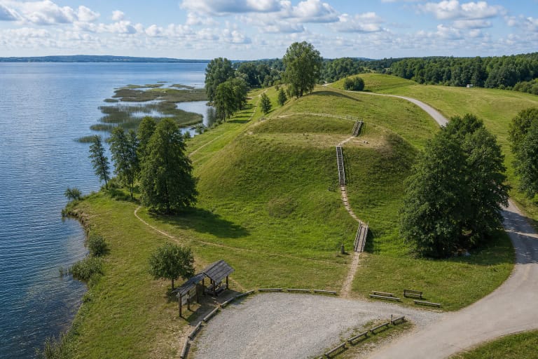
KVR publishes no visiting hours, admission charge, steps, viewing furniture, toilet, or step-free route for Ežerėliai Hillfort. The absence of a fee or schedule in the register is not a promise of unrestricted round-the-clock access. If access has been agreed, go in daylight and dry weather; uneven grass, ruts, and the slope are not reliably suitable for wheelchairs.