- Place
- Vilkaviškis District Municipality
- Region
- Suvalkija
- Type
- hillfort complex with an outer bailey and foothill settlement
- Address
- south of Piliakalniai village, Bartninkai eldership, Vilkaviškis district
- Coordinates
- 54.46501, 23.04763
- Visit duration
- 45-90 minutes
- Best time
- April-October in dry weather; the earthworks are easiest to read before the trees leaf out
Piliakalniai Hillfort near Bartninkai, Piliakalnių piliakalnis, Pilė
Piliakalniai Hillfort above the Aista
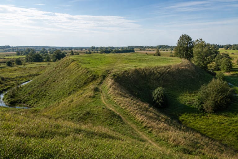
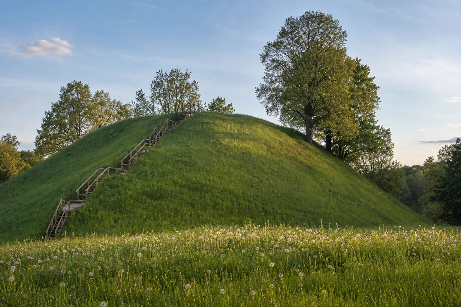
Piliakalniai Hillfort stands south of Piliakalniai village in Bartninkai eldership, on the left bank of the Aista stream. It is not simply a high scenic mound but a complex archaeological site with a fortified enclosure, an outer bailey, and a foothill settlement of approximately 4.5 hectares. VLE dates the complex from the middle of the first millennium CE to the thirteenth century.
Choose the Vilkaviškis District site carefully in navigation. Another monument with exactly the same Lithuanian name stands near Šunskai in Marijampolė Municipality, about 30 kilometres away. On 15 July 2026, the public Google Maps listing for the Bartninkai complex, place ID ChIJETCXHxQl4UYRqRhjYJhXPac, averaged 4.7 out of 5 from 88 reviews; its mapped point is 54.465012, 23.0476295.
Massive rampart, ditch, and outer bailey
The main enclosure is triangular and measures about 29 by 43 metres. It was protected by a rampart up to 7 metres high and 25 metres wide, whose outer face descends into a ditch approximately 8 metres wide and 1.5 metres deep. A second rampart, about 1 metre high and 7 metres wide, survives on the southeastern side; its slopes were faced with stone.
An outer bailey extends west and north of the hillfort. Its semicircular enclosure measures approximately 70 by 200 metres, while an arcing rampart almost 190 metres long follows the western and northern edge. These dimensions make it worth walking beyond the summit: the defensive design only becomes legible across the full terrain of the complex.
What the 1961 and 2002 excavations revealed
In 1961, an expedition from the Lithuanian Institute of History led by archaeologist Pranas Kulikauskas excavated 370 square metres and cut through the bailey rampart. A cultural layer up to 0.6 metres thick on the main enclosure contained building remains, stone paving, hearths, iron knives and an awl, clay spindle whorls, a stone whetstone, a brooch, rings, part of a neck-ring, pottery, and animal bones.
The cultural layer in the outer bailey was about 0.6-0.8 metres thick. Finds included a spearhead, knife, bone needle, brooch, belt-chain fitting, and several pottery traditions. In 2002, an expedition led by Gintautas Zabiela investigated another 2.4 square metres and found flat-bottomed pits probably used to store food. Together, the evidence points to a long-lived community rather than a short-term refuge.
Jonas Basanavičius, Margiris, and the Pilėnai hypothesis
Jonas Basanavičius found a clay spindle whorl and pottery at the hillfort in 1909. He also considered whether the site might be linked to the defenders of Pilėnai and Duke Margiris in 1336; local interpretations drew additional support from the nearby place names Peleniai and Margai.
No direct archaeological or written evidence identifies Piliakalniai Hillfort as the Pilėnai named in the chronicles. The Margiris connection must therefore be presented as a hypothesis or local tradition, not as established history. The documented complex is important without that legend: it was a fortified settlement with an outer bailey, a long archaeological sequence, and abundant evidence of daily life and defence.
How to visit and what to notice
Piliakalniai is an outdoor cultural-heritage site. The official register sources do not list tickets or fixed opening hours, so visit in daylight and check current weather and access conditions before travelling. A visitor path and timber stairs have been installed, but grassy slopes and steps can be slippery after rain.
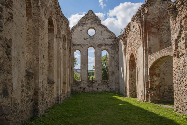
Allow at least 45 minutes. Climb to the enclosure, study the great rampart from the side, and continue along the edge of the outer bailey. Do not dig, use a metal detector, or erode the slopes, because much of the archaeological record remains underground. The hillfort combines naturally with the Jonas Basanavičius Birthplace in Ožkabaliai, the ruins of Bartninkai Church, or Pajevonys Hillfort.