- Place
- Stirniai, Lentvaris Eldership, Trakai District Municipality
- Region
- Trakai District
- Type
- tentatively dated mid-first-millennium to early-second-millennium hillfort in the Saidė Landscape Reserve
- Address
- Stirniai, Lentvaris Eldership, Trakai District
- Coordinates
- 54.71905, 25.04569
- Visit duration
- 40-60 minutes; about 1.5 hours when combined with the Saidė and Neris confluence
- Best time
- dry spring or autumn, when thinner foliage makes the earthworks easier to read
Stirniai Hillfort by the Saidė, Stirniai Castle Hill, Culture Register 24147
The hillfort occupies a high Neris terrace promontory, not a detached hill
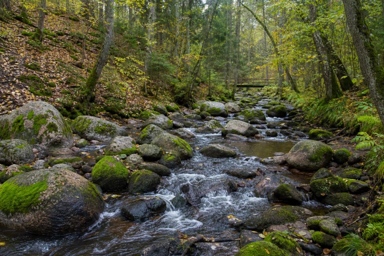
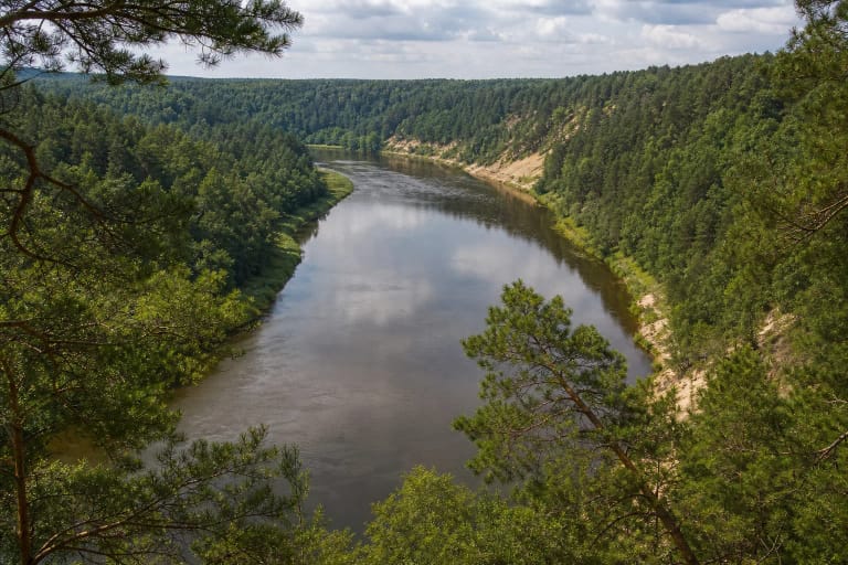
Stirniai Hillfort's defensive logic becomes clearest when the entire landform is considered. It occupies a promontory of the upper Neris terrace, bounded by the Neris valley on one side and the Saidė valley on the other. Natural slopes rise to 24 metres, reducing the need to reinforce every side equally.
The summit is an irregular quadrangle aligned from south-east to north-west, measuring about 75 by 27 metres, with a slightly raised centre. It is not a level viewpoint park: undulations, edge terraces, and unequal ends are the principal signs of an archaeological landscape.
Google Maps coordinates 54.7190471, 25.0456914 mark the hillfort itself. Cars must be left near the Saidė Nature Trail entrance, whose pin lies slightly farther west; a woodland path and stairs complete the approach.
Defences were concentrated where the promontory joined higher ground
At the north-west end, two low banks, shallow ditches, and an upper-slope terrace defended the summit. The south-east end, where the natural hill joined higher ground and was easiest to approach, received a much more complex sequence of banks, ditches, and terraces.
Surviving measurements turn vague bumps into a readable system. The principal bank at the south-east end of the summit is about 23 metres long, up to 1.2 metres high, and 8 metres wide. Further banks and ditches can be traced beyond it, while stones up to 1.2 metres across are visible in one embankment.
The Culture Register records the site under unique code 24147, formerly A1152. This is protected archaeological relief, so the banks are not a place for cycling, digging, fires, or shortcuts down steep slopes.
The 1995 discovery began with a stone, but the altar theory did not survive scrutiny
The Neris Regional Park account says that in 1995 naturalist Professor Ričardas Kazlauskas noticed a boulder on the slope while exploring the Saidė area. It resembled a cup-marked altar stone, and the subsequent search for traces of human activity led to recognition of the previously undocumented hillfort earthworks.
Archaeologists judged the depressions in the boulder to be natural rather than an artificial altar bowl. A group of stones arranged in a rough circle is mentioned nearby among old oaks, but its use as a sanctuary has not been demonstrated. Altar and sanctuary must therefore remain hypotheses, not established history.
Residents had said that a castle stood on the hill when Trakai was Lithuania's capital. This is a local tradition. Without excavation and direct finds, the hillfort cannot reliably be tied to a named castle, ruler, or event in a chronicle.
The date remains broad because no comprehensive excavation has taken place
The official Neris Regional Park heritage account tentatively places Stirniai in the middle of the first millennium on the basis of its powerful defences. Hillfort catalogues use a broader range from the mid-first millennium to the early second millennium. This is not necessarily a contradiction; it signals that visible form, rather than a stratified excavation, underpins the estimate.
Protected-area information explicitly says that archaeologists have not excavated the hillfort. Claims about undiscovered buildings, weapons, pottery, or a destruction layer would therefore be unjustified. The secure evidence is its topography, banks, ditches, terraces, and registered archaeological status.
The date of recognition does not mean that local people were unaware of the hill. In 1995, specialists recognised and confirmed its archaeological function; the landform and stories attached to it had existed in local memory earlier.
Saidė Trail reaches the summit, but the short approach still needs care
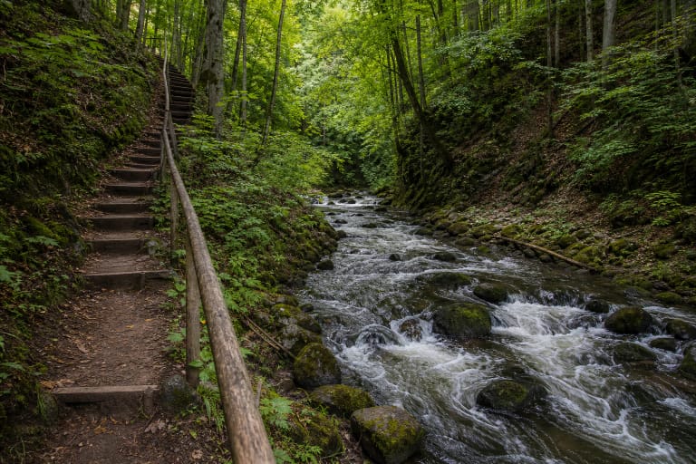
The hillfort is reached from the Saidė Nature Trail entrance. A long timber stairway climbs the slope, and the route then crosses the grassy summit and surviving earthworks. Dense foliage can screen the Neris for much of the year, so the reward is the promontory itself and a wooded-valley panorama rather than a guaranteed open river view.
On 27 July 2026, the official object pages did not list a separate compulsory ticket or opening hours. It is an open protected site, but paths and stairs may be repaired or temporarily closed. After heavy rain, thawing weather, or strong winds, check park notices and never bypass barriers.
Allow 40-60 minutes for the hillfort alone. If you also walk to the Saidė and Neris confluence, plan about 1-1.5 hours. Firm footwear matters even on the summit, where low banks and ditches can be difficult to see through grass.