- Place
- Naujoji Vilnia Eldership, Vilnius City Municipality
- Region
- Vilnius Region
- Type
- wooded hillfort on Barsukynė Hill with a terraced platform, ramparts, and ditches
- Address
- Around A. V. Kojelavičiaus Street, Naujoji Vilnia, Vilnius
- Coordinates
- 54.69969, 25.36711
- Visit duration
- 45-90 minutes to find the hillfort, climb it, and read the platform relief; longer when combining it with a Vilnia valley route
- Best time
- a dry leafless day from late autumn to early spring, when ramparts and the valley direction are easier to see; summer is atmospheric but denser
Naujoji Vilnia Hillfort, Barsukynė Hill, Kučkuriškės Mound
Kučkuriškės, Naujoji Vilnia Hillfort, and Barsukynė Hill are one site
Official and archaeological sources use several names for Kučkuriškės Hillfort: Kučkuriškės, Naujoji Vilnia Hillfort, and Barsukynė Hillfort or Hill. It is not three mounds. The Cultural Heritage Register code is 33088, and the hillfort catalogue gives the coordinates 54.699694, 25.367111.
The hillfort lies in Naujoji Vilnia Eldership on the eastern edge of Vilnius. The Pavilniai-Verkiai Regional Parks Directorate describes it as the highest hill in the surrounding hilly Vilnia valley landscape, bordered by the Vilnia on the south and by hollows and forest elsewhere.
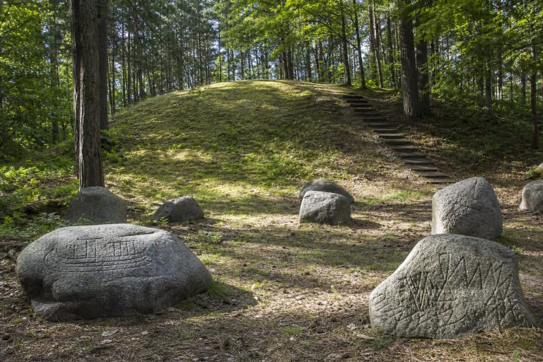
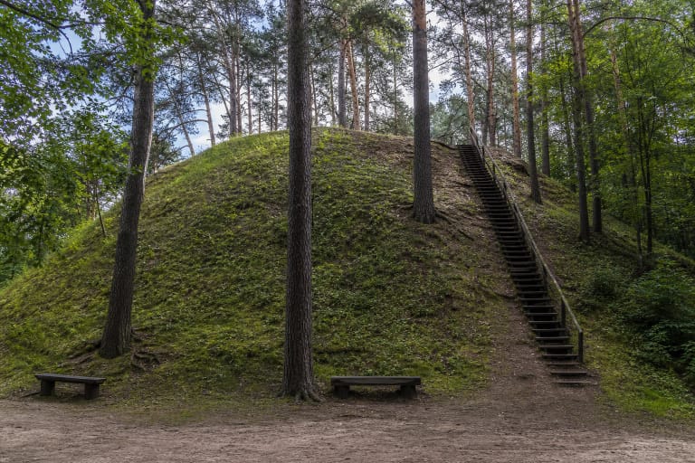
Use the exact name and coordinates when searching because the Kučkuriškės paper-factory complex, Kučkuriškės dam, and Naujoji Vilnia burial-mound cemetery are separate places in the same landscape. This hillfort is not beside the cemetery's stairs or information board.
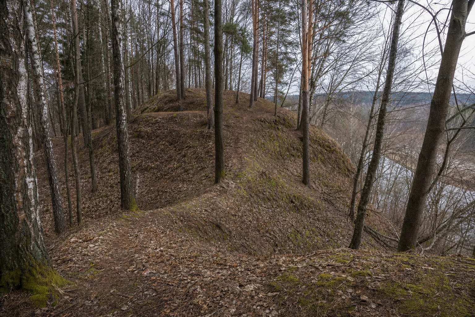
An uneven platform and ramparts remain beneath the trees
The Lithuanian hillfort catalogue describes an elongated platform of about 88 by 20 metres running east-west. The regional-park description highlights an irregular terraced upper area about 55-60 metres long and roughly 10 metres wide. The figures may emphasise differently measured parts of the platform and its terraces, so on site it is more useful to read the relief than to look for one perfect rectangle.
Natural hollows, terraces, ramparts, and ditches remain at the western and eastern ends of the platform. The catalogue describes ditches up to several metres wide and deep and several low ramparts, while the park directorate gives the slopes as 30-60 metres high. Today leaves, moss, pines, and deciduous trees partly cover these earthworks.
The platform is not a level lawn. Roots, leaf litter, and the edge of a steep slope can hide the beginning of a ditch, especially in wet or snowy weather. Do not cycle over ramparts or cut directly across the slope: the landform is the archaeological heritage itself.
The hillfort was recognised recently, but dates to the beginning of the first millennium
The archaeological article Newly Discovered Hillforts in Vilnius places Kučkuriškės among sites identified in Vilnius in 2007-2008. The hillfort catalogue states that D. Stončius found the site on 30 January 2009. This helps explain why it was absent from clear city visitor maps for so long.
The catalogue dates the hillfort to the beginning of the first millennium, while the regional-park directorate gives the broader range from the first millennium BC to the first millennium AD. The safest description is an early-first-millennium hillfort, not an attribution to a particular tribe or ruler that the checked sources do not identify.
Burnt stones and small fragments of possibly brushed pottery were found in the southern part of the platform, but this is not a museum with surviving buildings. Visitors see earthwork traces and woodland relief rather than a reconstructed castle.
The Vilnia valley explains the choice of this hill
The southern slope descends towards the Vilnia valley, while hollows and forest protect the mound on the other sides. This setting explains the site better than a height figure alone: a commanding high ground was harder to reach, and slopes and ditches reinforced the built earthworks.
The wooded platform does not offer the open panorama of the developed viewpoints elsewhere in Pavilniai. Its value is reading the terrain: notice where the terrace becomes a ditch, where a rampart closes the platform, and how the low valley appears between the trunks.
Kučkuriškės Hillfort fits naturally with the Naujoji Vilnia burial-mound cemetery and Rokantiškės castle site, but these are separate places. Do not attribute the cemetery's stone display, stairs, or information boards to Kučkuriškės Hillfort.
Plan the search and climb with care
The hillfort catalogue gives an approximate approach from A. V. Kojelavičiaus Street: turn north towards Rokantiškės, drive about 400 metres along the road, then walk roughly 250 metres through the forest after the road bends left. This is an orientation description, not a guarantee of today's trail or a parking place. Check road signs, legal access, and conditions before travelling.
The official sources checked publish no separate ticket, desk, opening hours, stairs, or accessible route. The final section is through woodland, and roots and steep slopes make the site unsuitable for wheelchairs or unstable footwear. After rain, leaf fall, or snow, the climb may be slippery; children need close adult supervision near the slope.
Kučkuriškės is a wooded archaeological site whose access and visibility depend on the season, vegetation, and trail condition. Stay on the existing route rather than entering steep slopes, and take extra care on steps and natural ground after rain.