- Place
- Šiauliai District Municipality
- Region
- Kurtuvėnai Regional Park
- Type
- wooded archaeological hillfort on a glacial esker
- Address
- Pageluvis Forest, Šiauliai District
- Coordinates
- 55.80300, 23.10037
- Visit duration
- 35-60 minutes; longer with the Pageluvis lake-country route
- Best time
- spring or autumn, when foliage hides less of the esker relief
Barsukynas Hillfort, Barsukynas I Hillfort
A hillfort on the highest part of the Barsukynas esker
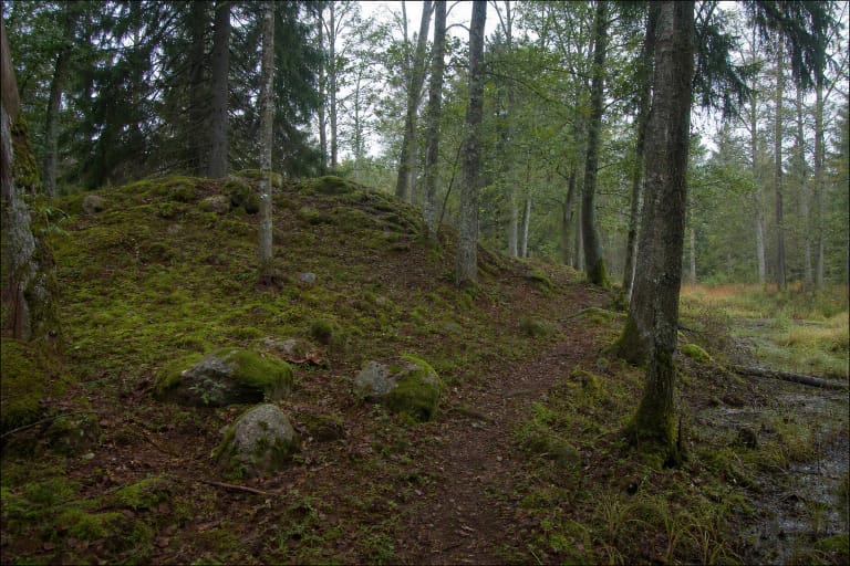
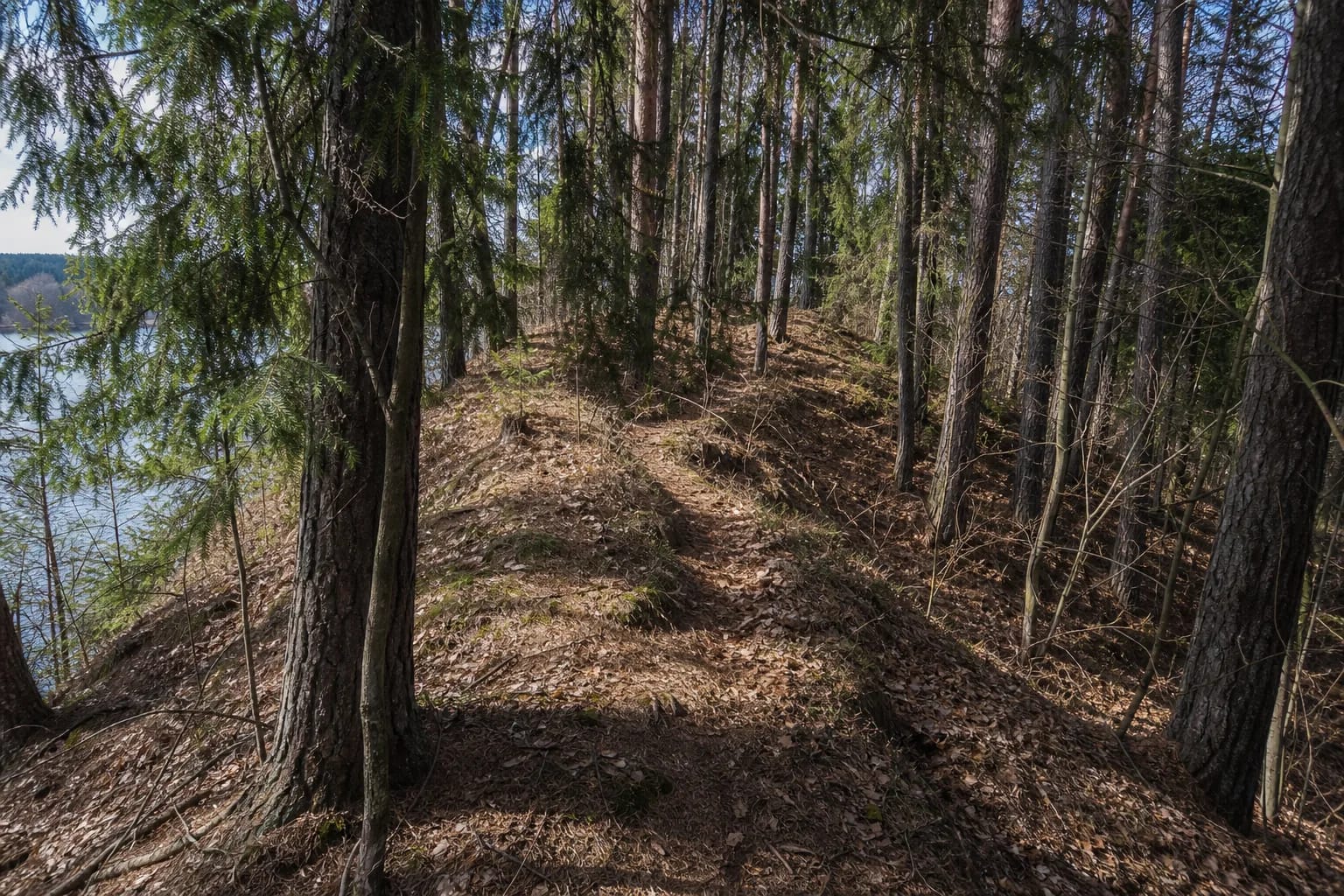
Pageluvis I uses the natural defence of a narrow esker crest. An esker is a ridge of sand and gravel deposited by glacial meltwater, so the long, narrow landform matters as much as the small summit platform.
The Barsukynas esker is about 700 metres long and up to 24 metres high. This geomorphological natural heritage object was declared state-protected under environment minister order No. D1-300 in 2018.
The coordinate marks a representative forest point, not a car park. Access and the trailhead may change; follow current park signs and never block forest roads.
Several rings of earthworks surround a small platform
The official description notes that the platform is small but protected on all sides by ditches and banks. At the eastern edge it identifies a first ditch about 2.5 m wide, a bank beyond it and another outer ditch.
Pageluvis I, Cultural Property Register code 42942, is dated to the first millennium and the beginning of the second millennium. The dead trunk known as the Rebels' Pine survives on the eastern bank; local tradition says insurgents swore an oath there in 1863, but this is a story rather than a documented event at the site.
Forest growth, erosion and later human activity have altered the relief. Do not dig into the banks or interpret every hollow as archaeology; look for the coherent sequence of platform, ditch and bank.
Pageluvis I and II are separate places
Pageluvis II lies nearby and is dated to the early second millennium. Clear traces of fortification are absent, leading the official description to suggest that construction may have begun but never been completed.
This page's coordinate is for Hillfort I. To see both, use the park route and separate on-site directions rather than assuming the two names identify one hill.
A 3.1 or 6.6 kilometre route from Lake Geluva
The 3.1 km Pageluvis Lake District Short Trail, route 5-M, begins at Lake Geluva beach at 55.79776, 23.103825. It crosses both Pageluvis hillforts and the Barsukynas esker, passing Lakes Barsukynas and Dubukas; a detour reaches the bogging Lake Niauka.
The 6.6 km route 5-D starts at the same beach. Beyond the short-loop sights, it passes Lake Širva, the Zuikiškė Oak, Lake and stream Kurtuva, and Lake Bijotė, with optional detours to Juodežeris and Niauka.
This page's pin marks Pageluvis I Hillfort itself, not the trailhead at Lake Geluva beach. Choose a circuit for the available time and daylight, and check current trail conditions on the park website.
A forest approach and protection of archaeological relief
The official park routes list no separate hillfort admission, but a forest path is not a museum corridor. Slopes and the esker crest can be slippery after rain; wear grippy footwear, avoid the steepest slope and supervise children.
Do not drive onto the hillfort, dig, use a metal detector or light fires. It combines naturally with the Pageluvis lake landscape, but leave enough daylight for the return walk.