- Place
- Šilai Rural Eldership, Jonava District Municipality
- Region
- Aukštaitija
- Type
- hillfort with an associated settlement
- Address
- Piliakalnių St, Šilai, Šilai Rural Eldership, Jonava District
- Coordinates
- 55.12428, 24.32344
- Visit duration
- 30-60 minutes
- Best time
- in daylight from spring to autumn; grass and timber steps can be slippery after rain
Paberžė Hillfort
Paberžė in the Šilai landscape
Paberžė Hillfort with Settlement is a heritage site in Šilai, Jonava District. Heritage descriptions associate it with Paberžė village and the Paberžė stream, while the local visiting description calls the stream Beržanka. This overlap of place names matters when looking for the site: it is the earthwork near Šilai, not the museum with the same Paberžė name in Kėdainiai District.
The Cultural Heritage Register records the complex under the exact name Paberžė Hillfort with Settlement, unique code 23708, and gives it monument status. Its registered territory covers not only the visible summit but also the associated archaeological relief.
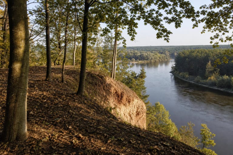
The hillfort occupies the left side of the stream valley. The valley surrounds the mound on three sides, while its north-eastern side connects to higher ground. Even at a modest scale, that setting makes the landform legible against the surrounding meadows.
A small summit and surviving earthworks
The Cultural Heritage Register describes a circular summit seven metres across, enclosed by a rampart. At the north-eastern end, the first rampart is 1.8 metres high and 10 metres wide, followed by a 19-metre-long ditch and further lower ramparts and ditches. Ploughing damaged or flattened some of these forms, so they now read as subtle relief rather than a regular fortress mound.
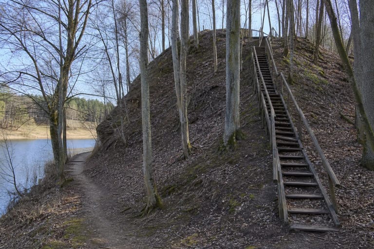
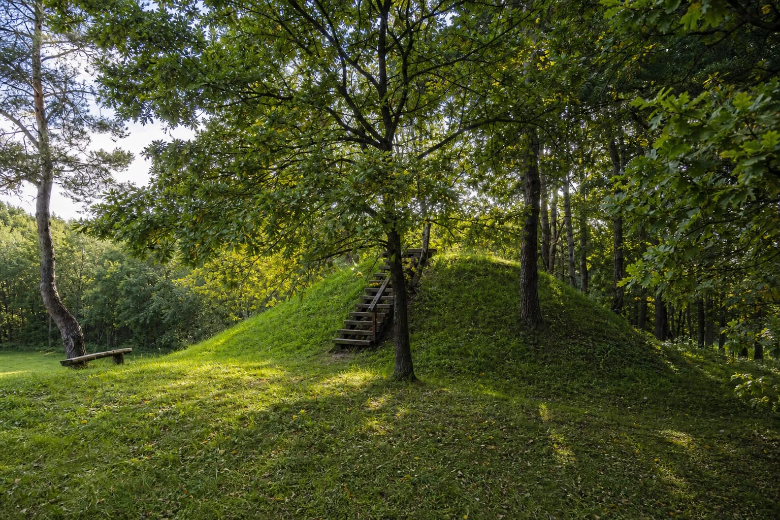
The site is best read through relationships rather than height: a grassy top, gently rising earthworks, and the edges of the valley. Timber steps cross one part of the slope and help visitors reach the summit without cutting new paths into the ground.
The associated settlement and an uneven chronology
The phrase “with a settlement” means that the protected place is more than the summit rampart. An associated settlement of about 1.5 hectares is described on the southern and northern sides of the mound. It presents the site as a lived and used landscape, not simply a lookout point.
Sources give different chronological markers for Paberžė: one local description mentions the eleventh to fifteenth centuries, while an older archaeological description links the site to the first millennium. It is therefore safer to describe a long period of use than to assign one exact construction date that the descriptions do not agree on.
The Beržanka valley and today’s appearance
Paberžė is not a mountain slope. Local descriptions call the sides moderately steep and up to about seven metres high. Because the scale is intimate, the site reveals itself best when walking around the mound and noticing how the earthworks meet the valley.
The mound is now grassy, with mature deciduous trees and pines around it, and timber steps add a modern visitor layer. There are no reconstructed walls or towers. Let the visible ramparts, valley, and settlement scale guide the historical imagination rather than an invented medieval building.
Visiting without wearing down the hillfort
Approach from the Jonava-Šilai direction, then use the Paberžė and Šilai place names as local landmarks. The coordinate marks the hillfort itself, not a guaranteed car park, so leave a vehicle only where it is lawful and does not obstruct traffic.
Allow half an hour to an hour to walk around the mound, use the steps, and understand its relationship with the valley. After rain, the steps and natural approach can be slippery. Do not cross the slopes, disturb the ramparts, dig, or collect finds.
The official visiting descriptions do not list a separate ticket office or admission charge. This is an outdoor heritage site, so daylight visits are safest and the quiet of the Šilai settlement should be respected.