- Place
- Ulbinai, Vydeniai eldership, Varėna District Municipality
- Region
- Dzūkija
- Type
- a nationally significant archaeological monument beside the Uosupis, known by the names Ulbinai, Čepelūnai, and Barčiai
- Address
- Ulbinai village, Vydeniai eldership, 65227 Varėna District
- Coordinates
- 54.16865, 24.69280
- Visit duration
- 45-75 minutes for the pine-covered mound, enclosure, terraced earthworks, and the cross commemorating Juozas Ulbinas
- Best time
- a dry spring or autumn day, when sparse undergrowth makes changes in the terrain easier to read; the enclosure offers more shade in summer
Barčių piliakalnis, Ulbinų piliakalnis, Čepelūnų piliakalnis, Ulbinai, Čepelūnai, Barčiai Hillfort
Three names identify one hillfort above the right bank of the Uosupis
Lithuania's Cultural Heritage Register uses the official name Ulbinų, Čepelūnų, Barčių piliakalnis, placing Ulbinai first. The Universal Lithuanian Encyclopedia leads with Barčiai and treats Čepelūnai and Ulbinai as alternatives. All three names refer to this one archaeological site in Ulbinai village, Vydeniai eldership, rather than three separate mounds. Its unique heritage code is 3694, and it has monument status at the national level of significance.
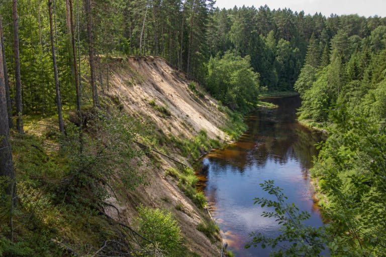
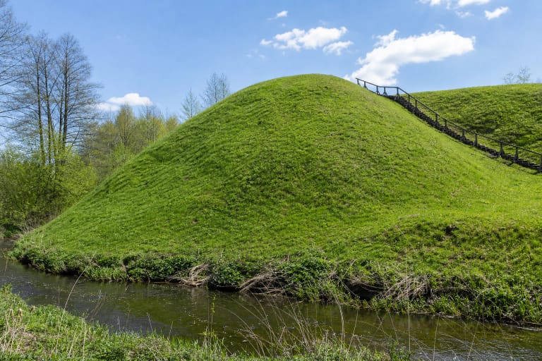
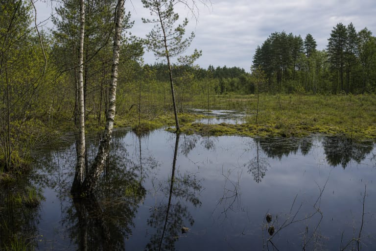
The mound stands above the right bank of the Uosupis. The updated register describes a substantial northeast-southwest hill encircled by the river's marshy valley to the southeast, south, and southwest. The encyclopedia instead describes valley hollows to the north, east, and south. This difference probably reflects the scale and orientation used by each description, so this page gives priority to the register's formal 2021 statement of valuable features.
The dedicated Google Maps listing titled Barčių piliakalnis marks 54.168649, 24.692802. On 15 July 2026, it averaged 5.0 out of 5 across 2 reviews. That clears the required 4.5 threshold, but a sample of two is exceptionally small and one new review could alter the average. A separate Barčiai Hillfort exists in Elektrėnai Municipality, so confirm Ulbinai and Varėna District when planning the route.
Two lines of ditches and ramparts defend the enclosure
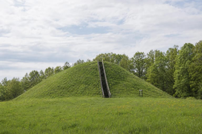
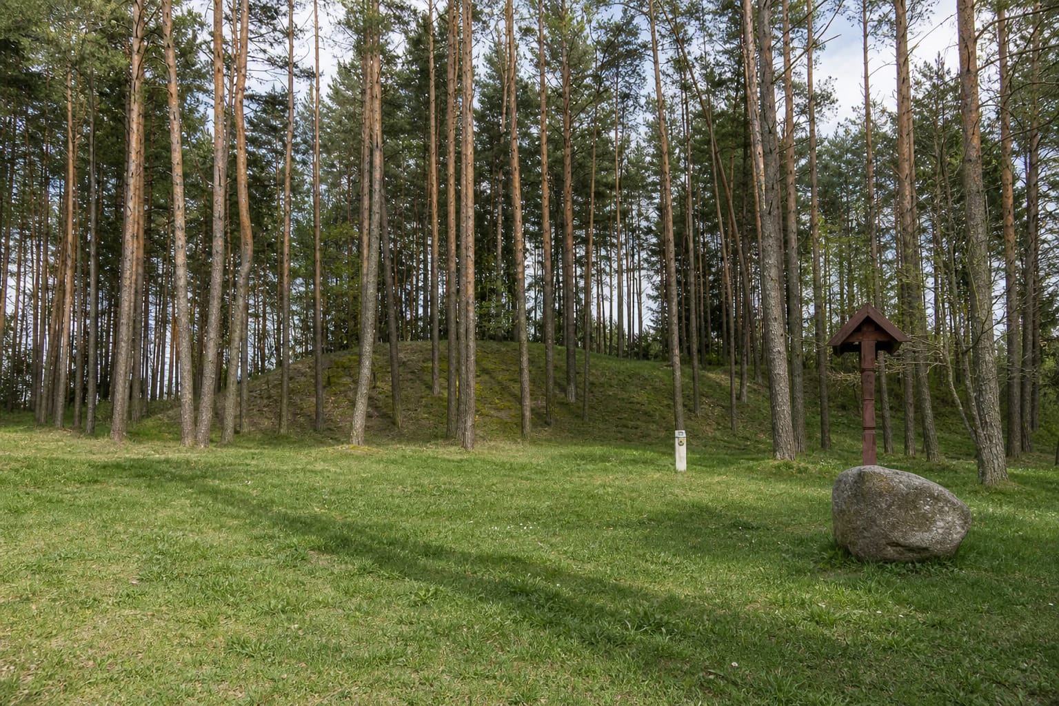
The enclosure recorded in 2021 is an irregular polygon about 45 metres long on a north-northeast to south-southwest axis and up to 30 metres wide. Its northeastern and southwestern ends are slightly higher. The older encyclopedia summary describes a roughly quadrangular enclosure about 50 metres long and 25-35 metres wide. These are not two enclosures, but different editions of the site's measurement and description.
On the western and southern slopes, a first ditch was cut about 1-1.5 metres below the enclosure. It is up to 4 metres wide and 1 metre deep. Beyond it rises a rampart about 8 metres wide and approximately 1.5 metres high, followed by a second ditch up to 8 metres wide and 0.5 metres deep and a second rampart about 8 metres wide and 0.5 metres high. Parts of these defences have slumped or become terraces on the north and east.
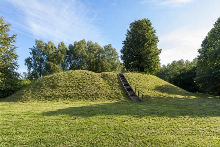
The register distinguishes a slightly hollow terrace approximately 30 by 20 metres on the north-northwestern slope and another, about 4 metres wide, around the northeast, east, and southeast. Steep to moderate slopes reach 16 metres. Ploughing, pits, and other ground disturbance have altered the relief, so not every rise among the trees is a separate rampart. The earthworks make most sense if you first walk around the foot and then compare them from the enclosure.
The 1890 finds are lost, but the archaeological deposit has been documented repeatedly
Wandalin Szukiewicz excavated approximately 64 square metres in the enclosure in 1890. He recorded a cultural deposit 0.3-0.8 metres thick and recovered handmade pottery, animal bones, and a flint axe. The encyclopedia places the material in the first millennium BC and the beginning of the first millennium AD, while the register gives the monument a broader span covering both millennia. The register also states plainly that the current whereabouts of the 1890 finds are unknown.
Reconnaissance boreholes were made in several parts of the hillfort in 1955. Those in the enclosure found a cultural deposit 0.3-0.4 metres thick. In 1983, Elena Grigalavičienė investigated a total of 5.5 square metres. No small finds were recovered, but a deposit up to 0.8 metres thick and patches of stone paving were uncovered; the register cautiously interprets the latter as possible fragments of former fortifications.
The present record characterises the deposit as dark, charcoal-rich earth up to 80 centimetres thick, with burnt stones, clay daub, animal bones, stone paving, and archaeological finds. The encyclopedia places remains of an ancient settlement at the southern foot, whereas the older hillfort atlas description locates an approximately one-hectare settlement with rough-surfaced pottery and a quern to the west. The register does not list it as a separate component, so its position and extent should not be presented as a precisely marked second attraction.
The excavation hollow, stone altar, and partisan memorial belong to different layers of the site
A hollow measuring approximately 7 by 5 metres survives at the southwestern edge of the enclosure. It is associated with the 1890 excavation and is ringed by a low bank formed from spoil thrown out of the trench. This is a mark left by archaeological fieldwork, not an ancient well or defensive pit. The register also notes that the enclosure was once ploughed and pitted.
In 2021, the register recorded a stone-built altar in the centre of the enclosure and timber benches at its northern edge. It does not classify the altar as an archaeological find or give it a date, so it cannot be presented as a surviving prehistoric sanctuary. It is an element of the site's more recent use set within protected ancient relief.
A timber cross at the northern foot commemorates partisan Juozas Ulbinas. It adds a twentieth-century memorial layer but does not date the hillfort itself. Varėna District Municipality reported that in June 2023 the grass was cut and raked, shrubs cleared, and the site prepared for a Statehood Day commemoration. This confirms community use, not identical maintenance conditions in every season.
Local roads reach the wooded mound, but the exact map pin is the safest guide
Barčiai Hillfort is not in the centre of Barčiai village. It stands within Ulbinai village territory, west of the settlement. Older route descriptions advise turning southwest from the Varėna-Dubičiai road before the Uosupis dam, following a gravel road for about 1.5 kilometres, then turning south beyond a small wood and continuing roughly 200 metres along a field track. Conditions and access can change, so use the exact listing and do not rely on an old written route alone.
Authoritative sources confirm neither a formal car park nor its surface or capacity. Leave a vehicle only where lawful, without blocking a local road or access for land users. The final approach and the mound itself are an uneven woodland environment; soil, pine needles, and slopes may be slippery after rain. Step-free access to the enclosure has not been confirmed.
The Cultural Heritage Register provides no visiting hours, while heritage and municipal pages list no gate, ticket office, or admission charge. Hours displayed by Google are not an official municipal guarantee. Visit in daylight, check current municipal notices before setting out, and avoid arriving during maintenance or an organised event.
Allow 45-75 minutes. From the foot, look for the terraces and double defensive line on the west and south; on top, distinguish the old excavation hollow from the benches and newer stone altar. Never dig, move stones, use a metal detector, or cut new paths across the slopes. The protected asset is not only the silhouette of the mound but also the cultural deposit beneath its surface.