Skuodas District Municipality
Skuodas region
hillfort with an outer ward, settlement, and burial-ground context
Puodkaliai village, Skuodas Eldership, Skuodas District
56.22910, 21.52470
30-60 minutes
spring to autumn, when the relief is easier to read and slopes are safer
Puodkaliai Hillfort with outer ward and settlement, Puodkaliai Hillfort and burial ground, Hillfort of the Puodkaliai Hillfort with outer ward and settlement
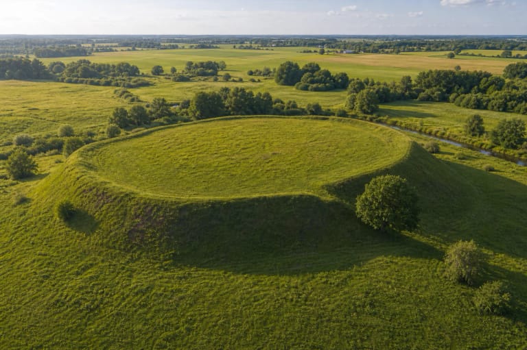
A hillfort by two rivers
Puodkaliai Hillfort is in Puodkaliai village, Skuodas District, on the left bank of the Bartuva and the right bank of the Erla, close to their confluence. The rivers are not only scenic background here - they help explain why the location could have been useful for defence, movement, and settlement.
In the Register of Cultural Property, the object is listed as the hillfort of the Puodkaliai Hillfort with outer ward and settlement, KVR code 3254. It is an archaeological monument of national significance and part of a wider protected complex.
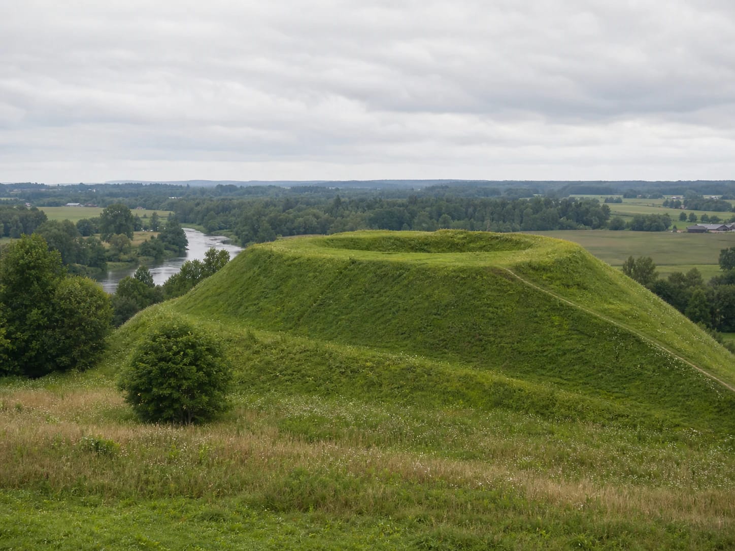
Ramparts, platform, and outer ward
VLE gives the hillfort platform as about 80 x 90 m. One of its clearest features is a rampart about 140 m long, up to 5 m high, and up to 17 m wide. Those dimensions make it clear on site that this is not just a small rise, but a more complex defensive structure.
The complex also includes an outer ward and a settlement. VLE mentions an approximately 2 ha settlement west of the outer ward, and a ninth- to thirteenth-century cremation burial ground about 0.65 km to the west. Puodkaliai is therefore not only a hillfort, but part of a wider landscape of settlement, defence, and burial.
Dates and the Skuodas connection
The Register of Cultural Property dates the hillfort to the first millennium to the thirteenth century. VLE dates the broader Puodkaliai hillfort and burial-ground complex more widely, from the first millennium BC to the thirteenth century AD. The difference shows that this was a long-used place and environment, not a single structure with one simple construction date.
VLE also links the place with Skuodas, mentioned in sources in 1253. For visitors, this matters because Puodkaliai helps show the Skuodas area not only as a later town, but as an older network of rivers, settlements, burial grounds, and defensive places.
How to visit the hillfort
Puodkaliai Hillfort is an outdoor archaeological site, so there are no tickets or opening hours. It is still a protected monument: do not dig, drive on slopes, damage the ground, collect finds, or climb where the turf is clearly being harmed.
The best time is a dry day from spring to autumn. Slopes, ramparts, and riverbanks can be slippery after rain, and in winter the relief is less safe. Most visitors need 30-60 minutes to walk the platform slowly and understand its relationship with the rivers.
What to combine in the Skuodas region
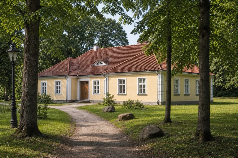
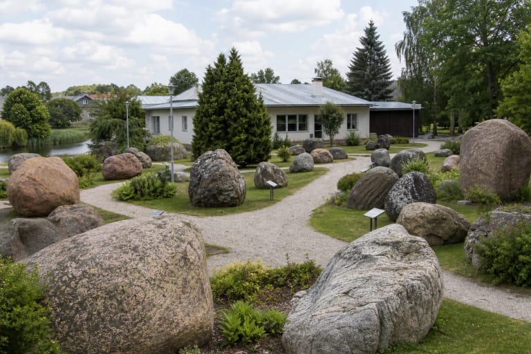
Puodkaliai Hillfort is worth combining with Skuodas Museum, Apuolė Hillfort, and Mosėdis Stone Museum. Together they create a route where archaeology, regional history, and natural objects explain one another.
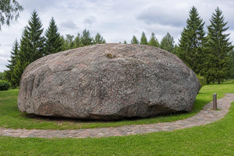
With more time, add Barstyčiai Stone or Old Įpiltis Hillfort in Kretinga District. This kind of route shows that the historical landscapes of north-western Lithuania are not isolated points on a map.