
Travel spots in Lithuania
Lakes and protected areas in Lithuania — page 2
Continue the collection with entries 121-240 of 242.
Lake and protected area guides
Each place page combines cultural context, practical details, and visitor orientation.
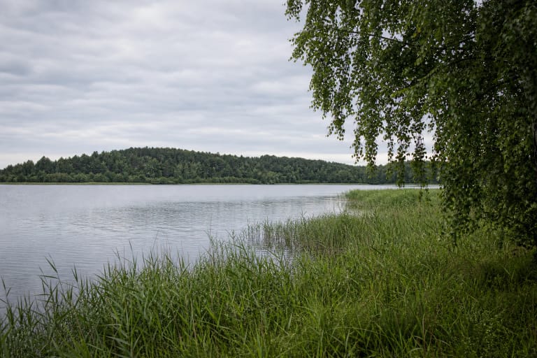
Lake Parsvėtas is an 87.4-hectare tunnel-valley lake in Ignalina District, on the northern edge of Dūkštas.
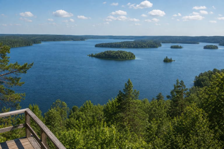
Lake Plateliai is the largest lake in Samogitia and the centre of Žemaitija National Park, with islands, Castle Island history, a viewpoint, trails, and…
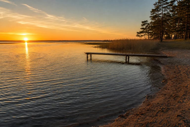
Lake Rėkyva on the southern edge of Šiauliai is among Lithuania's largest and shallowest lakes.

Lake Rubikiai, also known as Anykštis, is the 939.7-hectare centrepiece of the Rubikiai-Mūšėjas lake district in Anykščiai Regional Park.

Lake Sartai is a branched Aukštaitija lake known for Lithuania's longest lake shoreline, the Šventoji flow, panoramas of Sartai Regional Park, and the Dusetos…
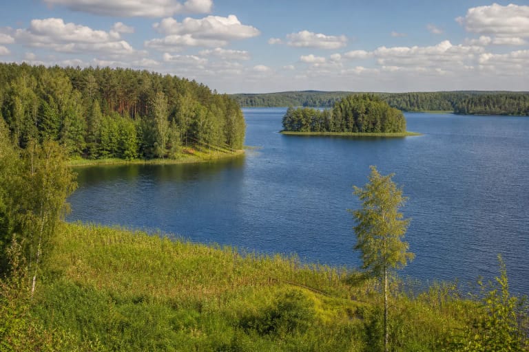
Siesartis is a glacial channel lake reaching 37.8 metres deep, only 3 km east of Molėtai.
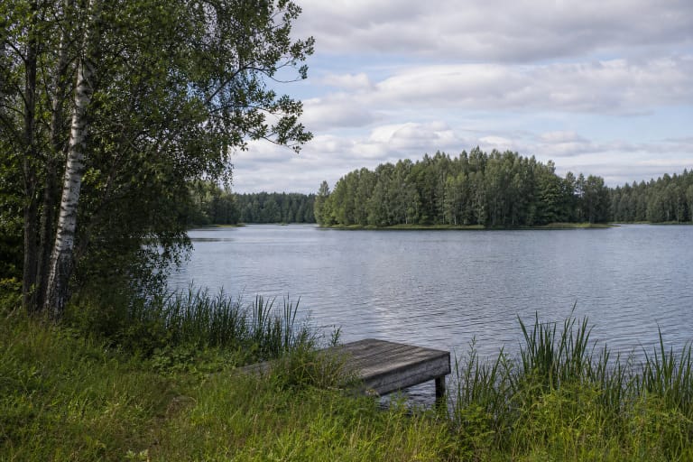
Lake Skaistis, also known as Lake Žydiškės, is a 282-hectare tunnel-valley lake northeast of Trakai.
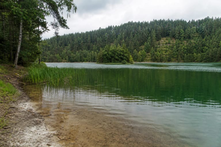
Spindžius is a glacial lake in Trakai District, about 10 kilometres east of Aukštadvaris and 1.5 kilometres south of the Vilnius-Prienai highway.
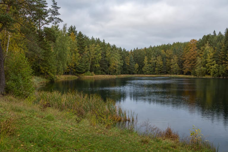
Lake Stanka, also known as Stankos Lake, Stauka, or Kaukas, is a small lake beside Strėva village in Trakai District.

Lake Tapeliai is a 13.0-hectare Vilnius water body in Tapeliai Landscape Reserve.

Lake Tauragnas in Aukštaitija National Park is Lithuania's deepest lake, a long and narrow water body between wooded shores and the landscapes of Tauragnai and…

Lake Vilkinys is a 143.8-hectare glacial trough lake in Veisiejai Regional Park, about 9 kilometres southeast of Veisiejai.

Lake Vilkokšnis is a large glacial lake in the southwestern part of Trakai District, inside Aukštadvaris Regional Park.
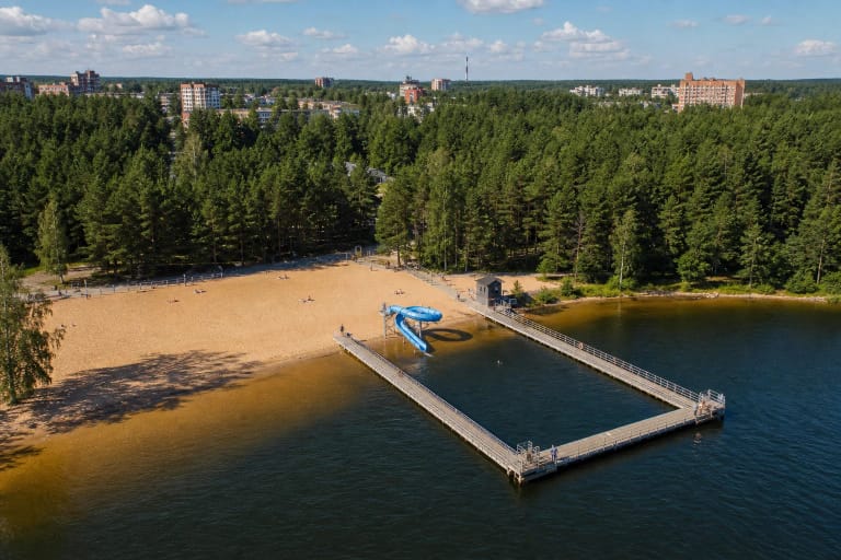
Lake Visaginas is a natural 220.4-hectare lake on the southern edge of Lithuania's youngest city.
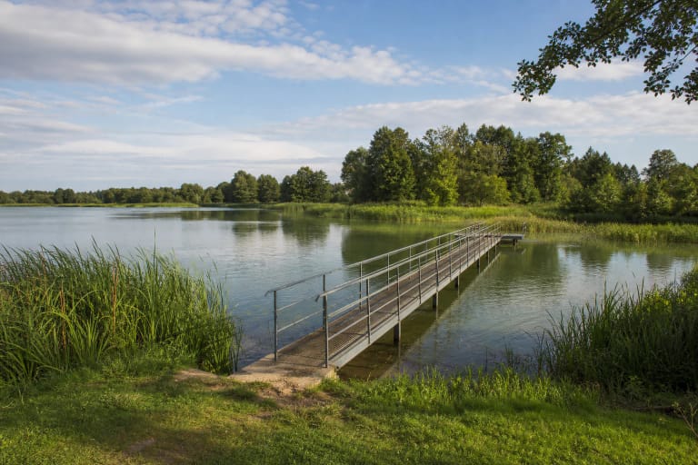
Lake Ygla, called Iglė in some sources, lies beside Igliauka in Marijampolė Municipality.
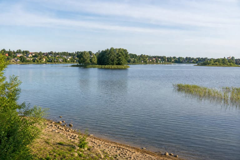
Lake Zarasas lies on the western edge of Zarasai and has four islands.
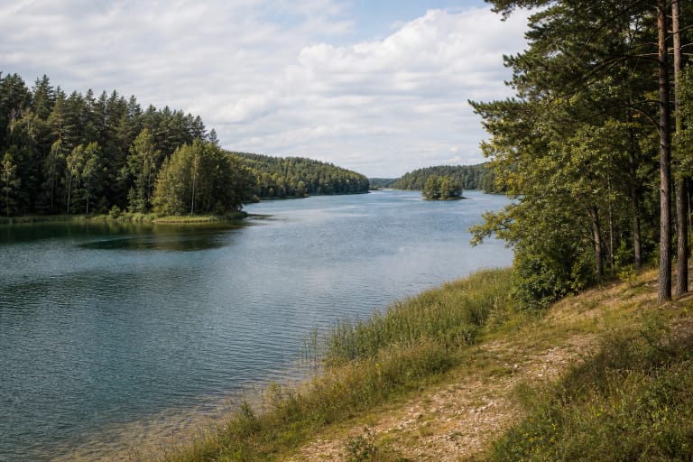
Lake Žeimenys is a 12-kilometre, winding glacial-runnel lake east and north-east of Kaltanėnai in Aukštaitija National Park.
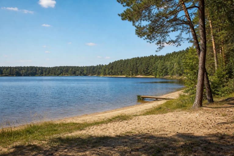
Lampėdžio Lake, often shortened to Lampėdis, is an elongated former quarry water body in Kaunas's Lampėdžiai district.
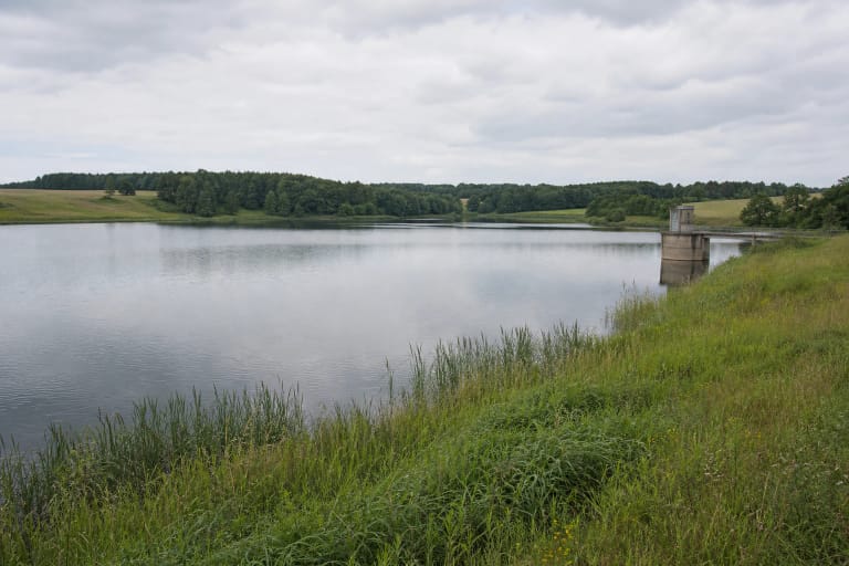
Laukžemiai Reservoir, also called the Eketė Reservoir, is a 35.6-hectare water body in Klaipėda District, in the Eketė river basin.
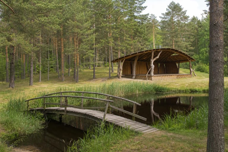
Lenkimai Forest Recreation Area is a public woodland stop built around a narrow pond in Lenkimai Forestry.

Lentvaris Lake, also known as Graužys, covers about 30.5 hectares in the north-western part of town.

Liberty Beach in Paberžiai near Tauragė is a private water-activity venue beside four artificial ponds.
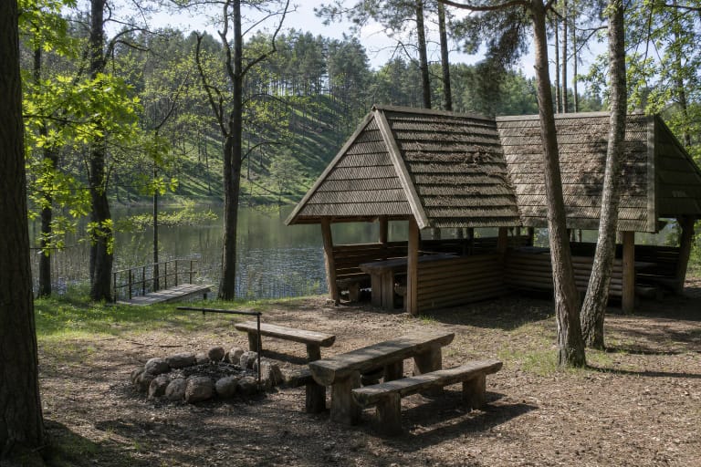
Linkmeno Campsite is a compact, roughly 0.5-hectare site on the northern shore of Lake Linkmenas.
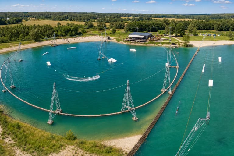
Mad Bay Wake Park is at 26 Žiobrių St. in Žemgrindžiai, beside striking emerald quarry water.
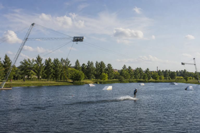
Marionette – Wakepark Šiauliai is a separately operated wakeboard and water-activity park at 34A Žvyro Street beside Lake Talkša.
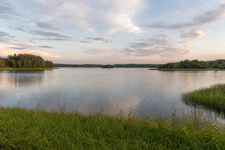
Mastis is a 272.2-hectare lake on the southern edge of Telšiai, formed when a block of glacial ice melted.
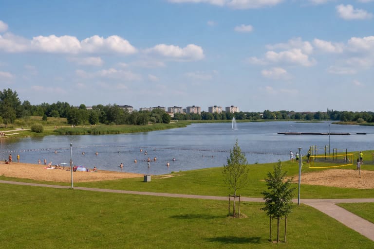
Mažeikiai City Beach, called the Pavenčiai bathing place in official documents, is beside the Venta at Aitvaro Street.
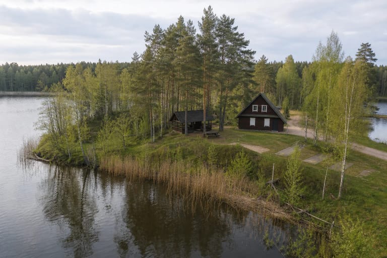
Mergelės Akelės Birdwatching Centre is a nature-observation and accommodation base in Dzūkija National Park, about 3 km from Merkinė.
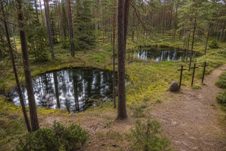
Mergelių Akys Lake is a small marshy lake in a pine-forest hollow on the edge of Druskininkai, made up of two round basins that resemble eyes.
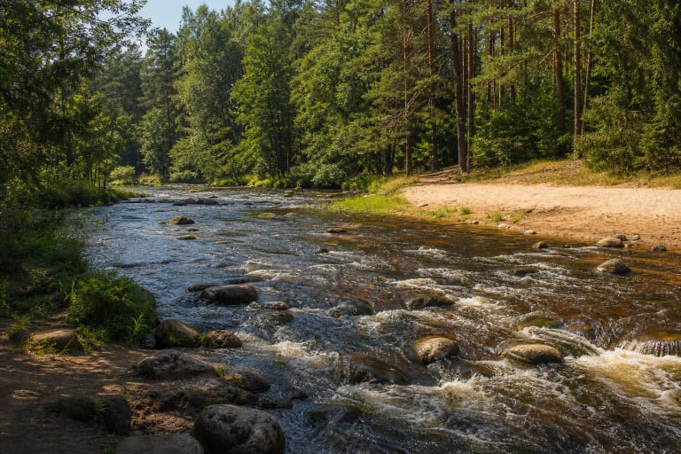
Metelio Rapids is a distinctive stretch of the middle Šventoji River in Upninkai Eldership, Jonava District.
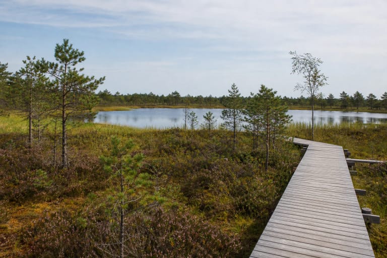
Miknaičiai Lake is a natural 5.7 ha lake in the Mūša Tyrelis raised bog, described by VLE as the only natural lake in Joniškis District Municipality.
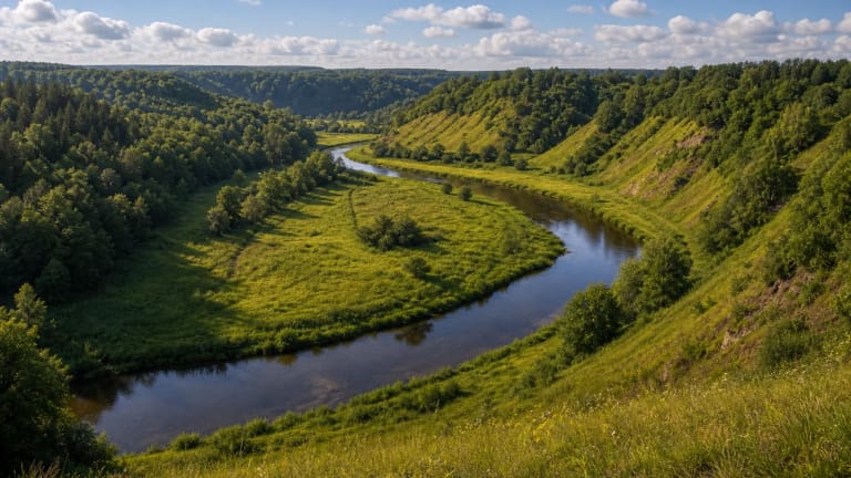
The Minija Ancient Valley is a protected Klaipėda District landscape where the 202 km Minija River, steep slopes, ravines, and erosional forms show how a…
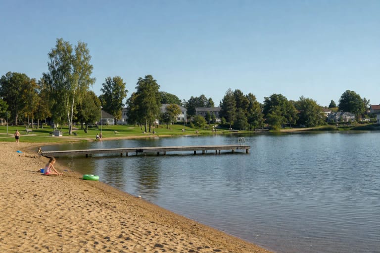
Molėtai Town Beach is a public recreation area at Turgaus g. 10 on Lake Pastovis.
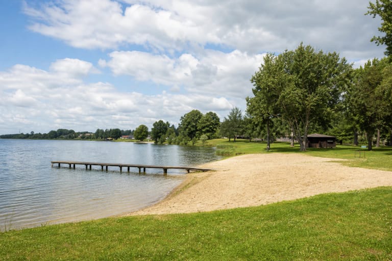
Mosėdis Beach is a public recreation area beside Mosėdis Pond I on Ežero Street in Mosėdis.
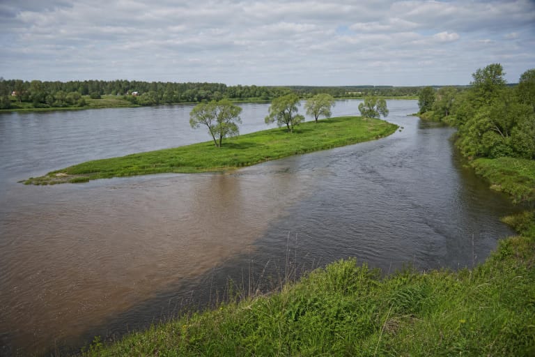
The Nemunas and Nevėžis confluence between Šilelis and Raudondvaris is a natural meeting of two major rivers rather than an urban park.

The Nemunas Delta is a Pamarys landscape where river branches, spring floods, polders, Rusnė Island, and bird migration create one of Lithuania's most…

Neris Regional Park protects the Neris's great loops, steep valley slopes, Dūkštai Oakwood, stream valleys, and cultural heritage between Vilnius and Kernavė.
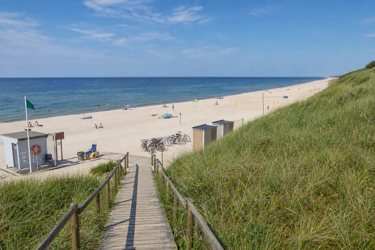
Nida Central Beach is the official public Baltic bathing beach on the western side of the Curonian Spit.

Nida Naturist Beach is a marked naturist zone on the southern part of Nida's Baltic shore.
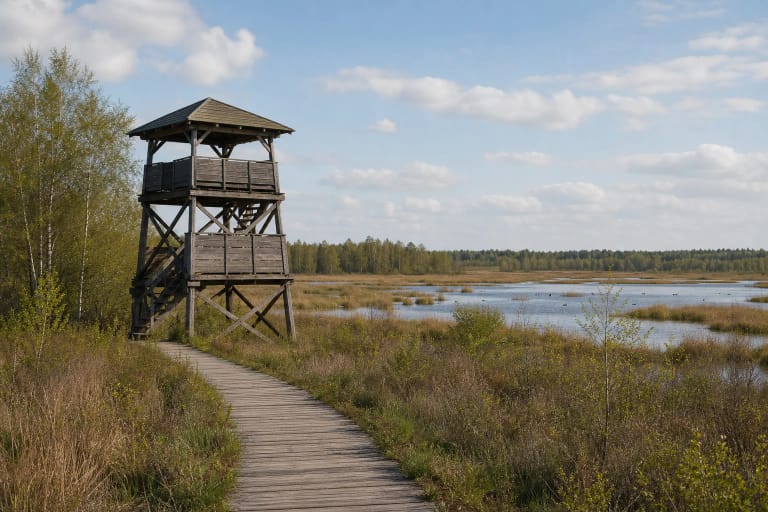
Novaraistis Ornithological Reserve is the largest ornithological reserve in Lithuania: about 827 ha of raised bog and water in a former peat-extraction area…
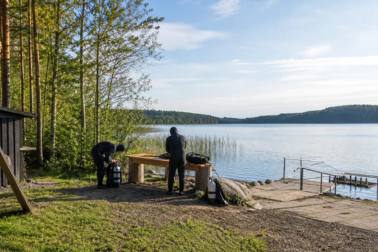
Oktopusas Diving Centre at Lake Plateliai runs introductory and advanced dives, training, equipment rental, and air fills.
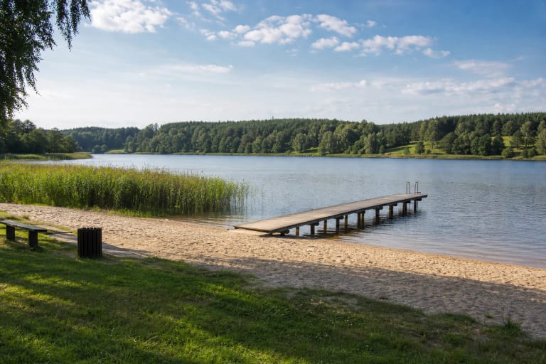
Orija Lake Beach is the Orija bathing site near Orija village in Kalvarija Municipality, not the whole 86.4 ha lake.
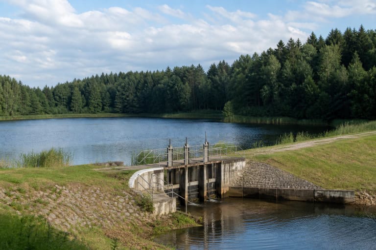
Pabradė Reservoir Dam, officially Pabradės tvenkinio (Pabradės kartono fabriko) užtvanka, is a hydrotechnical site by Pabradė connected with the history of the…

Pajauta Valley in Kernavė is part of a UNESCO-protected cultural landscape where hillforts, the lower town, the Neris valley, and archaeology combine into a…
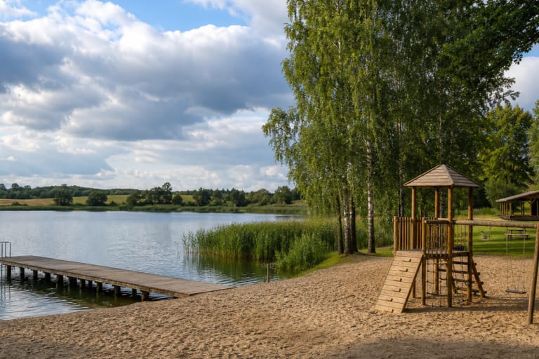
Pakumulšiai I Pond is a 40.89-hectare state-owned waterbody in Šiauliai District, about 3 km west of Kuršėnai.
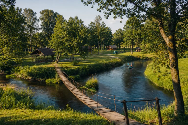
Palaivis Recreation Site is a private campsite in Palaivis village, beside a bend of the Jūra River.
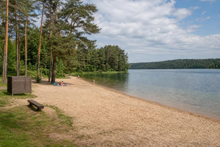
Palūšė Beach is a public sandy shore on Lake Lūšiai at the heart of travel in Aukštaitija National Park.
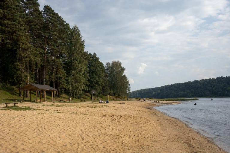
Panemunė Beach is a Kaunas recreation site on the Nemunas, on the A. Smetonos Avenue side.
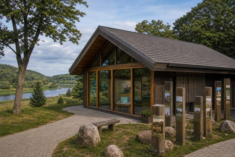
The Panemunių Regional Park Visitor Centre in Šilinė is the gateway to the lower Nemunas castles route, with an interactive exhibition on valley nature,…

PARKAS wake & cable is an active-recreation venue beside Lake Masčio in Telšiai, offering cable wakeboarding, equipment hire, paddleboards, and space for…
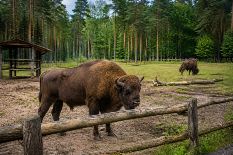
Pašiliai Bison Enclosure in Krekenava Regional Park is where European bison restoration in Lithuania began in 1969.
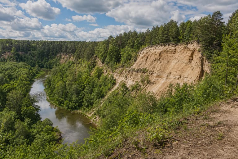
Pavilniai Regional Park is a protected area created in 1992 within Vilnius itself, preserving the scenic, deeply carved Vilnia River valley with ravines,…
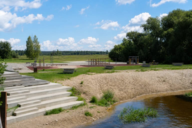
Piniava Leisure Area is a public space beside the Lėvuo River in Piniava village, renewed in 2021.
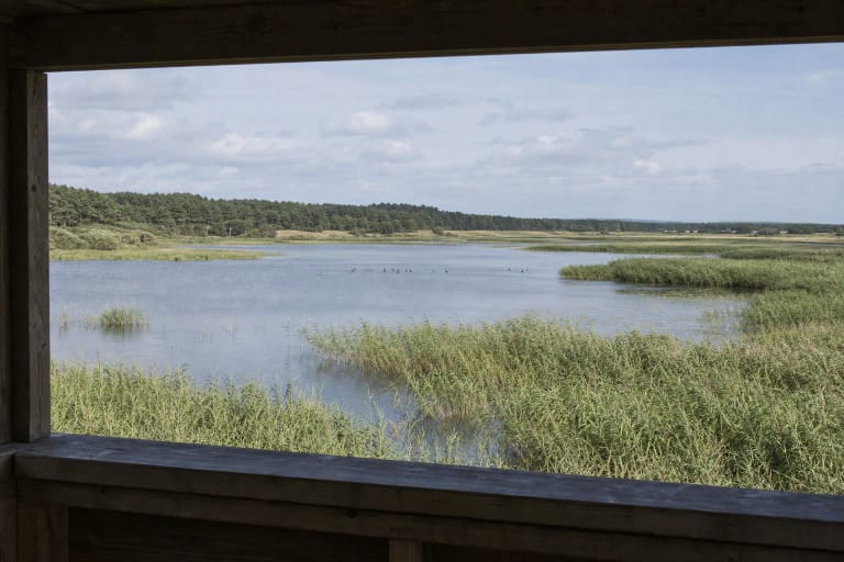
Plazė (Plocis) Lake near Karklė is Lithuania's lake closest to the Baltic Sea, only a few hundred metres from the shore.
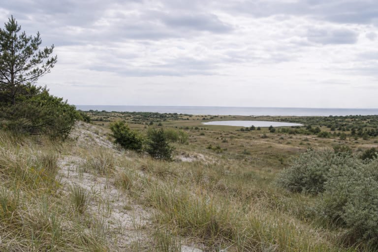
Plazė Nature Reserve protects 228 hectares of landscape on Lithuania's mainland Baltic coast: Plazė Lake and its surroundings, the Small Cliff, and dune, sandy,…
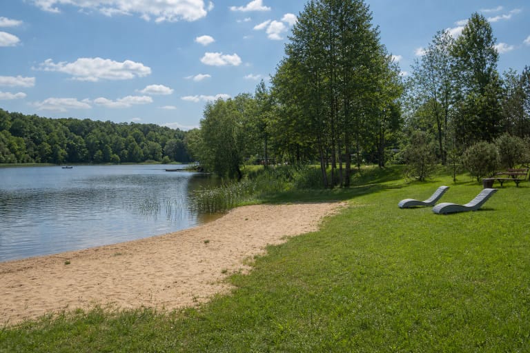
Plinkšiai Recreation Area is a municipality-maintained swimming and leisure zone on Mokyklos Street in Plinkšiai village.
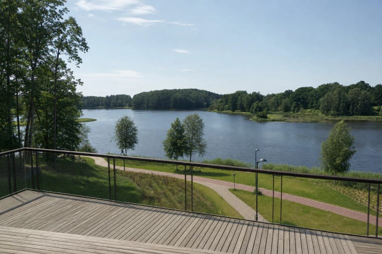
Plungė Sea is the local name for the Gandingas hydroelectric reservoir, formed by damming the Babrungas in 1961.
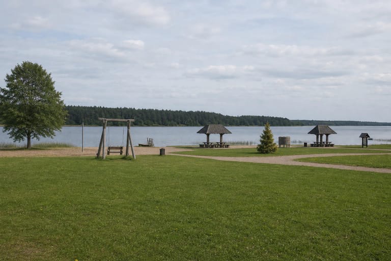
The Public Beach at Lake Arinas is a Joniškis recreation site with a sandy strip, broad lawn, two simple shelters, a timber swing, and a short wooden water…
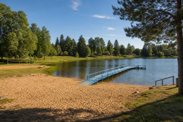
Pumpėnai Beach is a small community-built lakeside recreation area in the town of Pumpėnai, Pasvalys District.
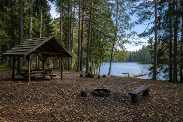
Purviniškiai Campsite occupies about 7.2 hectares on the south-eastern shore of Lake Baluošai in Asveja Regional Park.
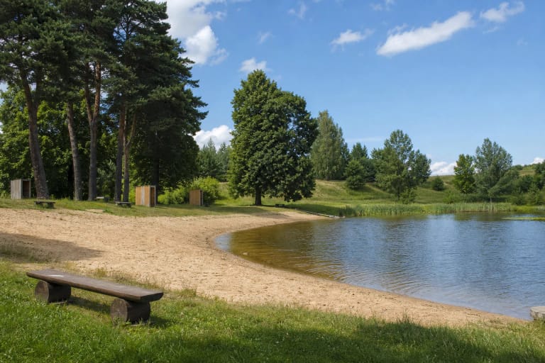
Pušalotas Beach is a small maintained recreation site beside a pond in the Pušalotas eldership of Pasvalys District.

Raigardas Valley near Druskininkai is Lithuania's largest suffosion cirque, a protected landscape, and one of Dzūkija's strongest panoramas, connected with…
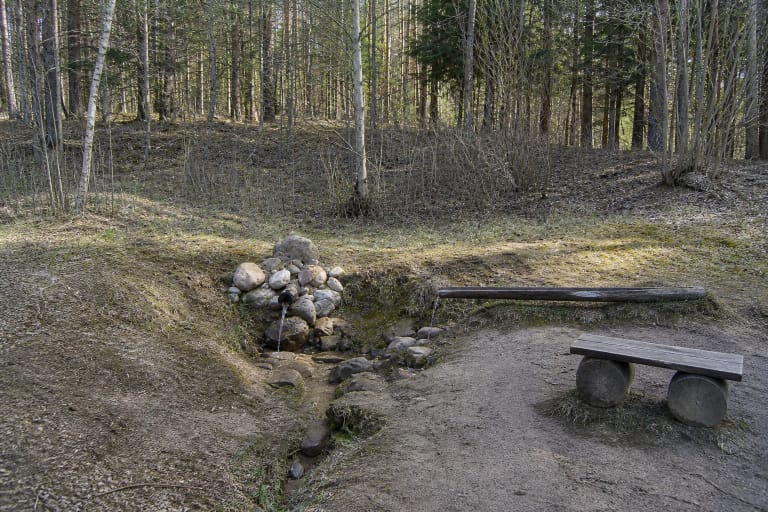
Rastinėnai Spring rises at the eastern edge of Elniakampis Forest, by the boundary of the Rastinėnai and Bubos garden communities, in the Neris Regional Park…

Reiskių tyras is the largest wetland in Samogitia, a typical western Lithuanian raised bog with bog pools, islands, and abundant birdlife.

Rietavas Swimming Pool on L. Ivinskio Street is a public 25-metre pool.
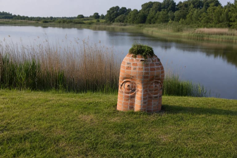
Rokai Recreation Area Beach is a waterside leisure place near the Paraželiai ponds in Paraželiai village, Rokai Eldership, Kauno District.
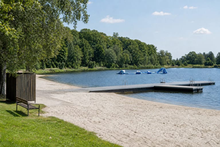
The place commonly called Rokiškis Lake is the city's recreation area beside two bodies of water on the Laukupė: Rokiškis Reservoirs IV and V. Visitors find a…
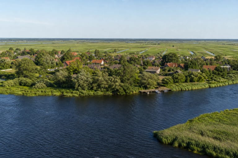
Rusnė Island is a 43.5 sq km Nemunas Delta plain between the Atmata, Skirvytė, and Curonian Lagoon.

Salantai Pond is a map name that outlived a major change in the landscape.
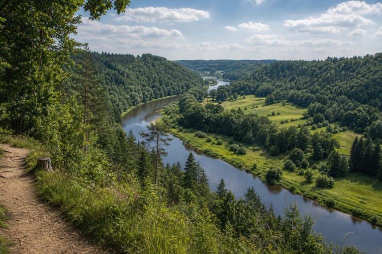
Salantai Regional Park protects the scenic ancient valleys of the Minija, Salantas, and Erla rivers and the karst landscape of Samogitia.
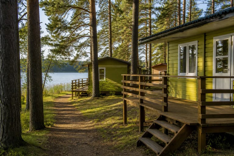
Sartai Recreation Site is in Baršėnai beside Lake Sartai and within Sartai Regional Park.
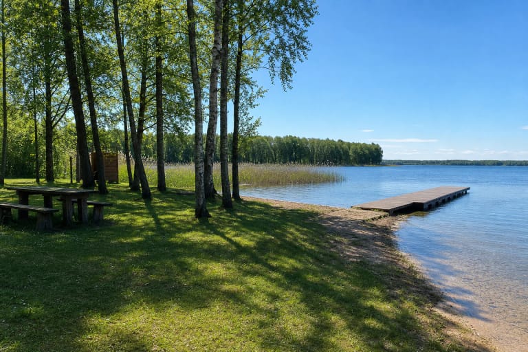
Seirijis Lake Bathing Area is an officially monitored public shore beside Ežero Street in Seirijai Eldership.
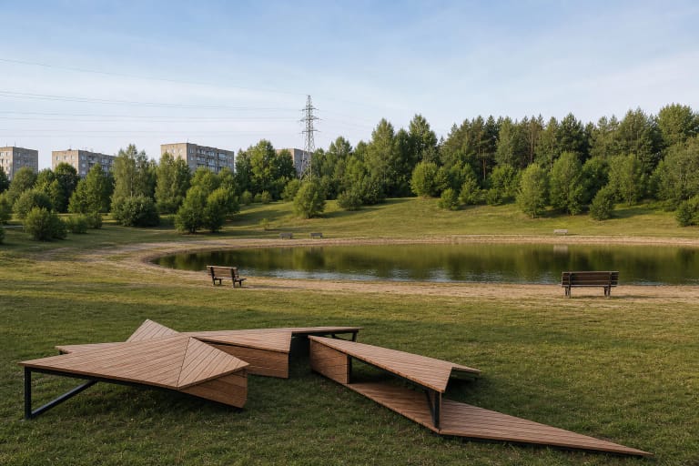
Šeškiuko Lakelet lies in an oval thermokarst hollow at the northwestern end of the Šeškinė Esker.
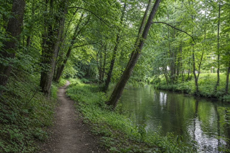
Šilutė City Park at this map point means Varnamiškis, a green area extending east along the Šyša.
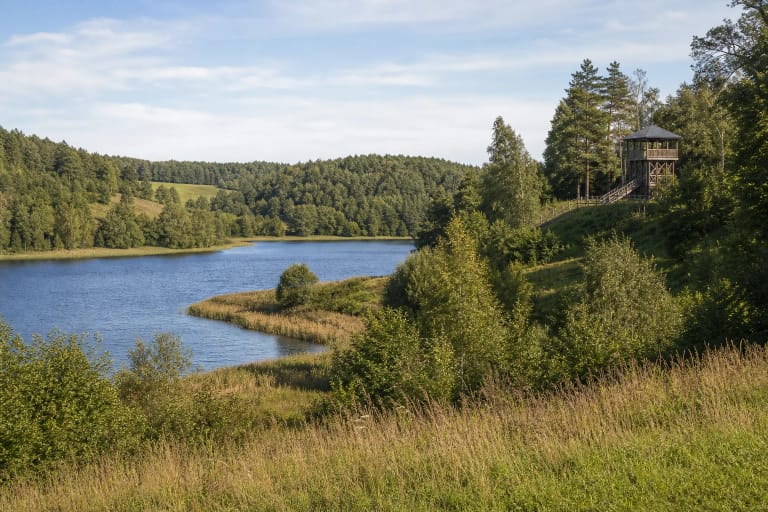
Sirvėta Regional Park in Švenčionys District protects a lake-rich watershed landscape between the Daugava and Žeimena basins.
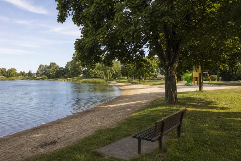
Širvintos Beach is a public city swimming and leisure site on the Širvintos pond, on the Paupio Street side.
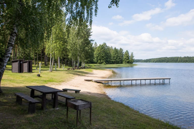
Skaistė Lake Beach is in Konstantinava village, Kazliškis eldership, Rokiškis District.
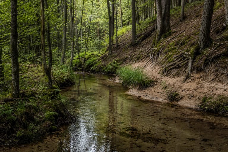
Skroblus Stream, also searched for as Skroblaus upelis, is a 20.31 km spring-fed left tributary of the Merkys in Dzūkija National Park.

Skuodo jūra is the official short name for Skuodas Reservoir Beach.
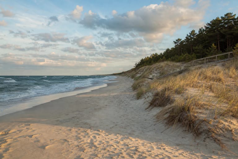
Smiltynė Beach is Klaipėda's seashore on the far side of the Curonian Lagoon: a wide white-sand coast reached by ferry and a walk through pine forest, separated…

The Spindžius-Spindžiukas Lake Channel is a short stretch of the Strėva in Aukštadvaris Regional Park.
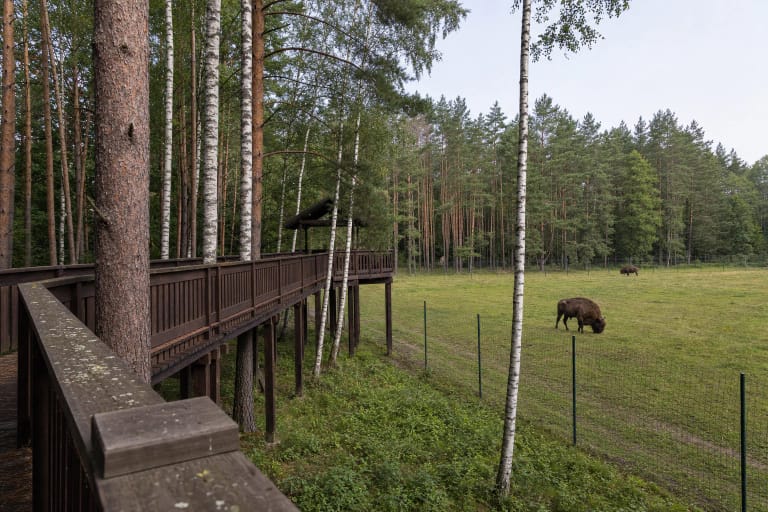
Stėgaliai is neither a zoo nor an outpost of the older Pašiliai enclosure.
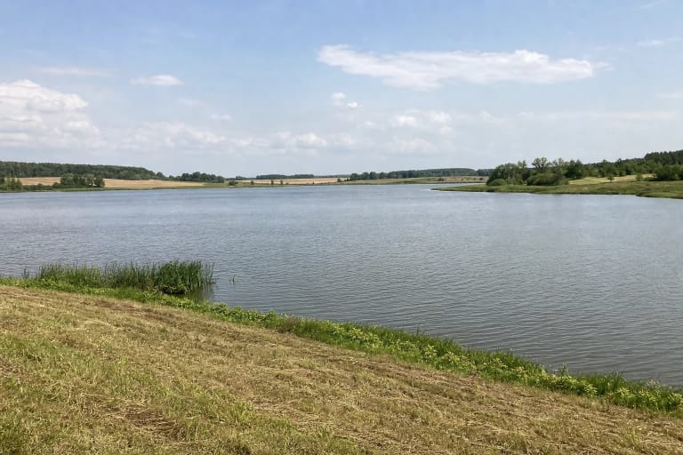
Stepanionių Pond is a large artificial water body in Panevėžys District, near Stepanioniai and Ėriškiai in Upytė Eldership.
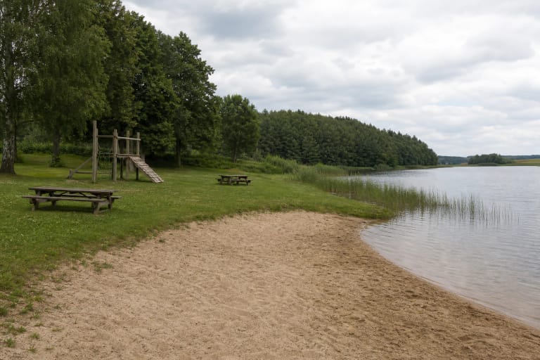
Sujainiai Reservoir is Raseiniai District Municipality's official bathing site in Sujainiai village.
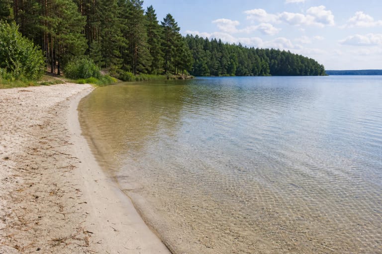
Švento Lake Beach is a mapped natural sandy shore within the Švento Landscape Reserve.

Svilė Springs, also called Spaudžių Verdenė, are one of Lithuania's most impressive groups of springs: more than 100 spring eyes bubble in a wet meadow, and…
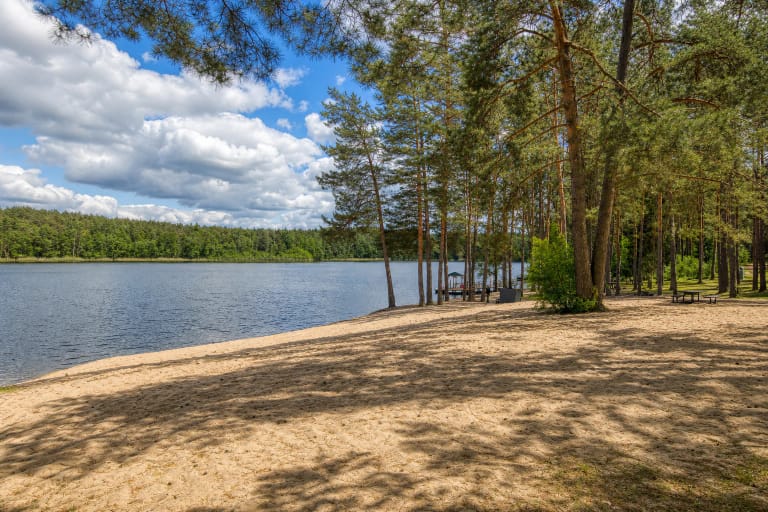
Tapeliai Beach II is a forest-framed city bathing beach in Tapeliai Landscape Reserve.
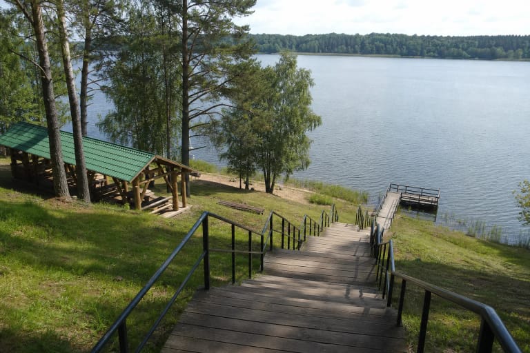
Tauragno Slėnis is a developed recreation area on the western shore of Lake Tauragnas beside Tauragnai.
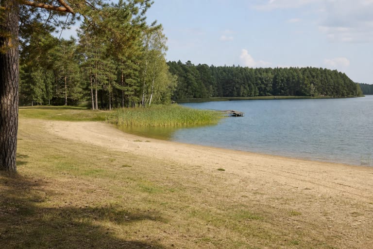
Totoriškės Beach is a specific public shore and bathing point on Lake Totoriškės in Trakai, not a description of the entire lake.
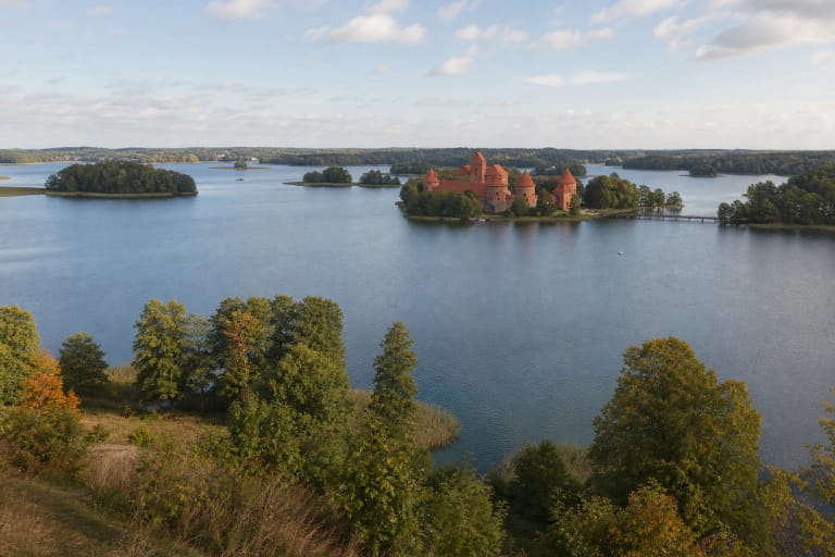
Trakai Historical National Park protects Trakai, the Island and Peninsula Castles, the Lake Galvė district, Užutrakis Estate, Old Trakai archaeological site,…
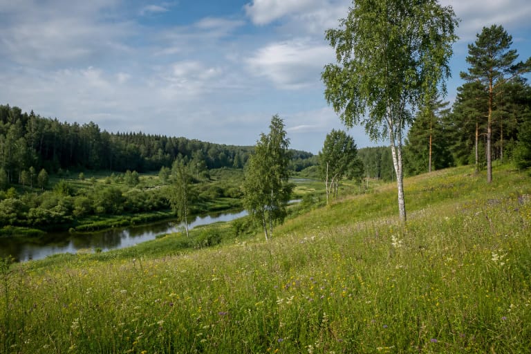
Upninkai State Botanical Reserve protects about 105.5 hectares of Šventoji River valley meadows, woodland, and rare-plant habitat near Upninkai.
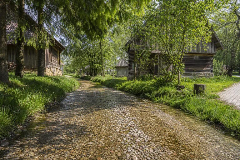
Vaiguva River-Street in Plokščiai is a spring-fed stretch of stream whose stony bed doubles as the access lane for nearby homesteads.
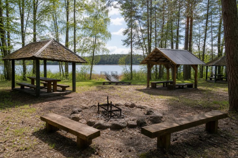
Vaišniūnai Campsite covers roughly 3.5 hectares on the northern shore of Lake Dringis.
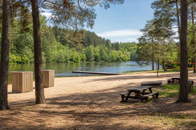
Valakampiai Beach I is a large city beach on the Neris on the Antakalnis side of Vilnius, surrounded by the Valakampiai pine woods.
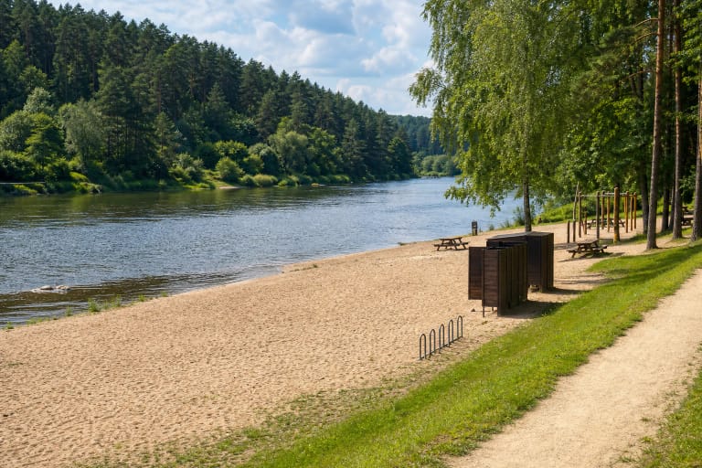
Valakampiai Beach II is a quieter Grinda-maintained city bathing beach on the Neris, surrounded by the Valakampiai pinewoods.
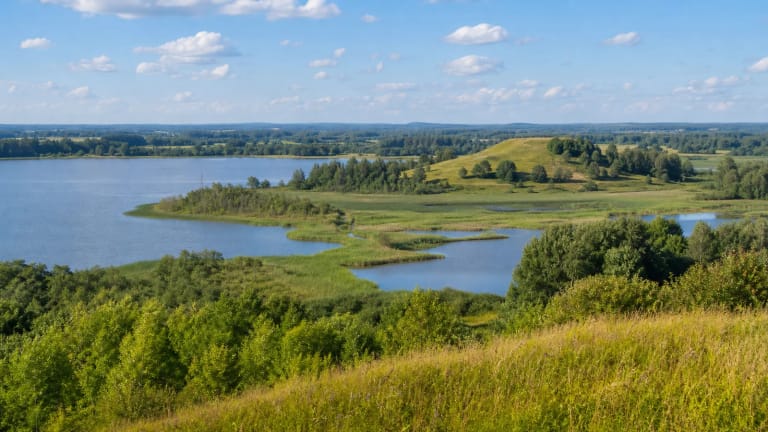
Varniai Regional Park protects the lake-filled and hillfort-rich landscape of the Samogitian Uplands, including Lūkstas, Biržulis, Paršežeris, Medvėgalis,…

Veisiejai Regional Park in Lazdijai District protects the forested Šlavantai-Veisiejai-Kapčiamiestis lake district with 37 lakes.
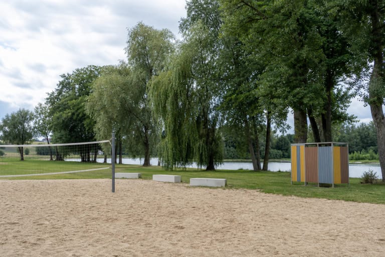
Velžys Beach is a public sandy recreation and bathing place beside the Nevėžis River in Velžys, Panevėžys District.

Venta Regional Park protects the winding Venta River valley in Samogitia, an area of about 9,800 hectares across Akmenė, Mažeikiai, and Šiauliai districts.
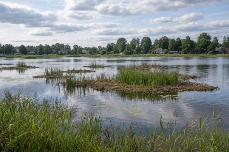
Vepriai Lake by Vepriai town in Ukmergė District is known for an unusual natural sight: floating islands of reed roots and peat that can move across the lake in…
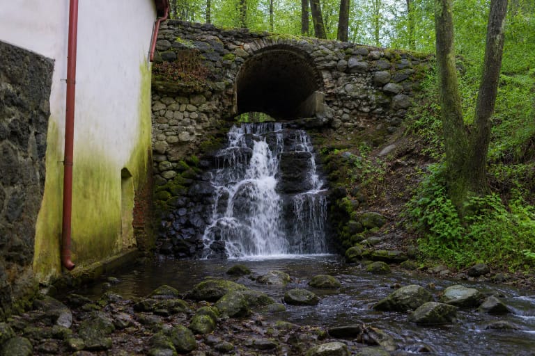
Verkiai Park Waterfall is a small cascade by the water mill in Verkiai Manor Park, where a park stream passes through the mill water system and runs towards the…

Verkiai Regional Park is a protected Vilnius landscape established in 1992, bringing together the basins of the Green Lakes, the slopes of the Neris Valley,…
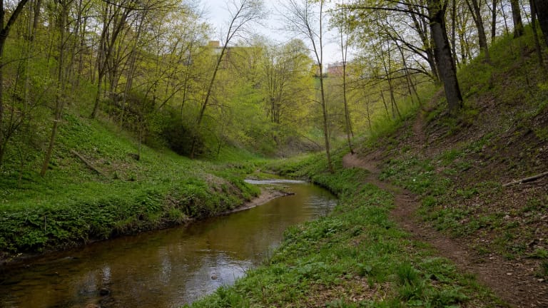
Versva Landscape Reserve in Kaunas protects the Versva stream valley as an integral natural-cultural territorial complex.
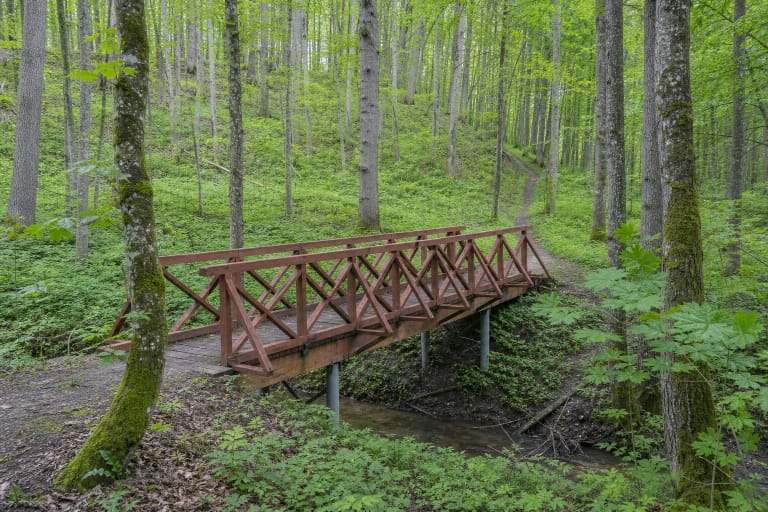
Vidzgiris Botanical Reserve is a state-protected area established in 1960 in southern Alytus, covering about 388 ha of the most valuable part of Vidzgiris…
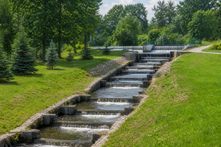
Viešvilė Fish Ladder is a stepped pass on the Viešvilė River that helps aquatic animals negotiate a human-made barrier.
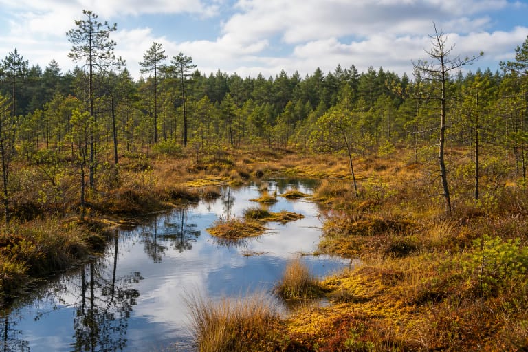
Viešvilė State Nature Reserve in Karšuva Forest is one of Lithuania's most strictly protected territories.
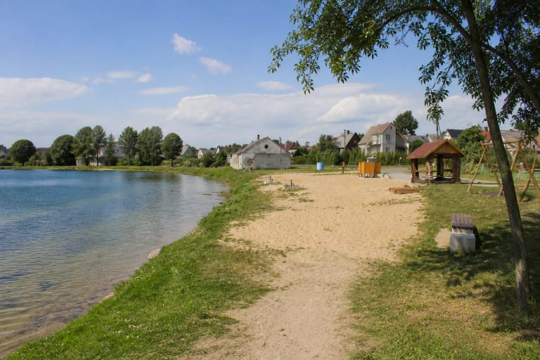
Vievio Beach is a modest town recreation spot on Lake Vievis, in the area of 18 Kranto Street.

Vilūnai Lake is a very small water body in Vilūnai village, Kruonis Eldership: a publicly available local description gives a length of 0.34 km, a width of up…

Virintai lies 7 kilometres northeast of Molėtai beside the Molėtai-Utena highway.

Vištytis Regional Park in south-western Suvalkija protects the highest part of the Sūduva Highland and scenic Lake Vištytis, where deep lakes, moraine hills,…

Wake Panevėžys is a wakeboarding and watersports base established on the Ekranas reservoir in 2019.
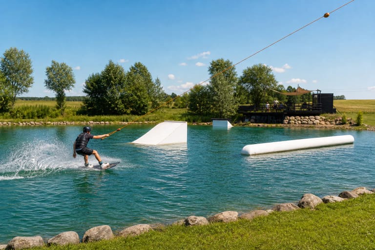
Wake Village “Gribžė” is a compact cable wake park in Gribžiniai village, where white kickers and a pipe sit in a green rectangular lake.
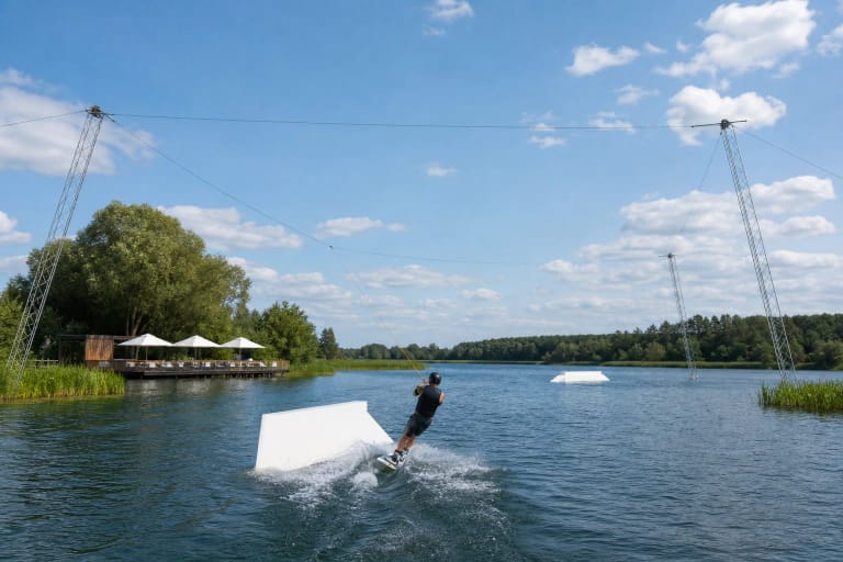
WakeWay at Nemėžis Pond is a five-tower circular cable wakepark with obstacles, lessons, equipment, and visitor facilities.

Zarasaitis Lake Beach is a long-established city bathing place distinguished by an open-water swimming pool and a multi-level diving tower rising to 10 metres.
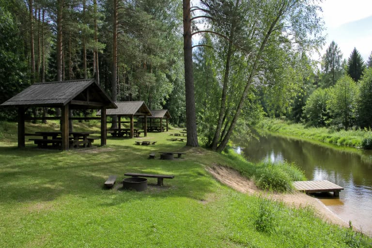
Žeimena Campsite is a forest recreation area beside the Žeimena River in Švenčionys District.
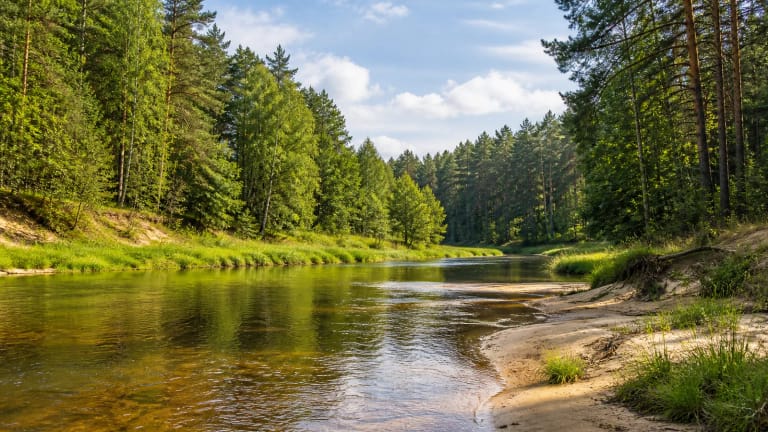
The Žeimena is an 80 km right tributary of the Neris, flowing from Lake Žeimenys near Kaltanėnai.
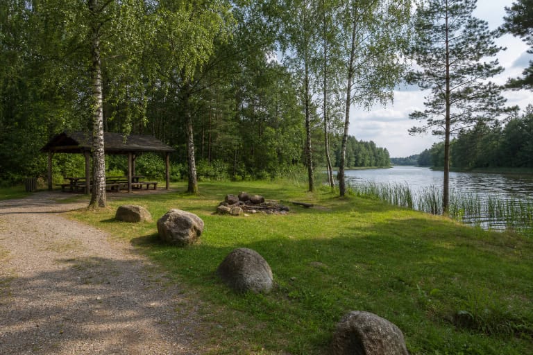
Žingiai Campsite lies in the central part of Asveja Regional Park beside the channel connecting the eastern and western parts of Lake Asveja.

Žirmūnai Beach is an officially monitored River Neris swimming site in Žirmūnai Park, with sand and lawn, a lifeguard base, showers, changing cabins, toilets,…
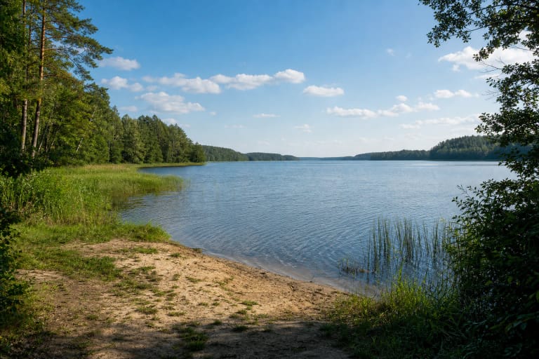
Žirnajai, also called Lake Žirnajai, is a 192.4-hectare glacial-channel lake in Ukmergė District, about 3 km south of Pabaiskas.

Žuvintas is a shallow, eutrophic, slowly infilling lake in Alytus District, 8 kilometres north of Simnas.