- Place
- Verkiai Eldership, Vilnius City Municipality; a small part lies in Vilnius District Municipality
- Region
- Vilnius Region
- Type
- a regional park with lake basins, Neris Valley slopes, and cultural-heritage complexes
- Address
- Verkiai and Pavilniai Regional Parks Visitor Centre, 53 Žaliųjų Ežerų Street, Vilnius
- Coordinates
- 54.78640, 25.29810
- Visit duration
- 2-4 hours for one park sector; a full day for several routes and heritage sites
- Best time
- late spring to autumn; summer for lakes and beaches, spring or autumn for relief and views
Verkiai, Verkiai Park
Verkiai Regional Park joins two sides of Vilnius
Verkiai Regional Park lies in the north of Vilnius and reaches into Vilnius District in a small area. It was established in 1992, and the current protected-area description gives it an area of 2,529 hectares. This is not only the Verkiai Manor park and not only the Green Lakes: the name covers a complete natural and cultural landscape.
It is useful to understand the park as two connected parts. Woodland, the Green Lakes basins, and the Ežerėliai Geomorphological Reserve dominate the north, while Verkiai Manor Estate, Neris Valley slopes, the Calvaries, and the Trinapolis area meet in the south. This division prevents visitors from expecting one short trail to reveal the whole territory.
The park has no single narrow entrance. The visitor centre is at 53 Žaliųjų Ežerų Street, while the coordinates 54.7864, 25.2981 on this page are a representative park point for initial orientation. Use the separate access point for the particular route or site you want to visit.
Glacial basins and the Green Lakes
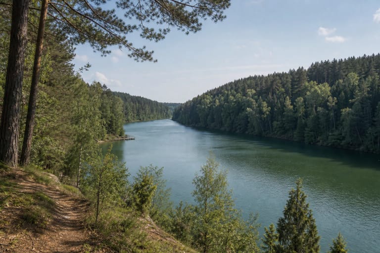
The Green Lakes complex is the defining natural feature of the northern park. Deep basins with steep wooded shores give the area its relief, while Balsys is the largest and deepest lake in the group. Beaches, a viewpoint, and trails cluster around it, but the lake is one sector of the park rather than another name for the whole territory.
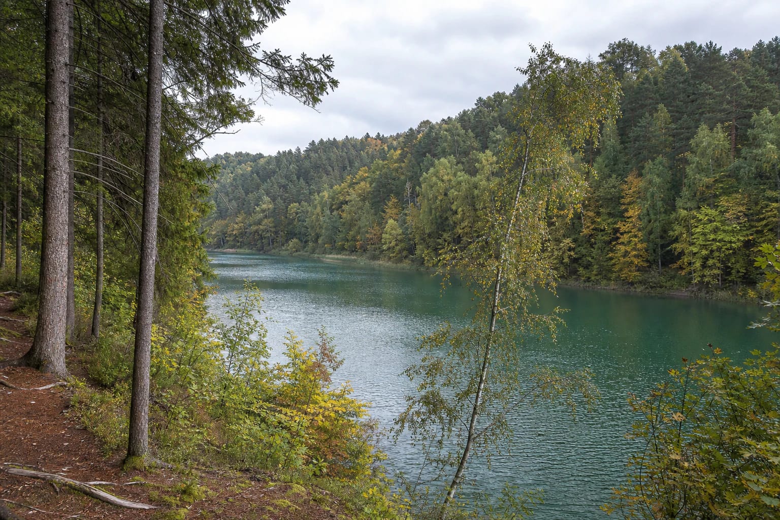
Park descriptions also mention Gulbinas, Mažasis Gulbinas, Raistelis, and other Green Lakes. The balance between water and woodland changes constantly: open shore gives way to narrow forest paths, and slope height and ground conditions vary from one section to the next. Near steep banks, stay on marked paths instead of searching for a shorter descent.
The Ežerėliai Geomorphological Reserve tells another part of the glacial story. It protects a line of small, unconnected thermokarst lakes and marshy hollows formed as buried blocks of ice melted. This is a landscape for slow observation in the woods, not a place where visitors need to reach every individual body of water.
The Neris Valley, the Riešė, and a living slope landscape
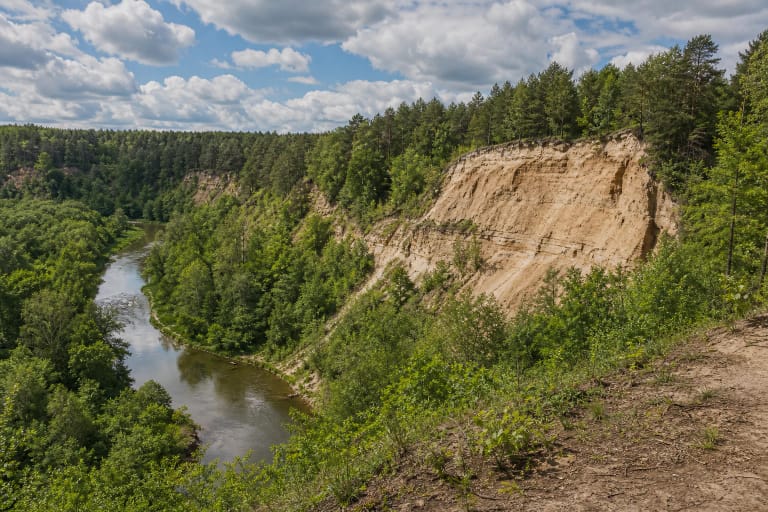
The Neris forms the park's southeastern edge, and its valley slopes give the area a different scale from the lake basins. Saugoma.lt describes wooded, steep-sided river-valley sections and the Kryžiokai Landscape Reserve, where small tributaries cut into the relief. The bend in the river seen from the Verkiai Manor side is one of the cultural landscape's views, not a separate boundary for the entire park.
The Riešė Hydrographic Reserve protects a natural section of the Riešė Valley. The stream divides into two channels, a rare feature in Lithuania's landscape. Wet lowlands, slope woodland, and a network of small tributaries matter for more than scenery, so do not leave the path for wet ground or disturb the banks.
The park protects varied woodland and wetland habitats, and official descriptions emphasise its rare plants, fungi, and animals. For visitors, the practical rule is simple: do not pick plants, do not enter reserve margins in search of a photograph, and keep dogs according to local signs and protected-area rules.
Verkiai Manor, the Calvaries, and Trinapolis
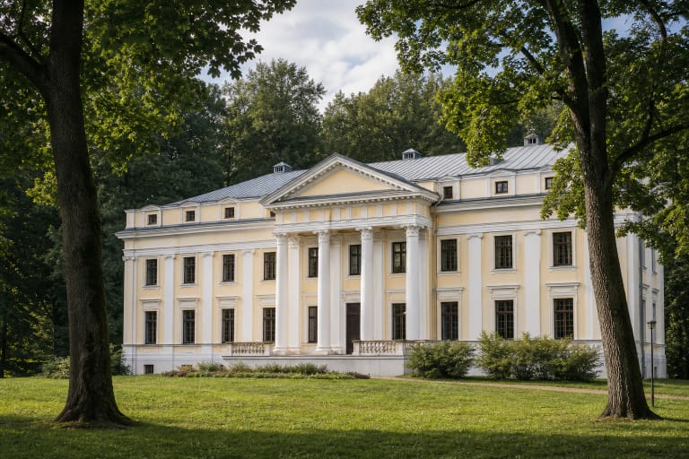
Verkiai Regional Park is not only a natural landscape. Verkiai Manor Estate, with its park and pond system, preserves a Classical landscape in which the buildings, slopes, and Neris panorama work as one composition. Treat the manor grounds as a separate heritage stop, not merely as a convenient drive to the woods.
The Calvary Way of the Cross is a historic route with 35 stations, chapels, gates, and the Church of the Discovery of the Holy Cross. VLE gives its length as about 7 kilometres, so plan for more time and suitable footwear even though some sections pass through streets and urban green spaces.
The Trinapolis church and former monastery ensemble, the canal system of the New Verkiai paper mill, and Staviškės Hillfort extend the park's history. These are not one compact visiting point: plan separate stops because their approaches, surroundings, and visiting arrangements differ.
Trails and viewpoints for different day trips
VLE lists the seven-kilometre Calvary Way of the Cross, an approximately ten-kilometre Verkiai Forest walking route, and a cycling route among the park's visitor features. It also mentions viewpoints by Lake Balsys, Verkiai Palace, and Staviškės Hillfort. These routes are not one official loop, so do not add their distances or times without checking the individual map.
For a short outing, choose one sector: the Balsys shore and Green Lakes trail, Verkiai Manor with its Neris panorama, or the Calvary route. A longer day can combine two sectors, but travel between their access points may require a drive or city transport. The visitor centre helps explain the park's values and choose a route for the season.
The park landscape is not uniformly step-free. Roots, sand, slopes, stairs, and natural surfaces change between trails, so visitors with mobility requirements should assess the chosen route rather than label the entire park accessible or inaccessible.
Planning a visit to Verkiai Regional Park
The official descriptions do not list one park-wide ticket or central ticket desk, but visitor-centre, manor-event, and individual facility arrangements can differ. Check the particular site's information before travelling, and visit the outdoor park in daylight.
Allow 2-4 hours for one park sector and a full day for several natural and cultural stops. Lakeshores can be busier in summer, while spring and autumn reveal relief, Neris views, and woodland structure more clearly. Slopes, roots, and natural paths become slippery after rain.
Leave cars only in marked parking areas, not on lawns or beside slope edges. Keep a safe distance from water along the Neris and lakes, supervise children near steep ground, and do not light fires or pitch tents outside designated places in protected sections.