- Place
- Dūkštos Eldership, Vilnius District Municipality; the park reaches Trakai District and Elektrėnai municipalities
- Region
- Neris Valley
- Type
- a regional park with Neris loops, woodland, scarps, and cultural heritage
- Address
- Neris Regional Park Visitor Centre, 3 Vilniaus Street, Dūkštos, Vilnius District
- Coordinates
- 54.82100, 24.97400
- Visit duration
- 2-4 hours for one route; a full day for a broader park visit
- Best time
- spring to autumn; autumn for viewpoints and summer for longer routes
Neris Regional Park, Neris RP
A Park Centred on the Neris Valley
Neris Regional Park was established in 1992 and covers 10,514 hectares of middle-Neris landscape. It protects the river's great loops, wooded slopes, tributary valleys, Dūkštai Oakwood, and a chain of cultural heritage between Vilnius and Kernavė.
This is not one compact garden with a gate. The park lies on both sides of the Neris, while its sights are spread across different elderships and municipalities. For a day visit, choose one sector instead of trying to drive around the entire territory.
The visitor centre in Dūkštos, at 3 Vilniaus Street, is a useful first orientation point. The coordinates 54.821, 24.974 on this page mark the visitor-centre access, not the geographical centre of the whole park. Navigate to a particular trailhead or viewpoint separately.
Neris Loops and Glacial Relief
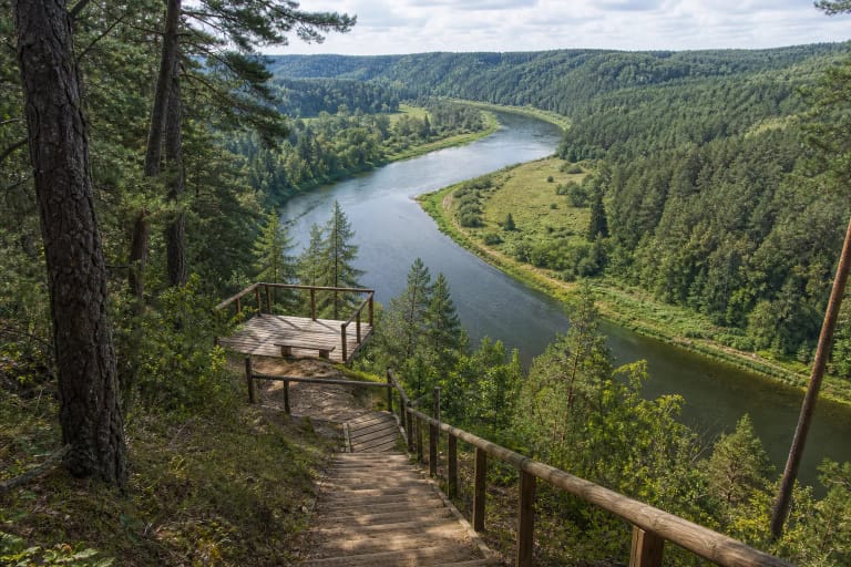
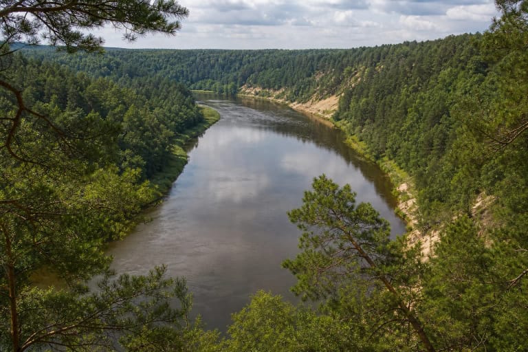
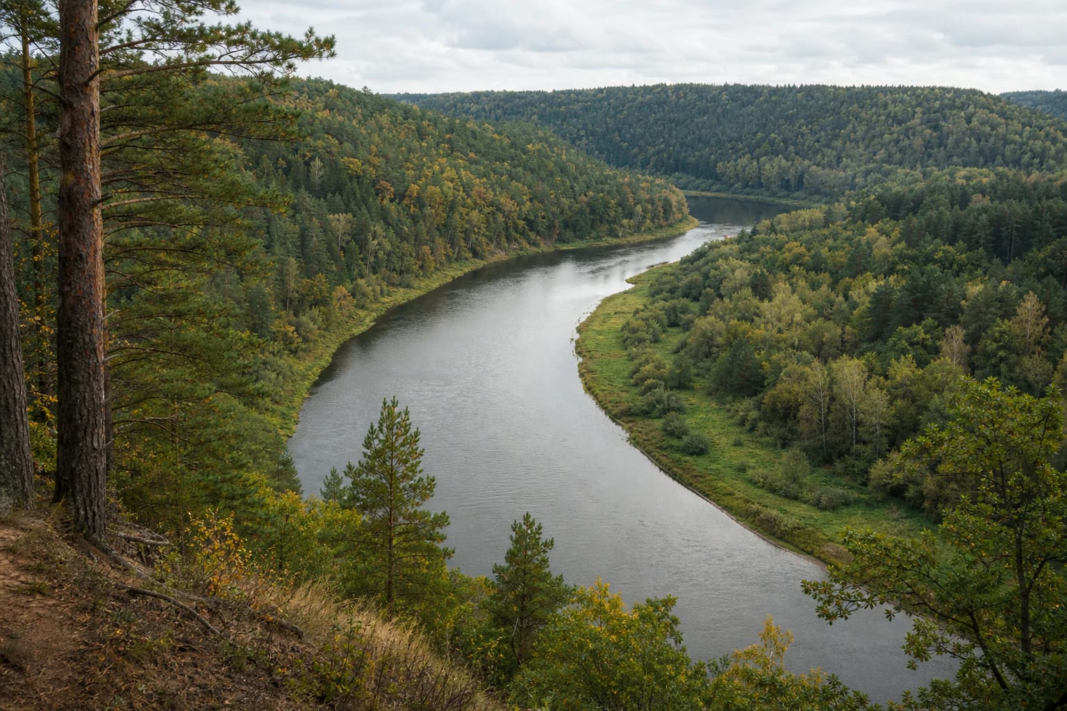
The great Neris loops are the park's strongest landscape feature. The river winds through a broad valley, while lateral erosion has formed steep slopes, terraces, ravines, and outcrops. From higher ground, the view is not just a strip of water but a complete pattern of woodland and meadow.
The scarps of Neris Regional Park are a separate geological context rather than one object marked by a single fence. Karmazinai, Dūkšta, Bražuolė, and other outcrops, along with conglomerates, reveal different layers of the valley's structure. Stay on established paths and viewpoints near edges.
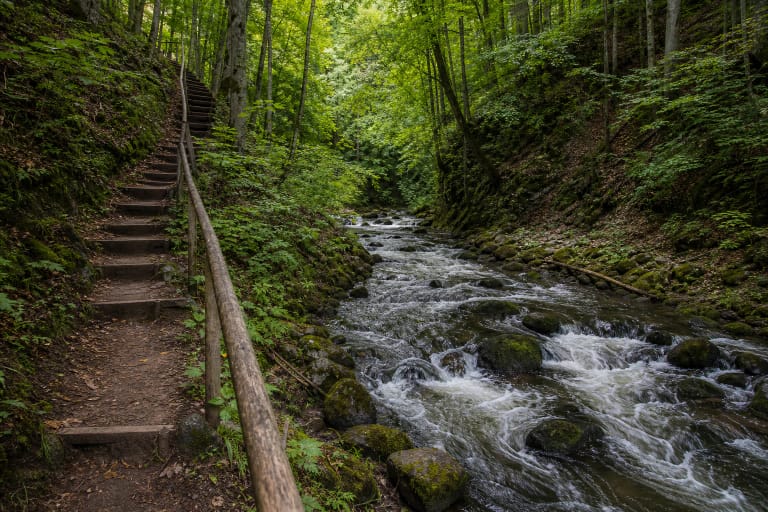
Natural surfaces, roots, and slope edges become slippery after rain. A direct shortcut downhill is not necessarily safer or more rewarding: marked routes reveal the scale of the valley through changing woodland, river, and open panoramas.
Dūkštai Oakwood, Streams, and Confluences
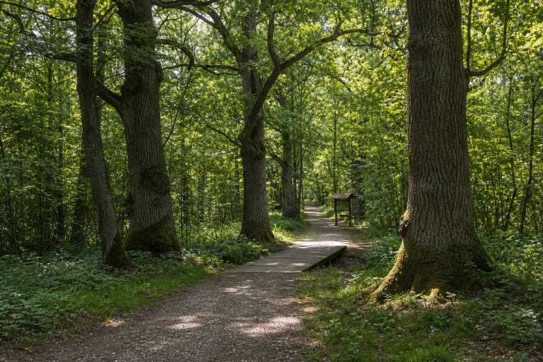
Dūkštai Oakwood is one of the park's most important natural values. Old oaks, woodland floor, and damper valley sections create a different experience from the open Neris slopes. On the oakwood trail, slow down and observe the structure of the forest, not only individual trees.
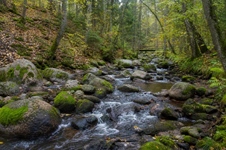
The Dūkšta, Saidė, and Bražuolė flow through the park. The Dūkšta valley narrows into pronounced relief, the Saidė is known for its boulder-filled lower channel, and the Bražuolė adds to the Neris valley's network of watercourses. Stream routes can be damp and uneven, so distance alone does not describe their difficulty.
The Saidė-Neris confluence, the Dūkšta valley, and other waterside places are sensitive to trampling and bank erosion. Stay on the path, do not move stones, do not widen informal spurs, and show children where safe access ends.
Hillforts, Burial Mounds, and Living Villages
Neris Regional Park protects an old landscape of travel and settlement as well as a river valley. Park descriptions mention a chain of hillforts, the Karmazinai and Popiai burial mounds, sacred hills, mythological stones, and other archaeological sites that record a long human presence beside the Neris.
Karmazinai Nature Trail conveniently joins a woodland route, a burial-mound cemetery, and views over the river valley. Around Dūkštos and Bradeliškės, heritage points meet stream and outcrop relief, so one route can become both a nature and history lesson.
The linear village of Grabijolai and other old settlements help explain how people adapted to the valley, woodland, and river. Visit respectfully: do not enter private yards, film residents without consent, or park where you obstruct local traffic.
Protected Nature and Clear Visiting Rules
The official park description highlights the protection of Dūkštai Oakwood, the river valley, woodland, and rare species. The park includes reserves and natural-heritage objects, so a scenic slope or clearing is not automatically a place for camping, fires, or driving.
Pitch tents and light fires only at designated camping and recreation sites, leave cars in marked areas, and take rubbish with you. Some reserves may have seasonal access restrictions, so check current park notices and signs on the ground before setting out.
A protected area's value is more than a view. Do not pick plants, remove fragments from protected objects, damage hillfort slopes, or ignore dog-walking rules. If a trail is temporarily closed or unsafe, choose another sector instead of going around a barrier.
How to Plan a Day Route
For a first visit, start at the visitor centre, collect the current trail map, and choose one objective: the Dūkšta valley, Dūkštai Oakwood, Karmazinai, the Saidė confluence, or another viewpoint. The visitor-centre exhibition and guided services can have separate arrangements, so check hours and prices before travelling.
Two to four hours is enough for one nature trail and several stops. A full day can combine a natural route with Karmazinai burial mounds or Grabijolai, but some places require driving between them. Do not plan several long trails merely to make the map look fuller.
Firm footwear helps in most seasons: woodland soil, roots, stairs, slopes, and damp banks vary by route. Supervise children near steep places, and visitors with mobility needs should assess the chosen trail's surface, stairs, and access distance in advance.