- Place
- Šiauliai City Municipality
- Region
- Šiauliai Region
- Type
- roughly 1,179-1,197 ha shallow overgrowing lake with a town bathing site and protected western shores
- Address
- Eastern shore of Lake Rėkyva, Poilsio g., Šiauliai
- Coordinates
- 55.86489, 23.30631
- Visit duration
- 1-3 hours for the eastern shore and beach; there is no continuous recreational trail around the lake
- Best time
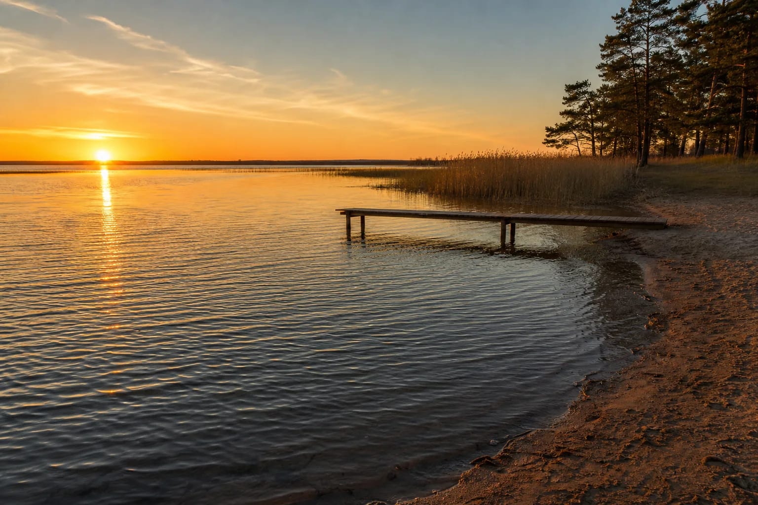
- a calm summer sunset, after checking the newest bathing-water result
Rėkijavas, Lake Rėkyva in Šiauliai
Large yet remarkably shallow
The oval lake is about 4.7 km long and up to 4.1 km wide. VLE gives 1,196.8 ha while monitoring documents use 1,179.2 ha, reflecting different measurements or boundaries. Both agree on a 4.8 m maximum and roughly 2 m average depth.
Shallowness matters in practice: wind quickly raises short waves, while bottom sediment and shoreline type affect the water and shallows. A large surface should not be mistaken for uniformly deep or easily accessible water.
A remnant glacial lake on a watershed
The basin is a remnant of a proglacial lake. Rėkyva lies on the watersheds of the Mūša, Venta, Dubysa, and Nevėžis river systems, making it an unusual watershed water body. It had no natural outflow until the early twentieth century.
Engineering later altered the regime: the Bankas Canal was excavated in 1910, artificial outlets developed, and an overflow structure was installed in 1978. Modern level and ecology reflect both natural wetland processes and human intervention.
Bog, reserve, and sensitive shores
Rėkyva Bog, woods, and low, sometimes eroding banks surround much of the lake. Western and south-western shores fall within a botanical-zoological reserve protecting the wetland complex and its species. A southern peat operation is subject to long-term monitoring.
Not every shore is open or suitable for swimming. Do not create tracks through bog, drive motor vehicles across sensitive ground, or enter reed beds. Use the established recreation infrastructure on the eastern shore.
Rėkyva bathing site and water quality
During the season, Šiauliai Municipality monitors Rėkyva with its other bathing sites. Samples on 22 June 2026 remained within microbiological limits, showed no bloom, and found none of the tested parasite stages in sand. That was a dated result, not a promise for the whole summer.
Check the latest municipal table and the beach notice before entering. Rain and heat can alter conditions. Avoid unmarked marshy shores where depth, vegetation, and rescue access are unknown.
Planning the visit
Because the map coordinate represents the whole lake, navigate to Rėkyva Beach or a named eastern-shore access. A single evening can combine the beach, pier, and a short settlement-side walk.
The lake has no fee or opening time, but bathing supervision and seasonal services keep their own hours. Bring wind and insect protection, remove litter, and wear a life jacket for water sports. The open horizon excels at sunset, but do not swim far offshore after dark.