- Place
- Lazdijai District Municipality
- Region
- Dzūkija
- Type
- public 60 m bathing area with a pier and basic recreation facilities beside Lake Seirijis
- Address
- Ežero Street, Seirijai Eldership, Lazdijai District
- Coordinates
- 54.21292, 23.83619
- Visit duration
- 1-3 hours for swimming and rest; about one hour is enough for a short stop
- Best time
- 1 June-16 September during the municipality's monitoring season; after a downpour, wait for the latest water assessment
Seirijis Lake Beach, Seirijo ežero maudykla, Seirijo ežero paplūdimys
An official public bathing area beside Ežero Street
The Hygiene Institute registers the site under the official name Seirijis Lake Bathing Area and code LT0015959610030210. Its management type is listed as public, with Lazdijai District Municipality carrying out the administrative functions. The site joined Lithuania's monitored bathing-area list in 2024.
The coordinates on this page, 54.212922, 23.836189, mark the visitor access. The official water-sampling point is 54.212866, 23.835867, approximately 22 m closer to the shore. The small difference is deliberate: navigation needs a point on land, while the laboratory point marks the sampled water.
The beach lies beside Ežero Street, which the official profile places about 30 m away. Park only where stopping is clearly permitted, and never obstruct the watercraft launch within the shore area.
A 60 m semi-natural sand-and-gravel shore
The 2024 profile classifies the beach as semi-natural, gives its surface as sand and gravel, and records a length of 60 m. Average bathing depth is approximately 1 m and maximum bathing depth 2 m. These are measurements for the monitored bathing area, not the depth of the entire lake.
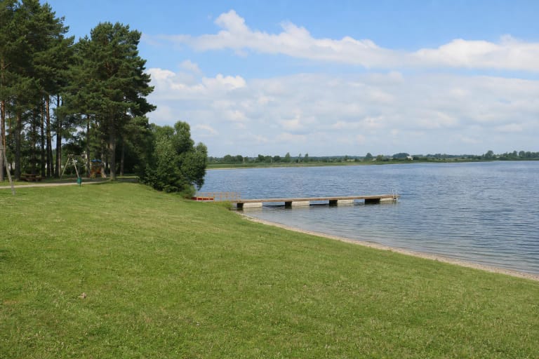
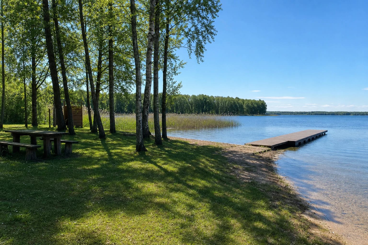
Facilities listed at the shore are a pier, benches and a table, a changing cabin, a portable toilet, and waste containers. A maintained lawn among birches and other broadleaf trees provides more shade than an open sandy beach. Reeds begin beside the swimming strip, while the pier reaches towards clearer open water.
The Hygiene Institute profile estimates a maximum peak-season load of up to 50 visitors. This is a small site that can fill quickly on a hot weekend. Share the pier considerately, never dive into unfamiliar water, and keep the approach clear for anyone leaving the lake.
Seirijis is one of the larger lakes in Lazdijai District
Encyclopaedia of Lithuania gives Lake Seirijis an area of 503.4 ha, a length of 3 km, and a maximum width of 2.8 km. Its greatest depth is 19.2 m and average depth 7.9 m, far beyond the official 1 m average and 2 m maximum in the bathing area. Sources give the winding shoreline as either 10.5 or 9.7 km.
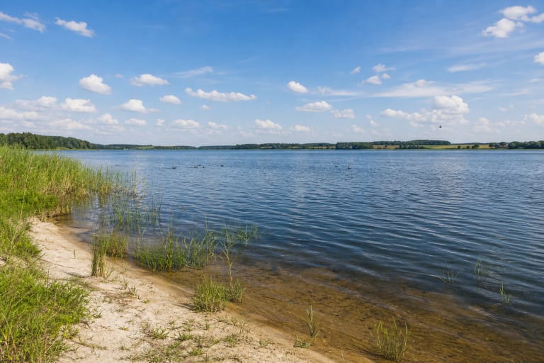
The lake basin formed in a block of buried glacial ice. Its broad littoral shelf is sandy and gravelly, although reeds, bulrushes, and pondweeds fringe much of the shore. Encyclopaedia of Lithuania gives summer water clarity as 3-5 m, but that is a lake-wide characteristic rather than a guarantee of visibility at the beach on any particular day.
The Sagavas stream and several smaller streams enter Seirijis, while the Seira leaves the southern end before eventually reaching the Baltoji Ančia. This throughflow makes the beach part of a larger water system and helps explain why conditions can change after heavy rain even when an earlier laboratory sample passed.
Published 2026 samples through 15 July met the standard
Lazdijai District Municipality's 2026 table marks samples from Lake Seirijis taken on 29 May, 12 and 26 June, and 15 July as meeting the microbiological requirements of HN 92:2018. Results for later scheduled dates had not yet been published when this guide was checked, so four compliant samples are not a guarantee for the rest of the season.
The 2024 Hygiene Institute profile still showed the long-term quality class as unassessed because the bathing area only entered the monitored list that year. This does not mean poor water quality; it means that several seasons of evidence were not yet available for classification. Check the municipality's latest table and the information board on every visit.
The profile identifies possible short-term pollution during severe rain, when surface runoff from the nearby street could affect the water for 1-2 days. It records no point or diffuse pollution source in the influence area, but cyanobacterial spread had not been tested when the profile was prepared. Do not swim if the water is visibly blooming or an official warning is posted.
Practical access and safety around the pier
For 2026, the municipality gives its monitoring season as 1 June to 16 September. The official sources checked list no ticket, gate, or fixed beach opening hours, so the shore is normally free to visit. Monitoring dates describe the water-testing period, not permission to swim regardless of weather or local warnings.
The official profile does not confirm a permanent lifeguard service or step-free access throughout the site. Natural lawn, sand, and gravel may create barriers, so assess accessibility on arrival. Keep children within reach beside a bathing area that can reach 2 m depth.
A watercraft launch is recorded within the bathing-area territory. Do not swim in its operating line, keep away from moving boats, and leave the approach free of towels and bags. Bring drinking water, sun protection, and footwear suitable for gravel; use the containers provided or take all rubbish away.