- Place
- Šeškinė Eldership, Vilnius City Municipality
- Region
- Šeškinė, Vilnius
- Type
- a glacial thermokarst lakelet in an esker hollow
- Address
- Gelvonų Street area, Šeškinė, Vilnius
- Coordinates
- 54.72013, 25.26384
- Visit duration
- about 30-60 minutes; longer if you walk along the entire Šeškinė Esker
- Best time
- a bright spring, summer, or autumn half-day; esker slopes and the lakelet edge can be slippery after rain
Šeškiuko ežeriukas, Šeškiuko
Šeškiuko Lakelet is at the northwestern end of the Šeškinė Esker
Šeškiuko Lakelet is a small body of water in an oval thermokarst hollow at the northwestern end of the Šeškinė Esker. The Universal Lithuanian Encyclopaedia gives its diameter as about 50 metres. The lakelet belongs to Šeškinė's natural landscape but is not the same thing as the whole esker or the nearby Ozo Park.
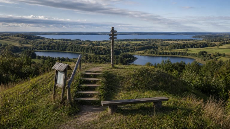
The Šeškinė Esker is a long, narrow, winding glacial ridge on the eastern edge of Šeškinė in Vilnius. At its northwestern end the ridge falls into the lakelet hollow, so the water is best understood as one part of a landform rather than as a standalone urban pond.
The map marks the named lakelet itself. Reach it on existing urban footpaths from the Gelvonų Street side; the point does not promise car access to the water's edge or indicate a constructed loop around the shore.
The lakelet formed in a glacial hollow
The Encyclopaedia describes the Šeškinė Esker as a ridge formed about 16,000-18,000 years ago in a fissure or tunnel of the retreating glacier. The esker is made chiefly of gravel, sand, and boulders deposited by meltwater.
An oval thermokarst hollow remained at the northern end of the esker and became the basin of Šeškiuko Lakelet. Its small scale helps explain why the scene changes quickly with water level, rainfall, vegetation, and season.
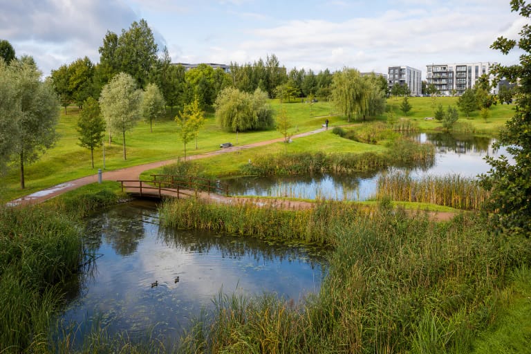
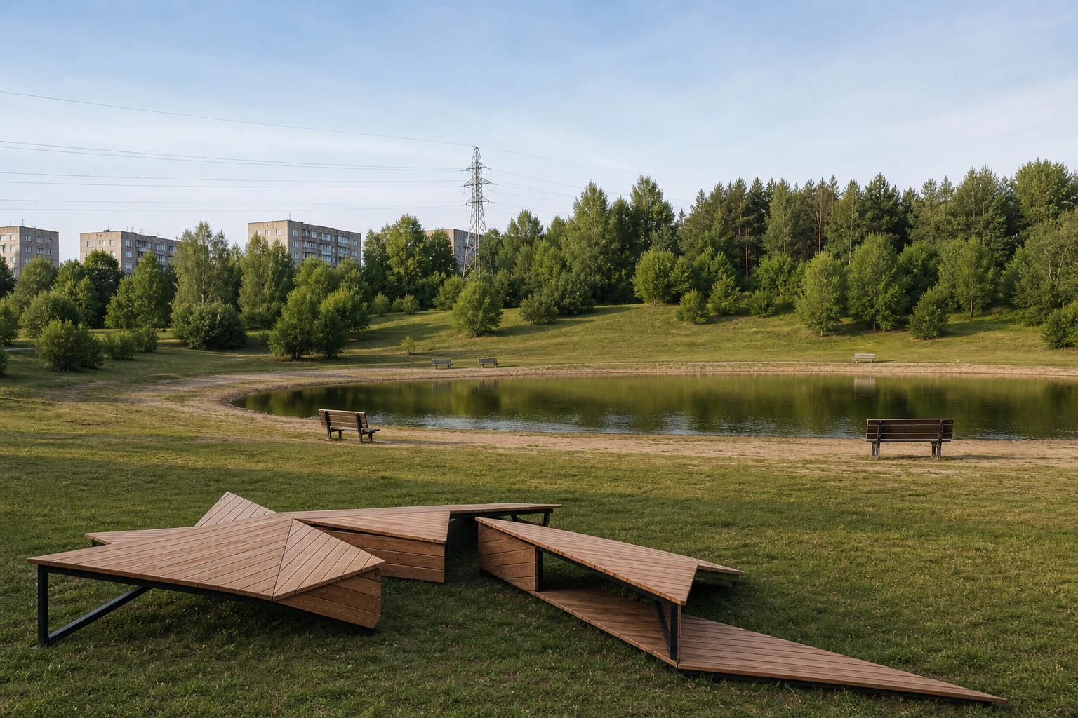
The lakelet is surrounded by low grassy slopes, shrubs, and pines. This is not the shoreline of a large natural lake: the hollow and the narrow esker ridge are as important to the view as the water itself.
Urban nature begins by Gelvonų Street
Šeškiuko Lakelet sits in a densely urban part of Vilnius. The Encyclopaedia notes surrounding apartment blocks and busy streets, while the northern part of the ridge connects with Fabijoniškės Forest Park. The site can therefore be reached as a city walk, but it is not a remote wilderness campsite.
Use clearly established footpaths and do not create new descents across the slope. The esker crest and edges are uneven, and a short urban distance does not mean that every slope suits a stroller, bicycle, or car.
Municipal material records that a set of artistic places to sit and spend time was installed by the lakelet for the local community. Facilities can change, so plan around what is present on the day rather than an older project description.
A calm surface does not make this a supervised bathing site
The official sources checked describe Šeškiuko Lakelet as a thermokarst landform, but do not provide a current supervised bathing designation, lifeguard schedule, or water-quality result. Clear or still water alone does not establish that swimming is safe.
Keep children close to the shore, do not enter the water from an uneven bank, and never walk on the ice. The lakelet is small, but its edge can be muddy, wet, or overgrown, and water depth cannot be judged reliably by sight.
Do not feed waterfowl, leave food, or wash containers at the bank. A small urban waterbody is a sensitive habitat, and visitor concentration should not turn into litter or a network of new informal paths.
Visit the Šeškinė Esker as protected landform
The Šeškinė Esker is a geomorphological natural-heritage object and natural monument. The State Service for Protected Areas lists it among the geomorphological natural-heritage objects of Vilnius City Municipality, so a visit to the lakelet is also an encounter with a protected glacial landform.
Do not erode the sandy and gravelly surface of the esker slopes, climb unstable edges, or cut across grown areas to save a few steps. Do not pick plants, move boulders, or leave waste.
You can extend a short visit to Ozo Park or another Vilnius green route, but those places have different purposes and approaches. Šeškiuko Lakelet is best understood through the whole ridge, hollow, and urban setting together.