- Place
- Plokščiai Eldership, Šakiai District Municipality
- Region
- Suvalkija
- Type
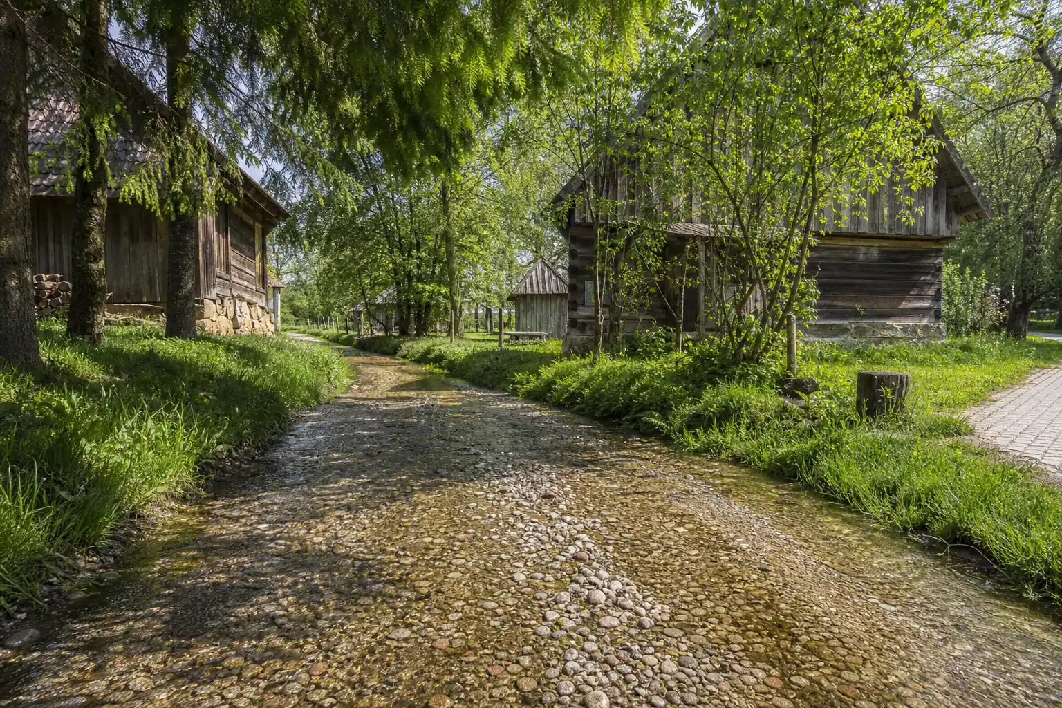
- a spring-fed stream section whose bed serves as the access street for local homesteads
- Address
- Vaiguvos g., Plokščiai, LT-71483 Šakiai District Municipality; Google lists the address as 3807 30
- Coordinates
- 55.08271, 23.17773
- Visit duration
- 30-60 minutes for the river-street itself; 1.5-2 hours for the Plokščiai Nature Trail of approximately 3.3 km
- Best time
- a dry day from late spring to early autumn when the water is low; daylight is the safest time to visit
Vaiguvos upė-gatvė, Vaiguvos upelis-gatvė, Vaiguva Stream-Street
The 4.7-rated Google listing marks Vaiguva River-Street itself in Plokščiai
The exact Google Maps listing is named Vaiguvos upė-gatvė, has place ID ChIJKQZzeAmV5kYR6i8x3IqxdBY, and marks 55.0827125, 23.1777326. On 15 July 2026, it averaged 4.7 out of 5 from 865 reviews. Both the average and review count will change, but at the time of verification they were comfortably above the 4.5 threshold used for this collection.
Google gives the address as 3807 30, Plokščiai, LT-71483 Šakiai District Municipality, while local descriptions and route directions use the street name Vaiguvos gatvė. The State Service for Protected Areas marks an approximate point at 55.083, 23.178, which identifies the same section. This page uses the more precise attraction listing rather than the centre of Plokščiai or the broader nature-trail point at 55.079, 23.172.
VLE describes the Vaiguva as Lithuania's only river-street. That claim is limited to Lithuania: the sources checked do not support the European or world-record labels often repeated online. The place is distinctive without them. This is not asphalt flooded after a storm, but a small, continuously flowing stream whose natural pebble bed serves as access to homesteads.
Several springs keep cold water moving over a firm bed of pebbles
Saugoma.lt says several springs flow into the Vaiguva, keeping its water cold and clear over a bed of pebbles. Official photographs show a very shallow, narrow stream of rounded gravel and small stones, winding between grassy banks, mature spruce and willow, and old timber farm buildings. It is an intimate village hollow rather than a broad river or engineered canal.
The State Service calls more than half a kilometre of the river-street drivable. Some tourism accounts give approximately 200 metres for the most recognisable central stretch, which explains why both figures appear online. This page follows the official figure of over 0.5 km and treats the shorter number as an estimate for one conspicuous section, not the full segment defined by the protected-areas authority.
Clear water does not turn the stones into level paving. Larger rocks, silt, branches, or scoured hollows may be hidden below the surface, and wet pebbles can be slippery. A spring-fed stream still responds to heavy rain, snowmelt, and work in the channel. The official pages checked provide neither a daily depth gauge nor continuous microbiological testing, so do not drink the water merely because it looks clear.
For residents it is access; for visitors it is a place to walk and observe
The protected-areas account says residents reach their homes on foot or by driving along the streambed. That explains the word street, but it is not an invitation for tourists to test a car in the water. Public guidance from Šakiai tourism staff in 2025 again stated that visitors may not drive along the channel and that the improved infrastructure is for walking and wading. Resident access always takes priority over a visitor's photograph.
Leave your car only where stopping is legal and does not block a narrow road, driveway, or emergency access. Do not enter the channel because navigation draws a route through it or because Google says open 24 hours. Follow road signs, temporary restrictions, and private boundaries. If a resident approaches in a vehicle, step into a safe place and do not hold up local traffic for a photograph.
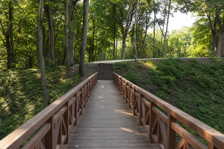
Saugoma.lt mentions wading and cycling among the possible experiences, but both depend on current signs, water level, and your ability. A surfaced pedestrian path follows parts of the river-street, so use the dry alternative wherever directed. Closed water shoes with grippy soles are useful for wading; supervise children, stay out after heavy rain, and do not cycle where doing so would obstruct access to the homesteads.
The river-street belongs to a protected valley but is not the whole Plokščiai trail
Vaiguva River-Street lies in Panemuniai Regional Park, established in 1992 to protect the lower Nemunas valley, erosional slope systems, and the deep lower courses of small tributaries. The park account includes the Didžupis and Vaiguva valleys with Šventduobė Spring among the values of the Nemunas Landscape Reserve. It lists Vaiguva as another natural attraction, not as a standalone state-protected natural heritage object or natural monument.
The Plokščiai Nature Trail of approximately 3.3 km is the wider route; the river-street is only one section. Saugoma.lt says the path beside the Vaiguva passes Plokščiai-Vaiguviškiai Hillfort before continuing towards Šventaduobė and its spring, the Church of the Holy Name of the Virgin Mary, and the Kančių keliai memorial complex. Allow 30-60 minutes for the river-street alone and a sensible 1.5-2 hours for the complete circuit.
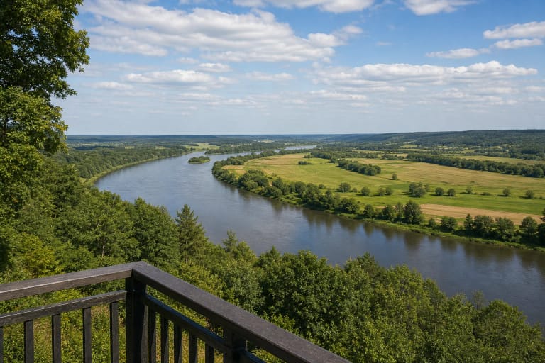
Keep the map points distinct. Plokščiai Viewpoint stands beside the church and opens a panorama over the Nemunas valley. Šventaduobė occupies a ravine in the Didžupis valley, roughly a kilometre away, and Plokščiai-Vaiguviškiai Hillfort is another stop on the nature trail. The Vaiguva listing marks the specific stretch of water and homesteads in the lower village.
A vanished Vaiguva boulder links the place with Vincas Kudirka and the National Revival
VLE records the first mention of Plokščiai in the 1665 inventory of Gelgaudiškis Manor. A district court operated here in the second half of the nineteenth century, and during the Lithuanian press ban the village became a centre for distributing prohibited Lithuanian publications. From 1889 to 1899, educator and book smuggler Petras Kriaučiūnas served as a judge. Jonas Jablonskis, Antanas Baranauskas, Vincas Kudirka, Gabrielė Petkevičaitė-Bitė, and other cultural figures visited his home.
Saugoma.lt records one detail specifically tied to the Vaiguva: until the First World War, a large boulder lay in the stream and Kudirka would rest and write on it while walking in the area. The local tourism account says the stone was broken up during the war, its pieces were turned into millstones, and those stones were later returned to the centre of Plokščiai. The present memorial object is therefore not an intact boulder surviving in its original position in the Vaiguva.
Stories of secret meetings between Kudirka and the Finnish writer Maila Talvio beside the stone survive in local memory, but the authoritative sources checked do not present them as proven biography. Kudirka's visits to Kriaučiūnas and the official account of him writing on the Vaiguva boulder are documented. The romantic episode should be understood as a story, not a verified event.
Google's 24-hour label does not mean a lit path or permanently safe water
On 15 July 2026, Google showed 24-hour access, while the official pages for the Vaiguva and Plokščiai trail published no separate admission fee, ticket office, or gate schedule. A lived-in village lane does not operate like a museum, however, and the Google field is not an official promise of unrestricted access in all conditions. Daylight makes submerged stones easier to see, allows safer passing around local traffic, and causes less disturbance to residents.
Before travelling, check the official Saugoma.lt page, the forecast, and signs on site. Conditions after intense rain, spring snowmelt, channel maintenance, or a local event may differ sharply from photographs. If the water is cloudy, the current is stronger, access is closed, or a sign sends visitors another way, use the dry path and do not insist on entering the stream. Free access does not permit entry into yards, climbing on structures, or picnicking in resident access areas.
The sources checked do not confirm a continuous step-free route along the entire river-street. The adjoining block-paved path makes some parts easier, but the uneven streambed, sloping banks, damp surfaces, and natural sections of the wider trail may not suit a wheelchair or pushchair. If access is important, ask Panemuniai Regional Park Visitor Centre or Plokščiai Eldership about current path conditions before travelling.