- Place
- Ignalina District Municipality
- Region
- Aukštaitija
- Type
- lake by the town of Dūkštas
- Address
- Lake Parsvėtas, Dūkštas, Ignalina District
- Coordinates
- 55.53621, 26.32303
- Visit duration
- 1-2 hours, for a short waterside stop or combined with sights around Dūkštas
- Best time
- late spring, summer, and early autumn; choose a bright calm day for views and wear grippy shoes after rain
Parsvėtas Lake, Parsvėtas near Dūkštas, Parsvėtas in Ignalina District
Lake Parsvėtas begins at Dūkštas's northern edge
Lake Parsvėtas lies in Ignalina District Municipality, on the northern edge of Dūkštas. VLE also places it near the Vilnius-Daugavpils railway and the Vilnius-Zarasai road. These are useful geographic landmarks, but they do not promise a safe or lawful waterside access from the tracks or road.
The lake covers 87.4 hectares, is about 2.1 kilometres long from north-west to south-east, and reaches 0.7 kilometres at its widest. Its surface elevation is 154.6 metres. Parsvėtas is a tunnel-valley lake, with a form shaped more by glacial relief than by a round urban pond.
The coordinate 55.5362103, 26.3230278 is a representative lake point in the Ažukarklinė area. It helps with orientation at Parsvėtas but does not name a particular beach, entrance, landing place, or car park.
High shores and a closed basin shape the visit
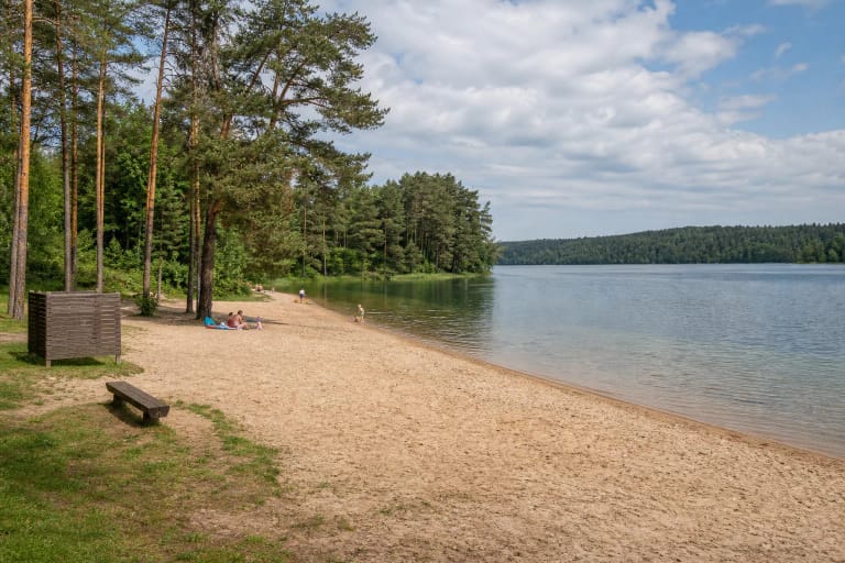
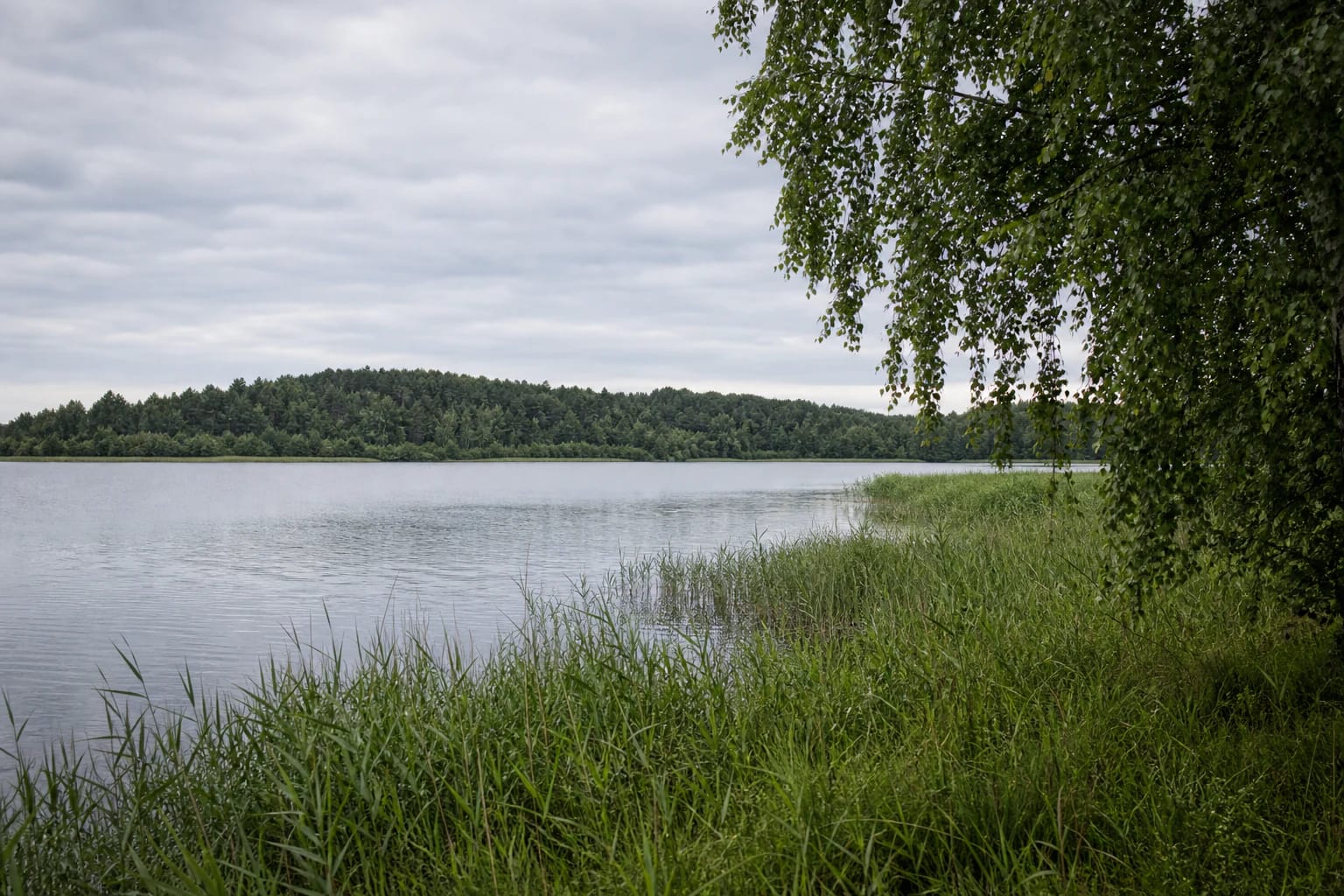
The shoreline of Parsvėtas is not very winding and is about 4.8 kilometres long. Shores are mostly high and steep, and the eastern shore is described as eroding. This means changing visibility and no uniform access: grassy ground can quickly become a slope or reed bed.
The lake has no through-flow and belongs to the Dysna basin. That hydrological fact is not visible as a current, but it helps explain why Parsvėtas should be understood as a separate water body rather than a stop on a river route.
A high shore and open water can make a strong photograph, but they are not a safety guarantee. Keep away from sudden edges, do not let children walk unsupervised, and wear shoes with good grip after rain.
Dūkštas Manor and the hillfort widen the landscape
North of Parsvėtas, at Dukšteliai, stands the Dūkštas Manor estate and park. North-west of it, VLE records Dūkštas Hillfort and settlement. These are not one combined lakeside facility, but they give the water a historical and archaeological setting.
For a day trip, separate three experiences: the lakeside view, the manor park, and the hillfort landscape. Each can have its own road, parking conditions, and visiting regime, so do not use one coordinate as the plan for the entire route.
Dūkštas matters here as more than a place name. The town edge explains why photographs may include signs of settlement, while the lake itself remains a natural water body with reeds, trees, and shore sections that are not uniformly accessible.
Parsvėtas is not a confirmed town beach
The map point represents Lake Parsvėtas, not an official bathing site. This guide does not name a particular beach because the available sources do not establish that one selected shore has town-beach infrastructure, water-quality monitoring, or lifeguards.
The Ministry of Environment reminds visitors that people may pass along a shore freely, but must reach the water by a public road, path, or other lawful route. Do not cross private property without permission, use someone else's jetty, or park on the bank simply because it offers a view.
If a local sign, fence, warning, or other visiting condition is present, follow it on site. Do not collect plants, damage slopes, or leave litter; a small lake's shore quickly loses its quiet character after a few careless stops.
What to know before visiting Lake Parsvėtas
Lake Parsvėtas suits a short landscape stop and a slower day around Dūkštas. Allow about 1-2 hours for the lake, planning the manor park and hillfort separately if you combine them. A shoreline length is not the length of a marked nature trail.
Check the forecast and road conditions before leaving, especially if you intend to approach a rural bank. Leave the car only in a lawful place, stay away from steep edges, and do not approach the water after dark when the shore profile is hard to see.