- Place
- Molėtai District Municipality
- Region
- Aukštaitija
- Type
- irregular glacial lake with wooded shores and islands
- Address
- Virintai Lake, Molėtai District
- Coordinates
- 55.29740, 25.47495
- Visit duration
- 1-3 hours at one shore point selected in advance
- Best time
- May to September is most convenient for the lakeshore landscape and longer time outdoors; after rain or in windy weather, assess shore and water conditions.
Lake Virintai
Virintai is a lake, not one developed visitor point
Virintai lies in Molėtai District about 7 kilometres northeast of Molėtai, beside the Molėtai-Utena highway. The coordinate 55.29740035, 25.47494995 is a representative lake point, not a universal swimming beach, pier, or car-park access.
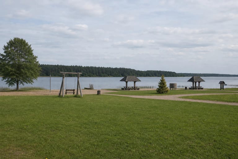
Shore access depends on the chosen bank and lawful approach. If your goal is swimming, boating, or a longer walk, check the facilities of the specific place rather than relying on the lake name alone.
This tunnel-valley lake is deep and branching
VLE gives an area of 255 hectares, while current Fisheries Service documents assign Virintai 281.2 hectares. Because the official sources use different figures, this page does not collapse them into one supposedly exact number. VLE's other measurements - 4.5 kilometres long, up to 1.2 kilometres wide, and a winding 12.2-kilometre shore - convey the scale more usefully to a visitor.
The maximum depth in the central part is 35.7 metres, the average is 10.6 metres, and the surface lies 134.6 metres above sea level. A calm view from shore does not reveal depth or bottom conditions, so swimming or boating at an unfamiliar point requires particular care.
Wooded shores, islands, and inflows create changing views
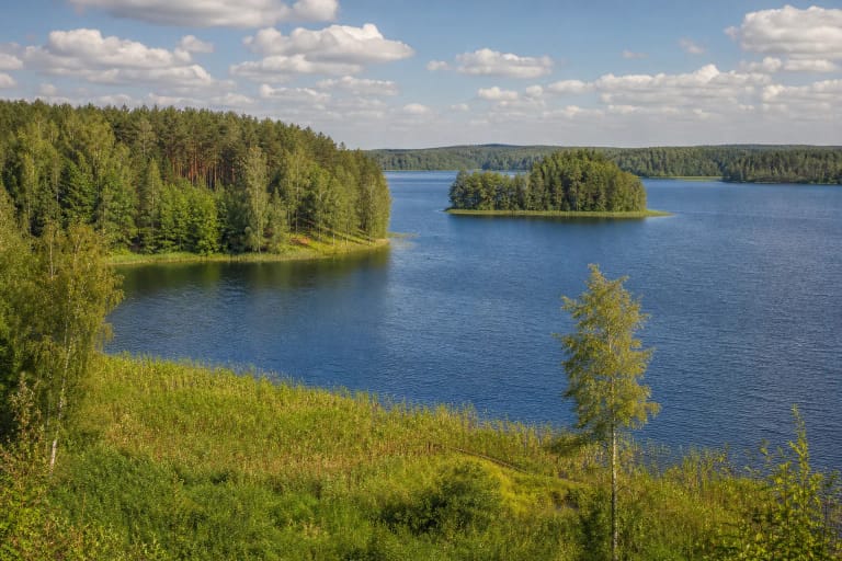
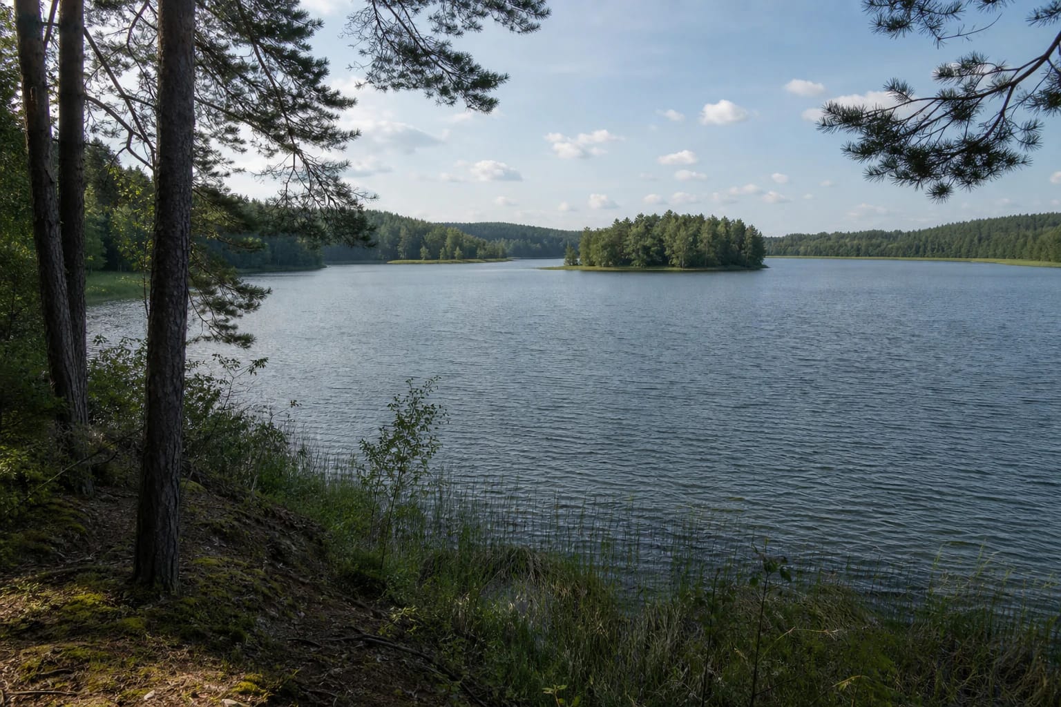
Virintai's shores are mostly high, the southern banks are wooded, and the lake has two islands with a combined area of 1.2 hectares. Bays, peninsulas, and woodland edges offer more than one landscape perspective.
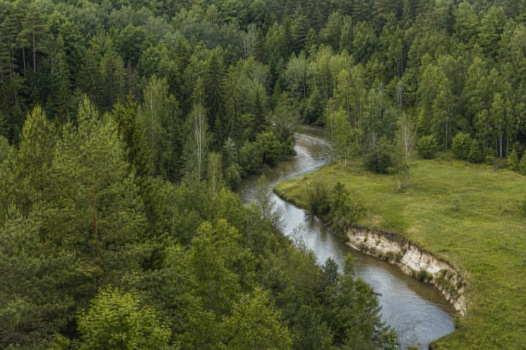
Alsūnė, Graužė, and Skardis flow into Virintai, while the Virinta flows out; the lake belongs to the Šventoji basin. It is part of a living water system, so keep quiet near the shore, avoid damaging vegetation, and leave no rubbish.
Nature and archaeology meet on the southwestern shore
VLE places Sližiškiai Hillfort and Padumblė Barrow Cemetery in the southwestern Virintai landscape. The cultural property register identifies Sližiškiai Hillfort with its settlement as monument 24029; the nearby barrow field is officially named the Sližiškiai and Padumbė Barrow Cemetery by the Cultural Heritage Department.
These are separate archaeological territories rather than developed lake viewpoints. Do not cross private plots, disturb barrow mounds or slopes, and verify a lawful approach to each site before combining them in one outing.
Plan the visit around a chosen shore and the weather
Virintai suits a quiet landscape stop, photography, and a chosen walk, but a long shoreline does not mean every point has benches, toilets, bins, or rescue infrastructure. Bring water and do not leave a car on the forest floor.
The lake has no single visiting schedule or general admission ticket, but individual shores, rentals, or recreation services may have owners, charges, and rules. Assess wind and waves, supervise children continuously, and take care on high natural banks after rain.