- Place
- Joniškis District Municipality
- Region
- Žagarė Regional Park
- Type
- natural raised-bog lake
- Address
- Mūša Tyrelis Telmological Reserve, Gaižaičiai Eldership, Joniškis District
- Coordinates
- 56.21640, 23.25310
- Visit duration
- about 30-60 minutes for the 1.2 km out-and-back; several hours for the 6.0 or 6.8 km loop
- Best time
- May to October, on a drier day with enough daylight for the long bog route
Miknaičiai Lake in Mūša Tyrelis, Miknaičiai ežeras
Joniškis District's only natural lake
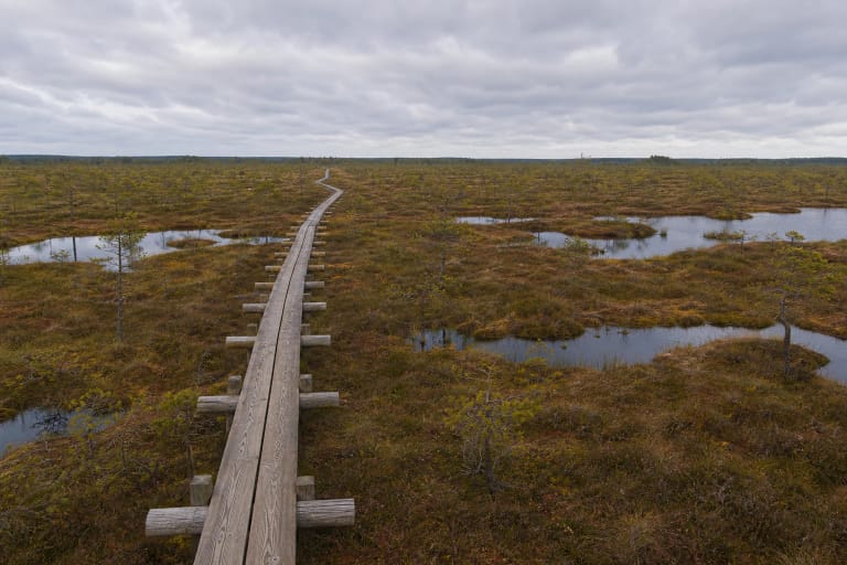
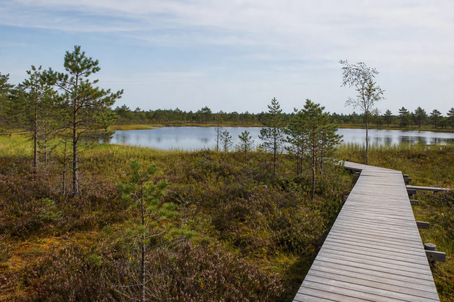
Miknaičiai Lake lies in the eastern raised bog of Mūša Tyrelis. VLE gives its area as 5.7 ha and identifies it as the only natural lake within Joniškis District Municipality. It is a small water body, but in the middle of the bog it becomes a clear centre of the landscape.
This is not a separate town beach with a convenient shore road. The lake belongs to a telmological reserve and Natura 2000 site, so the visitor experience is about seeing it responsibly from the marked route rather than reaching every edge of the water.
A relic of a former shallow basin
VLE explains Mūša Tyrelis as a wetland complex formed in a former limnoglacial depression. A large shallow basin gradually became shallower and boggy; Miknaičiai Lake remains as a relic of that basin.
The setting is more than a water view. Raised-bog sphagnum, peat, dwarf pines, pools, and wet woodland show a long transition from open basin to a watershed wetland.
A lake within a protected bog complex
Mūša Tyrelis Telmological Reserve protects raised, transitional, and lowland bogs, peatlands, and wet forests. VLE gives the reserve an area of about 1,676 ha, while the wider bog is included in the Natura 2000 bird-protection network.
Rare plants, protected birds, and wetland insects occur here. Do not make a new path across sphagnum, step into wet margins, or disturb birds. The protected area is asking visitors to use the established route.
Reaching Miknaičiai Lake by trail
The main visitor approach is the Mūša Tyrelis Educational Trail. The Žemaitija Protected Areas Directorate gives three options: 1.2 km to Miknaičiai Lake and back, a 6.0 km short loop that does not cross the Mūša, and a 6.8 km long loop including Tyrelis Stone. Older descriptions use other measurements, so plan with the directorate's current map.
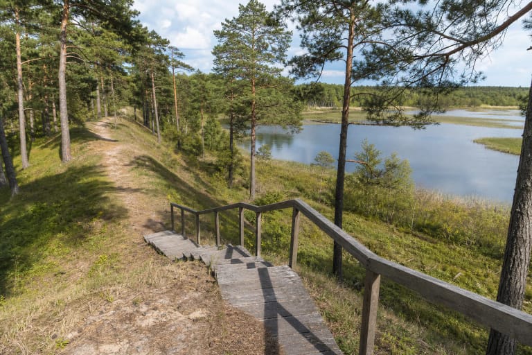
The route crosses open raised bog and woodland edges before reaching the lake in the reserve's eastern part. The coordinate on this page marks a representative lake point; the trailhead and visitor facilities are elsewhere on the route.
A landscape worth watching slowly
Around Miknaičiai Lake, a broad and quiet bog horizon meets low pines and distant woodland. Wind brings out the open bog's movement, while still weather lets the water reflect the sky and shore trees.
The Mūša Tyrelis route also includes the landscape where the Mūša and Juodupis begin, information stands, a wooden tower, and historic memory sites. Those are experiences of the reserve route, not separate facilities at Miknaičiai Lake.
Visiting a sensitive raised bog
The 1.2 km out-and-back to the lake usually takes about 30-60 minutes, while the 6.0 or 6.8 km loop needs several hours. Carry water, wind protection, and comfortable shoes. Timber can be slippery after rain, while the exposed bog changes quickly in wind and cold.
Reserve and trail rules matter more than getting closer to the water: stay on the boardwalk, do not smoke or light fires, and take all rubbish out. The checked official pages publish no separate Miknaičiai Lake ticket or opening hours, but check current reserve information before travelling.