- Place
- Trakai District Municipality
- Region
- Upper Strėva Valley
- Type
- a natural lake in the upper-Strėva chain of water bodies
- Address
- Lake Stanka, Strėva area, Trakai District
- Coordinates
- 54.58646, 24.70297
- Visit duration
- 30-90 minutes for a quiet stop; longer when combined with a Strėva route
- Best time
- late spring to autumn; choose dry weather for an undeveloped shore
Stankos Lake, Ežeras Stanka, Stauka, Kaukas
Lake Stanka Is an Upper-Strėva Lake
Lake Stanka, or Stankos Lake, is a natural lake beside Strėva village in Trakai District Municipality. VLE records that after leaving Lake Spindžius, the River Strėva flows through Stanka and then Bagdononys Reservoir. The lake is therefore a distinct link in the upper river's chain rather than an isolated water body.
The upper Strėva as far as Stanka lies in the Spindžius Landscape Reserve within Aukštadvaris Regional Park. VLE places the Strėva Sinkhole about 450 metres southwest of the lake, but reach it safely by the official Green Trail instead of cutting directly through woodland.
The coordinates 54.58646, 24.70297 on this page mark a representative point on Lake Stanka. This is map orientation, not a promise that a car can reach the water or that a public bathing site is provided.
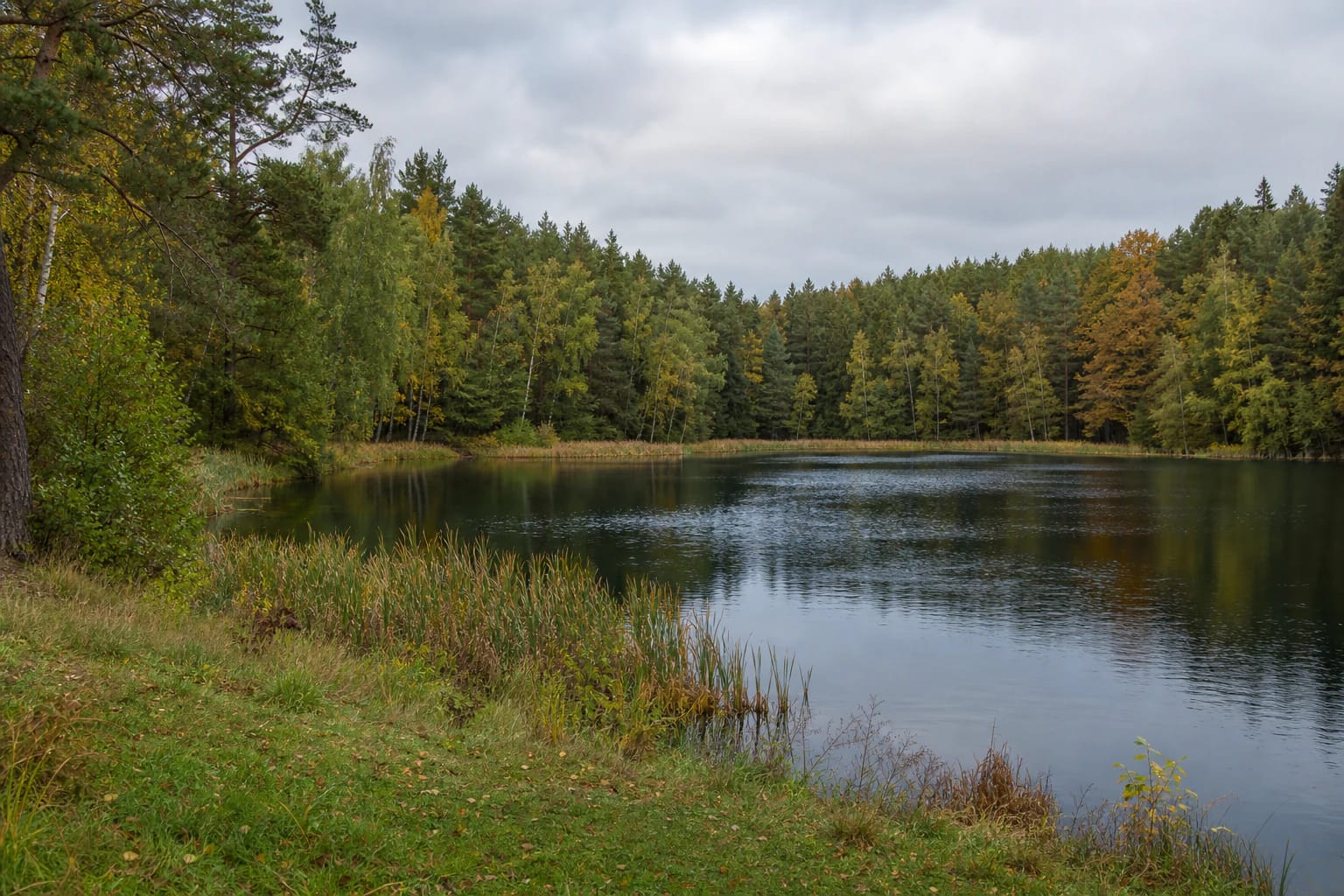
A Wooded Shore and Quiet Water
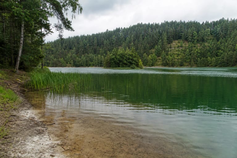
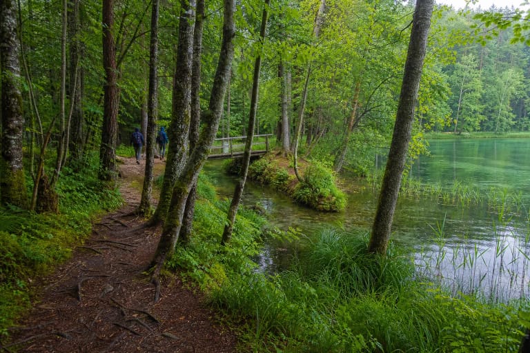
Lake Stanka is surrounded by a less urbanised setting than the major Trakai or Elektrėnai waters. Woodland, grassy banks, and reedbeds change the water's edge, so observe the lake slowly instead of treating every metre of shore as a road access.
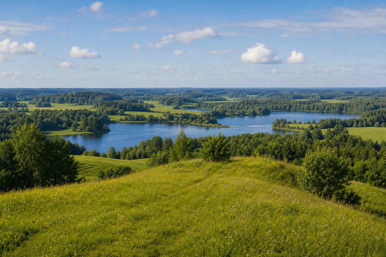
A small lake can tell as much as a wide panorama: the woodland transitions into damp shore, wind changes the water surface, and the season colours the deciduous trees. This is better suited to a quiet nature pause than to a loud day built around facilities.
The bank may be wet, uneven, or overgrown. Grass and ground become slippery after rain, and reeds can hide the water's edge. Do not enter the water without checking the bottom, depth, and local conditions, and supervise children closely.
Access Is Not the Same as a Developed Visitor Site
Lake Stanka is not presented as a developed nature trail or official town beach. Before driving out, check whether the chosen road is public, whether stopping is lawful, and whether the final approach crosses private land.
A map point may show the centre of the water body or a representative location rather than a real shore access. Park only where permitted, without entering a meadow, blocking a road, or obstructing residents or farm machinery.
If an approach is fenced, marked private, or lacks a safe descent, do not bypass the obstacle through woodland or along the shore. Choose the Strėva Green Trail or another officially described route instead and leave Lake Stanka for another trip.
A Water Body Without a Beach Promise
This Lake Stanka guide is not a swimming recommendation. The official sources used to identify and register the lake do not confirm a supervised beach, lifeguard post, or current water-quality tests for this particular site.
If you plan to swim, first seek current municipal or public-health information and assess whether the chosen access is lawful and safe. Do not drink unknown water, and stay out if you see signs of algal bloom, odour, or pollution.
Fishing, boating, and overnight stays are also not automatically allowed merely because the water body appears on a map. Check general rules for water bodies, fishing, camping, and private land, and follow signs on the ground.
The Name Stanka and a Story from the Strėva Region
A State Service for Protected Areas publication records a local story that the lake was once called Kaukas. Travellers supposedly stopped at a Strėva village inn to rest and water their horses, called the stopping place a pristanka, and transferred the name to the lake. This is oral tradition, not a proven etymology.
Lake Stanka works best as one stop in a larger upper-Strėva outing. Lake Spindžius shows the scale of the water chain, while the 7.5 km Green Trail provides a clearer route through Spindžius Forest, lake shores, and the Strėva Sinkhole.
Half an hour to an hour is enough for a quiet stop, but photography, birdwatching, or walking from lawful parking will extend the visit. Do not make Lake Stanka the only goal if you cannot find a clear and safe access on the day.
Responsible Visiting Beside a Small Lake
Small shores quickly show the effects of visitors. Do not widen paths through reeds, park on grass, leave rubbish, damage the bank, or make noise near residential homesteads.
Keep dogs under control as required by local and general nature-protection rules. Do not enter reedbeds looking for nests, collect plants or animals, or light fires outside a designated place.
Lake Stanka is most suitable for visitors who accept undeveloped conditions: there is no guaranteed trail, bench, or public toilet. Take a backup route and leave if natural or access conditions raise doubts.