- Place
- Sendvaris eldership, Klaipėda District Municipality
- Region
- Samogitia
- Type
- 35.6-hectare reservoir with limited-fishing sectors
- Address
- Laukžemiai Reservoir, around Radailiai village, Klaipėda District
- Coordinates
- 55.79093, 21.19563
- Visit duration
- 1-3 hours; plan fishing time around a valid reservation
- Best time
- a dry day from spring to autumn in daylight; follow the rules in force at the waterbody that day
Eketė Reservoir, Laukžemio tvenkinys
Laukžemiai Reservoir and the Eketė Reservoir: one water body
The official name of the water body is Laukžemiai Reservoir, but fishing and local descriptions also call it the Eketė Reservoir. These names refer to the same dammed section of the Eketė in Klaipėda District, not two different lakes.
The reservoir lies around Radailiai and Laukžemiai in Sendvaris eldership. The coordinates 55.790932, 21.195633 mark the approximate centre of the water body, so they are not the address of a gate, car park, fishing sector, or single access point.
Before driving to the shore, check the manager's current directions and sector map. Different parts of the bank may have different uses, and a general waterbody marker does not give permission to cross private land.
A 35.6-hectare reservoir in the Eketė basin
The reservoir list approved by Lithuania's environment minister identifies Laukžemiai Reservoir as water-body code 20050032, gives its area as 35.6 hectares, and names the dammed river as the Eketė. The river belongs to the Akmena-Danė basin. At this scale, one view from the shore cannot show the whole shape or every shoreline use.
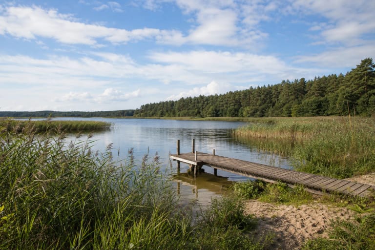
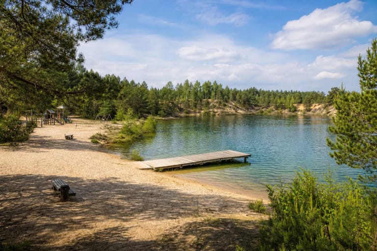
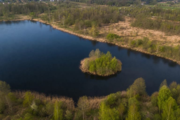
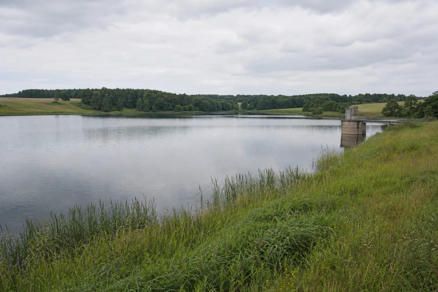
The landscape combines open water, grassy and reedy banks, tree groups, and fields. The Eketė Reservoir infrastructure also reminds visitors that this is a managed hydraulic water body where water levels, banks, and safety arrangements matter alongside the view.
The reservoir belongs to the coastal-river landscape near the lower Akmena-Danė, but the sources do not describe a continuous walking trail around the entire shore. For visitors it is more a managed water body and fishing-sector setting than a prepared tourist loop.
Limited fishing: sectors, permits, and reservations
The managing association's rules say that a fishing sector is used with advance reservation and that fishing generally requires a valid permit. The reservation system lets visitors choose a sector, date, and time, so check whether the desired place is actually available before travelling.
The current rules also specify a sector release time, while permit and catch conditions depend on the particular permit and the general inland recreational-fishing requirements. These conditions can be updated, so an old screenshot or former price is not enough to plan a fishing trip.
The sector rules prohibit parking within 25 metres of the water, littering, and lighting fires outside designated places. Tents and fire in a personal barbecue are allowed by the rules only when the manager's instructions and general fire-safety requirements are followed.
Water monitoring is not automatic permission to swim
Klaipėda District Municipality has included Laukžemiai Reservoir among its summer water-monitoring locations and stated in 2024 that tests were carried out every two weeks. This is useful public-health information, but a previous season's notice does not replace current-year results.
Water monitoring also does not mean that the entire shore is an official beach or that entering the water is safe everywhere. Check the latest municipal results, local signs, and the manager's rules before swimming, and keep children under close supervision near the water.
If you are visiting for the view, stay on marked approaches and do not push through reedbeds. Do not cross water-control structures, climb onto sluices or other technical installations, or launch a boat where the site does not clearly permit it.
Planning a responsible stop
Laukžemiai Reservoir suits visitors who want to watch the water, photograph the shore, or fish in an official sector they have arranged in advance. One to two hours is enough for a short stop, while fishing time is set by the reservation and permit conditions.
The map point is the centre of the water body, so choose a lawful approach or sector named by the manager rather than the nearest random track. Park only where allowed, protect shore vegetation, and do not drive to the water simply to make a photograph easier.
The sources checked do not publish one general visitor ticket or universal opening hours for the entire reservoir. Check the rules, permit system, weather, and water condition before leaving; take rubbish with you, keep noise down, and follow the newest signs on site.