- Place
- Telšiai District Municipality
- Region
- Samogitia
- Type
- lake on the southern edge of Telšiai
- Address
- Mastis Lake, Telšiai, Lithuania
- Coordinates
- 55.96680, 22.25635
- Visit duration
- 2-4 hours for the urban shore, Zakso Hill, and selected lake views
- Best time
- May to September, in dry daylight hours and after checking the latest information before swimming
Mastis, Masčio ežeras
Mastis is the whole lake, not only the Telšiai promenade
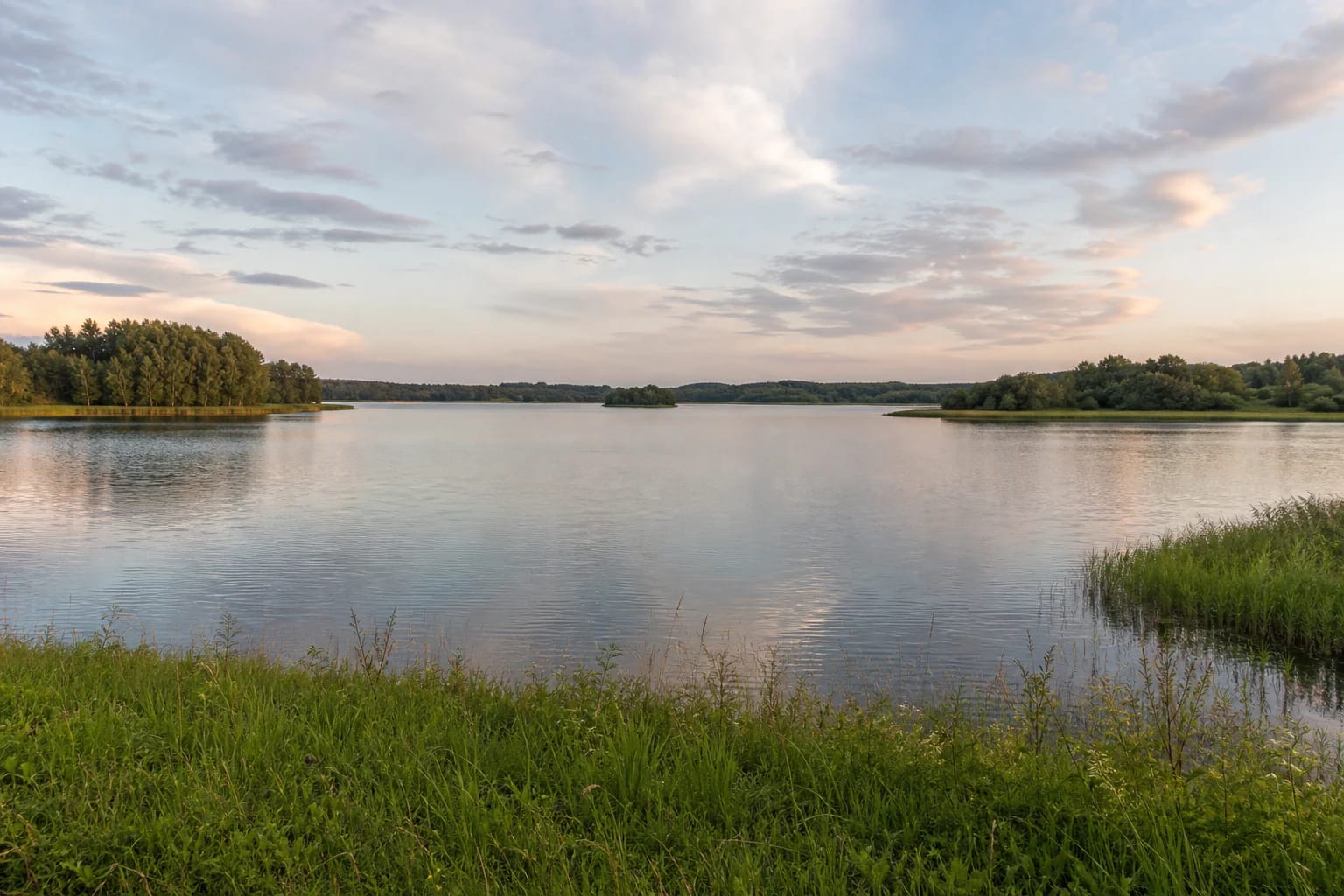
Mastis lies on the southern edge of Telšiai. Visitors often first encounter the northern urban leisure area, but the lake continues beyond it: southern and south-eastern shores are lower and locally boggy, and the water body also includes less urbanised spaces. This page describes Mastis as a whole rather than only the developed waterfront promenade.
The map marker is a representative lake point, not its only entrance, a specific car park, or the exact beach address. The urban shore is easiest to reach through Telšiai's street network; access to other shores must be planned around public roads, signs, and confirmed public approaches.
A broad lake of glacial origin
VLE gives Mastis an area of 272.2 hectares, a north-to-south length of 4.2 km, and a maximum width of 1.1 km. The water surface lies at 125.2 m, and the drainage basin covers 40 km². The basin formed when a stranded block of glacial ice melted, so today's urban infrastructure surrounds a naturally formed lake.
Mastis is shallow: the northern part reaches a maximum depth of 5.3 m and the average depth is 3.1 m. The shallows are narrow and a little wider in the south, while the bottom is muddy and sapropelic. Water conditions and swimming safety therefore need to be checked against current information rather than judged from a beautiful surface view.
The landscape around Mastis is not uniform. Shores are mostly high, and remnants of four terraces survive on the eastern and western sides, while the southern and south-eastern shores are low and boggy. The developed northern promenade should therefore not be treated as a sample of the whole lake or as evidence of one continuous path around it.
VLE records Stone Age finds and a long history of bathymetric research in Mastis. This is a scientific and cultural layer of the lake, not an archaeological display for visitors: do not search for finds along the shore, disturb the bottom, or remove an object that may be protected.
Two islands and the lake's water connections
Mastis has two islands. The northern island, 1.83 hectares in area, lies close to shore and is connected by two footbridges; it has a recreation area. The southern island, about 1.93 hectares, is covered with shrubs and has much less urban visitor infrastructure around it.
Durbinis, Berkina, and Juodupis flow into Mastis, while the Mastupis flows out as a tributary of the Patekla in the Venta basin. VLE gives the lake a through-flow of 186 percent. Stay on established access routes and do not try to reach islands or waterlogged margins where access is not permitted.
The northern shore: town, Zakso Hill, and leisure areas
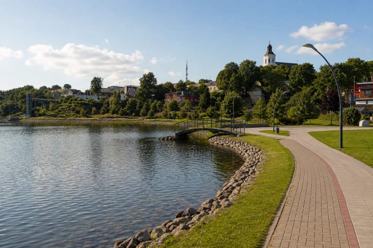
The Telšiai District Municipality strategic development plan describes a northern-shore leisure area with a beach, pier, walking and cycling paths, a park, playgrounds, and the Sculpture Park. This is the easiest place for a first encounter with Mastis, but its infrastructure represents only one side of the lake.
Zakso Hill on the north-eastern shore is a 10-12-metre-high kame with an absolute elevation of 139 m. From it, the lake can be understood within Telšiai's hilly townscape; from the water, the relationship between slopes, planting, and buildings is easier to read.
Walks and visiting conditions vary by section
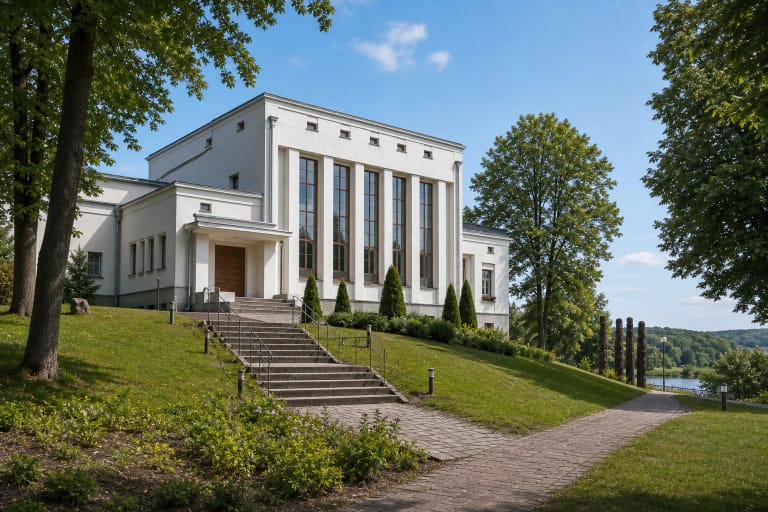
For an urban outing, choose the northern shore paths, the island footbridges, Zakso Hill recreation area, and the western direction towards the Sculpture Park and Žemaičių Museum Alka. No single public, uniform-surface ring around every shore has been confirmed, so do not plan the southern margins as an automatic continuation of the promenade.
On 8 July 2026 Telšiai District Municipality announced repairs from the beginning of Vilniaus Street towards the outdoor gym near Zakso Hill. The notice lists work on surfaces, drainage, benches, stands, bins, bridge structures, and decking; completion was planned within two months if weather allowed. Check the latest notice before travelling and follow temporary signs.
Swimming and nature require current care
In 2021 the Ministry of Environment reported that swimming in Mastis was not allowed at that time because of excessive pollution, and discussed pollution reduction and work on the silted section. This is not a current-day water test, so consult the latest municipal and public-health notices and local signs before swimming.
Even in the developed northern area, protect the water and shore: do not push through reedbeds, enter islands where this is prohibited, light fires in unprepared places, or leave rubbish. On southern and boggy margins, respect public-access boundaries and keep away from waterlogged ground.