- Place
- Švenčionys District Municipality
- Region
- Vilnius region
- Type
- forest campsite beside the Žeimena with picnic shelters and a kayak landing
- Address
- Quarter 61, Švenčionėliai Forest District, Aukštagiris Forestry, Švenčionys District
- Coordinates
- 55.10530, 25.94550
- Visit duration
- 1-3 hours, or longer for an overnight stay
- Best time
- in the warm season, after checking access and river and forest conditions
Aukštagiris Campsite, Žeimena Riverside Rest Area
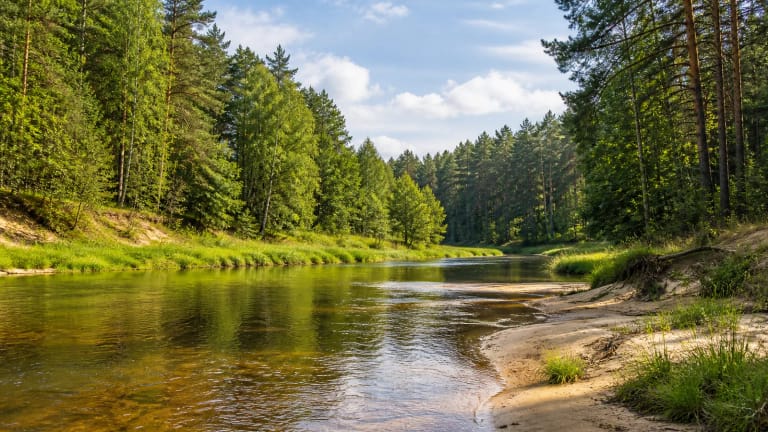
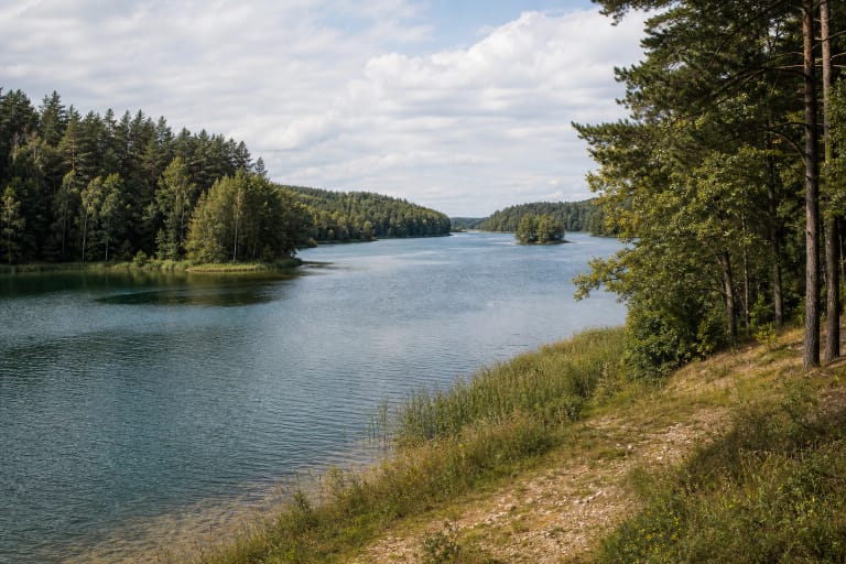
A forest clearing beside the Žeimena
Žeimena Campsite is an approximately 1.3-hectare forest recreation area in Aukštagiris Forestry, Švenčionys District, on the bank of the Žeimena River. It is intended for breaks, camping and water-tourism stops.
The map uses a representative point at 55.1053, 25.9455. It helps locate the campsite area, but navigation may not lead to a particular shelter and seasonal forest gates may be closed. Road conditions can depend on weather.
The key experience is the combination of river and woodland. This is a simple nature stop, not a large commercial campground, paved beach or luxury glamping complex, and its amenities depend on maintenance and season.
Shelters, fire pits and everyday amenities
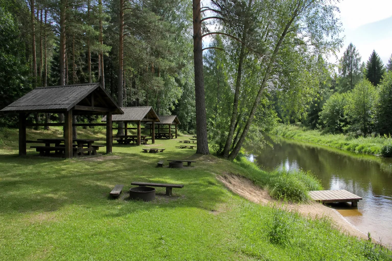
The campsite has three wooden picnic shelters with tables and benches, another table, three fire pits, an outdoor toilet and two information boards. Together these provide the basic infrastructure for a shaded meal, a short stop and a designated place for a fire.
A children's area has three climbing elements, two swings and a ladder. A roughly 160-square-metre volleyball area is nearby. Equipment condition may vary, so inspect it before children use it.
The shore has two bank-support posts and one plank landing for kayakers. The landing is a small functional river stop, not a broad swimming platform or a universally accessible boat launch for every type of craft.
Reaching the river and travelling by water
The campsite can be reached by a forest road or from the river. A hardened path roughly 1.5 metres wide and 145 metres long leads toward the water, alongside a 1.4-metre-wide, 13.6-metre stepped section. The dimensions help assess the route, but access for wheelchairs across the whole site is unclear.
For paddlers, the site works as a short break on the Žeimena. Check the current, water level and the landing boards before stepping out, and keep boats and gear away from the walking route. Floods, rain and spring thaw can change the bank quickly.
Protected-area and water-tourism rules matter more than convenience here. Use only the designated fire pits, do not damage the bank, avoid private areas and take rubbish with you when no suitable bin is available.
What the campsite map point means
Different approaches may show nearby forest or river-road markers for Žeimena Campsite. The coordinates mark a representative point in the area rather than a particular shelter, so follow road and site signs when arriving.
The address is given through a quarter, forest district and forestry, not a normal street number. Follow signs at the site, check the road surface and stop before a forest road becomes unsafe rather than forcing a vehicle farther in.
Do not merge the campsite with Žeimena River, the settlement of Žeimenys or another rest area by the water. This entry describes one equipped recreation site with shelters and a small landing.
Practical planning: nights, safety and season
Plan the campsite as a nature stop. Check current administration information before expecting a paid overnight stay, a reserved place or extra services.
Before setting out, consider the weather forecast, river level, forest-fire risk and road conditions. Supervise children continuously by the water, extinguish fires completely and remember that paths and slopes are harder to see after dark.
The campsite is beside the river, so assess the current and bank before landing or letting children near the water. Make fires only in the designated place and leave no waste behind.