- Place
- Plungė District Municipality
- Region
- Samogitia
- Type
- Gandingas hydroelectric reservoir and urban recreation shore
- Address
- Plungė, Plungė District
- Coordinates
- 55.91321, 21.82883
- Visit duration
- 2-4 hours for the shore, beach, and paths; longer if you add water activities or Plungė sights
- Best time
- May-September for walking and waterside recreation; check current water quality and local rules before swimming
Gandingas HE Reservoir, Babrungas impoundment, Plungė Sea
What Plungė Sea is
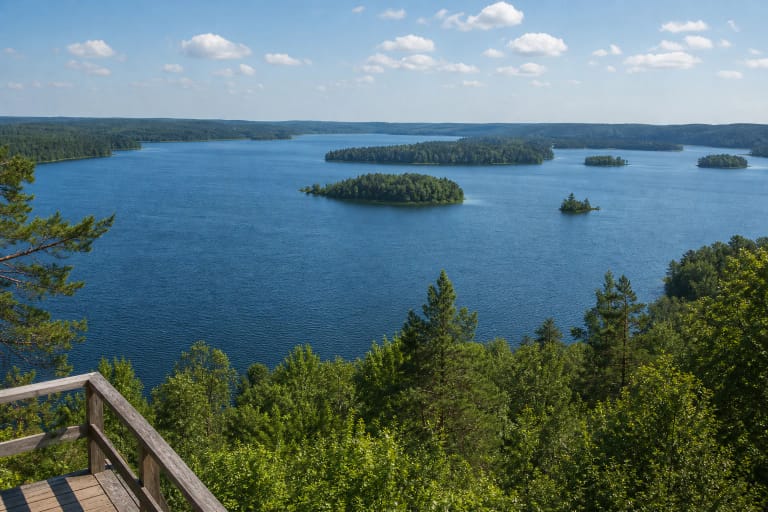
Plungė Sea is not a natural lake. It is the local name for the Gandingas hydroelectric reservoir, an impoundment of the Babrungas on the western edge of Plungė. The municipality's historical project account says it was formed in 1961 by damming the river, creating a roughly 80-hectare water body with several small islands.
The listed coordinate 55.913211, 21.828832 marks a representative recreation-shore access. It should not be read as the centre of the reservoir or the only place to leave a car: the shore and facilities extend across a wider urban area. Follow local signs and use an access point that is open when you arrive.
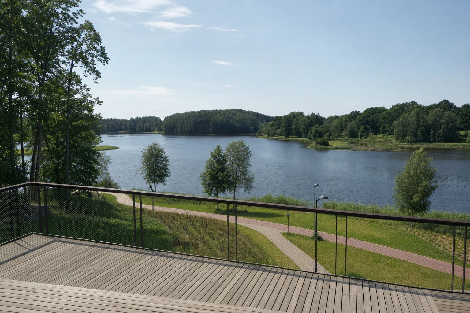
Plungė Sea is defined by winding, partly marshy shores, small islands, green Babrungas valley slopes, and urban recreation infrastructure. It works well for a short waterside stop, but it is not a remote lake separated from the town: local rules, visitor flows, and seasonal maintenance matter.
A renewed urban recreation shore
The municipality's account of the shore project completed in 2022 lists pontoon landings, waterfront edges, boat-storage places, a beach, changing cabins, and a lifeguard tower. These features make the shore more legible than an undeveloped bank, but their condition and use arrangements may be updated.
The project description also mentions a viewpoint, a birdwatching platform, children's and outdoor-fitness areas, and improved access to the rowing base. One visit can therefore combine a quiet panorama with more active time near the water.
The municipality also lists walking and cycling paths, a pedestrian bridge, canopy and spring paths, five car parks, and an electric-vehicle charging point at one of them. Check signs on site, because repairs, events, and seasonal use can change the most convenient entrance.
Things to do by the reservoir
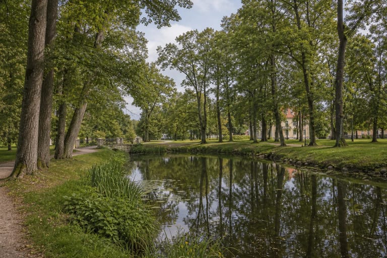
The main Plungė Sea experience is a slow walk along the shore: trees and grass lead towards the beach, viewpoints, paths, and water. It suits a short town outing, photography of the islands and winding banks, birdwatching, or simply time beside the Babrungas impoundment.
In warm weather, you can plan swimming at the designated place, but a beach, lifeguard tower, or other facility does not by itself mean that lifeguards are on duty or that water quality has been tested that day. Check the municipality's latest information, signs, and weather before entering the water.
The shore project improved access to the rowing base and provided boat-storage places, but that is not blanket permission to launch any craft from any part of the bank. Follow signs and event rules, and stay away from hydroelectric equipment and dam structures.
Planning a few hours at Plungė Sea
For a two-to-four-hour visit, choose one car park, walk an accessible stretch of shore, allow time for the beach or viewpoint, and leave room for the play and sports areas. The official sources checked here do not give a total loop length, so do not build your itinerary around an assumed number of kilometres.
If you are cycling or using a stroller, assess the surface, slopes, and any temporary closures in advance. The pedestrian bridge and improved paths may connect different spaces, but every point on the shore is not necessarily equally accessible.
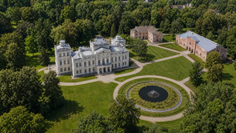
Plungė Sea combines naturally with Plungė Oginskiai Manor and Park, the town centre, or Babrungas water heritage. With a full day, continue to Plateliai and Žemaitija National Park, treating that as a separate route with different parking, access, and protected-area rules.
Water monitoring and safety
The national 2026 bathing-water schedule lists three sampling points for Gandingas Reservoir: by Babrungo g. 4 in Kaušėnai, by V. Mačernio g. 67B, and at the end of Gandingos Street in Plungė. That matters because a result at one point does not describe every part of the roughly 80-hectare reservoir every day.
For the first samples of the 2026 season, taken on 25 May, intestinal enterococci and E. coli measurements at all municipal sampling points met the requirements of Lithuanian hygiene standard HN 92:2018. This is a dated result, not a season-long guarantee: check the latest municipal update and signs before swimming.
A lifeguard tower is an infrastructure feature, not a promise that a rescue service operates on the day of your visit. Watch children closely, do not overestimate your swimming ability, and remember that other visitors, rowers, and anglers may share the shore.
Water level, wind, and bank conditions can change. Do not enter the water near the dam or other technical equipment, stay within marked limits, park only where permitted, and use bins or take your waste away.
Plungė Sea in a wider Samogitian route
The reservoir works best as part of a town-and-water itinerary. Walk by the Babrungas first, visit Plungė Oginskiai Manor Park, and then spend another part of the trip with Samogitian towns, manor landscapes, or national-park trails.
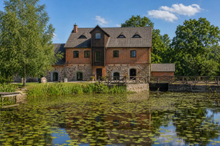
The Babrungas theme continues beyond the reservoir through Babrungėnai Watermill and other Plungė District landscapes. This makes a good route for visitors who want to add history, architecture, and water heritage to time on a beach.
If you want a larger lake, islands, or longer nature trails, choose Lake Plateliai and Žemaitija National Park. Plungė Sea is a convenient urban stop for that wider trip, not a substitute for a full day in the protected landscape.