- Place
- Šilelis, Kaunas District Municipality
- Region
- Kaunas District
- Type
- river confluence and protected valley landscape
- Address
- V. Dautartas Street, Šilelis, Kaunas District
- Coordinates
- 54.93150, 23.75755
- Visit duration
- 45-90 minutes; up to 2-3 hours with a longer walk along the reserve edge
- Best time
- a dry late-spring or summer evening; banks can remain wet after floods or heavy rain
Nevėžis Mouth, Nemunas-Nevėžis Confluence, Nemuno ir Nevėžio santaka
The exact listing leads to Šilelis, not the Old Town confluence park
Google Maps marks “Nemuno ir Nevėžio santaka” on the V. Dautartas Street side in Šilelis, at 54.9315022, 23.7575494. This is the Kaunas District bank opposite the Raudondvaris area. Open the exact listing linked on this page, because a search for “confluence” alone often returns the much better-known Nemunas and Neris Confluence Park in Kaunas Old Town.
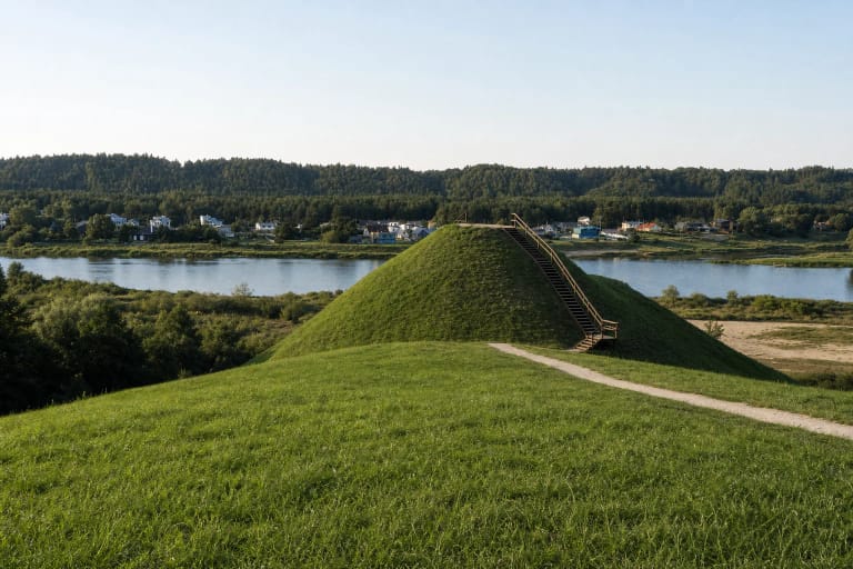
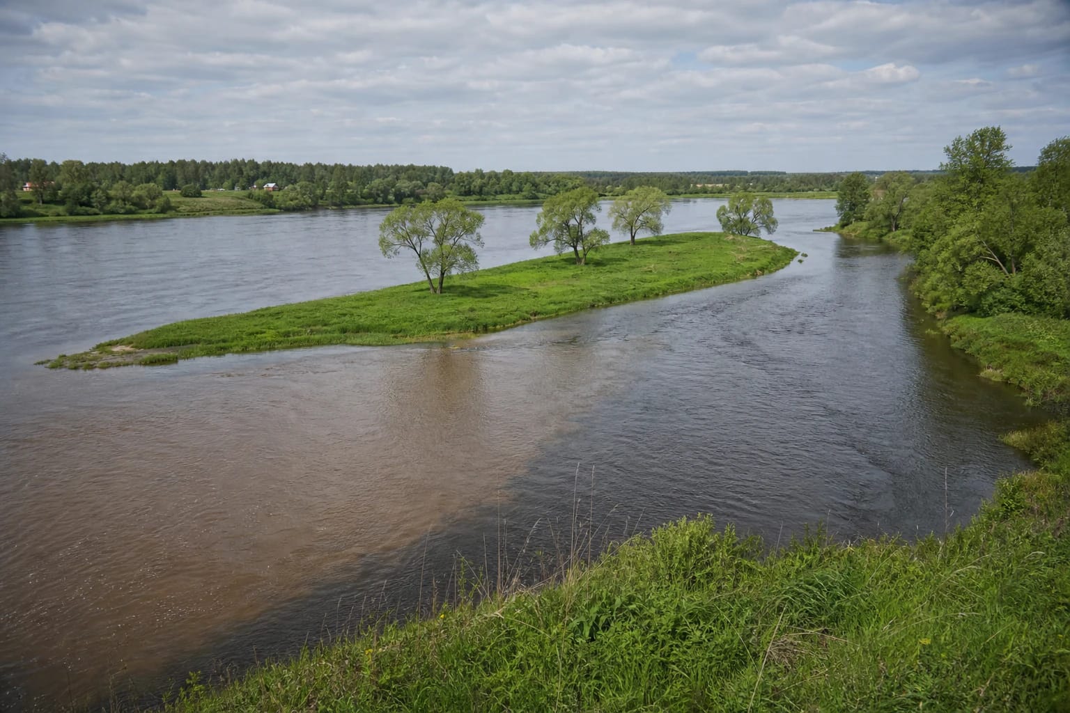
There is no formal city square or single compulsory observation tower here. The attraction is the riverscape itself: the broad Nemunas, the Nevėžis arriving from the north, low flood-prone banks, traces of islands and former channels, and belts of woodland. The view depends on the chosen bank access, vegetation, and river level.
On 27 July 2026, the public Google Maps card for the exact place showed 4.7 out of 5. It did not provide a reliable overall review count, so that figure should not be guessed from photograph or other secondary counters.
The Nevėžis ends a 210.8-kilometre journey here
VLE identifies the Nevėžis as a right tributary of the Nemunas, 210.8 kilometres long, with a drainage basin of 6,143.8 square kilometres. It joins the Nemunas by Raudondvaris, 199 kilometres from the Nemunas mouth. Rather than looking only for a boundary between two water colours, which is not always distinct, follow the different channel directions and widths.
The lower Nevėžis occupies an ancient valley roughly one kilometre wide and 15-20 metres deep. Near its mouth, the channel can reach 55 metres in width and four metres in depth, while average discharge is 33.2 cubic metres per second. This explains why the place is not comparable to a still pond: snowmelt, heavy rain, and backwater from the Nemunas affect both current and level.
The junction is most graphic when the rivers differ in colour or turbidity, but this is never guaranteed. Even without a sharp colour line, the confluence can be read through the mouth's shape, flow lines, suspended material, and the low relief of an island or peninsula.
The 446-hectare reserve protects much more than a view
The Nemunas-Nevėžis Confluence Landscape Reserve was established in 2002. Saugoma.lt rounds its area to 446 hectares, while Kaunas Municipality gives 446.5 hectares. Protection covers not only the line where the rivers meet, but parts of both valleys, an unbuilt Nemunas bank, slopes, and vegetation.
The area matters as a green belt supporting the city's microclimate, an aerodynamic corridor, and a wildlife migration route. Kaunas Municipality records 471 species of higher plants, three of them included in Lithuania's Red Data Book. That is a serious reason to stay on existing paths, keep vehicles out of meadows, and avoid damaging riverbank plants.
In 2018, Kaunas Municipality announced a management project involving natural-aggregate walking and cycling paths, three viewpoints, rest infrastructure, invasive-plant removal, and meadow care. As the public article described work while it was being implemented, the present condition of a particular path section or bench must be judged on site.
Weather and water shape a walk on this natural bank
On the V. Dautartas Street side, leave a car only where parking is permitted and will not inconvenience residents. Continue on existing paths. Grass, gravel, and soil can become wet and slippery after heavy rain, spring thaw, or high water, so smooth-soled footwear is a poor choice.
The confluence is not a designated bathing beach. Currents from two rivers, a changing bed, and debris near the mouth demand caution, so plan this as a walk and a landscape-viewing stop. For swimming, choose a maintained municipal beach with current water-quality information.
Public sources do not specify gates, opening hours, or a compulsory ticket for this natural place. That does not permit access by any route: respect private property, protected-area signs, temporary restrictions, and the hazards of flooded sections.
Confluence islands carried strategically important castles
VLE's history of Raudondvaris states that the Grand Duchy of Lithuania and the Teutonic Order fought in this area in the second half of the fourteenth and early fifteenth centuries. Lithuanians built New Kaunas Castle on Virgalė Island in the Nemunas at the Nevėžis mouth; after destroying it, the Order built Gotteswerder Castle.
This history turns the confluence into more than a natural attraction. Islands and shallows controlled movement along the Nemunas, while the junction of two rivers carried military and transport value. Channels and island forms have changed over centuries, so today's landscape is not a precise map of the fourteenth century.
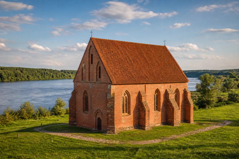
Continue the story at Raudondvaris Manor and Pypliai Hillfort. The first represents a later cultural layer on the Nevėžis terrace; the second gives a higher perspective on the scale of the Nemunas valley.